|
|
|
Access InformationFrom the Peninsula and East Bay, to reach the El Camino Real entrance near the south end of the Stevens Creek Trail, take Hwy 101 to Hwy 85 southbound to the El Camino Real exit. The El Camino Real trail head is right next to Hwy 85. There is no parking dedicated for the trail, but public parking is nearby in shopping centers and side streets. VTA Bus Route 22 stops by the shopping center a half block from the trail head.To reach the Sleeper Avenue entrance, currently the start of the trail, continue on El Camino Real west. Turn left on Grant Avenue. Turn left on Sleeper Avenue, which is next to Cuesta Park. The trail entrance is at the corner of Sleeper Avenue and Franklin Avenue. This is a neighborhood entrance. There is no parking lot here, but there is a small park. You can park along the street, but it is better to park at Cuesta Park on Grant Avenue and Cuesta Drive. Cuesta Park is the largest urban park in Mountain View. It has parking lots, BBQ facilities, a bocce ball court, children's playground, horseshoe area, large lawn areas, picnic areas, tennis courts, volleyball court, and rest rooms. From there, cross over Grant Avenue, then walk or bike down Sleeper Avenue to the trail entrance. To reach the next trail head north of El Camino, head west on El Camino Real from Highway 85. Turn right on Yuba Drive and follow it to its end to reach the Yuba Drive trail head. Parking is available on Yuba Drive and at the trail entrance. To reach the Landels Park trail head, continue west on El Camino Real. Turn right on Calderon, then right on West Dana Street. Alternatively, to reach Landels Park from the south, take Hwy 85 northbound and exit at Evelyn Avenue. Turn left onto Evelyn, then left on Calderon Avenue. Turn left on West Data Street. Turn into the parking lot at Edith Landels School. Note that public parking is not allowed during weekdays from 7 am to 4 pm. During those times, park on Dana. A sign by the sidewalk at the end of the parking lot marks the Landels Park Trail entrance. Landels Park can also be accessed from Mercy Street to the south, but the city of Mountain View requests that these accesses be used by neighborhood residents only. The Stevens Creek Trail can also be accessed from several other points along the trail, including the Caltrain and VTA Light Rail stations on Evelyn Avenue/Central Expressway. Trail entrances are also at Creekside Park, Central Avenue, Middlefield Road, Whisman Park, Moffett Blvd., La Avenida, and Crittenden Lane. The Stevens Creek Trail can also be accessed from Shoreline at Mountain View. When the new section of the Bay Trail running past Moffett Field opens, it will connect the Stevens Creek Trail with the Sunnyvale Baylands. |
|
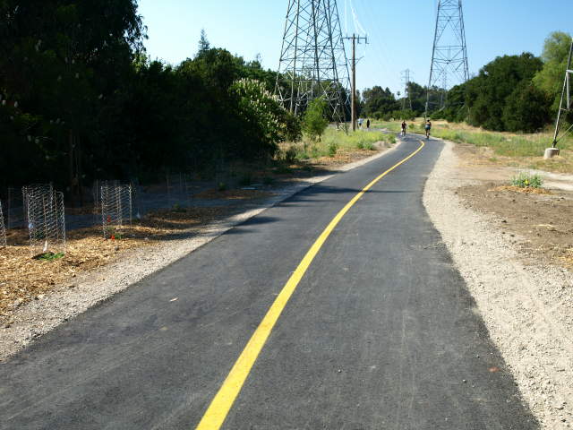
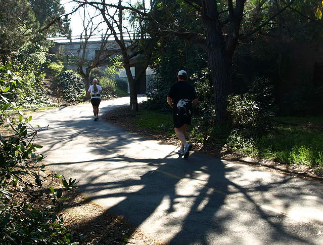
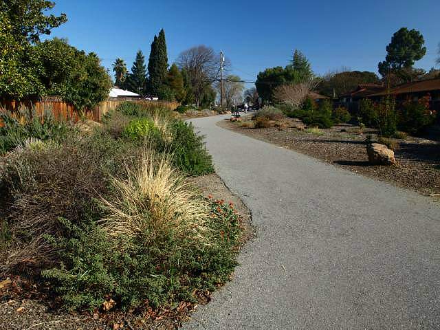
Description and ViewsThe photo tour below begins at the new Sleeper Avenue entrance. They were taken on 5/23/09. The newest section of the Stevens Creek Trail from Sleeper Avenue to El Camino Real was opened on April 27, 2009. (See the Mountain View Voice story.) This is Phase 1 of Reach 4 Segment 2 of the trail. There was a dedication ceremony on June 13, 2009, coinciding with the opening of the Moffet Blvd. over-crossing. The pictures below are from before and after the dedication on May 23 and June 14, 2009.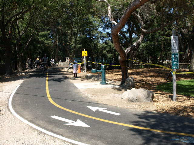 The start of the trail at Sleeper Avenue. 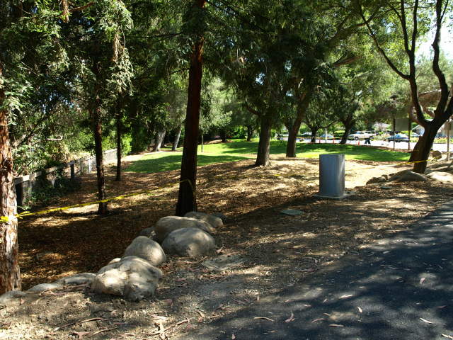 This small park, Sleeper Park, is on the corner of Franklin Avenue and Sleeper Avenue, currently the start of the trail. 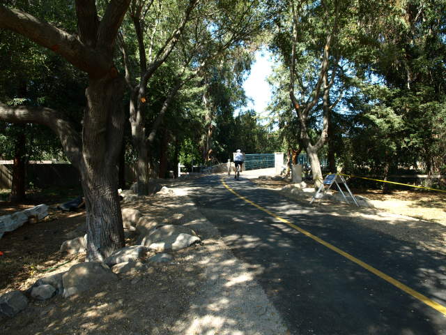 The trail crosses over Stevens Creek on a new bridge. On the other side is Sleeper Open Space. 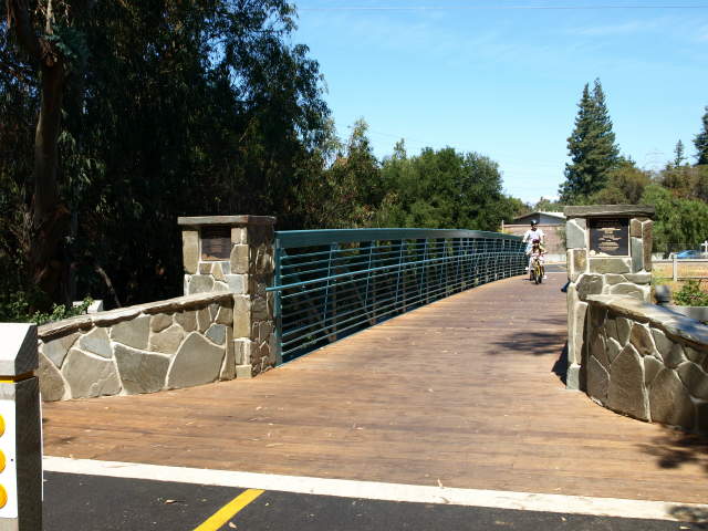 This is the new bridge over Stevens Creek. Style-wise, it is very similar to the other creek bridges on the trail south of Hwy 101. 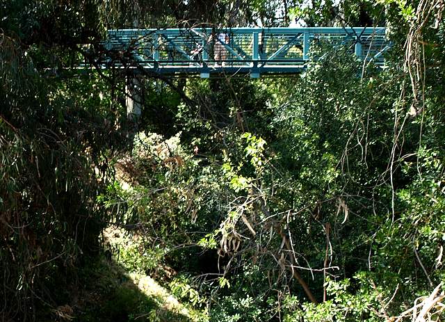 View of the bridge and the heavily vegetated bed of Stevens Creek. 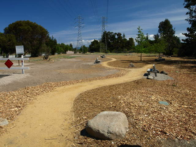 This is next to the end of the
trail,
looking south. A graded dirt path leads to a small park-like area. Oak
trees have been planted here, so this eventually will be an oak grove.
A plaque here says this area was built with a gift from the employees
of Intuit Inc. to recognize their company founder's 25th anniversary
with the company. A fence beyond this area blocks further travel
south.
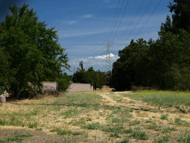 Looking through the fence, there
is a freeway sound
wall to the left next to Highway 85. A nearby sign indicates that the
next
section of the trail will cross over Highway 85 on a bridge, leading to
Dale Avenue and Heatherstone Way. This is Phase II of Reach 4 Segment
2. The design of this route is scheduled to be completed in December
2009, but the construction phase is as yet unfunded. It is estimated to
cost $5 million.
 Looking north, the trail runs
through the Sleeper Open Space area, a former orchard. New plants and
trees have been planted. Old orchard trees and ancient oaks are
scattered about the area.
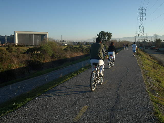
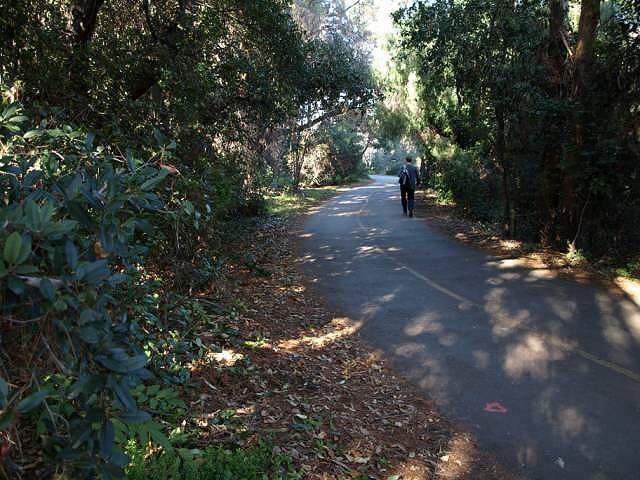
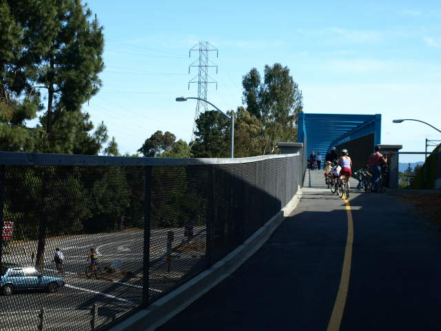
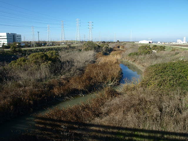
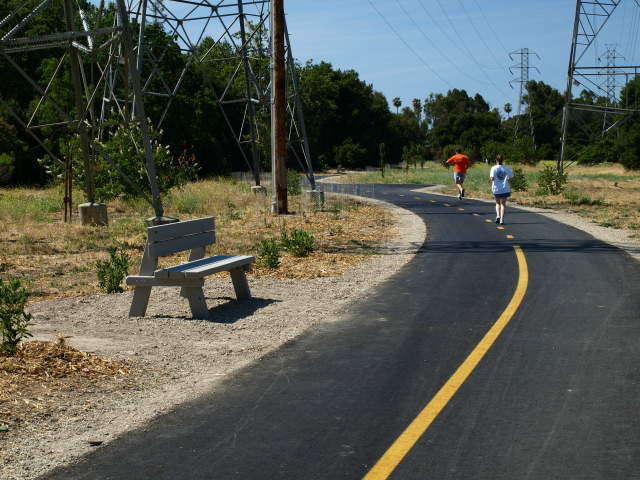 The trail runs between power towers. 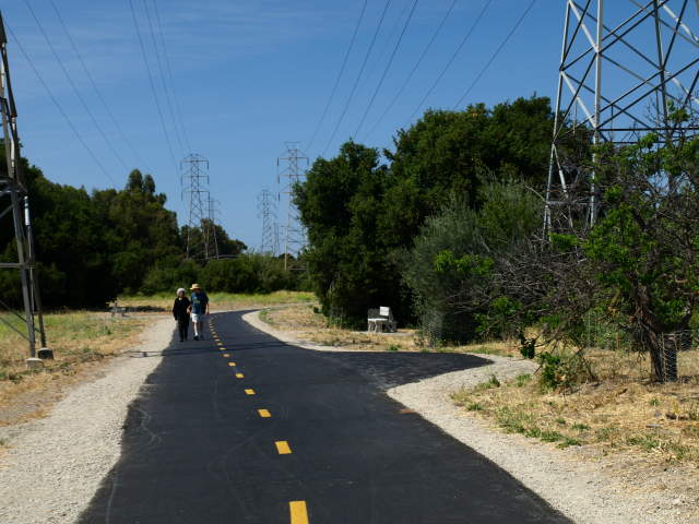 There are several benches along the trail. 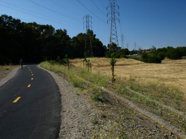 There is a wide field to the east of the trail. Ahead is the El Camino Real on-ramp to Hwy 85. 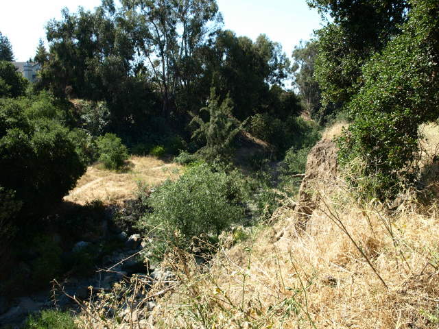 Mid-way along the Sleeper Open Spce section, the creekbed of Stevens Creek is wide open and sunny, with homes on the other bank. 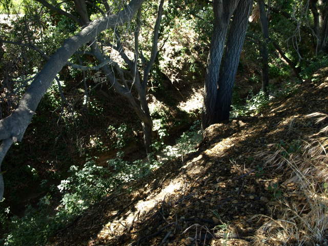 Approaching El Camino Real, next to a mobile home park, the creek becomes narrower and shadier. The banks of the creek are very steep. At this time of year (May), the creek was dry.  Nearing the El Camino Real/Hwy 85 entrance. 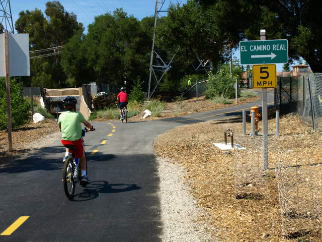 The trail reaches the El Camino Real entrance. There is a bus stop a short distance to the left next to the shopping center. The tunnel ahead leads under El Camino Real. 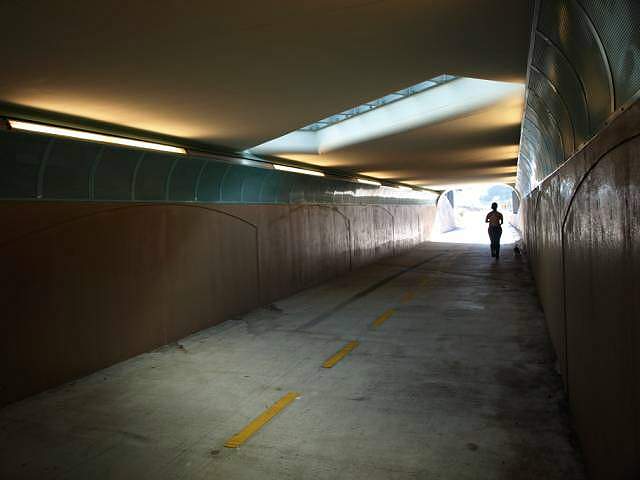 The tunnel under El Camino Real is lit by lights along the tops of the walls and by a skylight in the middle. 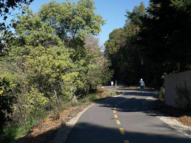 This is the trail just past the hotel on the right. 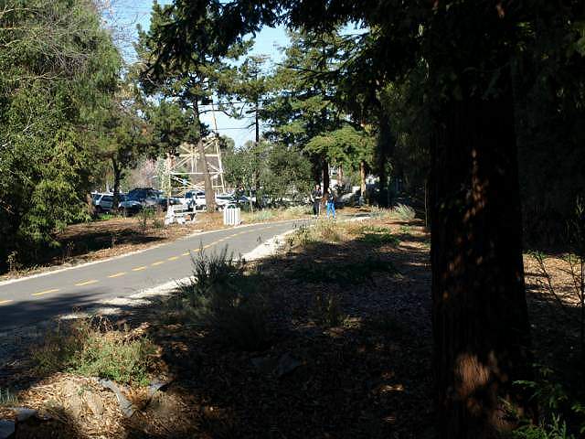 Ahead is the Yuba Drive trail head, which has a bike rack, drinking fountain, and parking. 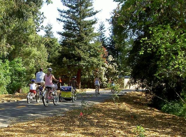 Bikes heading south from the Yuba trail entrance (4/13/08) 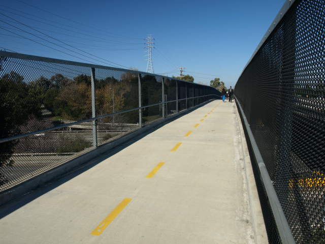 This is the reinforced concrete bridge over Hwy 237 and the Hwy 85 offramp. 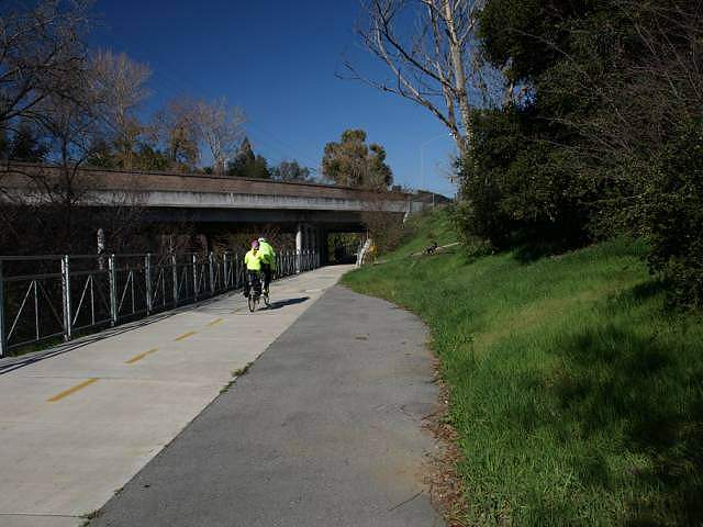 The trail goes under the Hwy 85 off-ramp to Hwy 237. Hwy 85 is to the right of the trail. 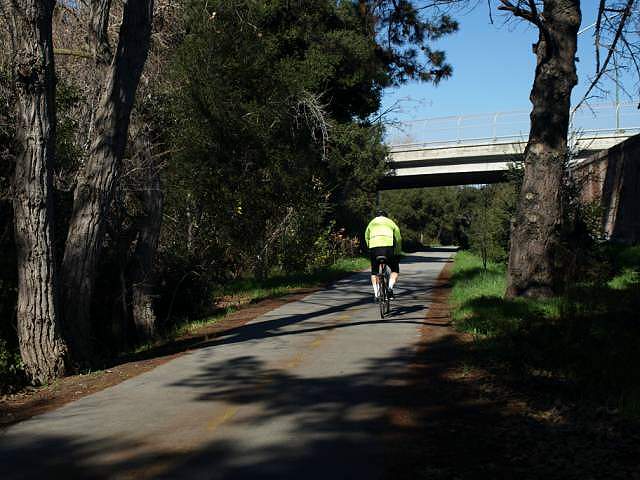 The trail goes under the Dana Avenue bridge. 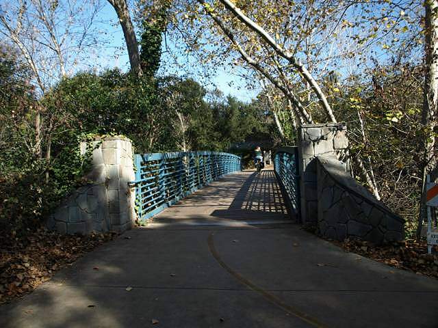 This pedestrian bridge, just north of Dana Avenue, leads from Landels School and Park to the trail. 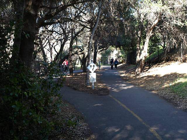 In this shady section of trail north of Dana Ave, the trail splits around an island. 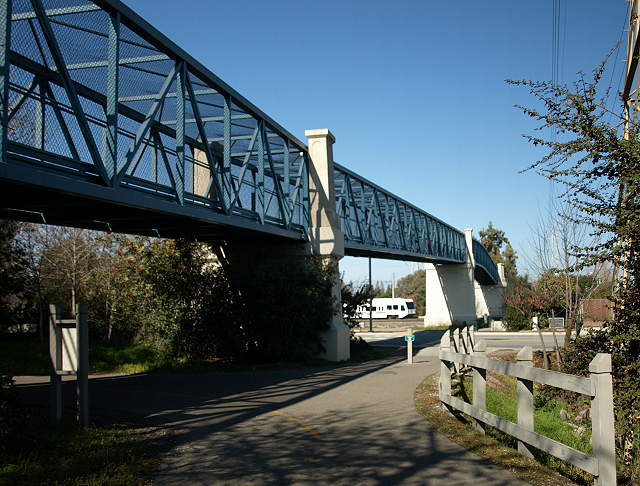 This huge steel 1100-foot
pedestrian bridge elevates the trail over Evelyn Ave., 4-lane Central
Expressway, 2 Caltrain train tracks, and the VTA Light Rail
tracks. Ahead, a Light Rail trolley can be seen crossing under the
bridge. The Evelyn Light Rail station is a short distance to the right
down Evelyn Avenue. The Dowtown Mountain View Transit Center is a short
walk to the left up Evelyn. The Transit Center is a major hub for
buses, the VTA Light Rail, and Caltrain. It is the northern end of the
Light Rail line. It is also at the end of Castro Street, which is lined
with restaurants, shops, the Mountain View Center for the Perfoming
Arts, the City Hall, and central library.
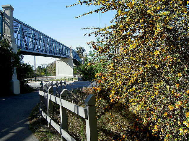 Flowering bush near the trail entrance (4/13/08) 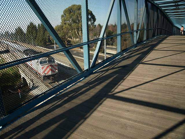 A southbound train crossing under the pedestrian bridge. 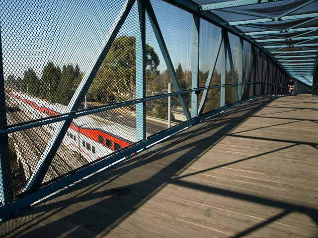 A northbound train crossing under the pedestrian bridge. 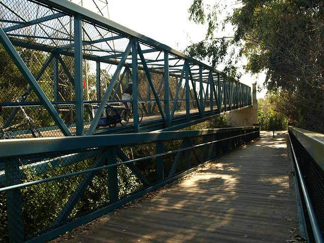 This is the ramp leading down from the north footing of the Central Expressway bridge. 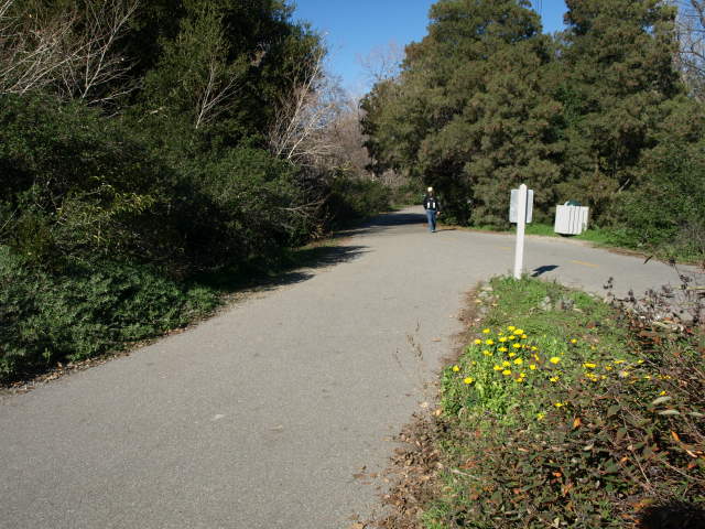 This is the trail north of the Central Expressway Bridge. 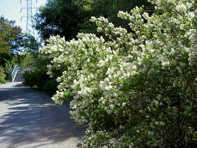 Flowering bush near the north footing of the Central Expressway Bridge (4/13/08) 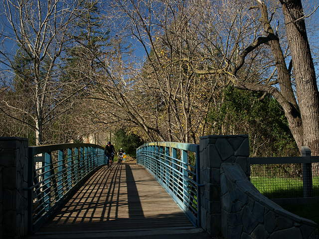 The trail crosses over Stevens Creek on this bridge near the Central Avenue trail entrance. 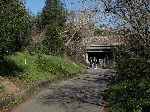 Up until now, the trail has been
to the west of Hwy 85. Here it goes under the highway, which will run
to the west of the trail.
 Just north of the Hwy85 undercrossing is the bridge to Creekside Park 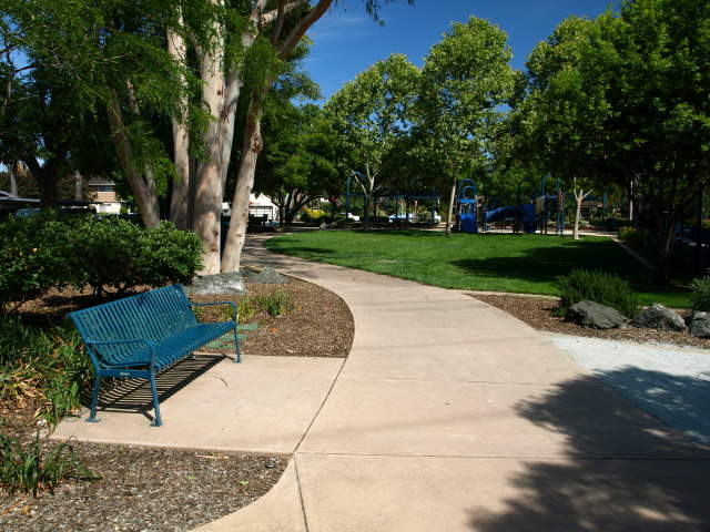 Creekside Park (6/14/09) 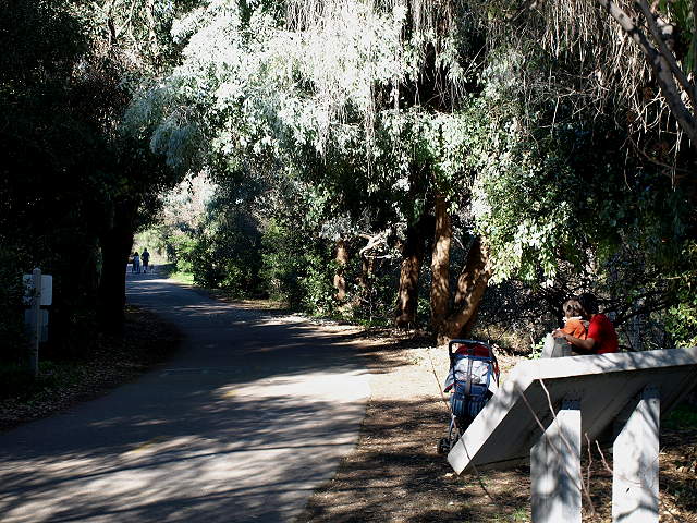 The trail enters a shady section. A dirt side-trail branches off just ahead. 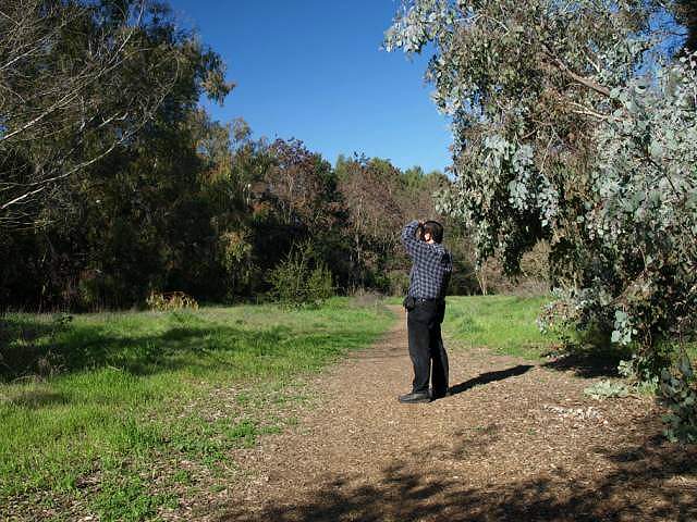 The dirt side trail parallels the paved the trail and runs through a grassy clearing surrounded by tall trees. 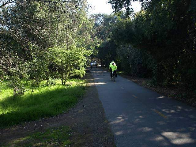 Looking south down the trail near the Middlefield Road undercrossing. 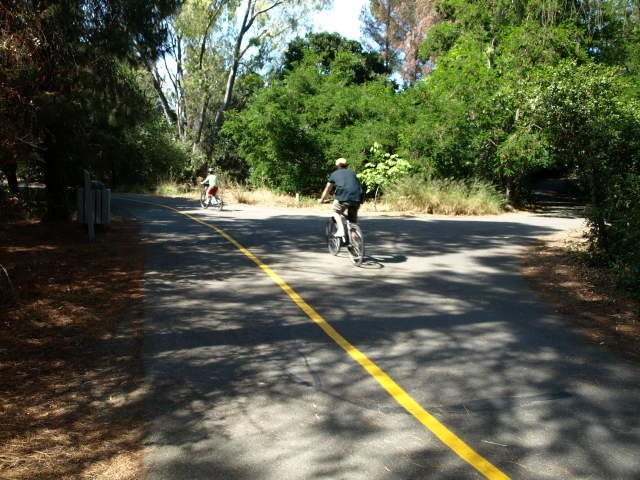 The trail branches to the right to reach Middlefield Road (6/14/09). 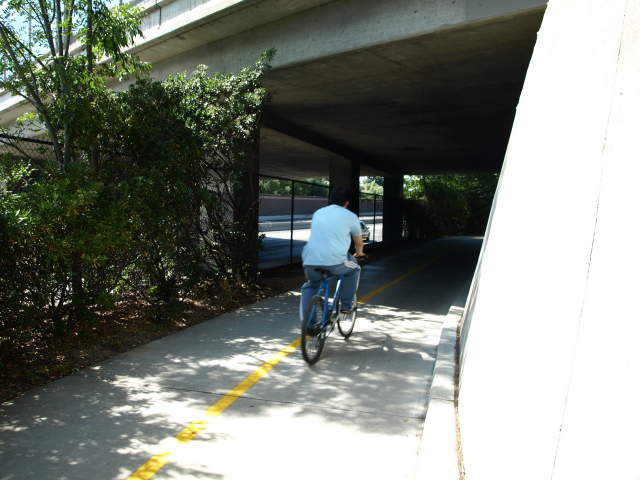 At the Middlefield Road
under-crossing. Only a chain link fence separates
the trail from Highway 85 under the bridge, which makes it a very
noisy segment for a short distance before the soundwalls begin again.
(6/14/09)
 Looking back at the Middlefield
Road undercrossing next to Hwy 85.
 The shady trail north of Middlefield Road leads to the Whisman Park bridge. 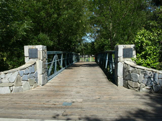 The bridge to Whisman Park (6/14/09). 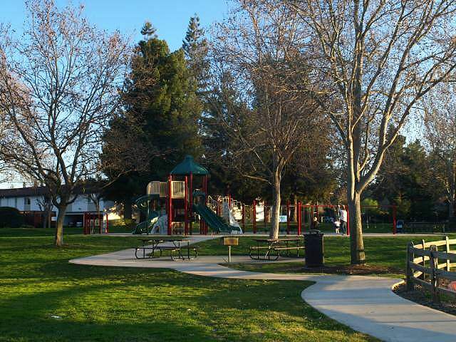 Whisman Park is a large park
with a playground, tennis courts, picnic tables, restroom, and playing
fields. Next to it is Whisman School.
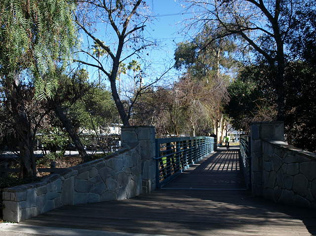
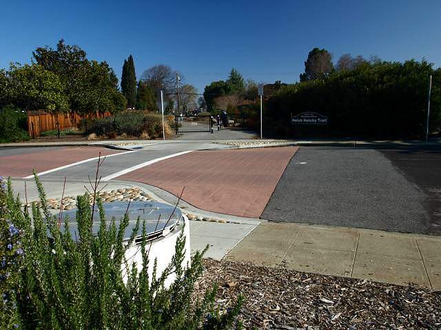 Across the Easy Street from
Whisman Park is the beginning of the Hetch Hetchy Trail. The round
structure is an access port to the Hetch Hetchy pipeline, which runs
underground through this area. The short trail follows the pipeline
easement.
 This is the landscaped part of the Hetch Hetchy Trail. 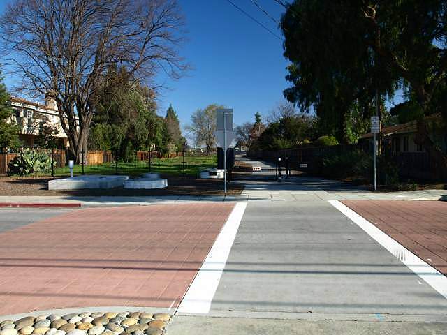 Across Tyrella Street is the next section of the Hetch Hetchy Trail, which is not landscaped. 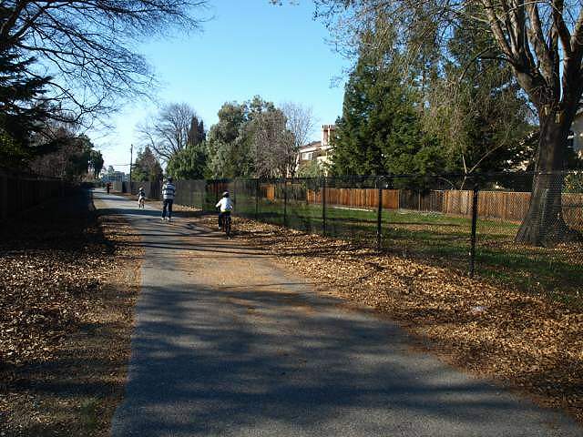 The trail runs by a field next to an apartment complex, then past an abandoned nursery. 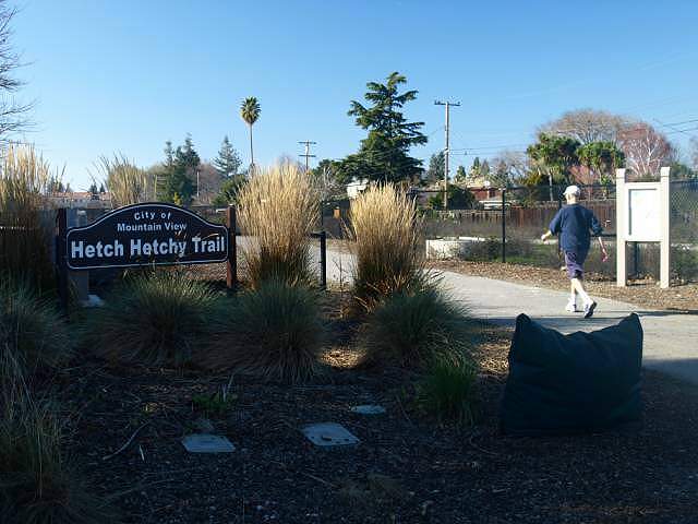 This is the other end of the Hetch Hetchy Trail at N. Whisman Road. 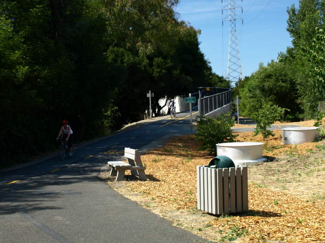 Back to the Stevens Creek Trail,
this is the entrance to the new Moffett Blvd. pedestrian
over-crossing, which was dedicated on June 13,
2009. (This picture and the pictures of the new bridge were taken on
6/14/09.) Architecturally, the bridge is very similar to the Central
Expressway bridge. The path to the right leads to Moffett Blvd. For
many years, Moffett Blvd. was the only at-grade road crossing on the
Stevens Creek Trail.
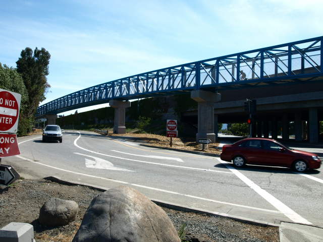 This is a street-level view of the bridge, next to the Hwy 85 off-ramp. Moffett Blvd. is on the right. This is a busy off-ramp, and cars turning right cross the old trail route. 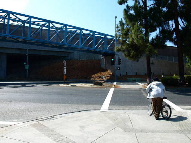 The signal and crosswalk at Moffett Blvd. used to be the only way for the trail to cross the road before the bridge was built. The trail entrance is on the other side of the road. 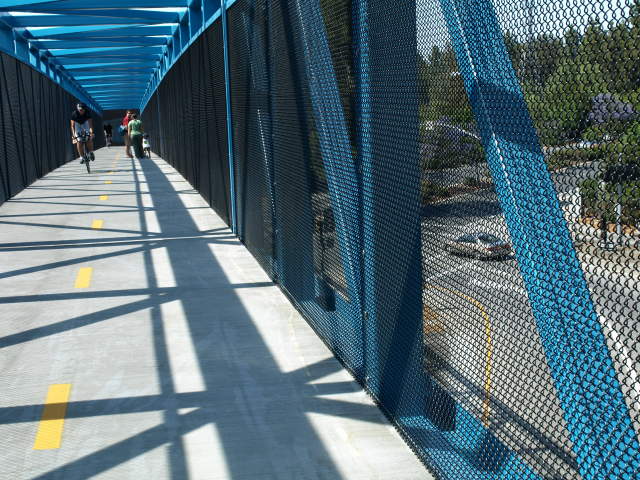 View from the inside of the
bridge, looking down at the Moffett Blvd. street crossing and Hwy 85
off-ramp. Pedestrians and bicyclists can now safely cross Moffett Blvd.
without having to stop and without being exposed to automobile traffic.
 This is the other end of the bridge, looking back at the crosswalk and Hwy 85 off-ramp. 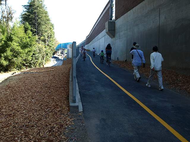 This is the north ramp to the bridge. The path to the left leads to Moffett. Blvd. 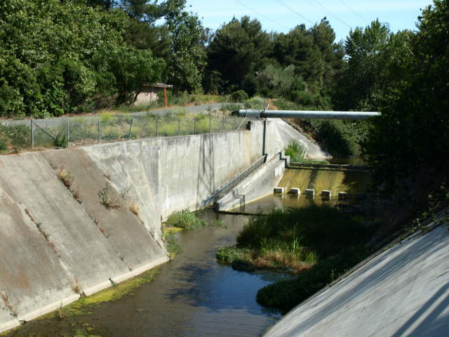 Just before Hwy 101, there is a small dam and fish ladder on Stevens Creek (6/14/09). 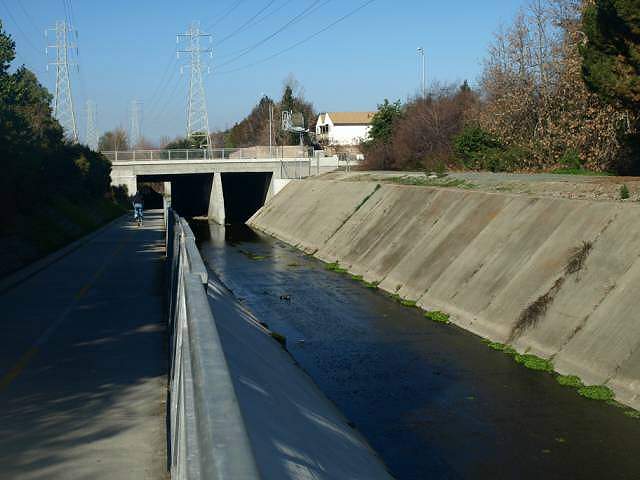 The Highway 101 undercrossing. 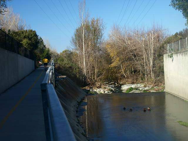 The ramp up from the Hwy 101 undercrossing. 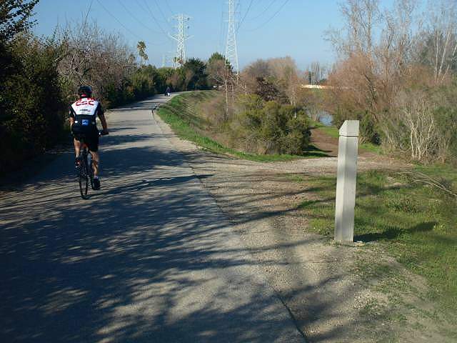 Dirt ramps lead down from the paved trail to run next to Stevens Creek.  View of one of the lower paths, Stevens Creek is on the right. (9/3/07) 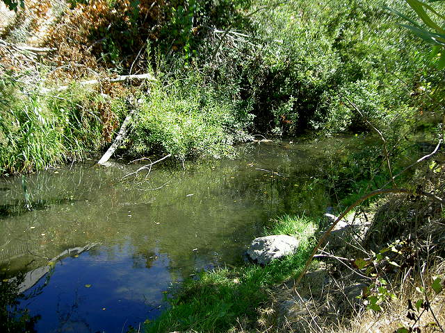 Stevens Creek near one of the lower paths (9/3/07) 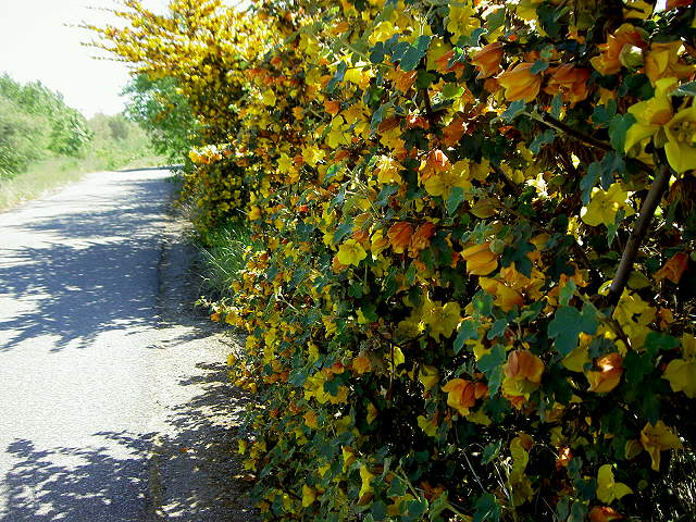 Flowering bushes along the trail (4/13/08)  The La Avenida Trail head has an amphitheater-like rest area. On the other side of the creek is the giant wind tunnel at Ames Research Center. 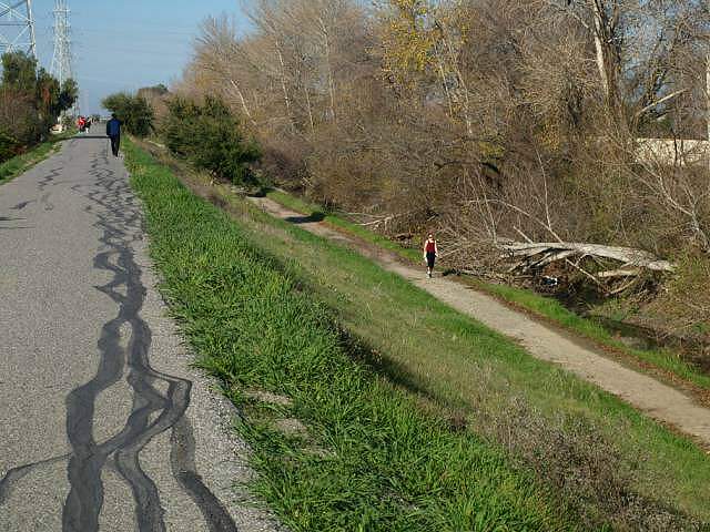 The paved trail runs on top of the creek levee, while the dirt trail runs at creek level. 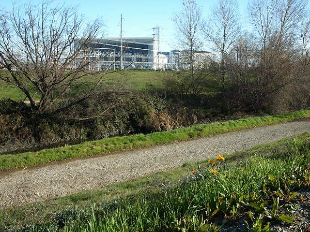 View of the intake and power substation for the giant wind tunnel. 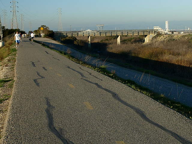 Approaching the NASA Bridge and the Crittenden Lane trail head 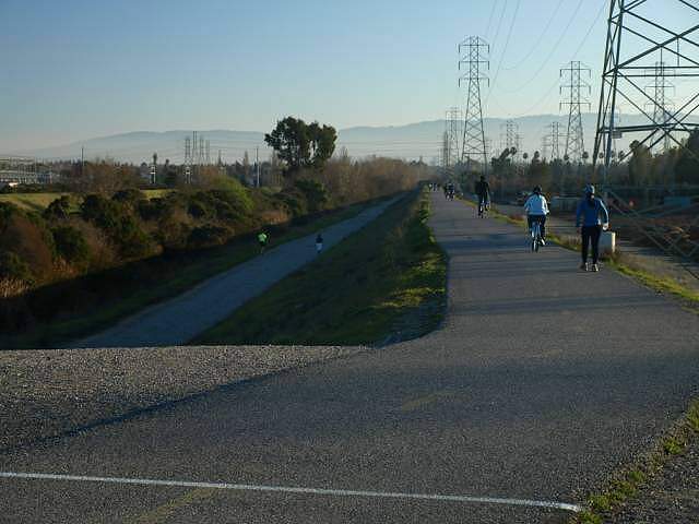 Looking south along the trail near the NASA bridge. You can see the paved levee trail and the unpaved trail at creek level. To the right below the trail is a tree farm. 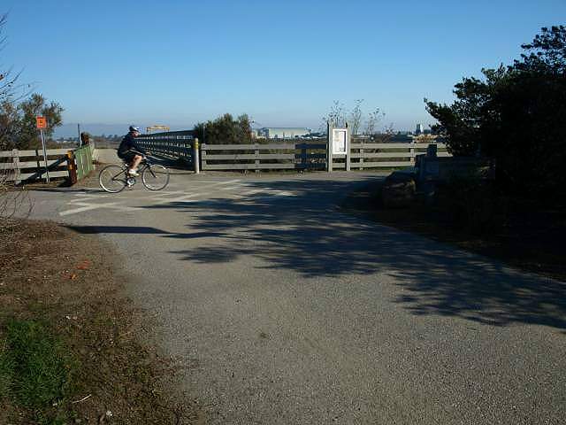 The entrance to the trail from Crittenden Lane. The NASA bridge is ahead. 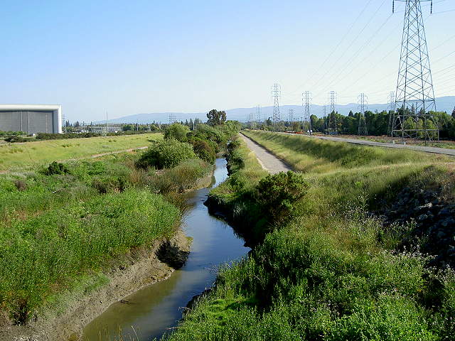 View south from the NASA bridge.
The Stevens Creek trail is on the right. The trails to the left are
off-limits to the public. Signs say you cannot go to the right on the
levee past Ames Research Center. (4/13/08)
 View north of Stevens Creek from
the NASA bridge. The paved trail is to
the left. The unpaved levee roads are to the right. At the east end of
the bridge, turn left.
 The levee service road on the east
side of Stevens Creek is not paved. It is not part of the Stevens Creek
Trail, but it is accessible to the public. A lower road goes down to
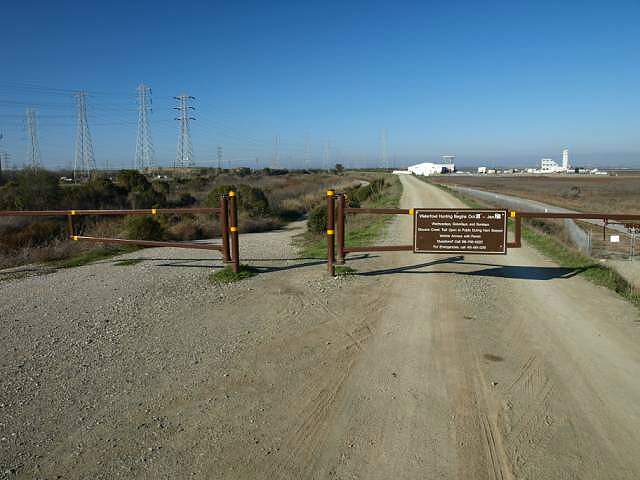
the creek level. The levee gate here shows hunting season dates.
Hunters use the levee, but public access is allowed during hunting
season. Ahead on the right is a NASA storage yard. NASA property ends
just past the storage yard.
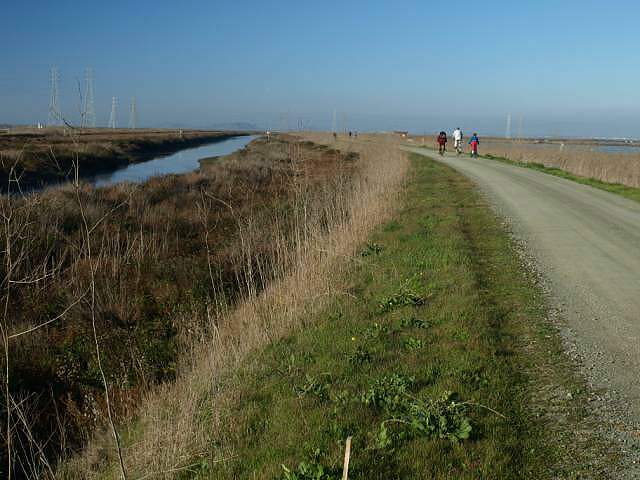 Heading north on the gravel levee, next to Stevens Creek. The Stevens Creek Shoreline Nature Study Area is to the right. 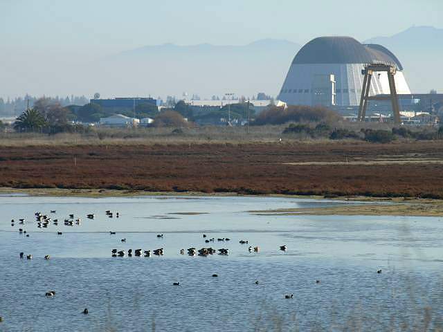 View across the pond at the Nature Study Area, with Moffett Field's Hangar One in the background. 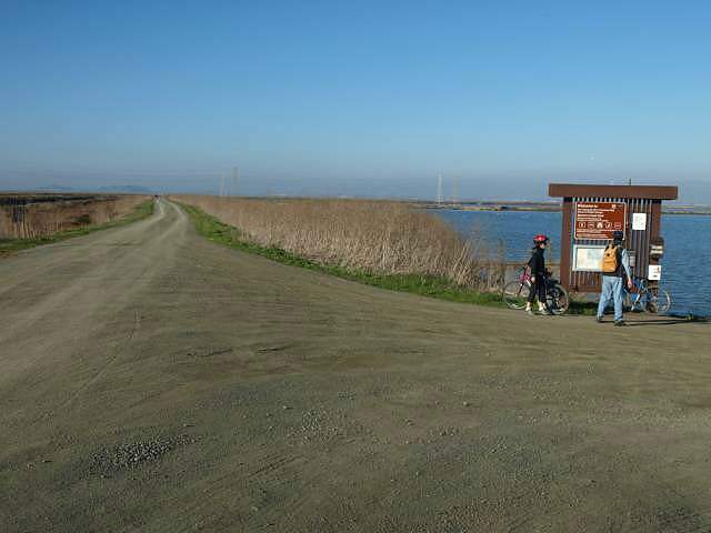 After the Nature Study Area, the
salt ponds begin, formerly owned by
Cargill, but now under the jurisdiction of the US Fish & Wildlife
Service. The sign
board has hunting information.
 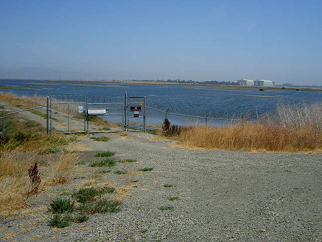 One of the levees is accessible to the handicapped. Access is by special permission from the USFWS (9/3/07). 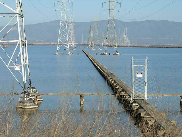 View along the catwalks under the power towers that cross the salt ponds. They are closed to the public. 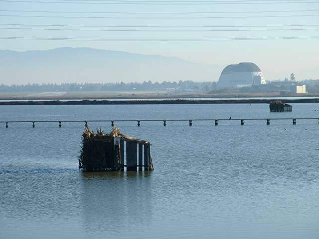 Hunting blind in the salt pond. 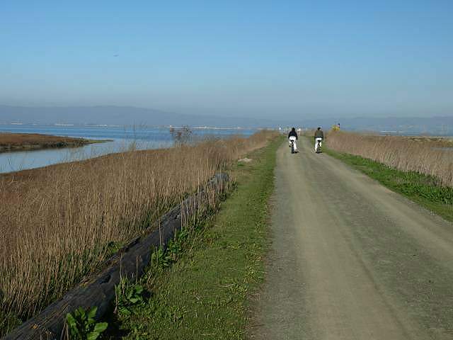 Approaching the mouth of Stevens Creek.  Small dock in the salt pond. The levee beyond is off-limits. It runs along the Bay to the Guadalupe Slough. 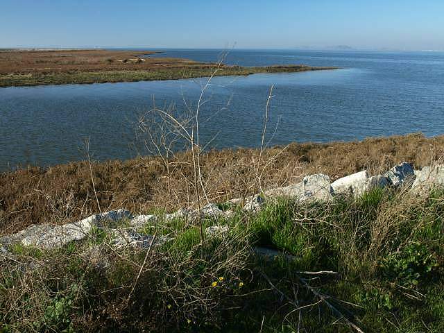 The mouth of Stevens Creek on San Francisco Bay. 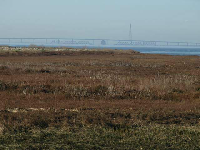 The Dumbarton Bridge and the abandoned Dumbarton train crossing can be seen in the Bay in the distance. Head back down the trail to the NASA bridge and continue on the west side of the creek. 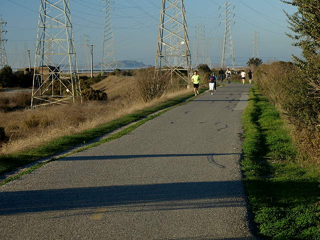 This is the trail just north of the Crittenden Lane entrance. 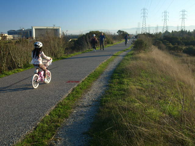 Looking back south on the trail towards NASA Ames. 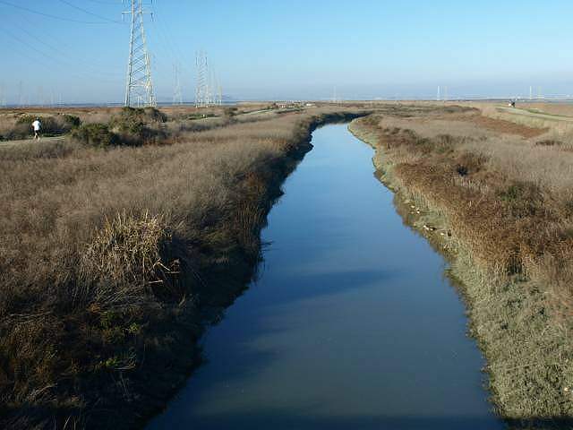 A steel bridge crosses the creek and leads to the unpaved levee road. This is a view of Stevens Creek from the bridge, looking downstream. 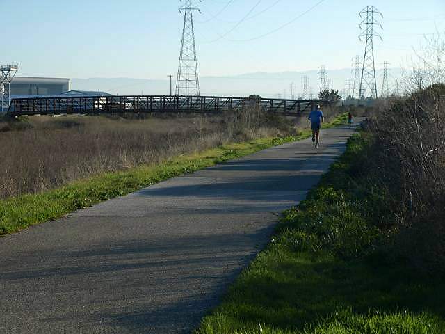 View of the steel pedestrian/bike bridge. 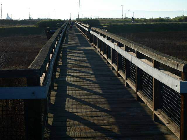 There is a wooden pedestrian-only bridge that crosses over the marsh to the west of the trail. 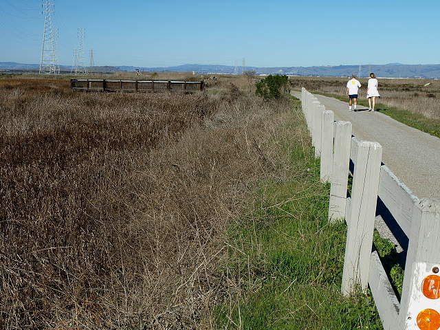 Along the trail, next to the marsh, a viewing platform is just ahead. 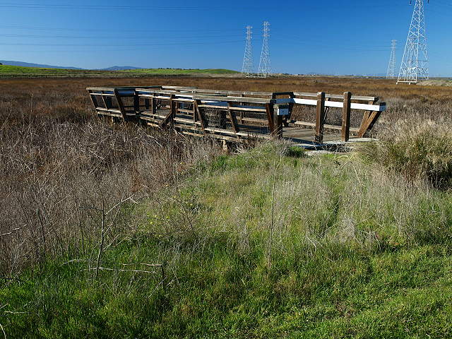 This viewing platform extends into the marsh. 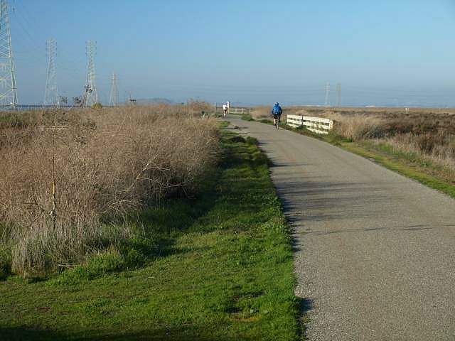 Ahead the trail crosses over an
inlet that lets water from Stevens Creek on the right enter the marsh
on the left.
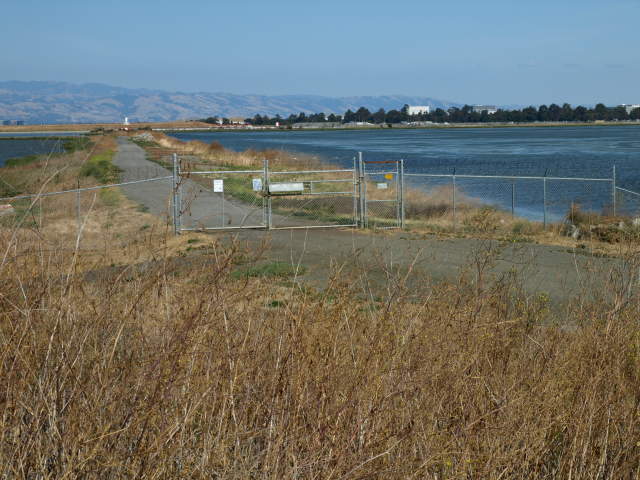
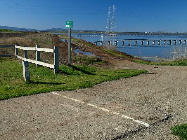 This is the official end of the
Stevens Creek Trail. While it is possible to cross over to the
west side of
the marsh along the salt pond shoreline, it is unpaved and may be
muddy. The levee ahead around the salt pond currently closed to the
public.
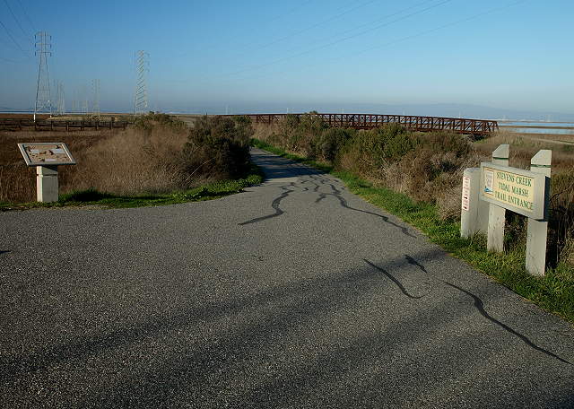 Backtrack along the trail, past the steel bridge, then head west at the next junction. 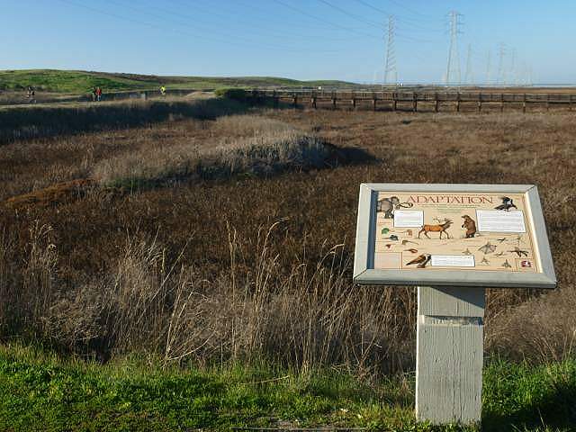 This interpretive sign is along the south edge of the Stevens Creek Tidal Marsh. The wooden bridge across the marsh can be seen ahead. 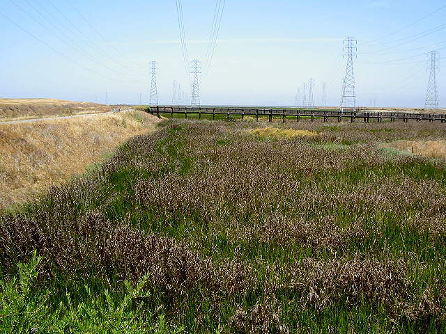 In the summer, the tidal marsh is green, while the grass along the trail is brown (7/5/07) 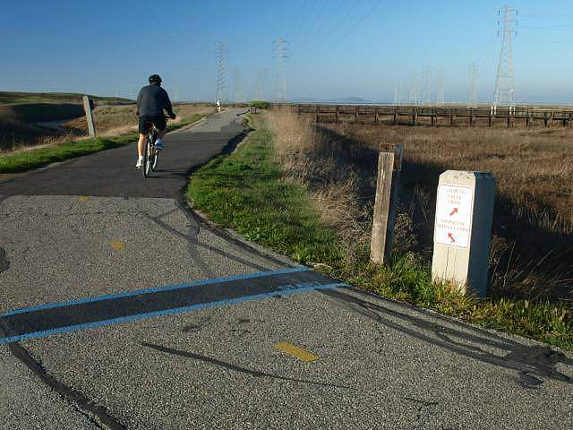 The trail leads the west side of the Stevens Creek Tidal Marsh. 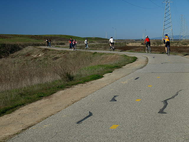 Bikes and skaters along the trail between the tidal marsh and a drainage channel. 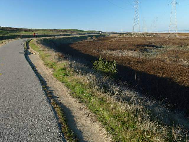 The trail runs along the marsh. To the left is a drainage channel and the hills of Shoreline Park. 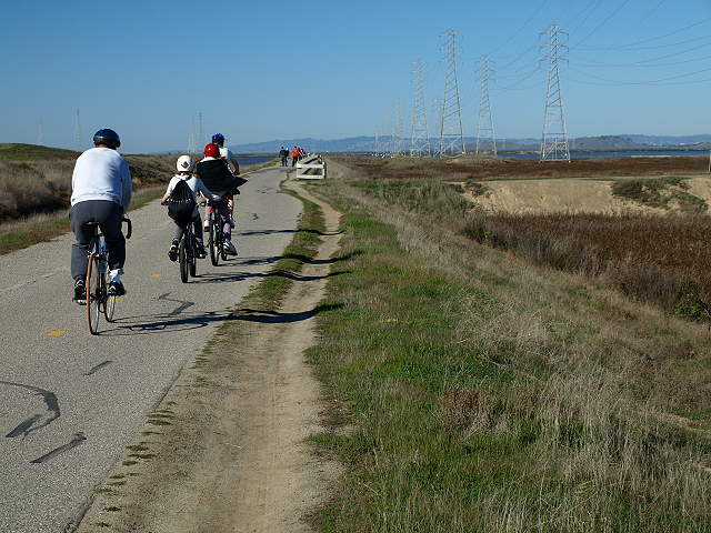 The small peninsula ahead in the marsh leads to the base of a power tower. 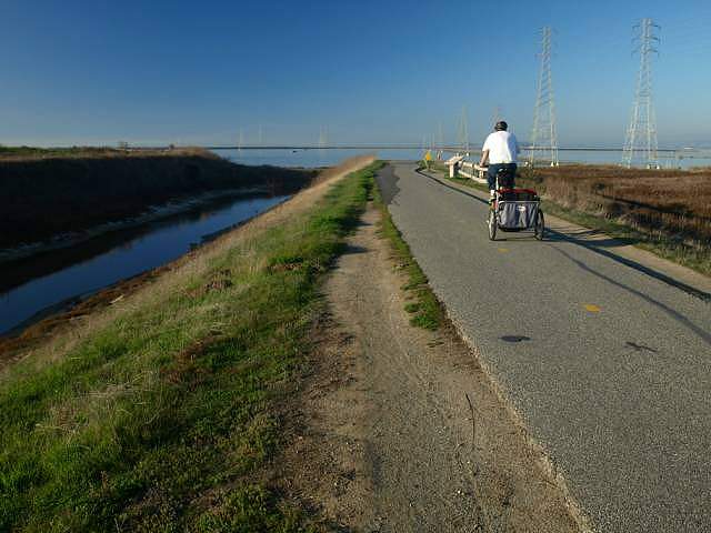 The trail appears to end at the salt pond ahead, but actually, the trail turns left and enters Shoreline Park. 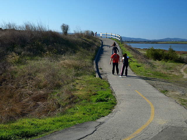 The trail dips down, then rises up a short distance to head into Shoreline Park. 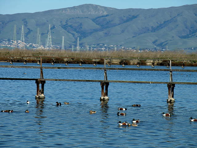 The salt ponds here are under the
jurisdiction of the US Fish & Wildlife Service. Catwalks lead to
the power towers and are off-limits. Here ducks swim in the pond below
a catwalk, with MIssion Peak in the background.
Continue to the tour of Shoreline Park |
|
Links
|