|
|
|
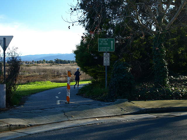
Access InformationThere are several ways to access Palo Alto Baylands Nature Preserve. The preserve is north of Hwy 101. The heart of the park can be reached from Embarcadero Road east. It can also be reached from the southeast from Shoreline at Mountain View Park. The tour below begins as a continuation of the Shoreline Park tour. To get to this point directly, take the San Antonio Road exit from Hwy 101 and head north. The road turns right at Terminal Blvd. Parking is available along Terminal Blvd. next to Coast Casey Forebay. Take the trail to the left and follow along the west bank of the forebay. At the trail junction, stay to the left and head up the dirt levee trail to Palo Alto Baylands. The tour will make a loop around the Palo Alto Baylands. It can be used to continue on to the part of the Palo Alto Baylands in East Palo Alto and Ravenswood Open Space Preserve to the northwest or Shoreline at Mountain View Park and the Stevens Creek Trail to the southeast. Another way to reach the Baylands from south of Hwy 101 is to
take the overpass by Oregon Expressway. It is located near the end of
Oregon Avenue, which runs parallel and along the northwest side of
Oregon Expressway. It leads to the Bay Trail between Faber Place and
East Bayshore Road.
|
|
Description and ViewsThe pictures below were taken at
different dates and times, as noted.
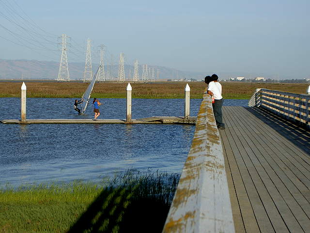
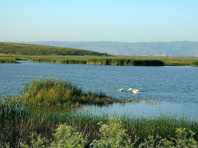
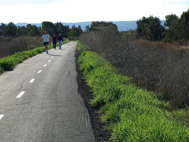
The trail begins along the levee between Adobe Creek in the Palo Alto Baylands and Charleston Slough in Shoreline at Mountain View Park. 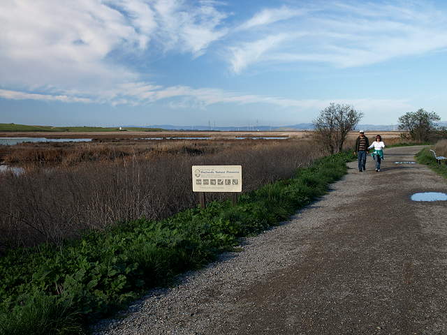 The start of the Baylands trail at the west end of Shoreline Park, 2/7/09 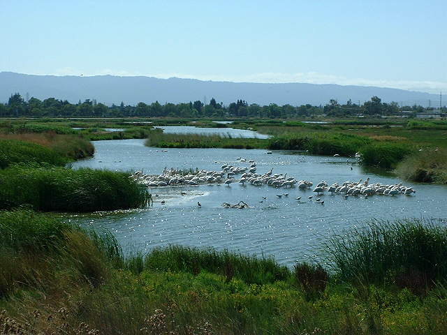 Pelicans in the wetlands of Adobe Creek, with the South Flood Control Basin in the background, 7/21/02 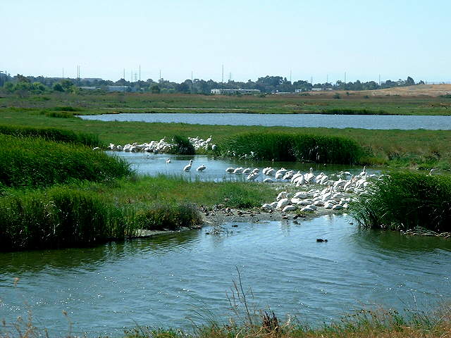 Pelicans in the Adobe Creek wetlands, 7/21/02 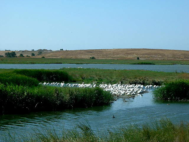 Pelicans in Adobe Creek, with Byxbee Park and the landfill hills in the background 7/21/02 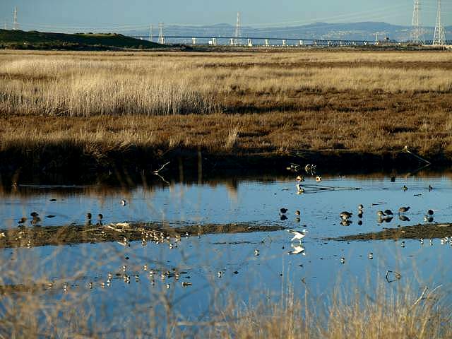 Birds in Adobe Creek, with the Byxbee Park hills and the Dumbarton Bridge in the background, 2/1/09. 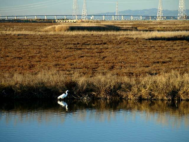 Egret in Adobe Creek, with the Dumbarton Bridge in the background, 2/1/09. 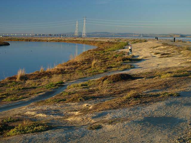 Hikers on the Adobe Creek Loop Trail by the Adobe Creek Flood Control Basin, 2/1/09 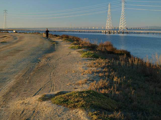 The Baylands Trail reaches San Francisco Bay, 2/1/09 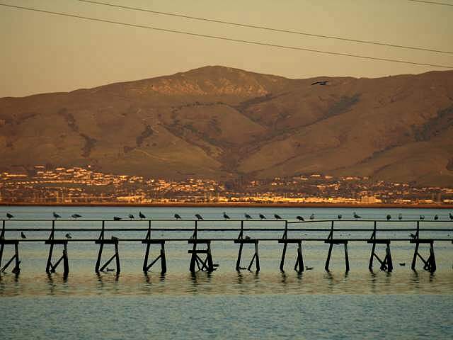 Birds on a catwalk on the Bay, 2/1/09. 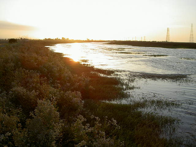 Sunset on the channel by Hooks Island 6/10/07 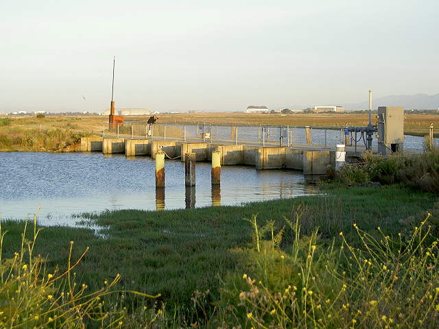 Tidal Dam on the Flood Control Basin, 6/10/07 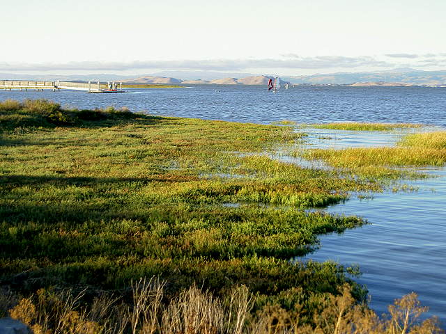 Looking towards the mouth of the Palo Alto Yacht Harbor and the Sailing Station from near the dam, 9/3/07. 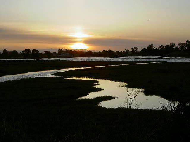 Sunset over the former Palo Alto Yacht Harbor, now a restored marsh, 6/10/07 The trail reaches the hills of
Byxbee Park. These hills are a retired landfill, next to a still-active
landfill. What is unique about the park is its earthworks and
environmental art. According to the plaque at the park, "The design of
Byxbee Park is the result of a collaboration between the City of Palo
Alto, landscape architects Hargreaves Associates, and artists Michael
Oppenheimer and Peter Richards. The project was funded in part by the
City of Palo Alto refuse collection fees and the Public Art
Commission's Art in Public Places program."
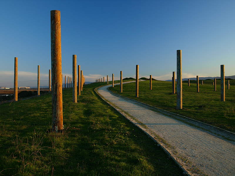
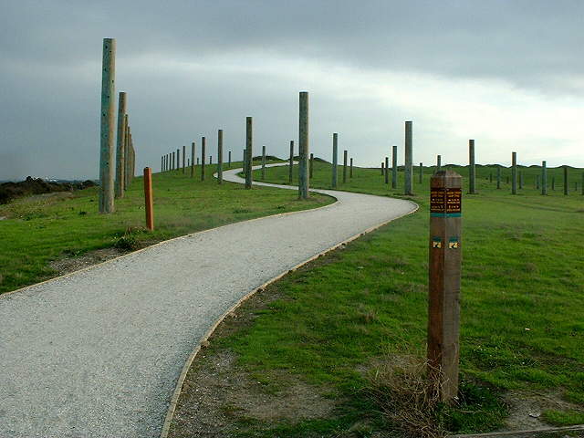 Byxbee Park pole field, the paths are covered with crushed oyster shells, 11/23/02 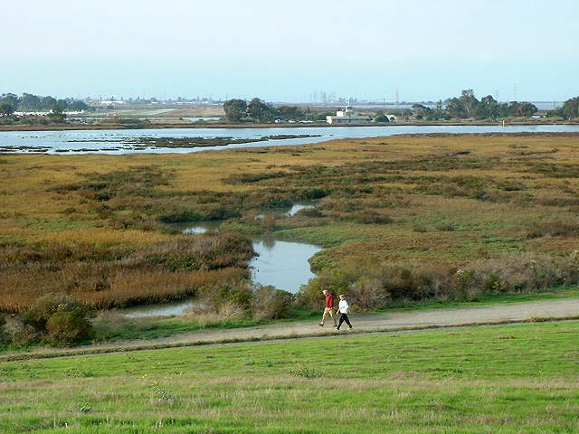 View of the former Palo Alto Yacht Harbor from the Byxbee Park hills, 11/23/02 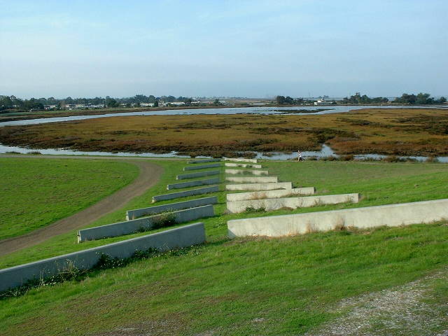 View from the Byxbee Park hills of the chevrons, made of concrete road barriers, pointing to the Palo Alto Airport runway, 11/23/02 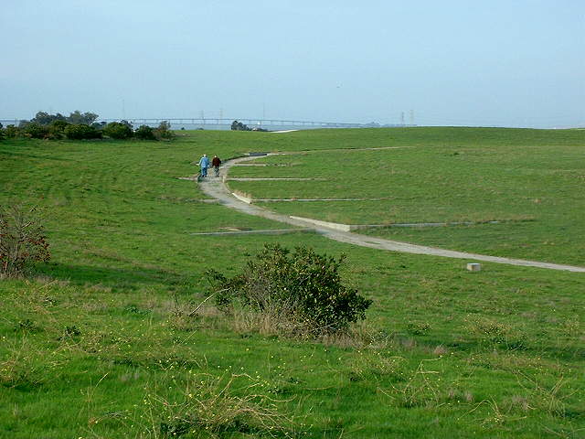 Path on top of the Byxbee Park hills through low retaining walls, called the Alluvial Fans, 11/23/02 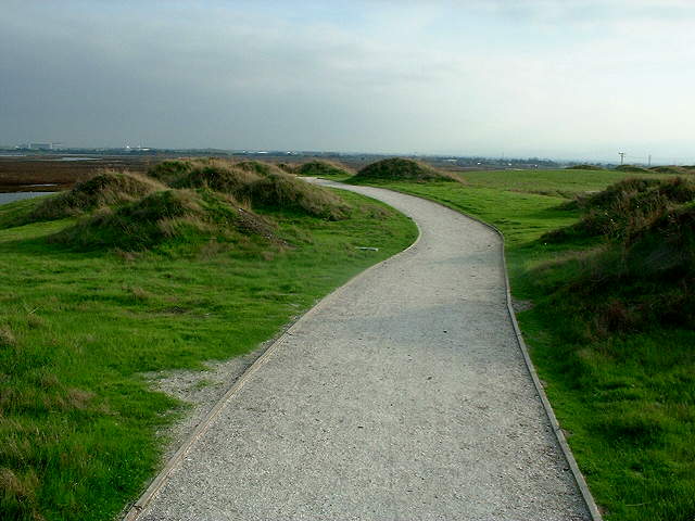 Hillocks on top of the Byxbee Park hills, inspired by Indian shell mounds, 11/23/02 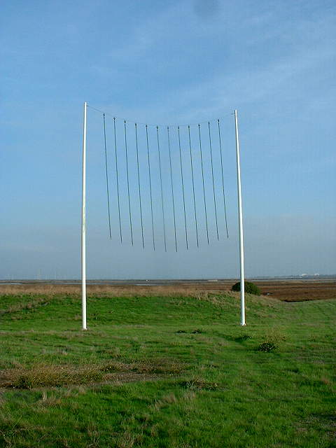 "Wind Wave Piece" sculpture on top of the Byxbee Park hills, 11/23/02 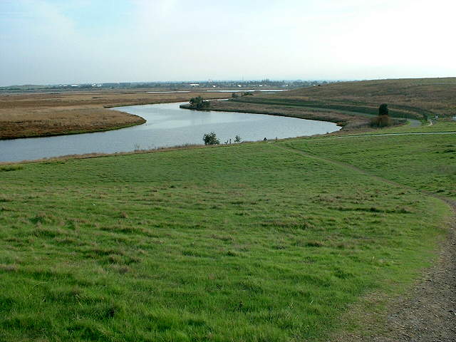 View of Mayfield Slough from the top of the Byxbee Park hills, 11/23/02 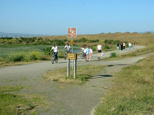 Trail below the Byxbee Park hills, 5/18/03 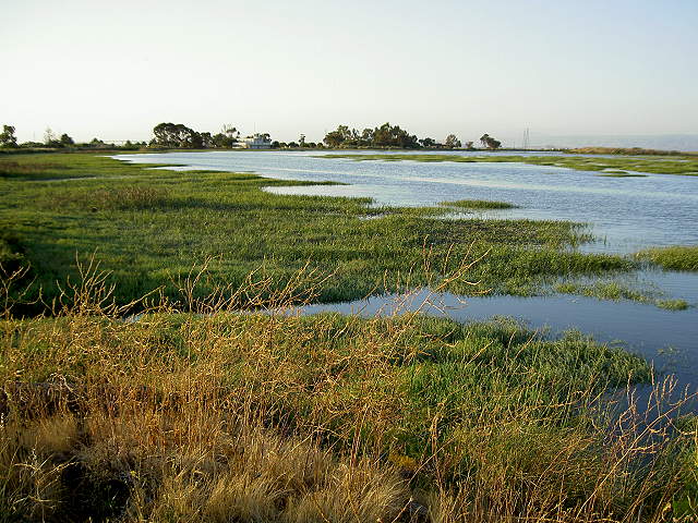 The Palo Alto Yacht Harbor Basin at high tide, with the former Sea Scouts building in the background, 6/10/07 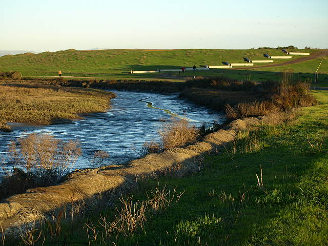 The Harbor Basin at low tide, with the Byxbee Park chevrons on the hill, 2/7/09 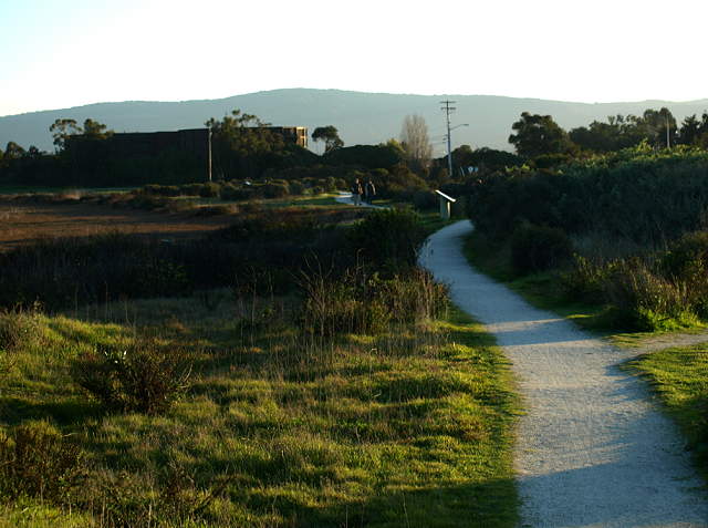 The Marsh Front Trail with interpretive signs along the edge of the Yacht Harbor Basin, with the water treatment plant in the backround, 2/7/09 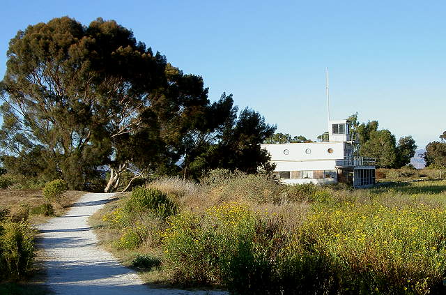 This is what the Marsh Front Trail and the Sea Scouts building looked like on 9/3/07 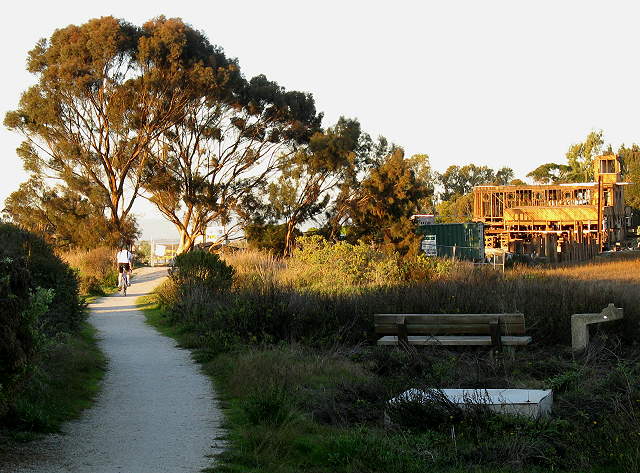 Trail leading past the former Sea Scouts building, now being renovated, 2/7/09 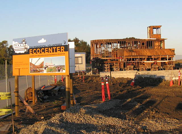 The old Sea Scouts building is being converted into an environmental education center, scheduled for 2009, 2/7/09 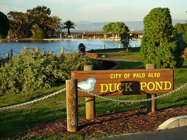 The Palo Alto Duck Pond, 2/7/09 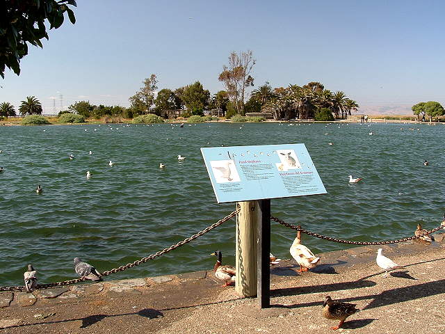 The Duck Pond, 5/27/07 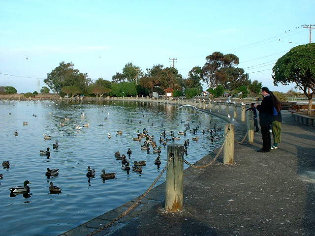 The Duck Pond, 11/23/02 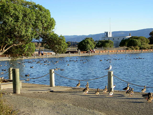 The Duck Pond, with the old Sea Scouts building in the background, 9/03/07 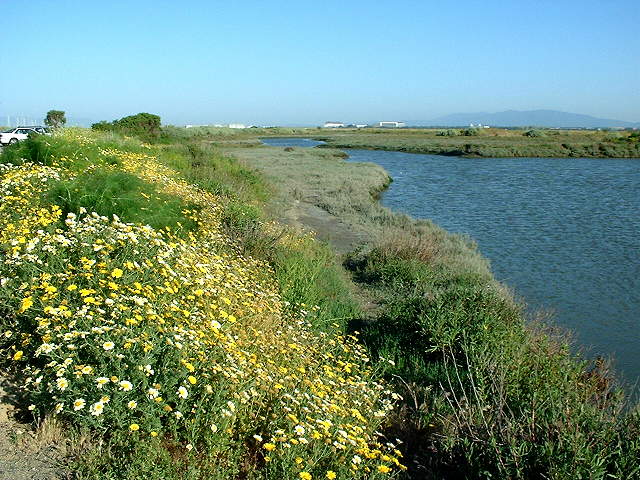 The north side of the Palo Alto Yacht Harbor Basin, 5/18/03 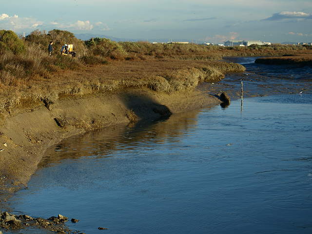 Painters along the Yacht Harbor Basin at low tide, 2/7/09 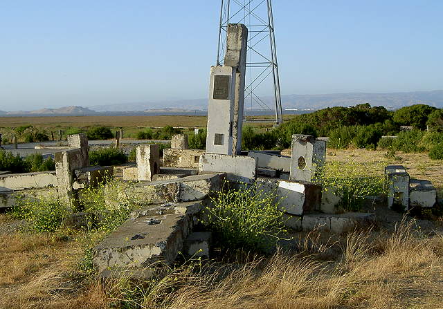 Sculpture in parking lot by the
Sailing Station, made from concrete dock blocks. The sculpture,
called "The Point," by Richard F. Shirley and John M. Kennedy, was
dedicated
in 1980 "to the beauty and poetry of the Baylands." On it is a plaque
with
a poem on the Baylands by Tom Walker. 6/10/07
 The pier and dock at the Sailing Station, 6/10/07 The trail ends here. Backtrack to the Nature Center. 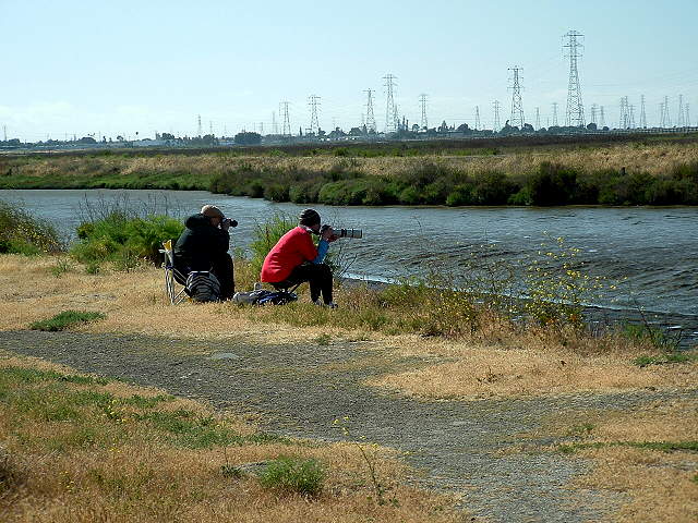 Birdwatchers by the tidal lagoon across from the Nature Center, 5/27/07 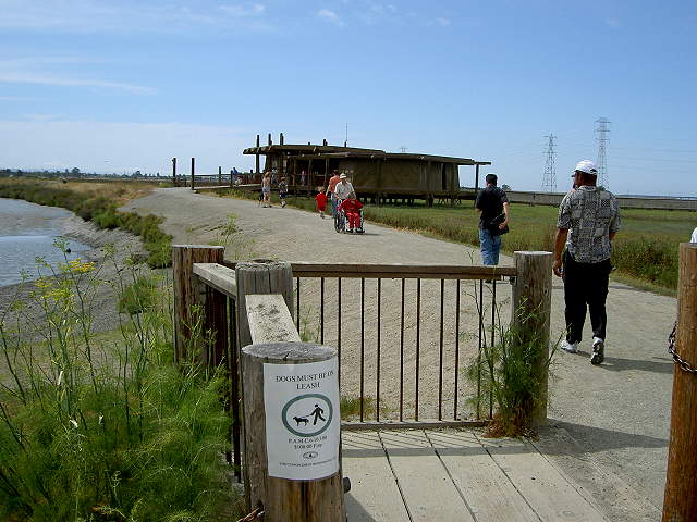 Start of the San Francisquito Creek Trail leading to the Lucy Evans Baylands Nature Interpretive Center, 6/10/07 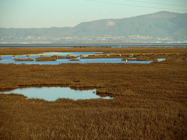 The Harriet Mundy Marsh east of the Nature Center. The pickleweed marsh is a home for the endangered clapper rail and salt marsh harvest mouse. 2/7/09 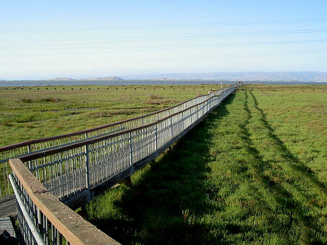 Boardwalk from the Nature Center to the Bay, 6/10/07 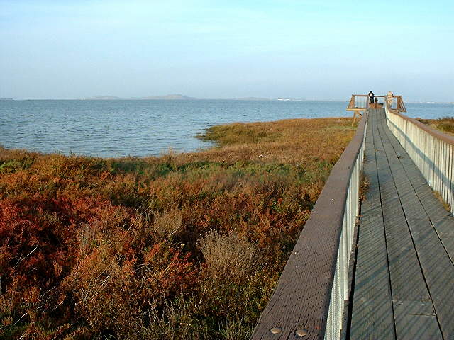 The boardwalk near the Bay in the late fall, when the pickleweed is red and brown, 11/23/02 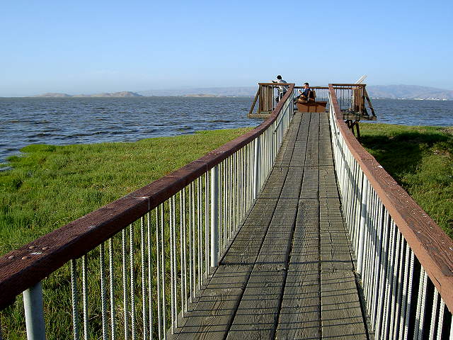 The boardwalk near the bay in the summer, when the pickleweed is green, 6/10/07 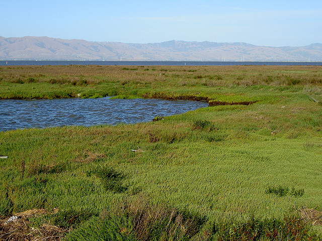 The shoreline on San Francisco Bay beyond the boardwalk, 6/10/07  Looking back along the boardwalk towards the Nature Center, 6/10/07 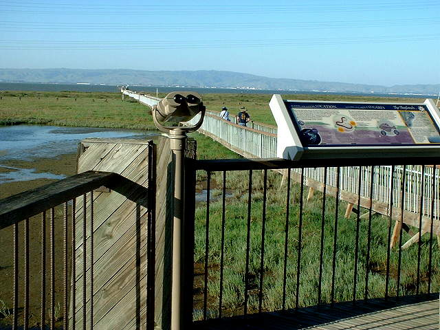 Binoculars and interpretive signs at the Nature Center, near the boardwalk entrance, 5/18/03 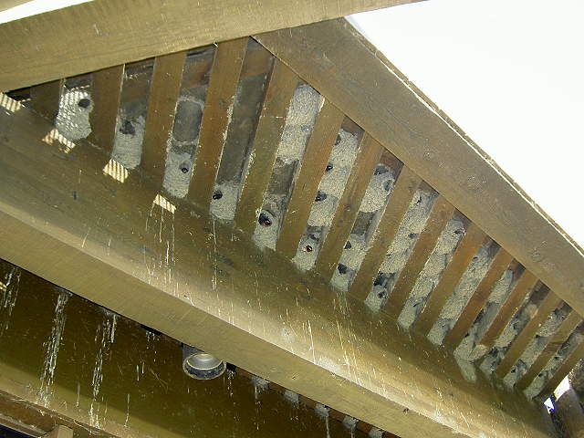 Swallows' nests in the eaves of the Nature Center, 6/10/07 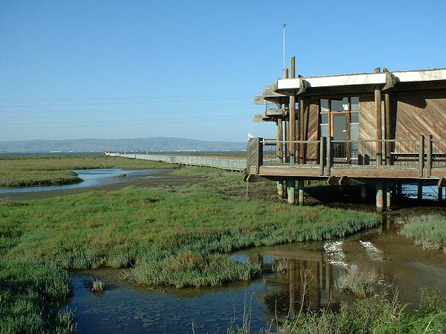 The Nature Center and boardwalk perched on piers over the Harriet Mundy Marsh, 5/13/03 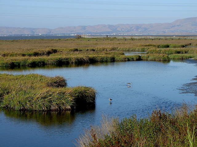 Birds in the Harriet Mundy Marsh west of the Nature Center, 6/10/07 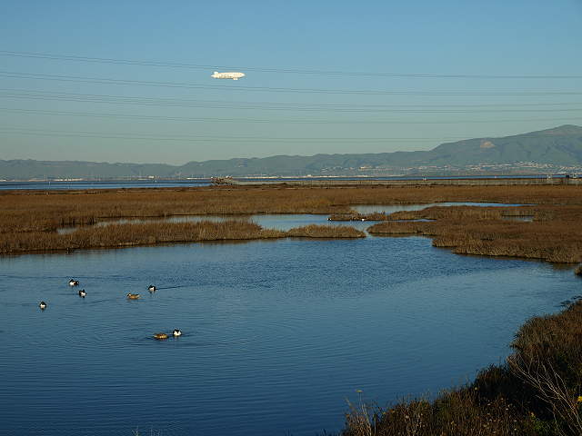 An airship floats over the Bay, past the end of the boardwalk, 2/7/09 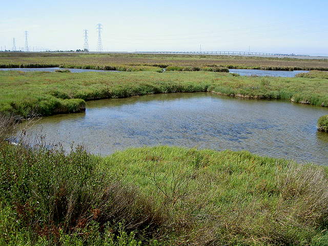 The Harriet Mundy Marsh and the Dumbarton Bridge, 6/10/07 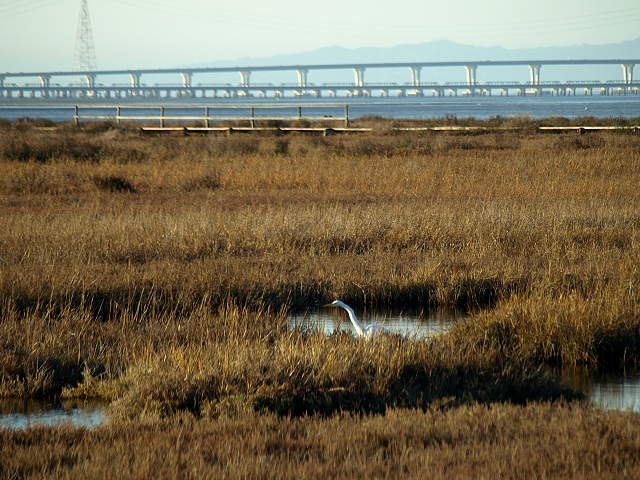 A great egret feeding in the marsh, 2/7/09 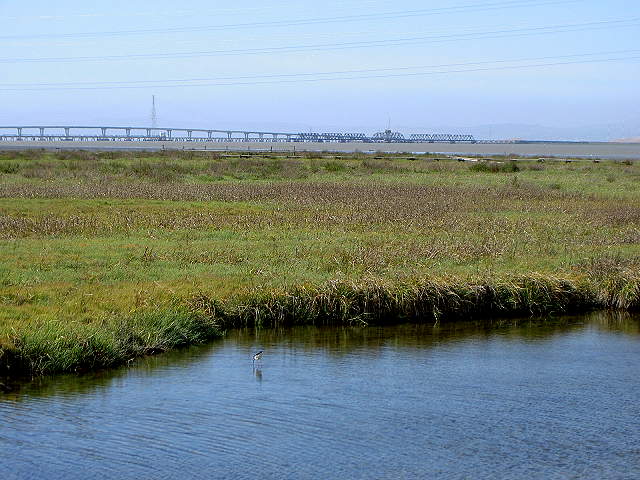 The Harriet Mundy Marsh and the Dumbarton Bridge and train crossing, 6/10/07 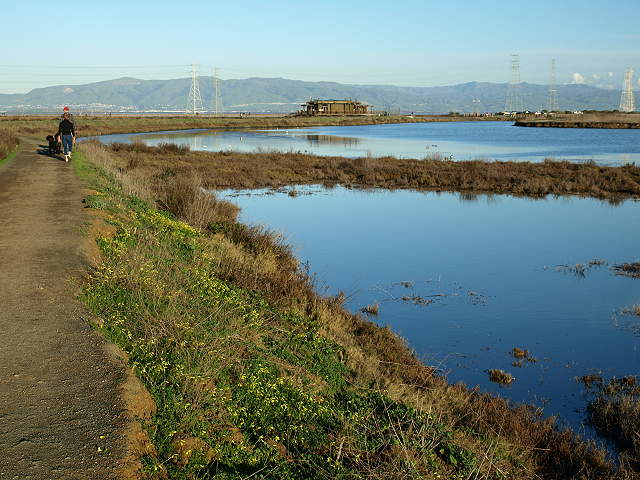 The trail along the lagoon and the Nature Center, 2/7/09 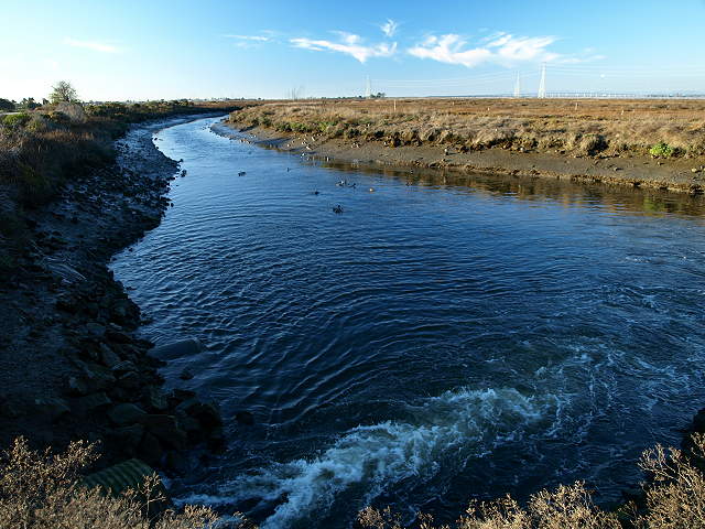 The trail turns and runs between the airport and a channel carrying the outfall from the water treatment plant, 2/7/09 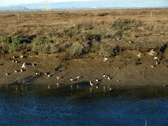 Birds on the bank of the outfall channel, 2/7/09 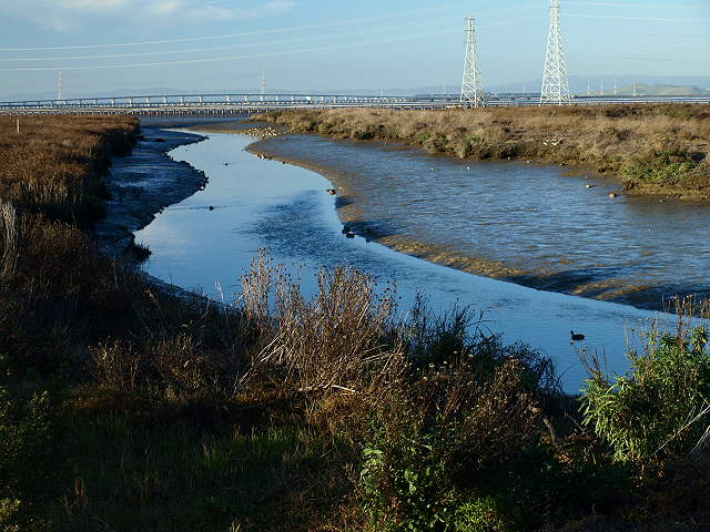 Outfall channel to the Bay at low tide, 2/7/09 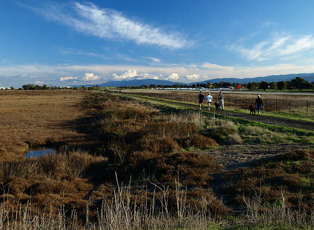 Looking back at the trail between the marsh and the airport, 2/7/09 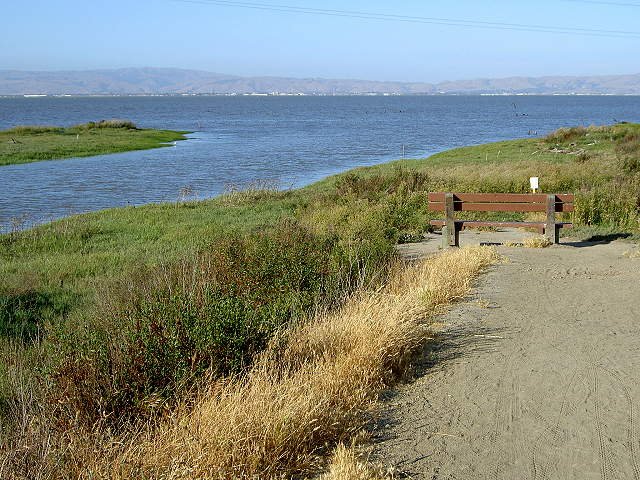 Mouth of San Francisquito Creek at high tide, 6/10/07 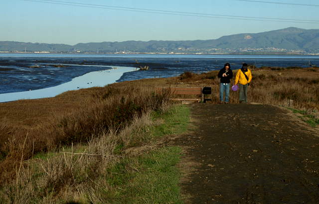 Mouth of San Francisquito Creek at low tide, 2/7/09 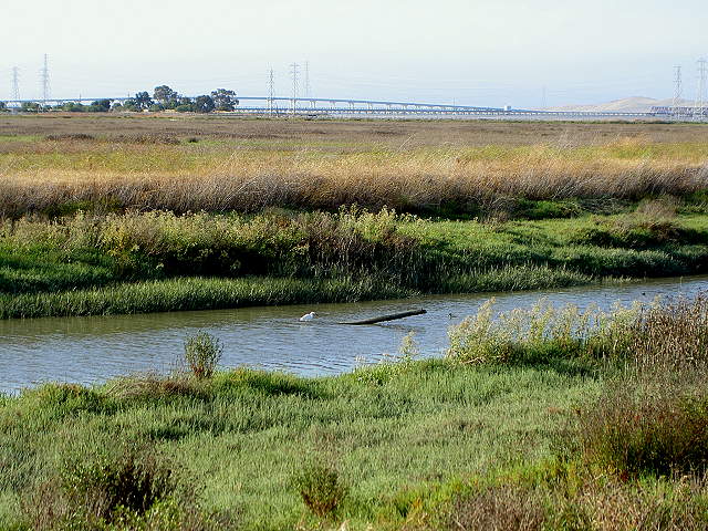 San Francisquito Creek across from the Ravenswood Open Space Preserve, 6/10/07 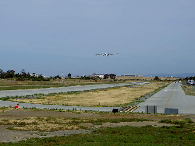 The Palo Alto Airport runway from the San Francisquito Creek Trail, 6/10/07 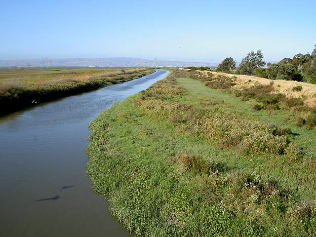 San Francisquito Creek from the trail bridge to Ravenswood, 6/10/07 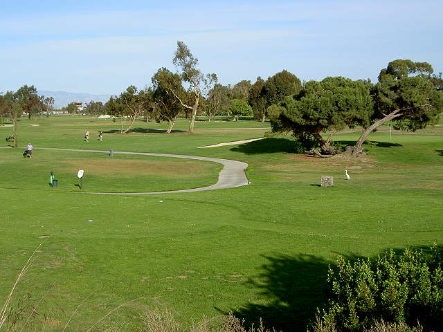 The Palo Alto Municipal Golf Course from the San Francisquito Creek Trail, 6/10/07 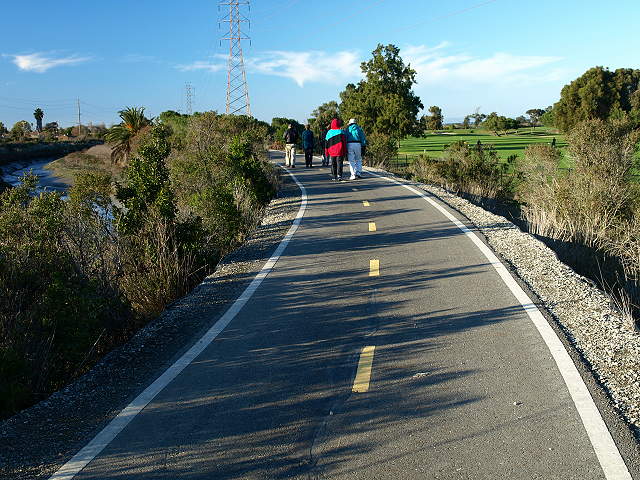 Paved San Francisquito Creek Trail between San Francisquito Creek and the golf course, 2/7/09 For more on this section of trail,
see the Ravenswood Bay Trail
page. The off-road trail ends at the Baylands Athletic Center. From
there,
go through the parking lot of the Athletic Center to Geng Road. Take
Geng Road to Embarcadero Road. Cross Embarcadero Road and head to the
left. You can continue on Embarcadero Road past the Airport to reach
the start of the San Francisquito Creek Trail to make it a loop. To
contine on the Bay Trail back to Shoreline Park, turn right on Faber
Place. Continue to the end of the road.
 Trail entry at Faber Place, along the edge of the Renzel Wetlands, 2/7/09 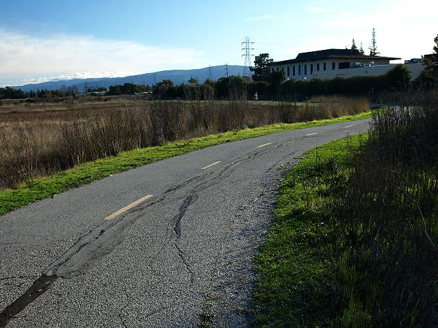 Trail along the marsh from Faber Place to East Bayshore Road, 2/7/09 At East Bayshore Road, the trail
turns left to follow along the road. To the right, a short distance
down the road is the pedestrian overpass over Hwy 101 to Oregon Avenue
by Oregon Expressway. A dead-end access road leads to the radio station
in the middle of the marsh.
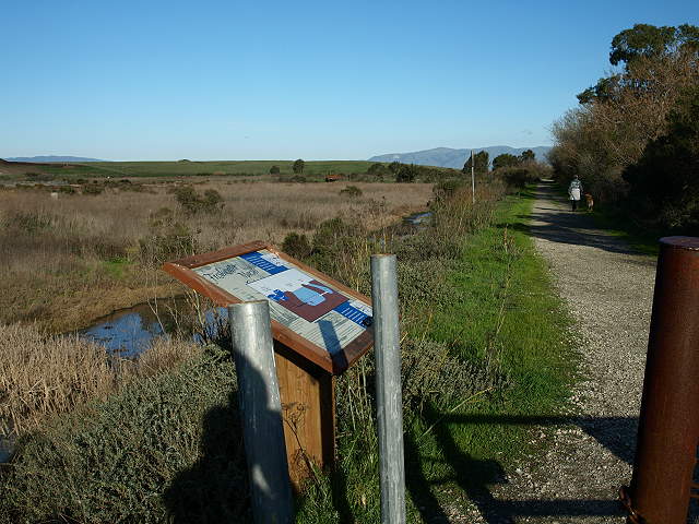
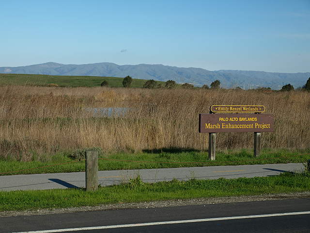 Sign by the Emily Renzel Wetlands along the Bay Trail, 2/7/09 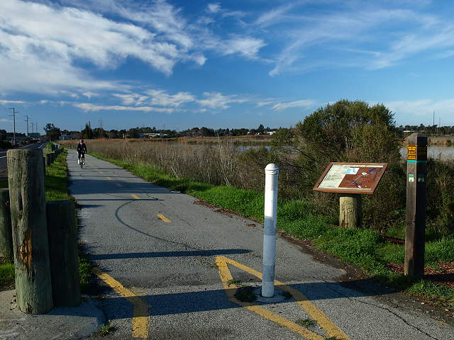 The Renzel Trail, part of the Bay Trail, along the Emily Renzel Marsh, 2/7/09 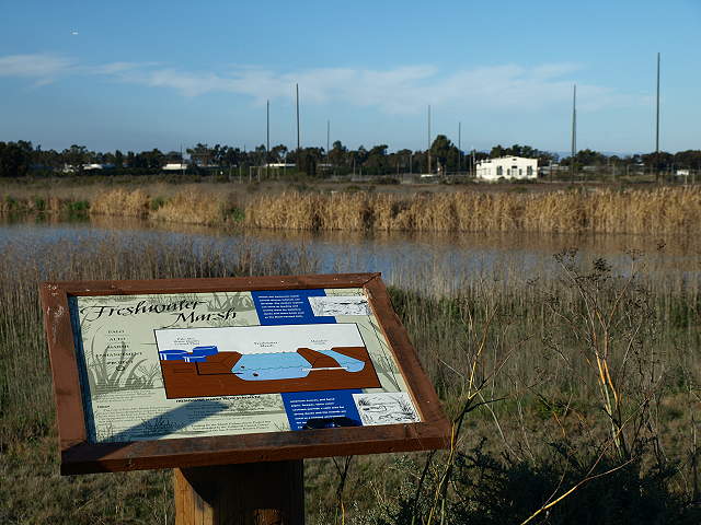 The marsh interpretive sign, explaining the water drainage in the marsh, with the old radio station in the background, 2/7/09 Past here, the paved Bay Trail is
joined by the gravel Adobe Creek Loop Trail. This part of the Adobe
Creek Loop Trail begins near Byxbee Park and is shown below.
 The Adobe Creek Loop Trail between the Emily Renzel Wetlands (left) and Matadero Creek (right), 2/7/09. East of here, the paved Bay Trail becomes part of the Adobe Creek Loop Trail. 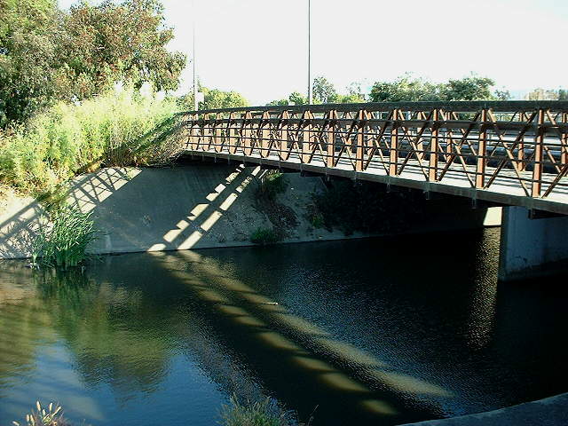 The Bay Trail crosses over Matadero Creek on this bridge, 7/21/02 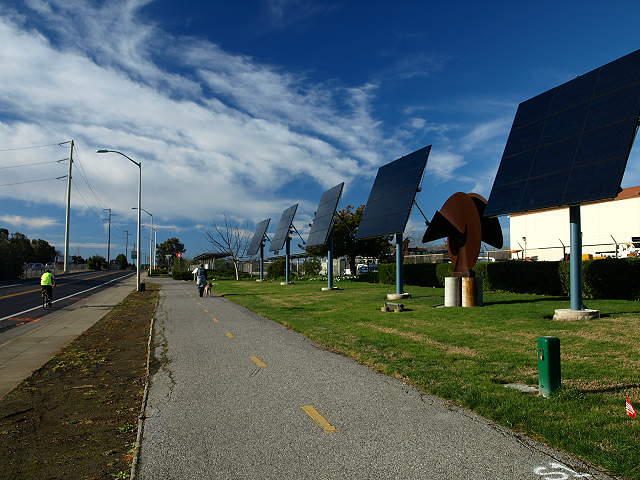 Looking north: East Bayshore Road, the Bay Trail, solar panels, and sculpture by the Palo Alto Municipal Service Center, 2/7/09 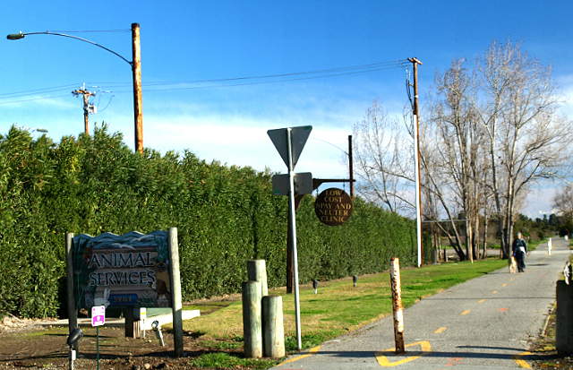 South of the service yard, the trail runs past the Palo Alto Animal Services Center, 2/7/09 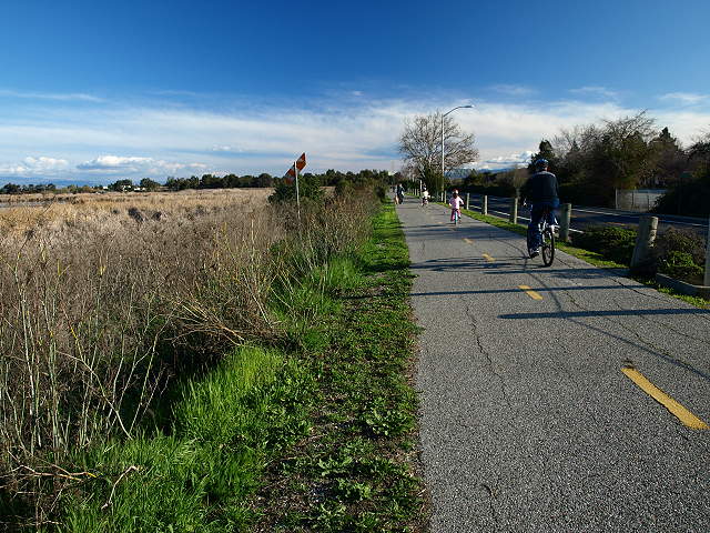 The Bay Trail passing by the North Flood Control Basin, 2/7/09 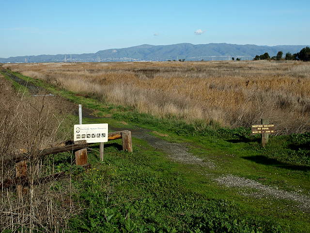 A spur trail runs through the
middle of the Flood Control Basin, separating the ponds into the North
and South parts. There is a parking lot along East Bayshore Road here,
2/7/09.
 Pelicans in the North Flood Control Basin, 5/18/03 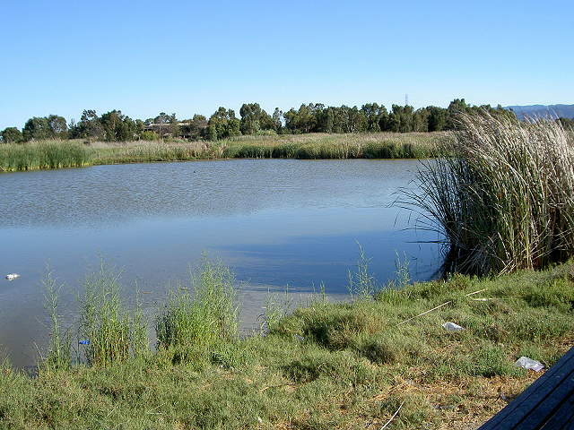 The South Flood Control Basin, with Adobe Creek behind it, 9/3/07 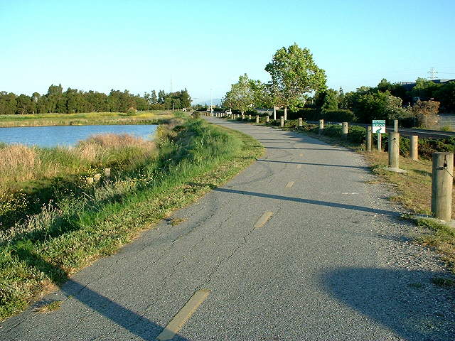 The Adobe Creek Loop Trail along the South Flood Control Basin, heading towards Adobe Creek, 5/18/03 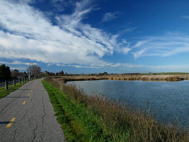 Looking back north on the Bay Trail at the South Flood Control Basin pond, 2/7/09. After the Flood Control Basin
ponds, the Bay Trail crosses over a
bridge across Adobe Creek, near East Bayshore Road. After the bridge,
the
trail makes a sharp left turn inland. There is a concrete seasonal
undercrossing that goes under East Bayshore Road and Hwy 101 to West
Bayshore Road. The undercrossing is open from April 15 to October 15.
It is dedicated to Benjamin Lefkowitz, a bicycle advocate.
 The Adobe Creek Trail passing by
the Lefkowitz Underpass (closed in winter), 2/7/09.
 The Adobe Creek Loop Trail returning to Shoreline Park, 2/7/09 An alternate route back is to take the Adobe Creek Loop Trail along Mayfield Slough and Matadero Creek starting at the Byxbee Park Pole Field: 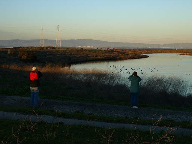 Birdwatchers and Mayfield Slough, 2/7/09 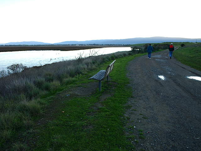 On the trail along Mayfield Slough, with Byxbee Park on the right, 2/7/09 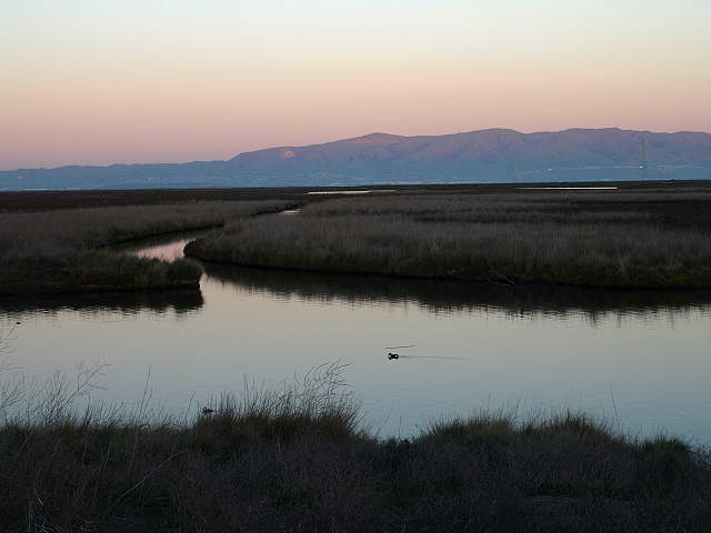 Overlooking Mayfield Slough at sunset, 2/7/09 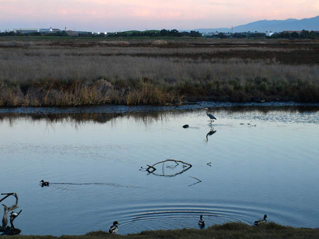 Great egret on Mayfield Slough, 2/7/09 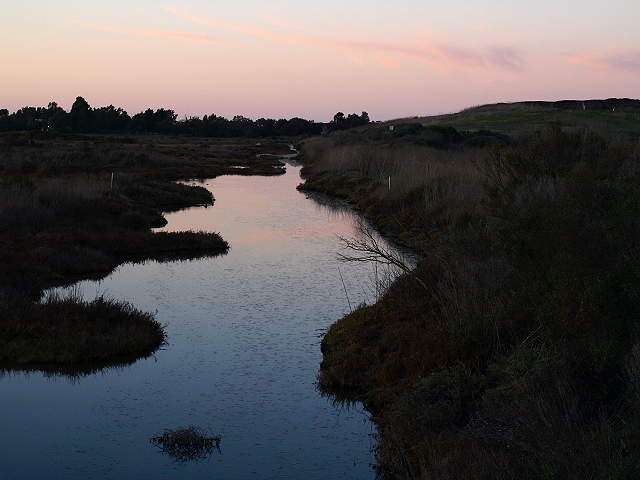 Channel in the Renzel wetlands at sunset, 2/7/09 The trail continues along Matadero Creek and intersects the paved Bay Trail along East Bayshore Road, leading back to Shoreline Park. |
|
Links
|