Links
Stanford University
Pictures of Stanford University
Stanford Dish Area
Stanford Maps
California College Tours
Stanford Shopping Center
Stanford Dish Area
SRI Antenna Facility
Barron Park Association
Bol Park Donkeys
Juana Briones Heritage
Esther Clark Park
Arastradero Preserve
Bay Area Back Pages
SF Bay Rec & Travel
Bay Trails, South Bay
Bay Trail, Palo Alto
Bay Area Parks
Stanford University Neighborhood and Surrounding Areas
Below are pictures of some of the
areas surrounding Stanford University, with an emphasis on parks and
trails.
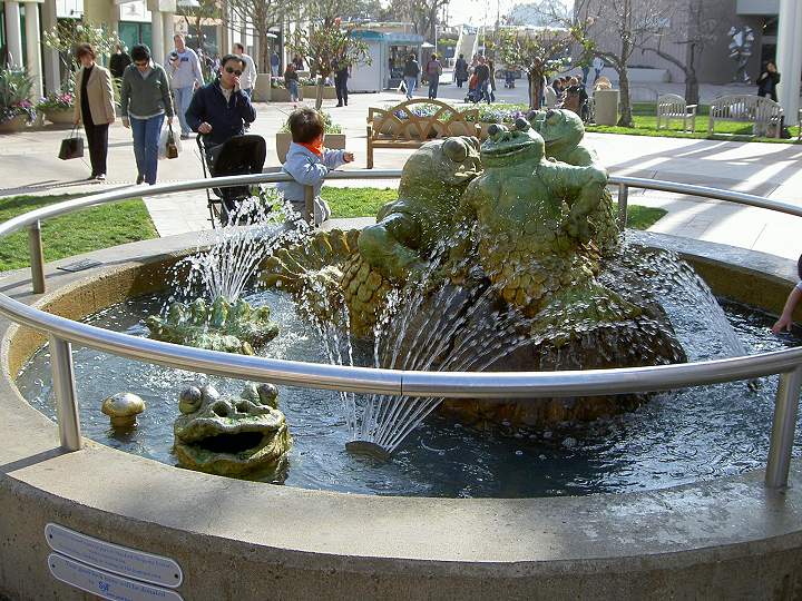
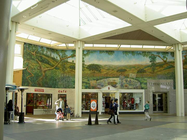
Stanford Shopping CenterNext to Stanford University is
Stanford Shopping Center. It is an upscale outdoor shopping mall, with
anchor stores Macy's, Nordstrom, Bloomingdale's, and Neiman Marcus. It
has 140 other stores and restaurants. It was built in 1954 by Stanford
University on land that was once Leland Stanford's vineyards. The
university sold the center to a management company, but still owns the
land underneath it and receives a portion of the center's profits.

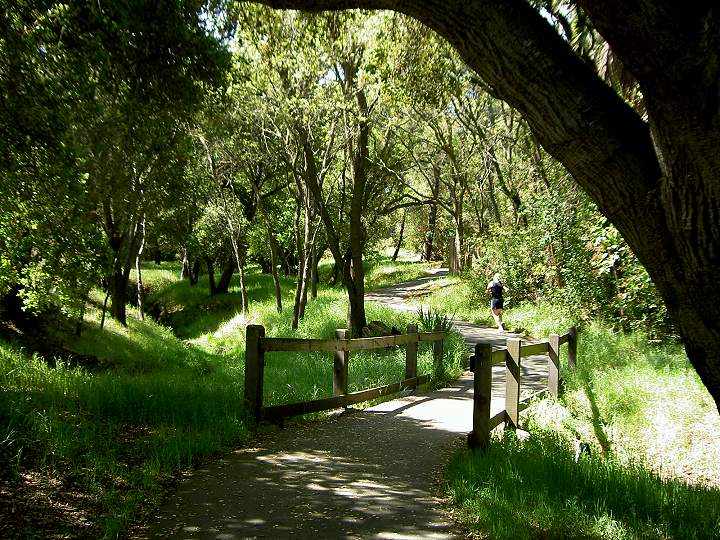
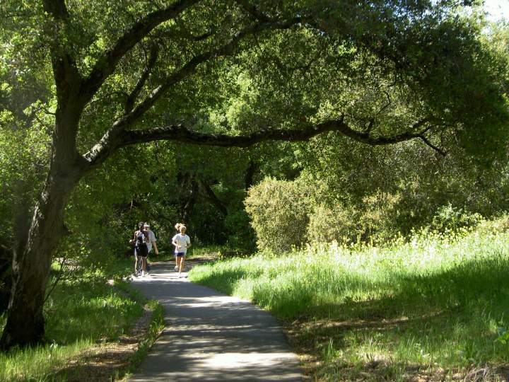
Stanford Neighborhood Trails
Below are pictures of neighborhood
trails between Stanford Avenue, Page Mill Road, and Junipero Serra
Blvd.
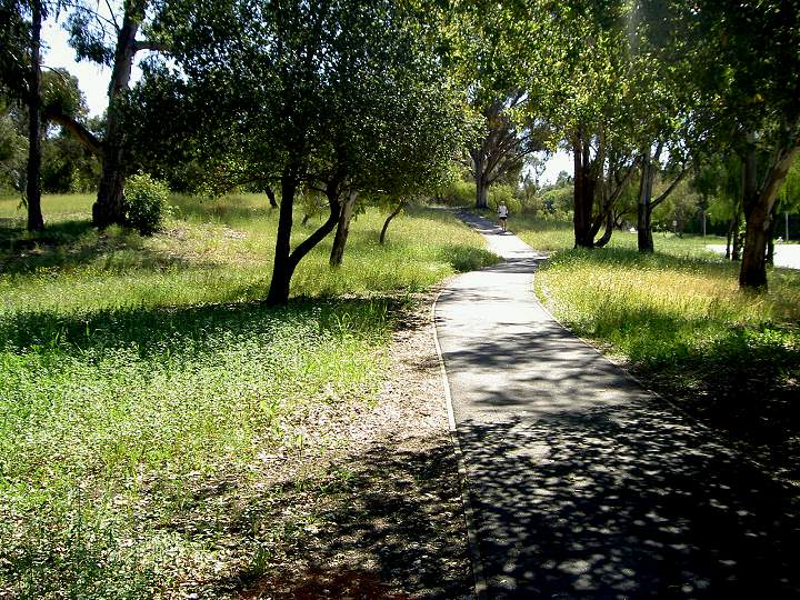
Trail along Stanford Avenue
Stanford Avenue trail
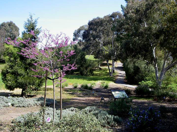
Trail along Raimundo Way
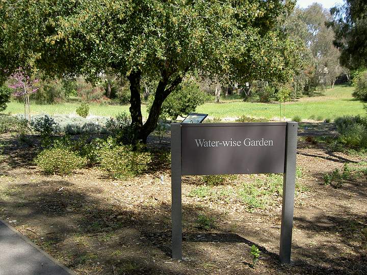
Water-wise Garden by Raimundo Way
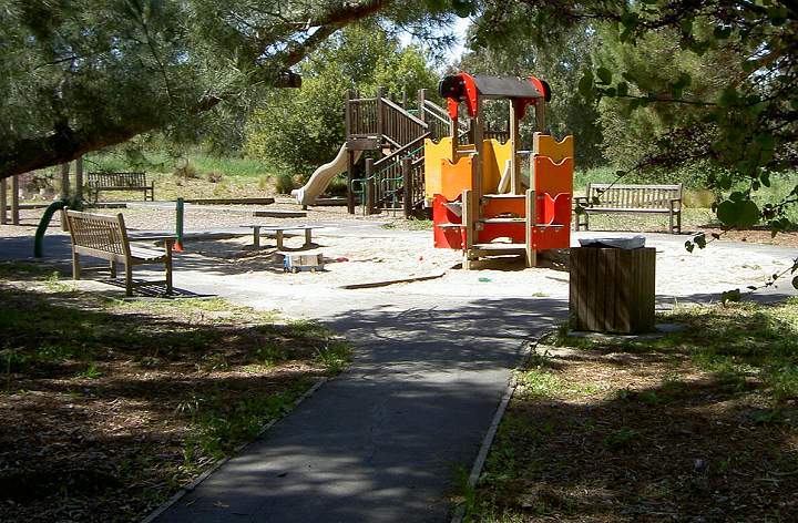
Neighborhood playground
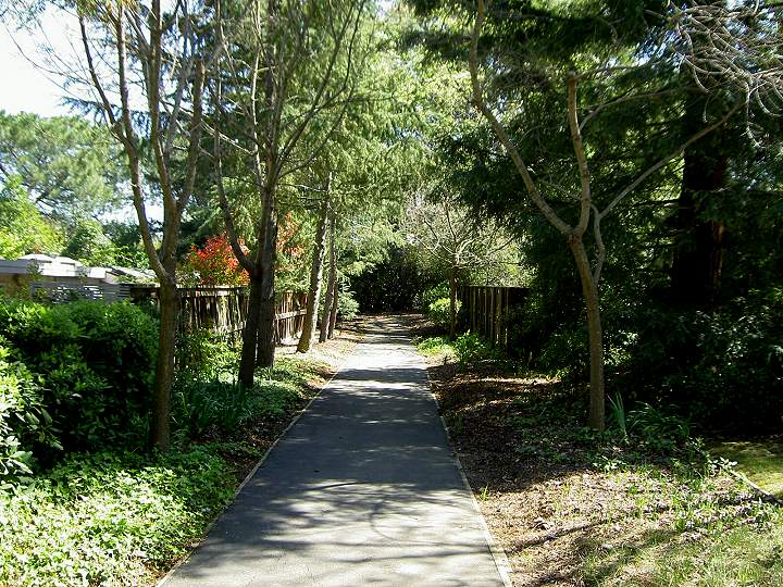
Dirt trail along Page Mill Road
Sound wall and planters along Page Mill Road and Junipero Serra Blvd.
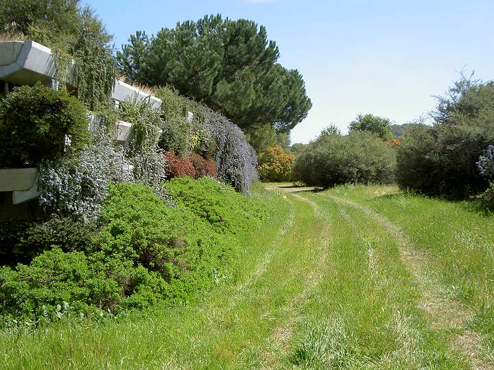
Trail along the wall at the corner of Page Mill Rd. and Junipero Serra Blvd.
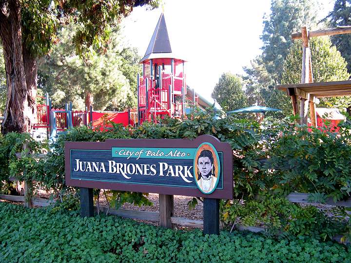
Juana Briones Park on Arastradero
Road, Maybell Ave., and Clemo Ave. The park honors Juana Briones de
Miranda, who owned and managed a 4000 acre ranch in this area in the
1840's. There is a plaque here that tells the story of her life.
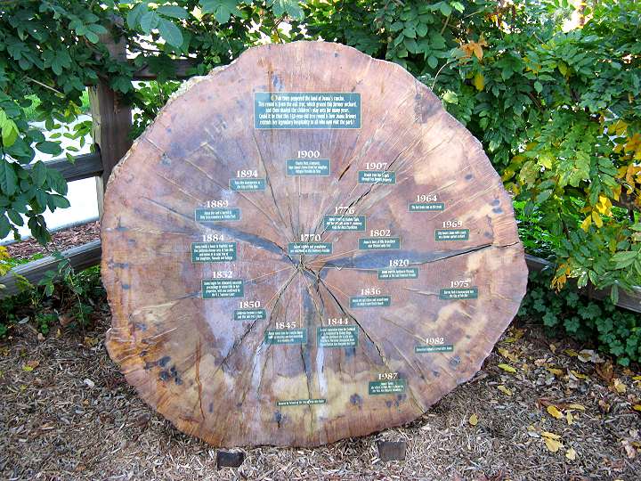
This is a cross-section of a
150-year-old oak tree that grew on Juana Briones' property. Year
markers point to tree rings signifying significant milestones in Juana
Briones' life and ranch.
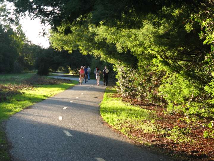
The trail from Bol Park to Hanover Street.
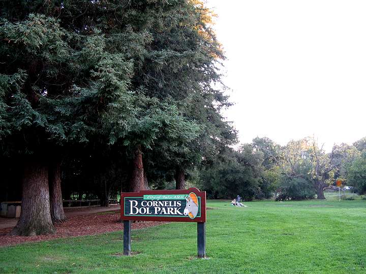
In Palo Alto's Barron Park
neighborhood is Cornelis Bol Park, named after the former owner of the
property. He was a Stanford professor and inventor of the mercury vapor
light. The land was once a donkey pasture. Children were given rides on
the donkeys. After Cornelis Bol died, the land was purchased by the
residents of Barron Park through a bond issue and turned into this
park.
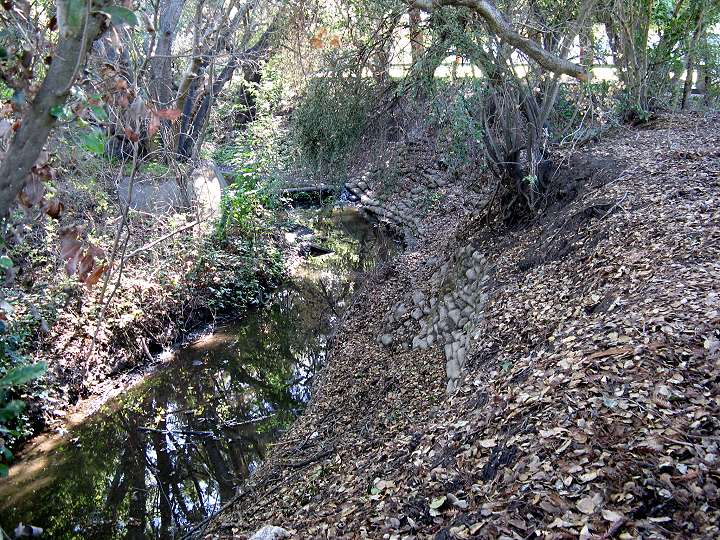
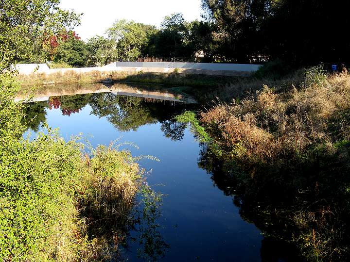
Matadero Creek flows along the east edge of Bol Park.
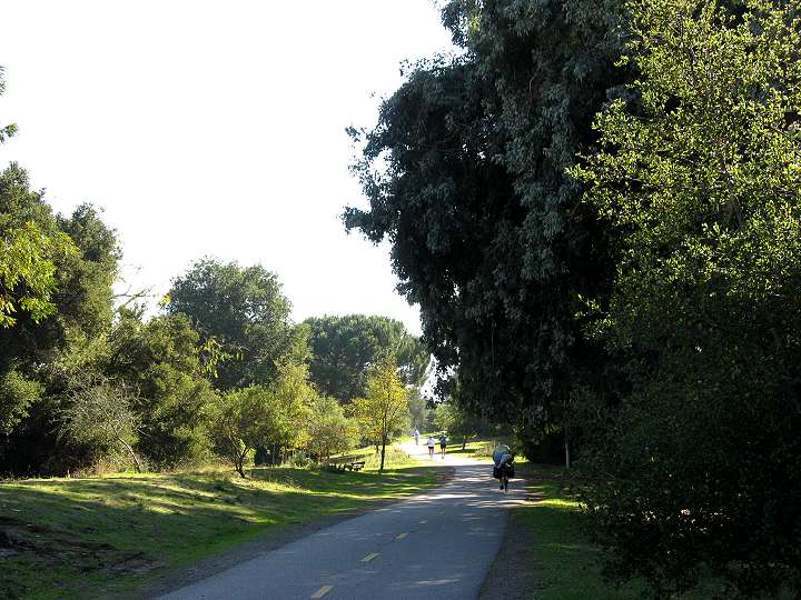
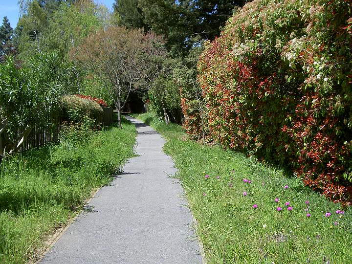
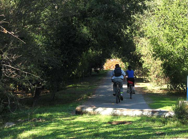
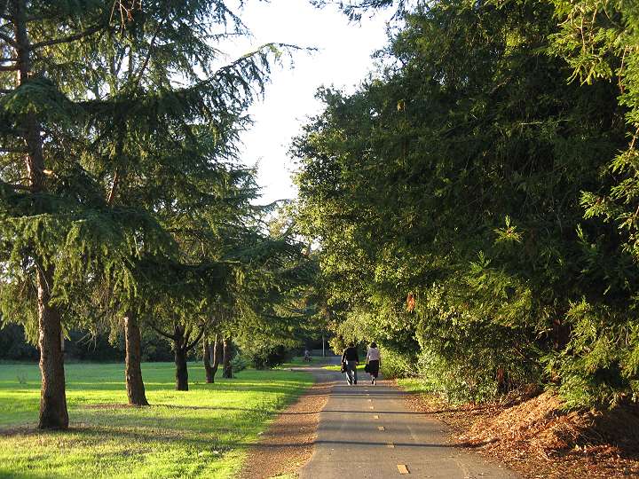
A paved bike path runs along the southwest edge of Bol Park.
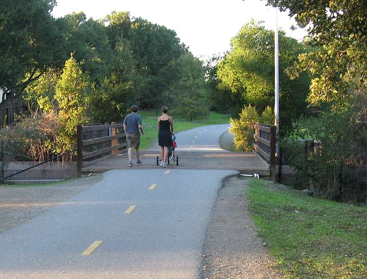
The Matadero Creek Bridge at the south end of Bol Park.
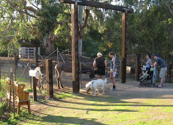
Next to Bol Park is a corral with
two donkeys, named Perry (short for Pericles) and Niner (short for
Miner-49er). Donkeys have lived in this area since the 1930's. The
current donkeys are cared for by volunteers and supported by donations
to Acterra's Palo Alto Donkey Project. (Acterra also manages the
Pearson-Arastradero Preserve.)
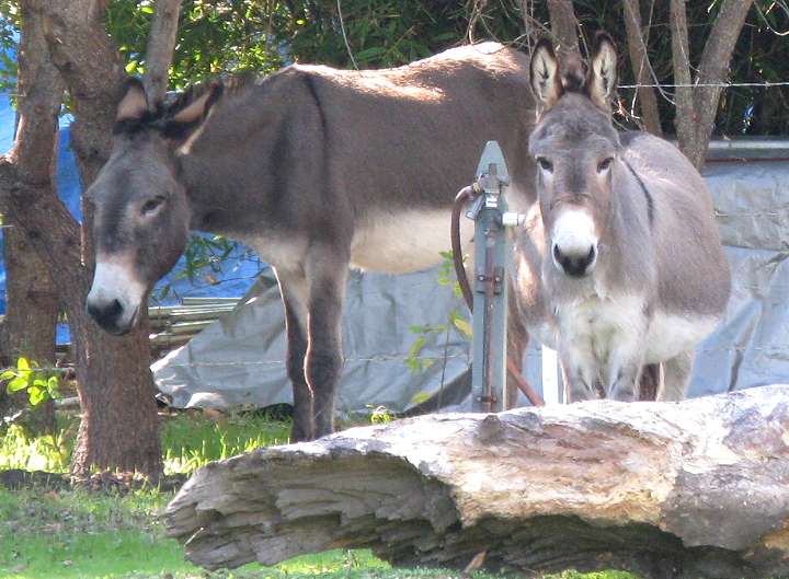
Niner is a standard donkey and is
the larger of the two. Perry is a miniature and was used as a model for
Donkey in the Shrek movies. The donkeys are taken for strolls through
Bol Park every Sunday morning from 9:30 to 10:30 by volunteers.
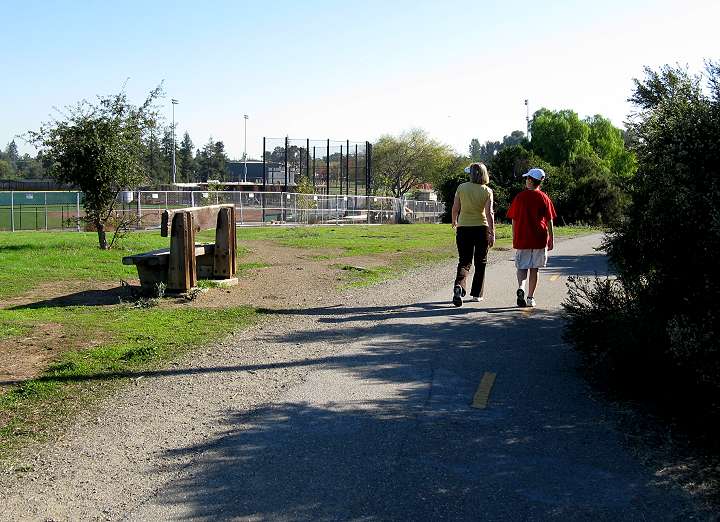
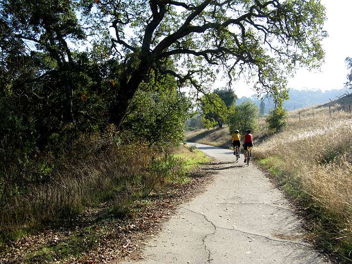
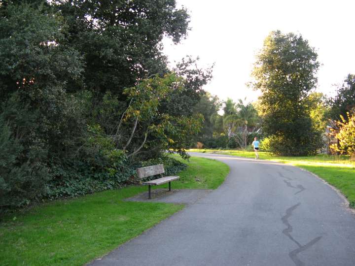
Gunn High School is southeast of
Bol Park. Paved trails run along both sides of it. This trail above is
on the east side of the campus and leads to the school's parking lots.
This is the paved trail that runs
along the west side of Gunn High School, passing very close to
the athletic fields and stadium.
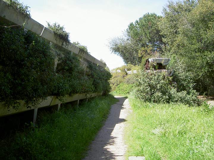
The trail passes by the Barron
Creek Diversion Dam and debris basin. It collects debris from storm
runoff and diverts floodwaters into a tunnel that flows under the
trail.
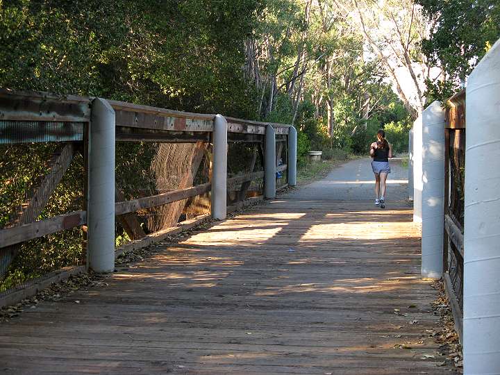
This is the trail bridge over
Barron Creek as it flows into the diversion structure. The trail ends
on Miranda Avenue near the corner of Arastradero Road and Foothill
Expressway.
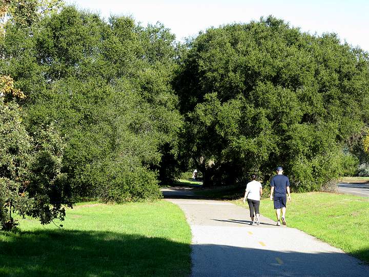
Starting at the corner northwest
corner of Arastradero Road and Foothill Expressway, a paved trail
begins on the north side of Arastradero Road. It runs between the road
and an industrial park. The trail is shaded periodically by oak trees.
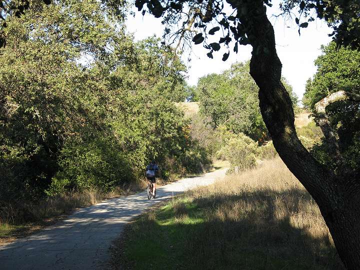
After it passes Deer Creek Road,
the trail becomes more rural, running next to hills grazed by horses
and along the shady riparian corridor of Barron Creek.
The trail continues through the
hills and ends at the intersection of Arastradero Road and Purissima
Road. You can continue on Arastradero Road to Page Mill Road.
Arastradero Road begins again a little farther west and leads to the
entrance of Pearson-Arastradero Preserve.
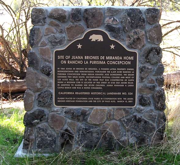
South of Arastradero Road at the
end of Old Adobe Road, between Fremont Road and Foothill Expressway, is
a monument to Juana Briones' ranch. The site of her ranch house is at
4155 Old Adobe Road, and is privately-owned. The monument is located at
the edge of Esther Clark Park.
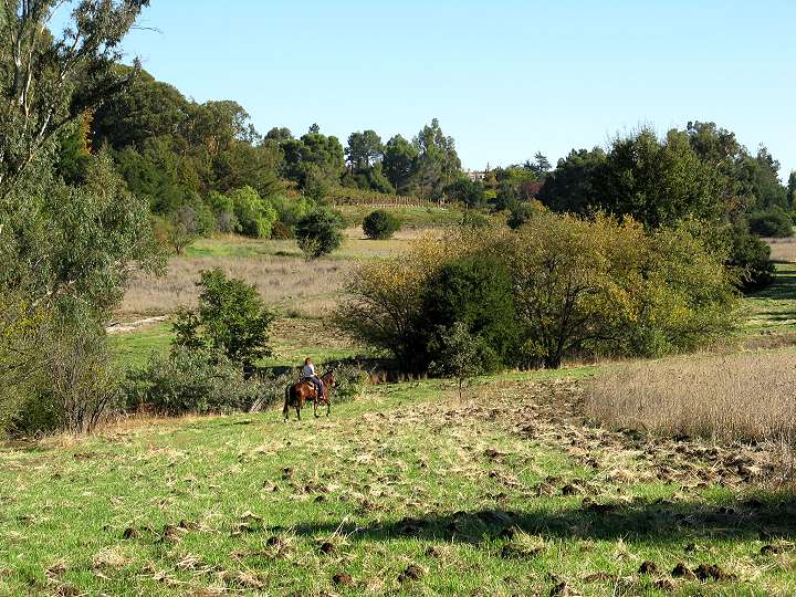
Esther Clark Park is a 21-acre
plot of undeveloped open space, surrounded by large homes. It is a
popular place for equestrians and dog walkers. It was donated to the
city of Palo Alto by Dr. Esther Clark, a pediatrician and founder of
the Palo Alto Medical Clinic and the Children's Health Council.
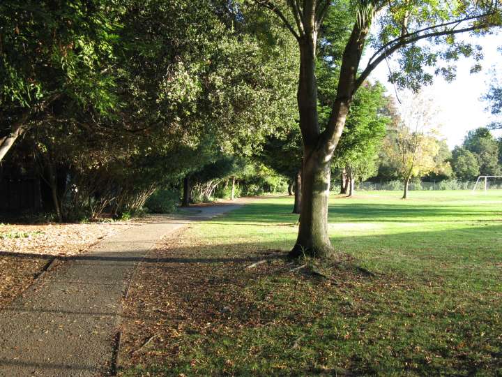
Southwest of Arastradero Road,
north of the Alta Mesa Cemetery, is Terman Park. It is a 7.7-acre park
with playing fields and trails next to Adobe Creek. The park was named
after Stanford psychologist Lewis Terman, who studied gifted children.
The trail above runs along the edge of the park and ends at a bridge
over Adobe Creek.
A paved trail runs between Terman Park and the Alta Mesa Cemetery and ends at Arastradero Road.
In the other direction, the trail runs east into Los Altos and ends at Los Altos Avenue.
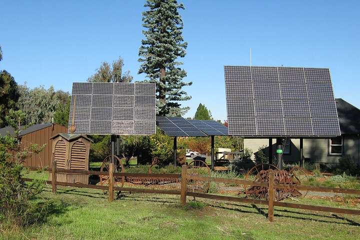
In Los Altos Hills, along Fremont
Road, is the Los Altos Hills Town Hall. Next to is the Heritage House
and a field with old farm equipment. Above them are advanced solar
energy panels.
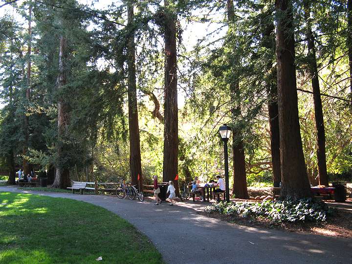
In the town of Los Altos, along
University Avenue, is Shoup Park. The park has playgrounds, lawns, a
senior center, and redwood-shaded picnic areas.
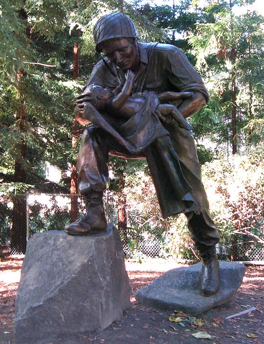
Shoup Park has this large bronze statue, called "Cradle of Liberty," which honors American soldiers.
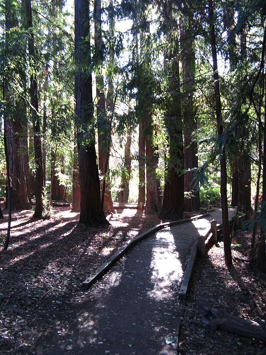
Farther down University Avenue is
the 5.9-acre Redwood Grove Nature Preserve. Boardwalks lead
through the preserve between the redwood trees.
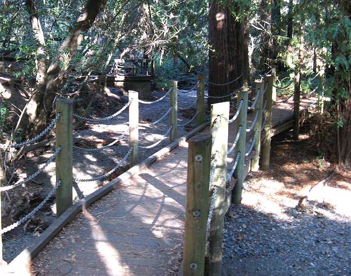
This bridge crosses over usually-dry Adobe Creek.
Pictures
taken by Ron Horii in February-March, 2007. Page
created by Ron Horii, 11/17/08.