Links
Stanford University
Pictures of Stanford University
Stanford Neighborhood Parks and Trails
Stanford Maps
California College Tours
Stanford Shopping Center
Stanford Dish Area
SRI Antenna Facility
Arastradero Preserve
Bay Area Back Pages
SF Bay Rec & Travel
Bay Trails, South Bay
Bay Trail, Palo Alto
Bay Area Parks
Stanford Dish Area
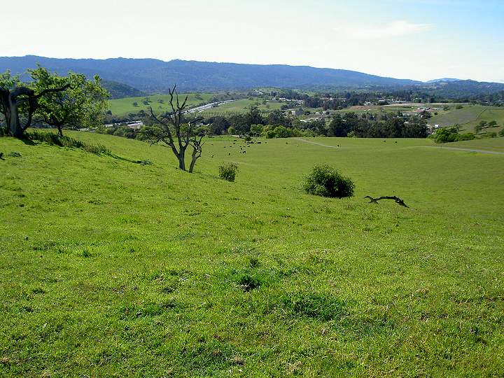
A popular jogging and walking area
next to Stanford University
is the Dish Area. It is a large area of open space southeast of the
Stanford Campus. It is owned by Stanford, but is open to the
public, with restrictions. It is called the Dish Area because of the
large antenna dishes that dominate the hilltops. The Dish Area is along
Junipero Serra Blvd. It has 3 entrances along the road, across from
Stanford Avenue, Frenchmans Road, and Gerona Road. It has a west
entrance on Alpine Road.
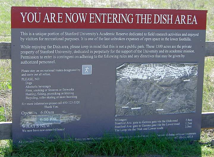
At the entrance, a sign explains
the rules and lists the trail mileages.
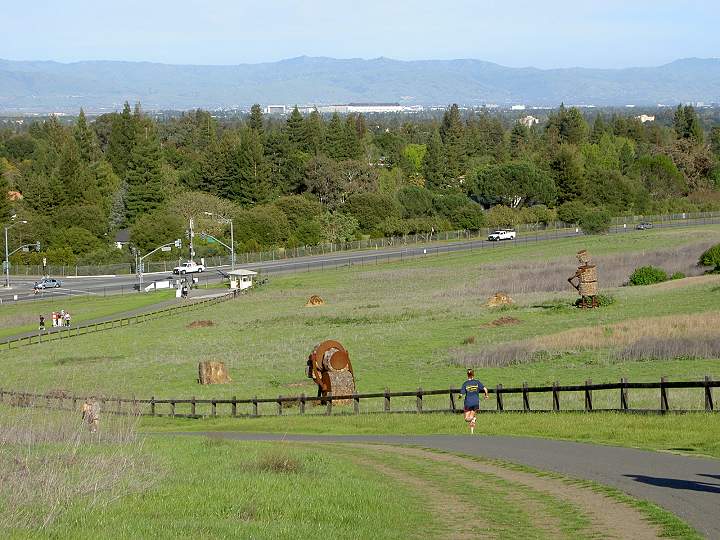
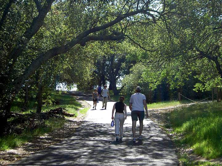
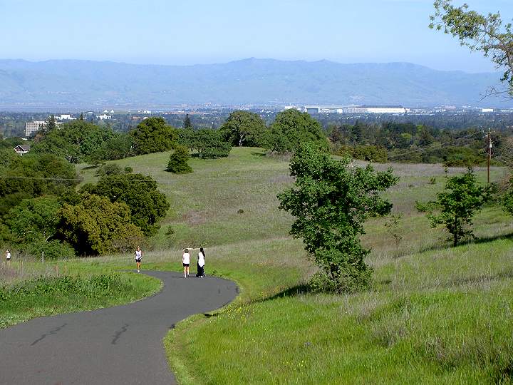
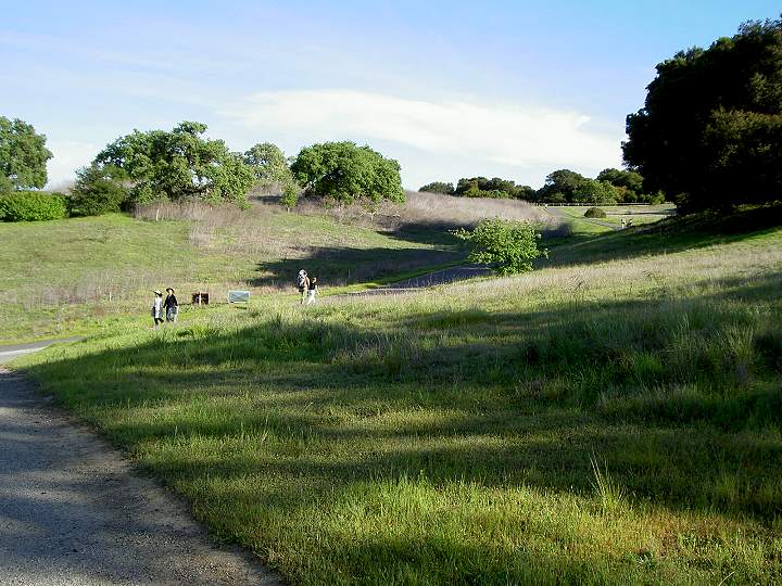
Jogger and walkers by the entry
trail at Stanford Avenue and Junipero Serra Blvd. The hay sculptures
are called
"Makin' Hay" by Jim Otterness. They were installed on the hill in 2005.
Moffett Field is in the background.
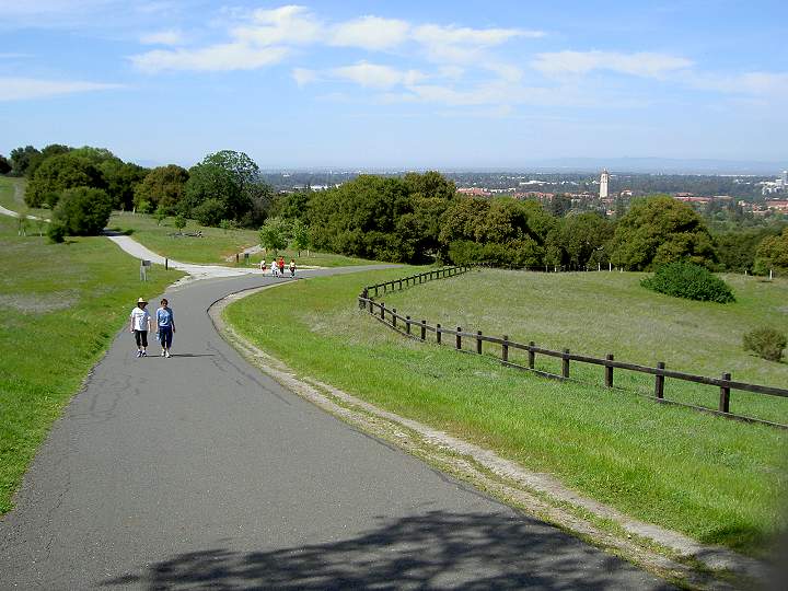
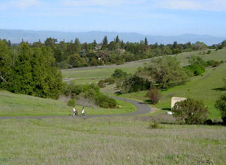
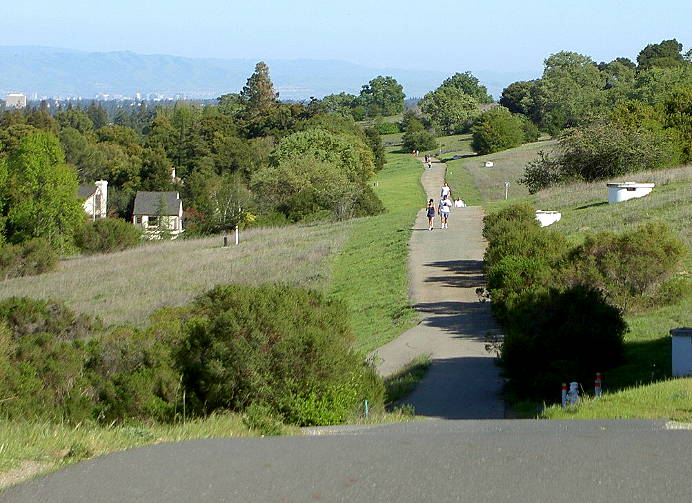
The east end of the Lower Road trail near the Dish Road junction
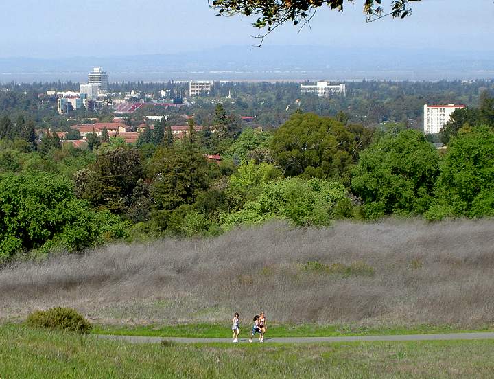
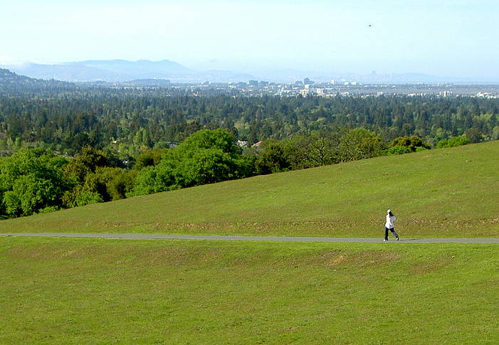
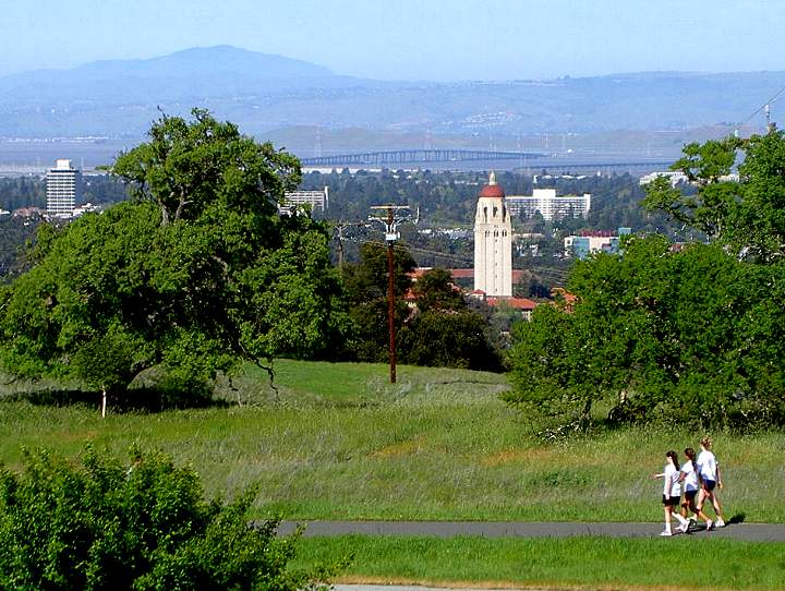
Walkers on the Lower Road trail, Stanford Stadium, and downtown Palo Alto (upper left)
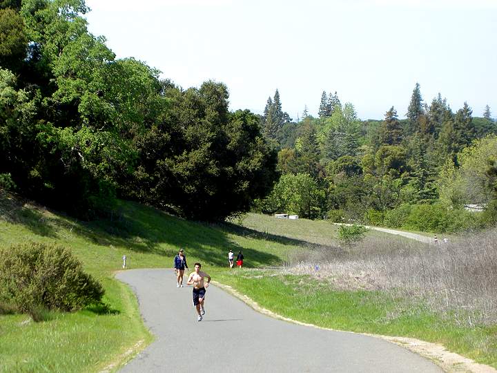
Heading up the east side of the Dish Road trail
Walkers halfway up the Dish Road climb
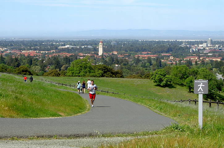
Near the top of the Dish Road. Hoover Tower and Stanford University are in the center.
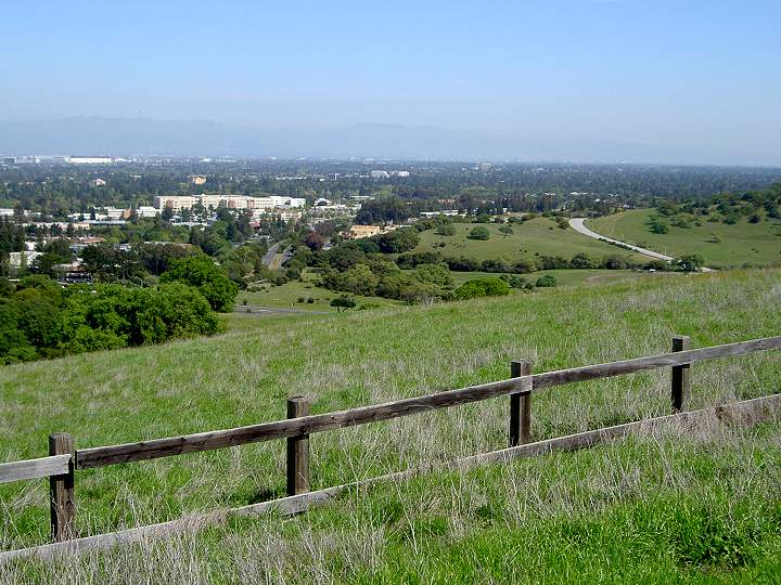
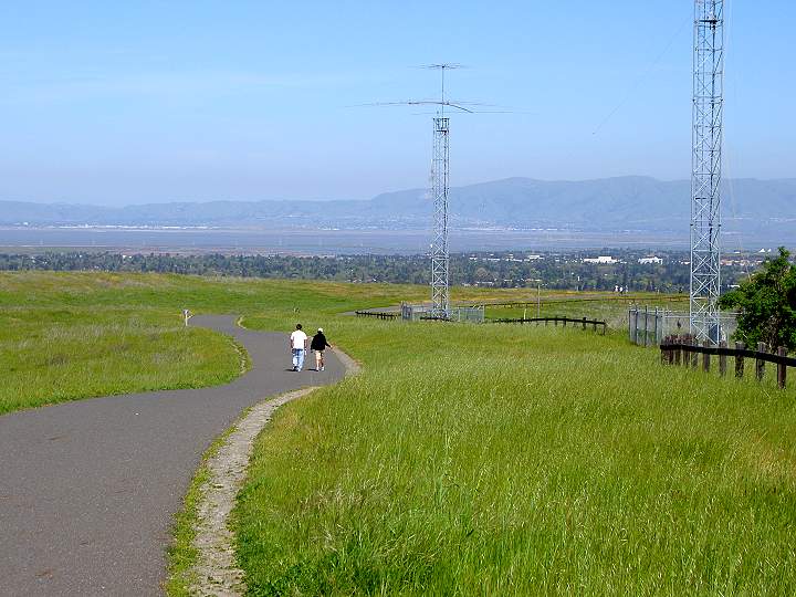
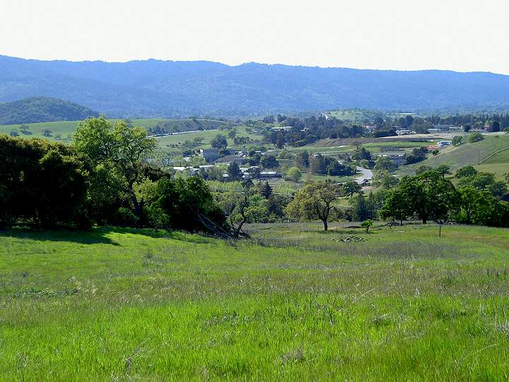
View looking towards Moffett Field
(upper left), Veterans Administration Hospital by Foothill Expressway
(center left), Page Mill Road (center), Coyote Hill Road (right)
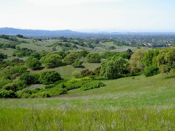
View looking up the Peninsula along the length of the Dish Area
Antennas along the east side of the Dish Area
Small dish antenna
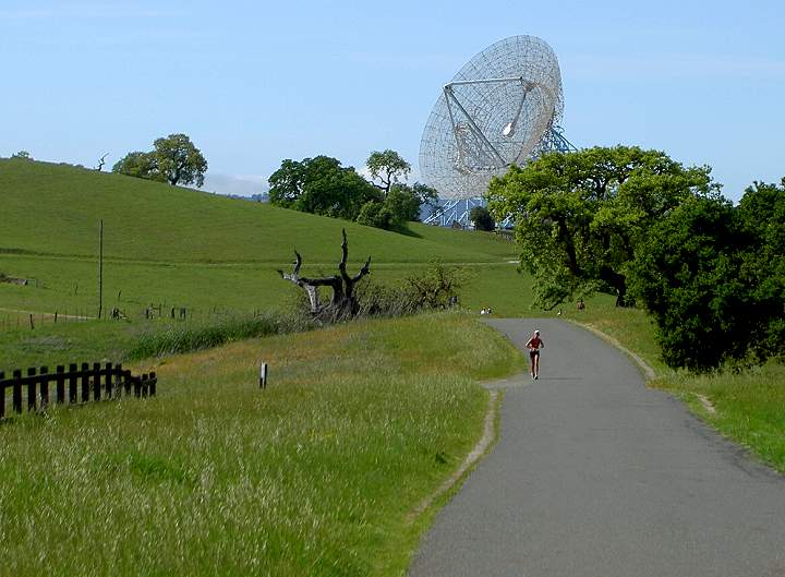
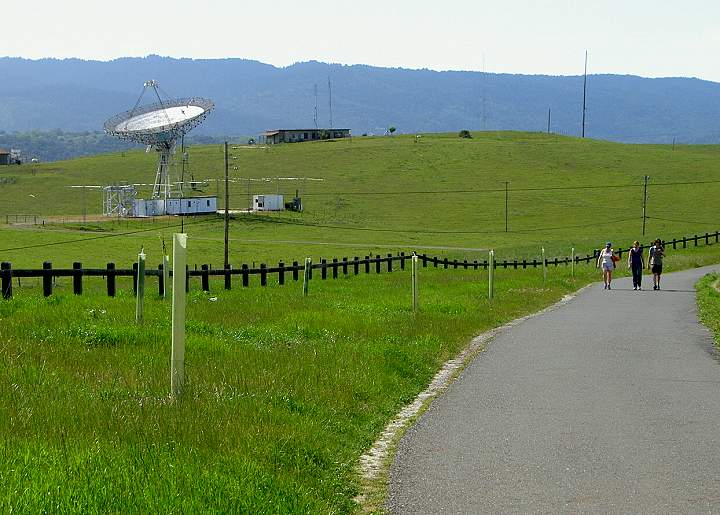
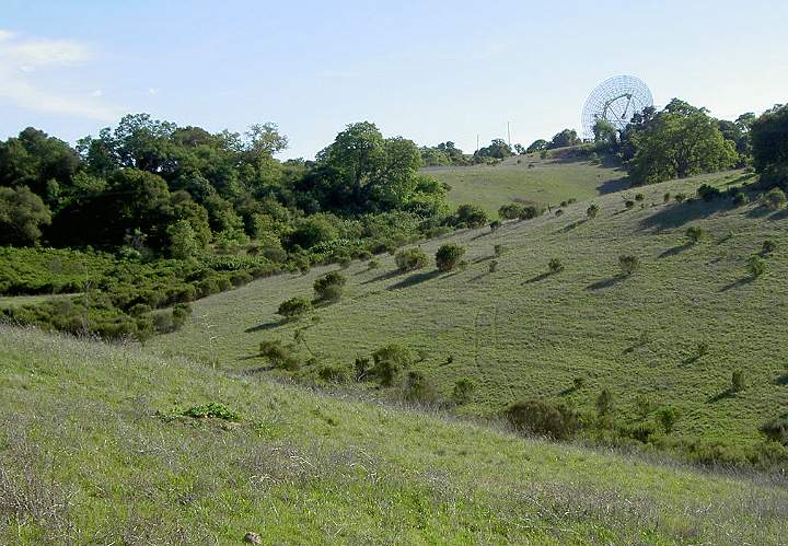
The Big Dish
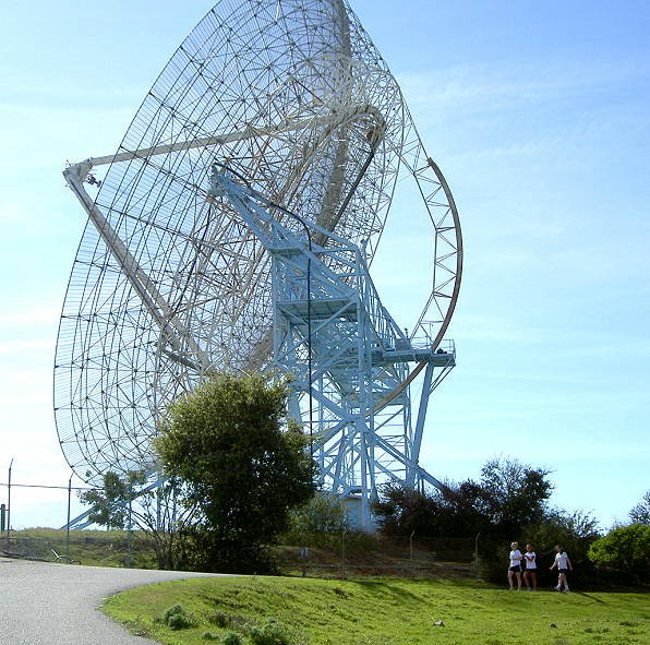
"The Dish" was buit in the 1960's
by SRI International, which still operates and maintains it for the US
Government, which owns it. It is 150 feet in diameter. It has been used
for spacecraft communications and radio astronomy.
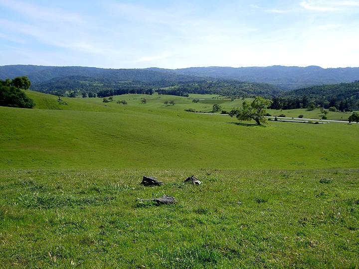 '
' View south towards I-280, Felt Lake, Arastradero Preserve, and the Santa Cruz Mountains
The trail behind the big dish leads to Alpine Road
I-280 (left), trail to Alpine road (right, center)
View from the Big Dish of the Dish
Road Trail, Hoover Tower, the Dumbarton Bridge, the East Bay hills, and
Mt. Diablo.
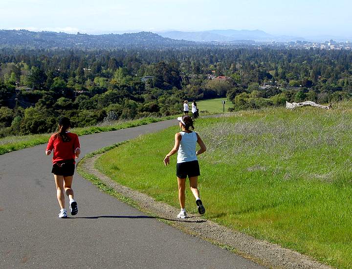
Joggers heading down the west side of the Dish Road trail
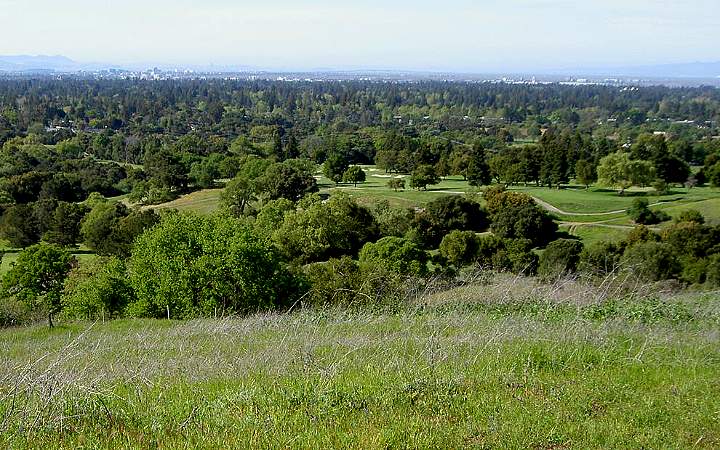
View west of the Stanford University Golf Course, the Peninsula, and the San Mateo Bridge
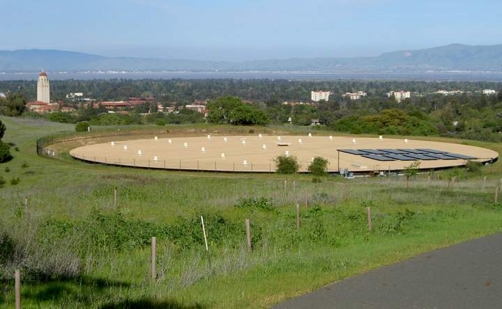
Water tank with solar panels
Heading down the west side of the Dish Road Trail
Looking west towards Alpine Road, I-280
The lower part of the west Dish Road trail, approaching the Gerona Road entrance
Looking back up the hills towards the Big Dish from the Lower Road trail
Looking east down the Lower Road trail
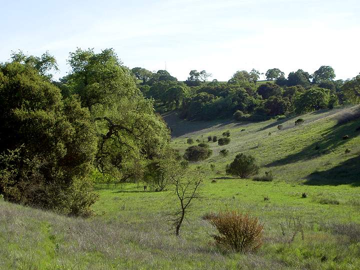
The slopes above the Lower Road trail
Approaching the east end of the
Lower Road trail, by the Frenchmans Road gate, which is off to the
left. The junction with the east Dish Road trail is at the upper right.
Pictures
taken by Ron Horii in February-March, 2007. Page
created by Ron Horii, 11/17/08.