"ROCK
ON D SUMMIT"
Mt. Pico De Loro Ternate,
Cavite
January 9-11, 2004 |
Day
1: January 9,2004 - Mt. Pico De Loro |
Day
2: January 10,2004 - Papaya Beach,
Nasugbu Batangas |
 |
 |
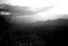 |
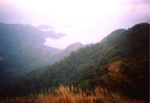
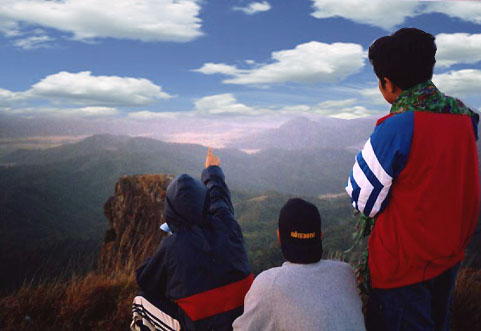
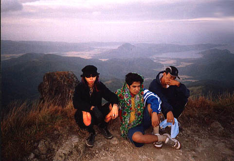
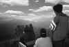
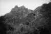
| View
from the summit |
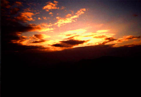
Sunrise
6:13 |
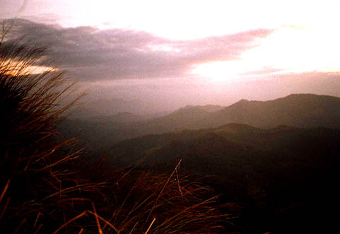
Steep
slope at the peak |
 |
 |
 |
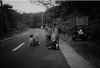
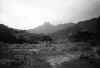
| Magnetic
hill (start of trail) |
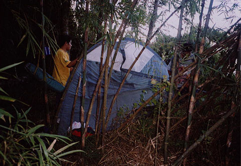
Pahinga
sa Sapa |
Kawayanan |
 |
 |
 |
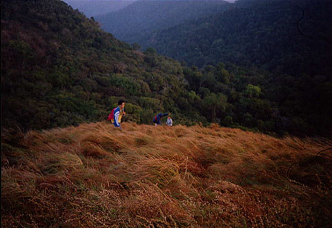
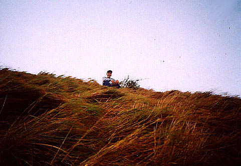
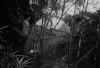
| Talahiban |
Ano!?
takot bumaba? |
Sa
tuktok.. |
 |
 |
 |
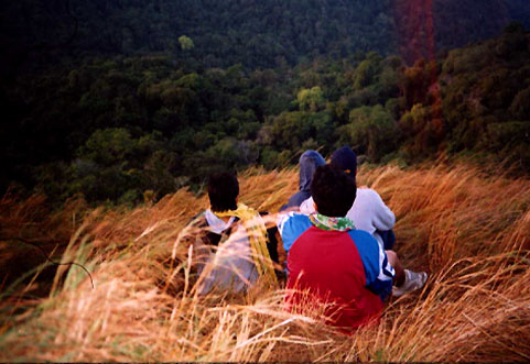
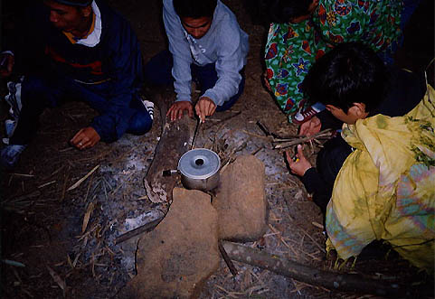
| Naka-itim
pa rin si Corvus |
Hanep!
Talaheb! |
Wala
kasi kameng butane |
 |
 |
 |
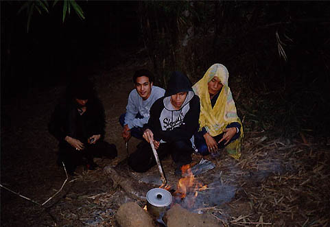
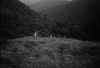
| Oi!
Drex umaapoy na yan! |
Likod
ng Peak |
Sa
baba na ng Nasugbu. |
"It
is the Quality not Quantity"
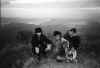
Ito na
yata ang pinaka-konti na nag-hike sa Ravenwolf kase
lilima lang kame. Pero ok lang kasi marami kaming
na-encounter. Simula pa lang ng trail ay nakakita
na kame ng ahas, kaya takbuhan papataas. Sa maniwala
kayo at sa hinde nakakita kame ng puting kalabaw.
Umakyat kame sa Ternate at bumaba kame sa Nasugbu
ng walang tubeg,(tangina ang hiraaap!) laking pasalamat
namin sa Officer ng Metropolitan Mountaineering Society
(sa itinerary) kasi sya ang nag-guide sa amin thru
call and texting. Maraming Salamat po! Dun naman sa
tinigilan namen sa Nasugbu, ay minulto kami ng sagad
sa Haunted Kubo ni Inyang Maranan. Nakakita si Marian
ng nakapute nung madaling araw,hindi na nakapagtataka
kasi malapit yung bahay sa puno ng Balete at patay
na yung may-ari ng kubo. Masaya kami, kasi nakilala
namin si Nanay Bulate, at well accomodating sila.
| 
|
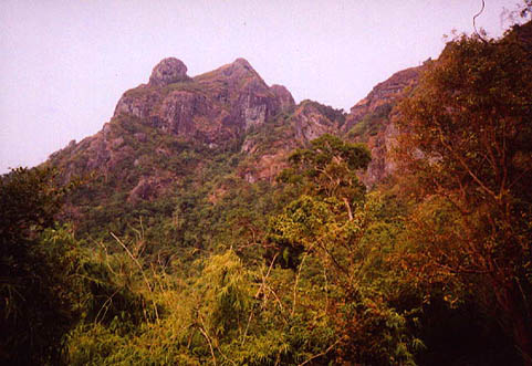
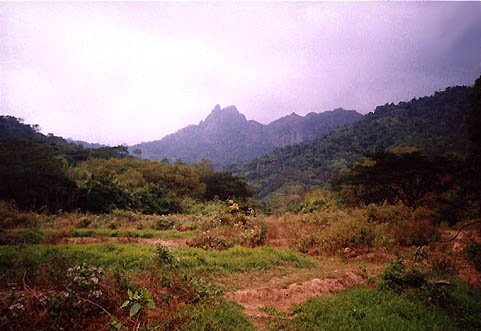
| Pico
de Loro is located 85 kilometers southwest of
Manila. It is bounded by the island of Corregidor
and the Caraballo Mountains in the north, Nasugbu
Batangas in the south, Maragondon on the east
and the South China Sea on the west. With the
height of 664 meters above sea level, it is considered
the highest mountain in the generally flat Cavite
province. Pico de Loro is the highest point on
a series of rolling hills and mountains within
the boundary of Cavite and Batangas. Though not
really that high, the view from the summit is
awesome, facing the tranquil seas on the north-eastern
side particularly the Manila Bay area giving you
a good vantage point to watch the ships passing
by while the entire Batangas and Cavite on the
south-eastern side will give you a glimpse of
the south-eastern mountains like Batulao and Talamitam.
Pico de Loro has a majestic view when seen near
the base camp wherein it resembles a mighty rock-face
with exotic flora along the sides resembling the
North American rocky mountains, though on a smaller
scale. Pico
de Loro is somewhat part of the vast naval military
park in Ternate Cavite because of its strategic
location giving a vantagepoint of the strategic
Corregidor Island. It was used strategically
as an observation post for Japanese naval movements
during World War II.
Pico
de Loro is currently on a constant threat against
modernization. The place has been controversial
when a plan to make a highway connecting Nasugbu
and Ternate was proposed. It seems that several
thousand of trees will be cut to make way for
this project. Another issue was the Hacienda Looc
controversy, which is generally the fight for
ownership of the lands within the Pico de Loro
area. |
| 
|
| According
to legends, the mountain got her name from the
first Spanish colonizers. They have seen the mountain
from a distance while they were cruising their
way to Manila bay and have noticed the peak resembling
a parrot�s beak hence was it called "Pico
de Loro" from the Spanish word "Parrot�s
Peak". Another story goes that early Cavite�os
named the mountains from the tropical birds, a
specie of the parrot family, which they often
encounter while they were hunting for food within
the mountains. |
| Information
from: Metropolitan Moutaineering Society |

|