| Trail 324 North Blacktail |
||||||||||||
| I was not able to hike the entire trail in the time I allotted for my hike due to all the blowdown blocking my progress. I did however hike the first mile or so of the trail's four mile length. The trail is not on USGS Map for this area, but it is on the 1988 (but not the 2003) version of the Kaniksu National Forest Map. |
||||||||||||
| Observe the trail marker on the tree to the right of the trail in the photograph at the right. The trialhead is about 1.7 miles out Road 1341 from Beaver Creek. The trailhead will be on your left. If you reach the trailhead for Plowboy Mountain (Trail 295), turn around an go back about 0.4 miles. The trailhead will then be on your right. For more detailed directions, refer to my write up for the Plowboy Mountain Trail. 
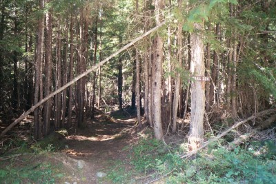
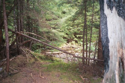
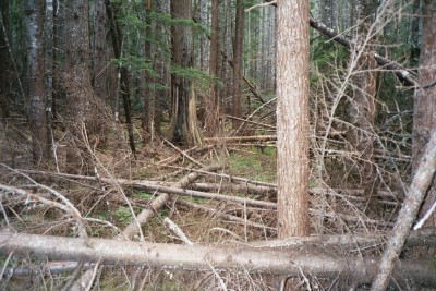
The trail's tread is in really good shape. If it wasn't for the blow-down (fallen trees) it would be an enchanting walk in the forest. |
![]() |
|||||||||||
![]() |
||||||||||||
| The trail near the point where it crosses Beaver Creek is visible in the photograph at the right. | ||||||||||||
![]() |
||||||||||||
| The extent of the blowdown is visible in the photograph at the right - but there is good tread under all those downed trees. | ||||||||||||