 |
|
|
|
|
|
|
|
|
|
|
|
|
|
|
|
|
|
|
|
|
|
|
|
Surveying |
|
|
|
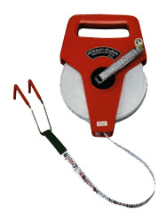
Surveying used to be a time-consuming task, measuring out every single point by hand. Surveyors had to use a system of upright rulers and plum lines at each point, and all the distances were measured using a surveying tape. |
|
|
|
 |
|
|
|
http://yoas.net/SOK-TAPE.jpg |
|
|
|
After all of the field work, numerous geometric calculations were necesary to have usable data.
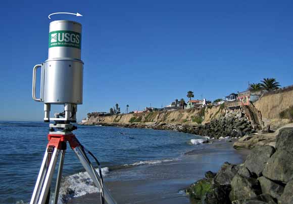
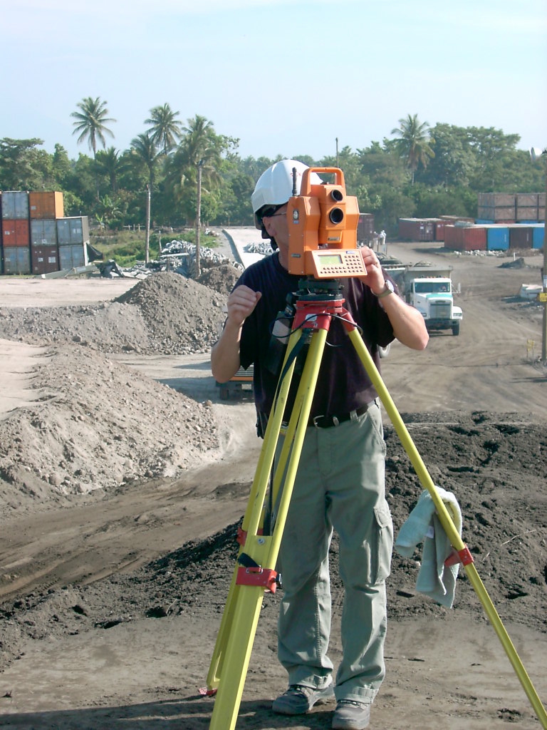
LIDAR can be used to streamline the surveying process. A LIDAR set up on a tripod can be used to detect the distance of different points. Often times a surveyor will hold a mirror at the point they want to find the range of. Using LIDAR instead of a tape measure gives the surveyors faster and more accurate results. |
|
|
 |
|
|
|
http://pubs.usgs.gov/fs/2006/3111/images/coverphoto.jpg |
|
|
|
 |
|
|
|
http://www.surgeon.fi/images/laser%20surveying.jpg |
|
|
|
Home |
|
|
|
How does it work? |
|
|
|
Topography |
|
|
|
Atmospheric Research |
|
|
|
Links |
|