 |
|
|
|
|
|
|
|
|
|
|
|
|
|
|
|
|
|
|
|
|
|
|
|
|
|
|
|
|
|
|
|
|
|
|
|
|
|
|
|
|
|
|
|
|
|
|
|
|
|
|
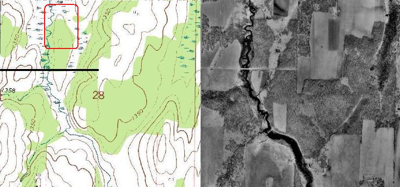
River woodlot part two,
Northern Territories |
|
|
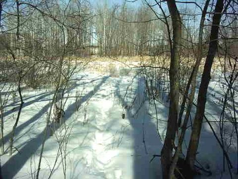
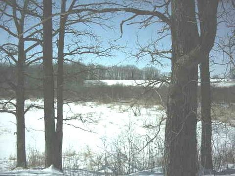
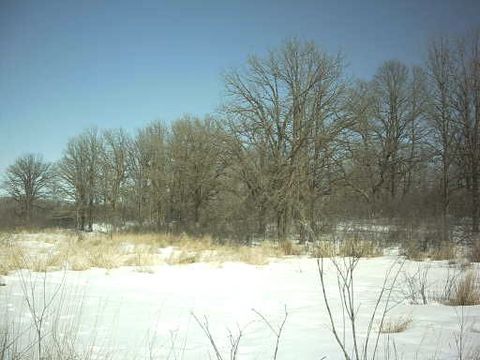
This area is the most revealing of sign and action. Also the most unpredictable for sightings of any gender. I have seen bucks and doe at almost any time of day. I consider this a small sanctuary within the woodlot. Escape routs are easy to get to, cover is thick, and previsions are abundant. There are so many perfect ambush and stalk set ups for this site, that you would think harvesting would be a breeze.
HA think again, if you get in undetected at all you still have to look intently for deer watching you. There are several trails from quite a few different directions channeling to this haven. Binoculars are a mans best friend and an absolute must for this hunt.
The swamp is on two sides east and north. The river is on the west side. Hunting without perfect conditions will be worthless. The end result will be forced nocturnal deer movement and long stalks of nature walks. Avoiding the very center of the woodlot is a requirement. A slight peek is very revealing to eyes that pick up movements of a snail. Added challenges being, that�s where the deer hang out before bedding on the east side of the woodlot. Natures observation post. |
|
|
|
 |
|
|
 |
|
 |
|
|
|
|
|
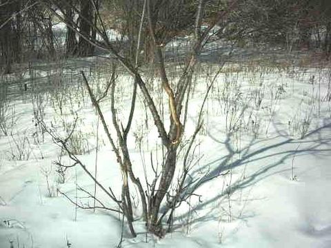
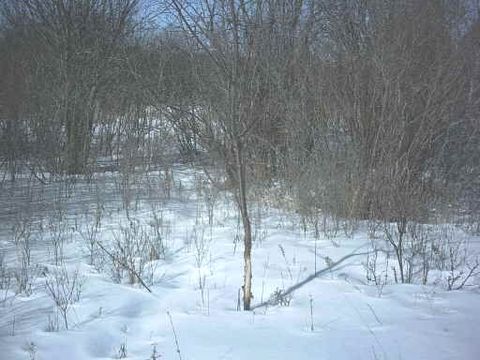
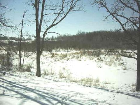
Two rubs on the far north side of an open field. There were no trails other then a very old one in the left picture. Perhaps just a way to relieve the irritating itch of drying velvet. All though this is a very secluded spot to chase and tend doe. |
|
|
|
 |
|
 |
|
|
|
|
|
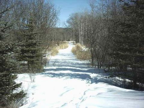
The left picture is the same field with the rubs above. They were way back to the left side. The trail you see forking out creates two funnel situations. Both heading in an east direction. One obviously taking the road. The other entering a small batch of pine on the north west corner of river woodlot. The road is usually four to eight inches under water all year. Swamp lowland to both sides north and south just beyond the pine trees. |
|
 |
|
|
 |
|
|
|
|
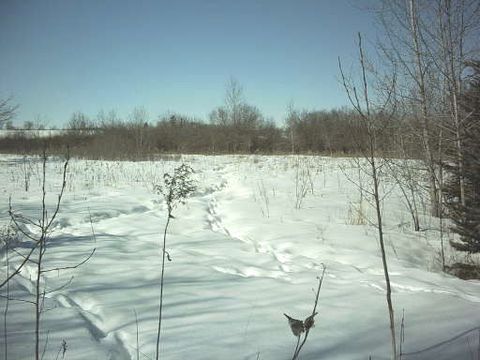
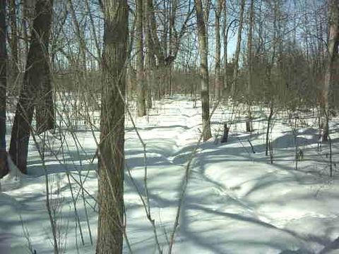
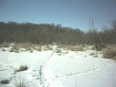
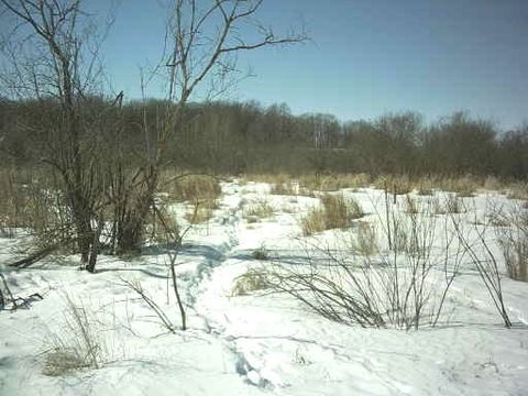
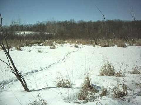
The north west corner or what I call the funnel corner. I have never actually seen deer walk this trail. So I have no idea why it forks or what deer take what trail. They both end up at or near the beds. This day of the picture the trail splitting off to the left had very little use. Most of what you see as far as prints are mine getting there. |
|
|
 |
|
 |
|
|
|
|
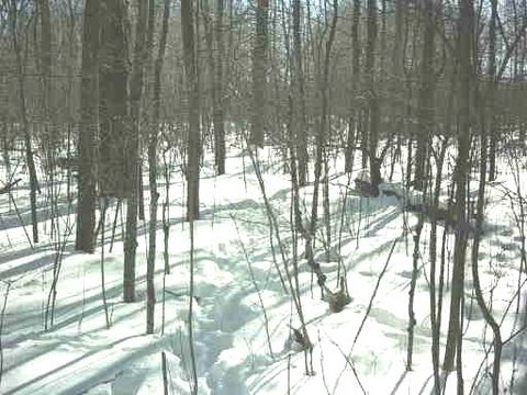
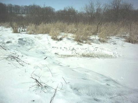
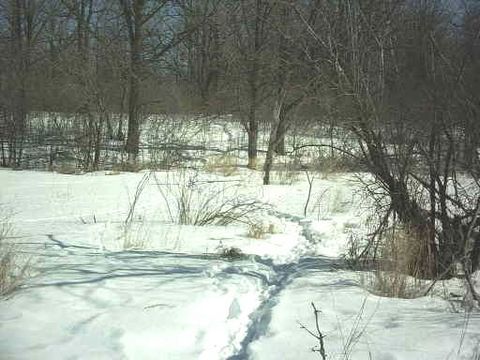
Both trails as they continue on. The left picture I am looking back into the corner. The right is the most used trail that is heading directly to the beds. If I was a tree stand hunter, this would be a great morning location |
|
 |
|
 |
|
|
|
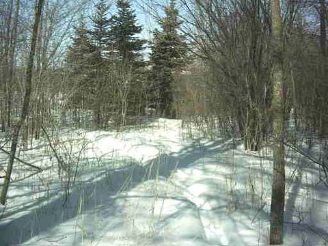
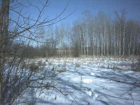
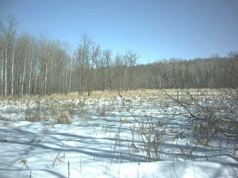
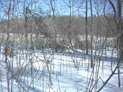
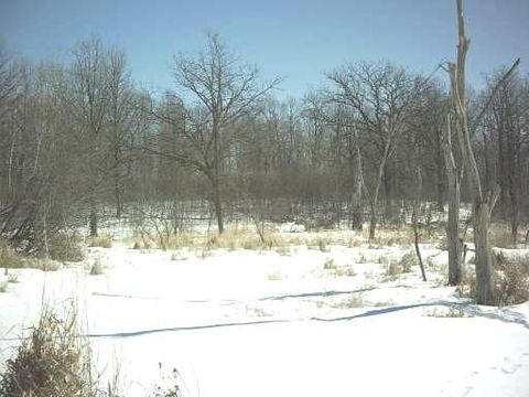
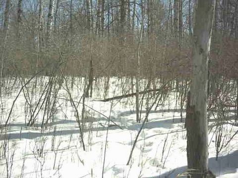
This is what I call the north break line.(see the running tracks in the left picture i spooked it getting there) The trail that splits left after coming into the funnel corner is to my left. Just beyond the patch of taller trees in the center, is the road that the funnel split to earlier. Way beyond the tree line is an alfalfa field that holds every deer in the surrounding area. Unfortunately the taller strip of trees is also the property border. |
|
 |
|
|
 |
|
|
|
|
|
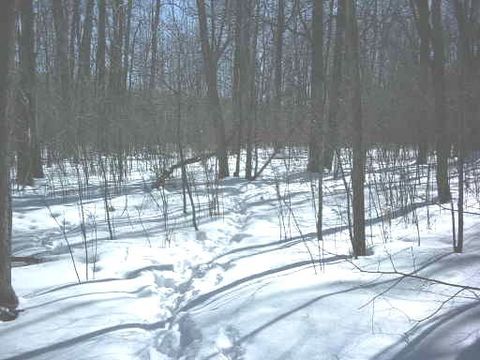
A bit farther to the right an old rub from last year. Then what I call break line cross over trail. This is where the deer come into the river woodlot after feeding in the alfalfa field at night. This is probably the most used trail entering the woodlot. The hard part about hunting this trail is timing. Bucks are for sure already in the woodlot by day break. Spooking them will drive any other deer out into places unknown. Not just for the day either, you may as well hunt in a different county for a week. |
|
|
 |
|
 |
|
|
|
|
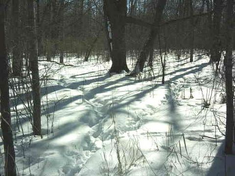
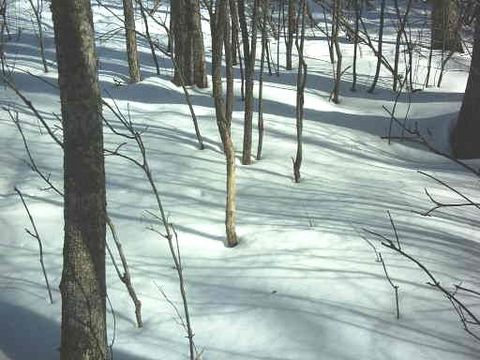
The trail continues to the woodlot bedding area. On the topo map you can see where the center of the woodlot peeks a bit. This trail is on the east side of that and inside the wood line fifteen yards or so. The picture of the fallen tree is a ground blind about twelve yards from the trail. You guessed it, the north break line ground blind. The east ridge in the back ground is my access rout to the blind. Obviously I need an east blowing wind to hunt this blind. |
|
|
|
Back over to the west wood line at the river bank.
I am going to start again at this area because the rest of the trails are to and from water holes. |
|
|
 |
|
|
 |
|
|
|
|
|
Looking across at the west ridge from the bank of oak camp. The beaver have got this river flooded from this bank to the west wood line. At one time you could jump across the river. The willows are now a foot under water as well as the swamp grass. Like I said before spotting deer has become a little easier. They used to bed in the tall grass along the river. |
|
|
 |
|
 |
|
|
|
|
|
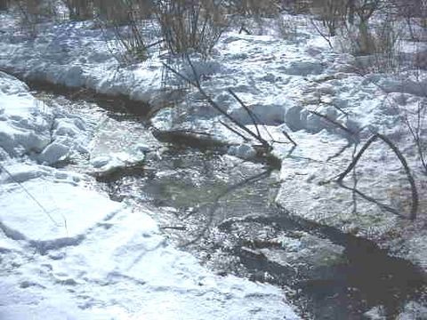
Just below the oak camp site is this trail to the west ridge and the beaver dam. You can see where the deer have been trying to scratch and bust the ice for water. In perspective I am standing at the end of the beaver dam on the shore. So it is easy to see how wide the river normally is. |
|
|
 |
|
 |
|
|
|
|
|
Way over to the left at the end of the oak trees is the oak camp site. Can you tell why we call it oak camp? I am standing on the ice in the center of the river. There is just as much flooded behind me to the west ridge woodlot. Duck and goose hunting is great with a dog and boat. |
|
|
|
 |
|
 |
|
|
|
|
This is the most used trail crossing the river. Even the trail above forks into this one. The trail heads strait to the bedding area in the river woodlot. Also cuts through the willows along the west side of the river to the west woodlot. I am guessing the deer leave the beds to drink then continue on to the other side in the evening. It looks as though this trail heads to the bean field north of west ridge woodlot. |
|
|
 |
|
|
 |
|
|
|
|
|
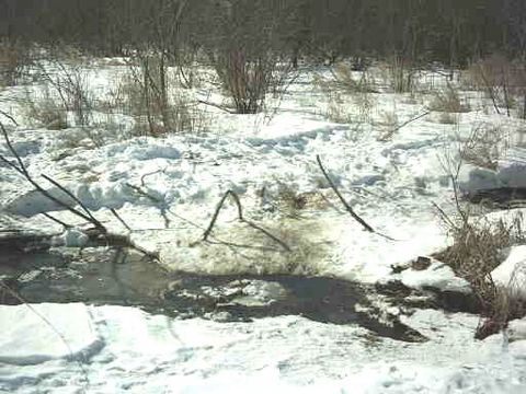
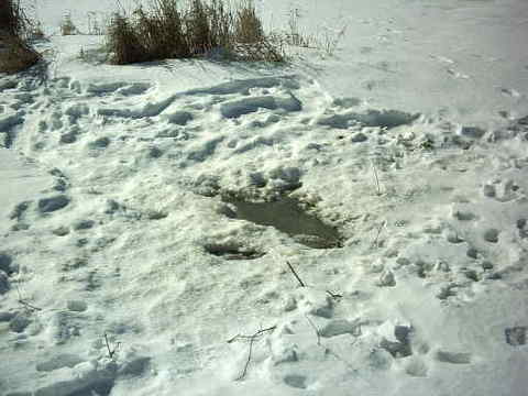
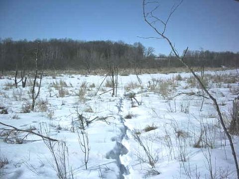
This water hole confirms my theory that the deer are moving west. See the mud on the far side of the water. Also you can see where the deer enter the water. The ice is broke open to a point in the bottom right side of the picture. They must really gather around for a length of time. There must be a million foot prints of all sizes. This hole is very protected from wind, weather and eye sight. |
|
|
 |
|
|
 |
|
|
|
|
|
A second water hole, actually one that was. The trail is still used to cross the river but the water hole has froze over. Being such a strait line trail I wonder if it could be used by a buck. There are only a few prints of pretty good size but, even some of the doe in these woodlots have larger hooves. |
|
|
|
 |
|
 |
|
|
|
|
A good view of the distance across the river. Both pictures are taken of the same trail as the water hole trail above. This used to be a great place to stalk for bedding deer. With a west wind in your face glassing from the top of the bank. You could stalk to the break line and wait for them to stand in the grass. After the shot you could see them for a long time if they didn`t drop soon after. Blood trails in high grass are pretty easy to follow. Once they get into the river that makes it more of a challenge. A well placed arrow is crucial for a quick demise. |
|
|
|
Back to page one
West ridge |
|
|
|
 |
|
|
|
|
Back to page two
Across the river |
|
|
|
|
|
Page four
Bedding ground blind |
|
|
|
|

|
|
|
|
|
|
|
Back to my home page |
|
|
|
|
|
|
|
|