|
|
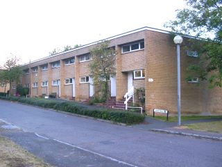
Some of the earliest housing built by the Development Corporation for its own workforce is located in this area. |
|
The village also contains older council housing built before the designation of the city, mostly now in private ownership. |
|
|
|
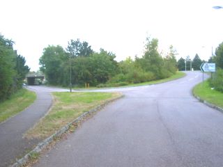
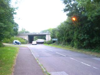
The road from Bletchley to Newport Pagnell has been diverted under the grid, with links to the H road above. |
|
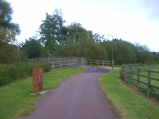
At this point the footpath to the left of the road forms the Redway. Aerial view HERE |
|
|
|
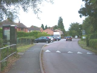
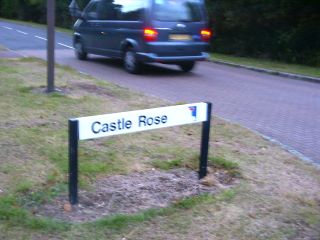
Canal traditions have influenced the naming of streets alongside the next stretch. Castles and roses feature in the traditional decorations of canal boats. |
|
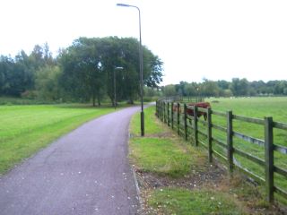
The Redway route crosses the flood plain of the Ousel River between a nature reserve and a working farm. Aerial view HERE |
|
|
|
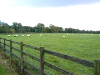
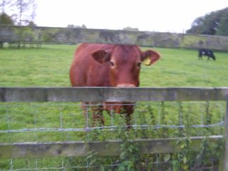
The farm has been restocked following the foot and mouth outbreak of 2001. |
|
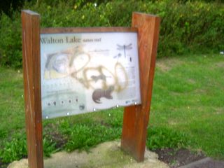
Information boards explain the significance of flora and fauna in the Walton Lake reserve. |
|
 |
Informal observation of this Redway is possible. |
|
The bridge leads directly into the Open University campus at Walton Hall. Aerial view HERE |
 |

 |
 |
 |
 |
This page is maintained by
Stephen Little
Head,
Centre for Innovation, Knowledge and Enterprise
Open University Business
School
Milton Keynes, U.K.
[email protected]