
|
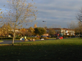
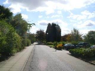
The Milton Keynes Redway system mirrors the better known road grid, with major Redway junctions occurring below the nodes of the grid. A map of the Redway system is available HERE (3.4mb pdf) The city road grid creates 1 kilometre squares, each containing an area of housing or commercial premises. Grid roads are both named and numbers with V (vertical) indicating roughly north-south alignment and H (horizontal) indicating east-west alignment The grade crossings use roundabouts which significantly reduce the proportion of land surface dedicated to highways, and the redundancy of the grid allows traffic to filter around congestion. The Redways, named after their distinctive red surface finish, give pedestrian and cycle access to all parts of the city but the also provide a very different experience from the roads, which in summer are screened by heavy planting, offering little impression of the city beyond the Central Milton Keynes area. |
|
|
These images record a journey from Steve Little's flat in Fishermead close to the centre of Milton Keynes to the Walton Hall campus of the Open University, using the Redway cycle/footpath system. |
|
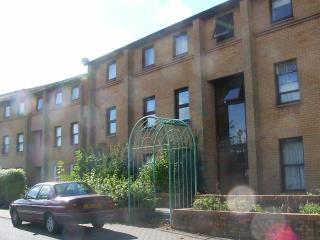
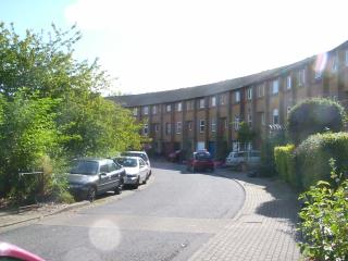
Fishermead is set out in a formal layout of avenues and a central crescent. Aerial view HERE The houses and flats originally had flat roofs which were mostly replaced at significant cost after only a few years. |
|
 |
The roundabouts on the through roads across the estate have been enlarged as current vehicles can negotiate them at much higher speeds than were envisaged in the 1970s. Here a mini-roundabout is being introduced at a former t-junction. |
|
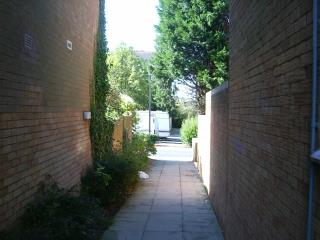
The pedestrian routes are separated from the roads within the estate - this alleyway give access between Kernow Crescent and Pennan Place and is a major route to the elementary school on the estate. |
|
|
|
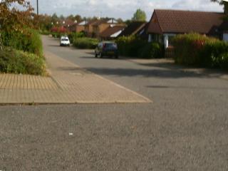
Pennan Place heading south |
|
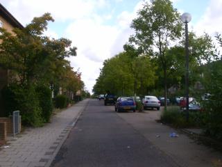
Typical residential streets contain central landscaped parking areas. |
|
|
|
Additional housing was built round the edges of the estate, in a more conventional format for sale as opposed to rental. Aerial view HERE |
|
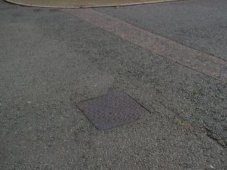
This access chamber cover caused a significant accident - the cast iron surface has practically zero coefficient of friction when wet or damp. |
|
|
|
A cul de sac in the extension gives access to the Redway system |
|
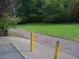
Redways are neither roads nor footpaths according to central government, and are therefore not separately funded for maintenance. The poor condition of many surfaces presents a hazard to cyclists. |
|


 |
 |
 |
 |
This page last updated 20 October 2007
This page is maintained by
Stephen
Little
Head, Centre for Innovation, Knowledge and Enterprise
Open
University Business School
Milton Keynes, U.K.
[email protected]