Emergency Evacuation Sites
Northshore Forest - Sault Ste Marie District |
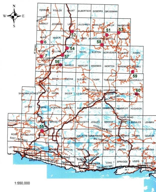 |
Hold cursor over red dot to learn which Evac Site is at that location
Click on red dot to download the Checklist for Emergency Evacuation Site information in .pdf format.
DOWNLOAD a full size 8 1/2" x 11" map in .pdf format |
| EVACUATION SITE LOCATIONS |
Emergency Evacuation Site Locations on the Northshore Forest - Sault Ste. Marie District are:
|
| Site # |
Main Road |
Township |
Location |
Access Restriction |
| |
| 6 |
Domtar Road |
McNie |
McNie Road |
Winter Access if Plowed |
| 7 |
Ranger Lake Rd (Hwy 556) |
Renwick |
Old Domtar Road |
Year Round Road |
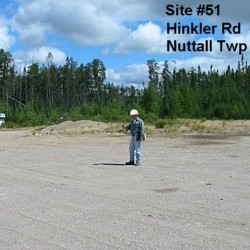
| 51 |
Hinkler Road |
Nuttall |
Meakin's Camp |
Year Round Road |
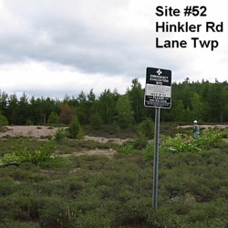
| 52 |
Hinkler Road |
Lane |
Wenebegan Bridge |
Year Round Road |
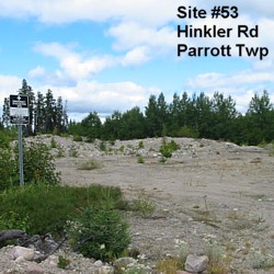
| 53 |
Hinkler Road |
Parrott |
KM 44 |
Year Round Road |
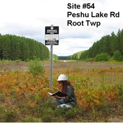
| 54 |
Highway #129 |
Root |
Peshu Lake Road Air Strip |
Winter access if plowed |
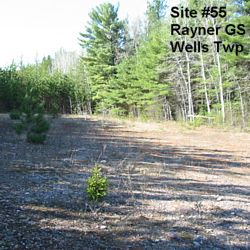
| 55 |
Highway #129 |
Wells |
Mississagi Power (Rayner Generating) Station |
Year Round Road |
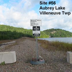
| 56 |
Black Creek Road |
Villeneuve |
Aubrey Lake Side Dam |
Summer Road Only |
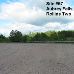
| 57 |
Highway #129 |
Rollins |
Aubrey Falls Hydro Dam |
Year Round Road |
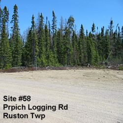
| 58 |
Hinkler Road |
Ruston |
Prpich Logging Road KM 13 |
Winter access if plowed |
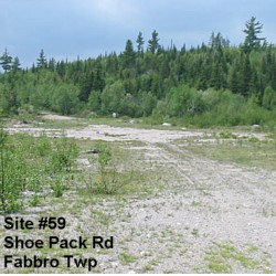
| 59 |
Shoe Pack Road |
Fabbro |
Poisson Camp |
Winter access if plowed |
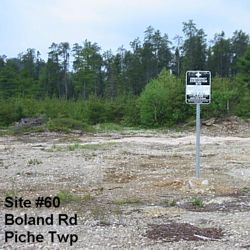
| 60 |
Boland Road |
Piche |
Poisson Camp |
Winter access if plowed |
| Click on the Site number link to download the Checklist for Emergency Evacuation Site information in .pdf format for that site. |
|
|
|