CGF3M
Physical Geography: Patterns, Processes, and Interactions,
Grade 11, University/College Preparation
![]() Click
here to go to the Ministry of Education Curriculum Documents for this
course.
Click
here to go to the Ministry of Education Curriculum Documents for this
course.
|
COURSE DESCRIPTION This course examines the main
elements of the physical environment (climate, soils, landforms, oceans,
vegetation), the processes that shape them, and the relationship between the
environment and human beings. Students will apply a wide range of geographic
tools and methods to explore the distribution and ongoing evolution of the
elements of the physical environment on a variety of scales, from local to
global. |
Get it all here!!! Lesson outlines, homework, tests and other special dates.....
|
Date |
Lesson |
Assignment / Homework |
|
September 4 |
Handouts and
course outlines Unit 1: The Nature of Physical Geography Expectations: describe the difficulties and limitations inherent in quantifying the processes and elements of the physical environment; |
Physical Geography is: integrative spatial holistic systems oriented concerned with change |
|
September 5 - 7 |
The Graphing
Detective |
|
|
September 10 |
Systems Theory
Expectations: describe the flow of matter and energy through ecosystems (e.g., the hydrologic cycle, the carbon cycle) and explain the relationship of these flows to landforms, climate, soils, and vegetation; demonstrate an understanding of the effects of human activities (e.g., urban expansion, resource exploitation) on various aspects of the environment; |
Four types of systems Morphological Cascading Ecosystems Altered Systems |
|
September 11 - 12 |
The Development
of Ideas in Physical Geography Article: Baby, the rain must fall. The Globe and Mail Expectations: demonstrate an understanding of the difficulties involved in predicting climate change; identify careers related to physical geography; analyse educational requirements, job descriptions, current opportunities, and future prospects for a selected career related to physical geography. |
1. Look at Figure 3.7 on pg. 45 of PE.
(handout)
|
|
September 13 - 14 |
Unit 2: Topographic Mapping
Skills Expectations: demonstrate an understanding of the technology available for mapping, imaging, and measuring features and phenomena on the surface of the earth; |
Geolab #3, pg. 8, Questions 1 - 9 |
|
September 17 - 20 |
Mapping Skills
- Contour Mapping HAND IN (32 marks
in the application category) |
Drawing profiles from
contour maps handouts |
|
September 20 |
Drawing contour
maps Expectations: demonstrate an understanding of the importance of field verification (ground truthing) of data collected from remote sensing instruments, including satellites; |
Assignment: Draw a contour map of your face. Expectations: produce and interpret maps, diagrams, charts, and models; |
|
September 20 |
Unit 3: The Earth in Space |
1. Read
pgs. 8 - 13 in your textbook. Answer Qs 1,3 on pg.
15. |
|
September 21 |
The Moving Earth
Expectations: explain how the earths orbit and tilt relate to the seasons and annual variations in climate; explain the potential effects of long-term climate change (e.g., global warming) on different parts of the world; |
1. What
effect might the present orbit of the earth around the sun (perihelion in
January) have on winters in the northern hemisphere? in
|
|
September 24 - 27 |
The effects of
a moving earth |
Using a world time zones
map: |
|
September |
Tides Expectations: describe the relationship of the moon and the earth to each other and the moons effects on tides; |
|
|
September |
TEST ON UNITS ONE, TWO AND THREE |
|
|
|
Unit 4: Weathering and Erosion
|
Read pages 102 -
113 |
|
September |
Video: The Uneventful Day Expectations: describe the difference between human and geologic time scales; |
|
|
September |
Landform
regions and dominant weathering processes Expectations: explain the roles of water, ice, wind, and biological processes in shaping physical features, demonstrate an understanding of similarities and differences between different climatic zones and the landscape systems found within them (e.g., polar deserts in Canada’s Arctic, and hot deserts in other areas of the world); compare global distribution patterns of climate, soils, and vegetation with patterns in their local bioregion; |
Dominant
Weathering Process Map Assignment |
|
September |
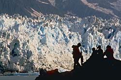
Unit 5: Glaciers and The Work of Ice
Expectations: demonstrate an understanding that the worlds surface is dynamic, in that it is constantly being reshaped (e.g., mountain building, erosion); demonstrate an understanding of the cycle of glacial advance and retreat and its relationship to natural variations in global climate; |
Video Question
sheet |
|
October |
Quiz on glacial
features |
|
|
October 2 |
Expectations: evaluate
physical evidence of past climates in selected areas of |
|
|
October 3 |
Geolab
on Continental Glacial features. Expectations: identify postglacial features in the Ontario landscape and explain how people have derived benefits from them (e.g., aggregates for construction, recreation areas); identify selected physical features on the earths surface (e.g., mountains, rivers, deserts) from different sources (e.g., maps, aerial photographs, satellite images, geographic information systems); |
|
|
October 8 |
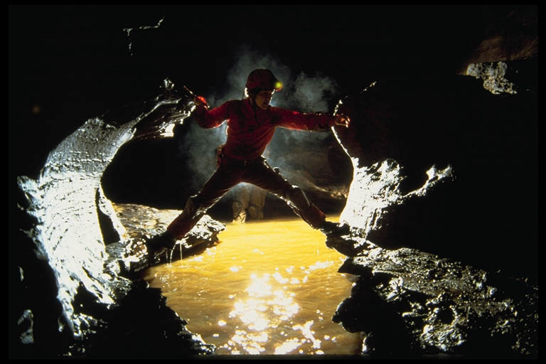
It won't be exactly like this, but you get the idea! |
Field trip to
Expectations: analyze relationships between present characteristics of local landforms and the processes that shaped them; demonstrate an ability to make observations and collect data in the field; analyze data collected in the field, using laboratory equipment or computers, and present the results; produce an independent study that applies data collected through field experiments to a local issue (e.g., waste management, soil loss, forestry, recreation); |
|
October 9 |
Alpine glaciation Expectations: identify and describe the mechanisms of change within the lithosphere, atmosphere, hydrosphere, and biosphere; |
1. Define the following terms in your notes: ice
field, cirque, tarn, arete, horn peak, u-shaped
valley, fiord, hanging valley, medial moraine, ice-dammed lake, and braided
stream. |
|
October 10 |
Rules for drawing contour lines of alpine glacial features |
Jigsaw activity in groups of 5 students |
|
October 14 |
Alpine glacial feature
drawings collected and marked out of 30 Expectations: trace the natural history of an area by using maps, remote sensing data, geographic information systems, and field observations; |
Geolab #3 Activity:
|
|
October 15 |
Continue Work on: |
|
|
October 16 |
Air Photo interpretation of Glacial features |
|
|
October 17 |
Glaciation review |
Glaciation Crossword- (review for test) |
|
October 20 |
Work Period on:
|
|
|
October 21 |
ISP Assignment Expectations: use print and electronic sources (e.g., CD-ROMs, the Internet) to locate information related to physical geography; use written, oral, and visual communication skills to present the results of geographic inquiry and analysis effectively: produce reports summarizing field experiments conducted to obtain quantitative and qualitative data about a local area (e.g., stream discharge rates); |
|
|
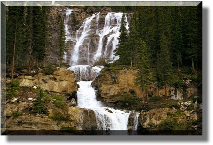
October 22 |
Unit 5: Rivers and the Work of Water. Expectations: explain the roles of volcanoes and river estuaries in providing fertile soils for agriculture; |
|
|
October 23 |
TEST ON GLACIATION AND WEATHERING |
WHAT WILL BE ON THE TEST?
TEST TOTAL approximately /65marks |
|
October 24 |
Stream channel
profile diagrams Expectations: produce a case study in which concepts of watershed management are used to determine sustainable uses of a local environment; |
1. Locate these rivers using
your atlas, and label on a physical map of the world. |
|
October 27 |
Collect
Characteristics of selected rivers assignment mark / 19 |
|
|
October 28 |
Definitions of drainage basin, and tributary. |
Complete |
|
October 29 |
Topographic
features of rivers |
Read pages 185 - 191 |
|
October 30 |
Expectations: distinguish natural short-term variability from long-term trends in historical climate data; |
|
|
October 31 |
Fluvial and alluvial features Expectations: analyse the impacts of selected human activities on their local environment (e.g., farming and soil erosion, vehicle use and air pollution); analyse the effects that human activities in a region or country can have on the natural environment in another location (e.g., acid rain, downstream impacts of dams) |
Geolab #3, Geolab Activity #12, pg. 29, Questions # 1 - 10 |
|
November 3 |
The Red River
Flood at Expectations: analyse damage and casualty risks related to flooding in selected areas and identify factors that increase risk; |
Read pgs. 128 - 129 in your
text. |
|
November 4 |
William Morris
Davis' Classification of Rivers |
Answer Qs. 1, 16 on pages 201 and 203 of your text. |
|
November 5 |
"QUEST" ON RIVERS (half period only) |
Read "Groundwater in York Region" on pages 198 - 199 of your text. Do Q 1 on page 199. |
|
November 6 |
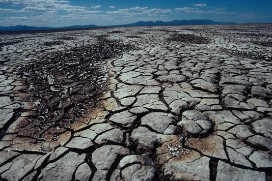
Unit 7: Arid Landscapes |
1. Read pgs. 120 - 123 |
|
November 7 |
Where and why
deserts exist |
Look at the map
of the deserts you made earlier. |
|
November 10 |
Quiz on Arid Landscapes |
|
|
November 11 |
Unit 8: Energy From Below |
Read pgs. 20 - 24 |
|
November 12 |
Andrija
Mohorovicic and the layers of the earth.
Expectations: describe the components of the lithosphere, atmosphere, hydrosphere, and biosphere; describe the components of the internal structure of the earth (core, mantle, crust); |
Click here to see a demonstration of the layers of the earth |
|
November 13 |
The Rock Cycle diagram (review)
Rocks and Minerals of the Earth's
Crust Expectations: differentiate among the major rock types (igneous, sedimentary, metamorphic) and explain their origins; explain why certain geological formations contain rich mineral deposits; |
1. Read pgs. 67 - 83 in
your textbook |
|
November 14 |
Locating the
epicenters of earthquakes Expectations: analyse the effects of environmental hazards (e.g., earthquakes, hurricanes, landslides) on human activities; |
Locate the
epicenter (handout and internet assignment)
Did you know that there are |
|
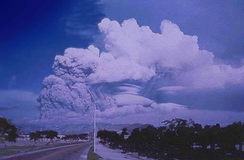
November 17 |
Three types of
volcanoes Expectations: demonstrate an
understanding of the trade-offs for humans living in areas subject to natural
disruptions (e.g., coastal zones, slopes of active volcanoes, regions of
tectonic activity such as |
Earthquakes and Volcanoes crossword
|
|
November 18 |
Plate
Tectonic Theory Write a comparison between the "Convection cell" theory as proposed in your textbook and the "Chemical energy" theory as proposed in the article. Expectations: explain the role that convection currents are believed to play in the motion of the earth’s crustal plates; Did you know that Plate Tectonic Theory was
developed by a Canadian Geophysicist by the name of |
Read pgs. 86 - 92 in your
textbook. |
|
November 19 |
Four types of
plate boundaries Expectations: characterize the differences between continental and oceanic plates and demonstrate an understanding of the processes at work in the boundaries between them; |
|
|
November 20 |
Zones of Inactivity: Shield Areas Expectations: predict both positive and negative impacts of tectonic change and climate change (e.g., earthquake risks, temperature increases) on their local community. |
|
|
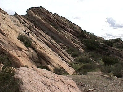
November 21 |
Folding and
Faulting |
Important Homework: Build a delicious, edible volcano with your group members, and bring in the finished product next class for our party!! |
|
November 24 |
Plate Tectonic
theory and proofs Expectations: explain the physical evidence found on the surface of the earth and at the bottom of the oceans that supports the theory of plate tectonics; interpret the spatial relationships between mountain ranges, occurrences of earthquakes, and tectonic plate boundaries and explain the processes believed to be at work; |
Read pgs. 86 - 92 in your
text. |
|
November 25 |
Click here to find out more about This
is the famed Jason Project where students in |
Complete geolab activity for homework Click here to find the instructions for these cross-sectional profiles now. |
|
November 26 |
|
Geolab #2, pg. 6, Questions 1 - 11 |
|
November 27 |
Unit 9: Energy From Above Expectations: explain the concepts of heat balance and circulation, using local examples like driveways, lawns, and water bodies; demonstrate an understanding of the differences between local weather and global climate; |
|
|
December 2 |
The 6 factors affecting climate Expectations: explain how climatic controls act upon the elements of the atmosphere to produce the climatic zones of the earth; |
|
|
December 3 |
Latitude and ocean currents and their impact on climate Expectations: explain the
role that oceans and ocean currents play in moderating climate, using
examples of major cities at similar latitudes (e.g., |
|
|
December 4 |
Winds -
Atmospheric circulation Expectations: analyze
patterns of significant ocean currents (e.g., |
|
|
December 5 |
Location of
mountain chains around the earth Expectations: analyze the global distribution of major physical features (e.g., Ring of Fire, mountain systems, tectonic plates) and determine reasons for the observed distribution patterns; |
|
|
December 8 |
Top secret - Are you a climate detective???? |
|
|
December 9 |
Types of
precipitation Expectations: demonstrate an
understanding of the origins, distribution, and frequency of different kinds
of storms (e.g., frontal depressions, hurricanes, tornadoes, thunderstorms)
that affect |
|
|
December 10 |
Video: Tornado Chasers! (Please do not try this at home!) |
|
|
December 11 |
Video: Hurricanes Expectations: explain current methods and technologies used to track and predict weather, including dangerous phenomena such as hurricanes, thunderstorms, and tornadoes; |
|
|
December 12 |
Comparison of Tornadoes and Hurricanes |
|
|
December 15 |
The Ice
Storm: |
|
|
December 16 |
Convectional
Precipitation: Thunder, Lightning and Hail |
|
|
December 17 |
Urban Microclimates Expectations: analyze the impacts of urbanization and industrialization on hydrology; |
|
|
December 18 |
SOILS Expectations: identify and describe the mechanisms of change within the lithosphere, atmosphere, hydrosphere, and biosphere; demonstrate an understanding of how soils are the result of long-term processes (e.g., erosion and chemical and mechanical weathering) acting upon parent material. |
|
|
December 19 |
Vegetation patterns |
|
|
January 5-7 |
Geolab: Tropical Rainforests: Future Wastelands
Expectations: evaluate the impact of deforestation and the burning of fossil fuels on the carbon cycle; explain the impact of acid rain on a selected region; identify local, regional, and global issues related to physical geography; analyze the long-term effects of human use of a distinctive ecological zone (e.g., desert, tundra, tropical rain forest); |
|
|
January 8 |
The Compartment Transfer Model: An Alternate Biogeography Expectations: identify the interconnections between natural systems (e.g., natural vegetation, climate, wildlife) within selected ecosystems; explain the relationships that link global patterns of landforms, climate, soils, and vegetation to each other; |
|
|
January 9 |
Exam Review |
|
|
January 23 - 29
|
FINAL EXAMINATIONS GOOD LUCK! |
|
|
|
~Last day of school~ |
|