Slide 4 - M-26 on the Keweenaw Peninsula |
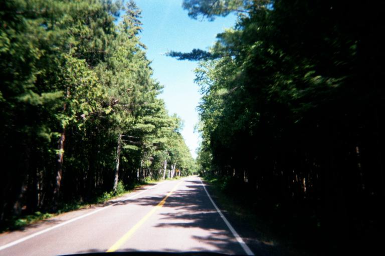 |
| M-26 in its northernmost reaches follows the Lake Superior shoreline quite closely but dives back into the wilderness such as in this shot. The asphalt is slightly reddish and I'm not exactly sure why. (Local materials mayhaps?) |
Slide 5 - US-41 and M-26 junction in Copper Harbor |
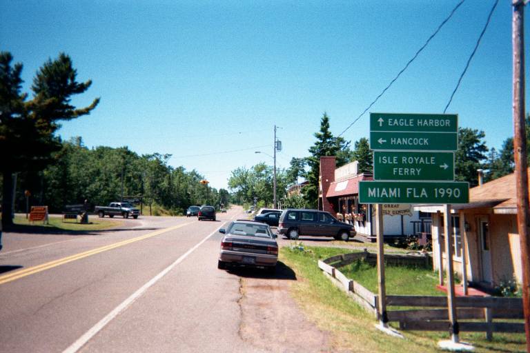 |
| Nothing but a 4-way flasher is needed to regulate the traffic at the end/beginning of M-26 and US-41 in Copper Harbor. Miami is just so close.....on a similar sign coming into Copper Harbor from M-26 the arrow to Hancock originally pointed the wrong way (right into the Harbor....whoops) until they painted over the mistaken arrow and put another one. |