Vik, Iceland
July 26
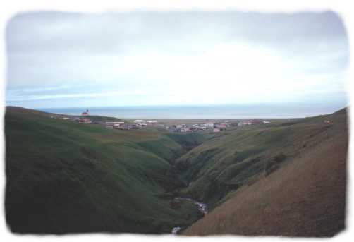
Vik lies to the east of
the Reynisdrangar (previous page). As you can see in that photo,
the road did not follow the coast, but it turned inland and climbed up
and over the ridge to drop down again to the sea and Vik. Unfortunately,
the sunny weather did not stay. Vik was windy and cool, but it was
not raining, which is something of a rarity for the rainiest town in Iceland.
The campground is set up for grim weather.There is a large glassed in day
room with cooking facilities, showers and a laundry. I took a walk
on the beach and a stroll through town (population about 500). For dinner,
cheese, crackers, cocoa, coffee and freeze dired lasagna. In the
event of an eruption of the Katla volcano under Myrdalsjökull, Vik
lies directly in the path of what could be a huge flash flood (jokullaup)
of melted glacier. So much so that the town has had evacuation practice
this summer.
For more information on Katla,
see the Nordic Volcanological Institute.
Copyright © Scott Schuldt, 2000
Last updated; January 2000