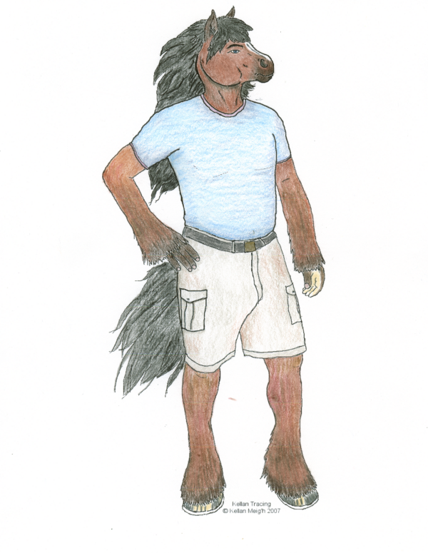
OK, I'll start with a colorized sketch of Kellan hisself. 24 lb. inkjet paper, Prismacolor pencils, Visioneer 9420 USB flatbed scanner and PSP7. |
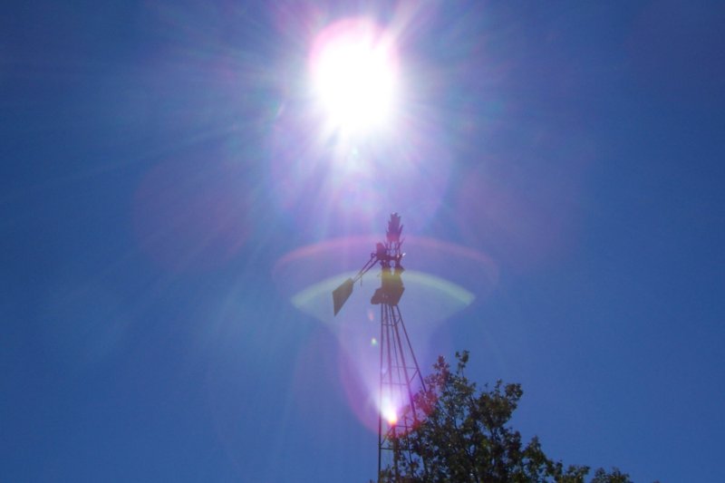
Here's afew pics taken at Sunol Regional wilderness in September. Note that all of these were taken while on horseback! The first one is the windmill at the High Camp |
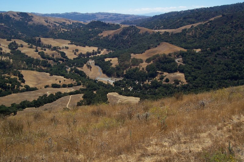
This is the park and valley floor from Flag Hill. For those who use Google Earth, the coordinates for our vantage point where I took the picture from is 37�31'26.10� N 121�49'57.46� W Elevation 1,350 ft plus 1 horse, average size. |
The next one is the Hayfield Road, headed back to the park. |

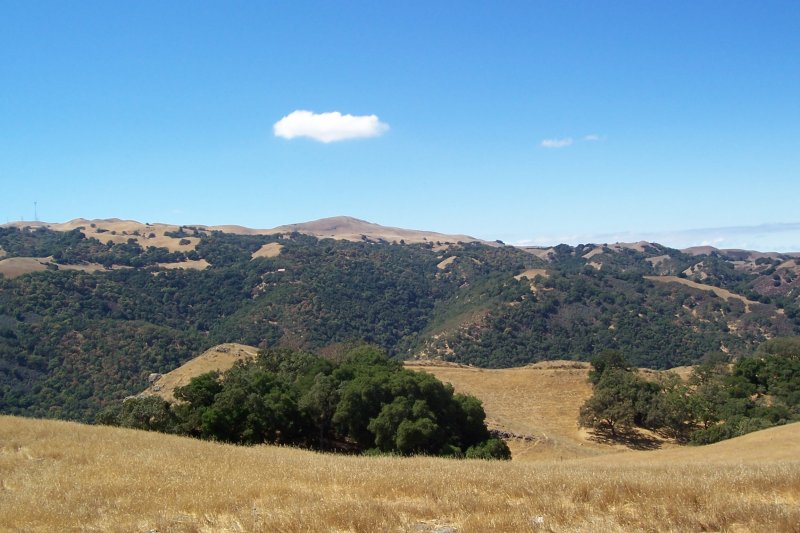
And the last one is a panorama from below Flag Hill, about 1200' above the valley floor. |
To our site!
(OK, please don't break the counter!)