The Valle Vidal and Shuree Ponds
Home Sandstorm The Zacky Page The TyBear Page The Fishing Hole

Back
Up

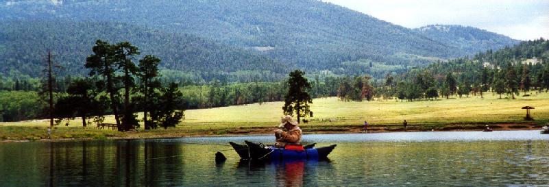
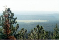
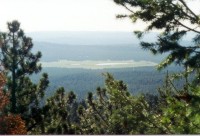
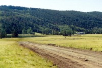
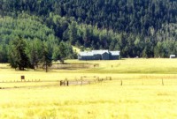
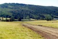
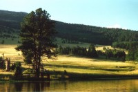
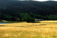
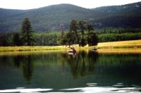
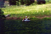
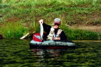
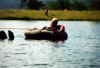
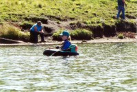
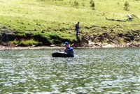
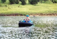
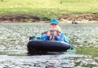
Click here for a PDF format map of northern New Mexico showing the Shuree Ponds.

These photos were taken in 1999 and 2000 during trips to the Shuree Ponds in the Valle Vidal unit of the Carson National Forest.  You can click on the images for a larger (800x600 pixel) image.


Me, doing my favorite thing.

The view from the top of Windy Gap.

Another view.

The upper pond and lodge building.

The lodge building - used by the forest service and G&F.

The upper pond.

Some pretty evening scenery seen from a float tube.

The lodge and ponds near sundown.

Todd casting from his tube.

Fish on!!

Bringing him in.

A nice fat rainbow.

Time for an after lunch nap.

April in a tube.

The water was a little rougher this day.

Another nice rainbow.

I think she's proud of herself.


Hosted by www.Geocities.ws

1