Mt Dale Campsite
May, 2000
The Mt Dale Campsite on the Bibbulmun Track is very close to Perth, Western Australia. The carpark to the campsite is on Mt Dale Road, only about half a kilometer from the Mt Dale picnic area and the top of Mt Dale, where there is an observatory. I took the Brookton Highway turnoff from the Albany Highway in Armadale and then about 20 kilometers later took a left turn up Ashendon Road. Ashendon Road is a dirt road that I'm afraid suffers a bit from road-ripple. About 5 kilometers along Ashendon Road, Mt Dale Road T intersects from the right. About 12 kilometers along Mt Dale Road and well sign-posted, I could clearly see where the Bibbulmun Track crosses over. The Mt Dale Campsite lies about 3 kilometers walking distance from this point in a southerly direction.
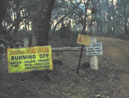
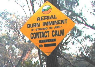
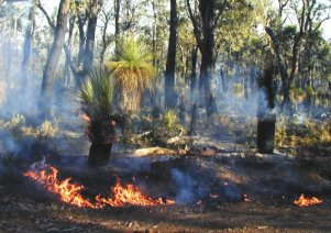
CALM (Conservation And Land Management) were having a burn-off and the air was filled with smoke. The major part of the fire had died down but there were these little outbreaks here and there, that were a bit of a worry
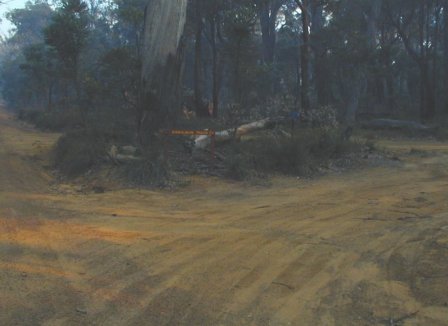
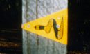
Left. This is where the Bibbulmun Track intersects Mt Dale Road. You can just see the sign through the haze.
Right. The reason why these photos are a bit dark.
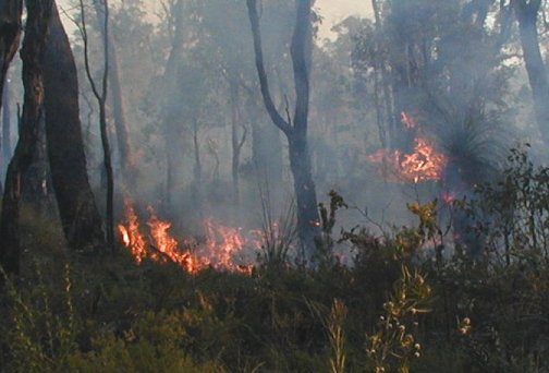
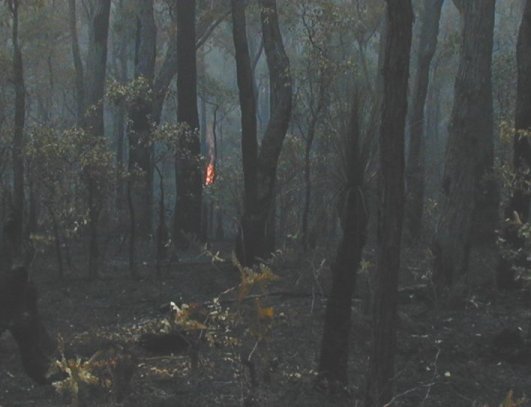
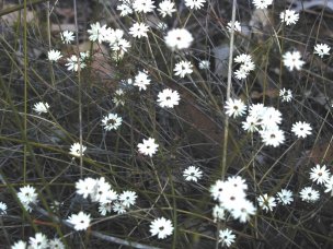
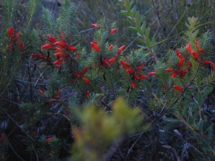
Only the western side of the track that followed a restricted bush road was burned. The eastern side and at the point where the track branched off into the bush was not burned at all. But the smoke was bad. Aren't we lucky in Western Australia to have such beautiful wildflowers, the two lots above are flowering in Autumn. If you like wild-flowers go in spring, it'll blow your socks off. Email me if you know the names of these flowers. That fire in the picture on the right gave one big crack then the whole tree went up.
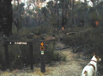
A left turn here to the campsite, its quite a way from the main track. The campsite is at the foot of Mt Dale but not on Mt Dale. Mt Dale, the highest peak in the Darling Ranges can be seen in the near distance.
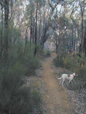
Right. The bush track section had not been burned at this stage. The track was an easy walk, no real difficult parts.
A year ago, a few weeks after my heart attack, I had to stop several times for a breather on this track. I thought that I was going to die. I then thought that it was terribly steep.
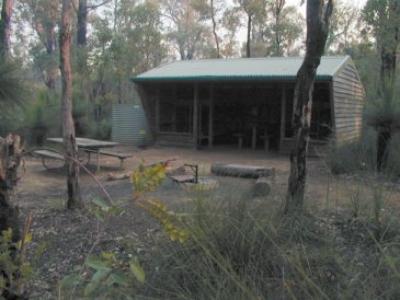
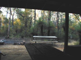
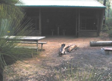
Left. This campsite is a credit to who ever maintains it. Neat and clean.
Left: Back to the Index page.
Right: On to the Brookton Campsite.