Mt Cooke Campsite
June, 2000
Mt Cooke at 582 meters is the tallest mountain in the Darling Range. The Bibbulmun Track goes up and over Mt Cooke. There are basically two peaks, the north peak and the south peak. The Mt Cooke Campsite is well within the boundaries of a disease risk area and therefore all nearby roads are either blocked off or require a permit to pass. One could walk in from Sullivan's Rock that is just off the Albany Highway about 32 kilometers from Armadale.
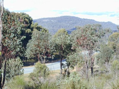
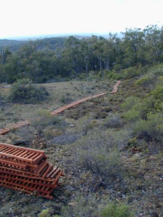
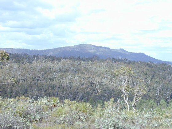
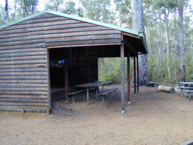
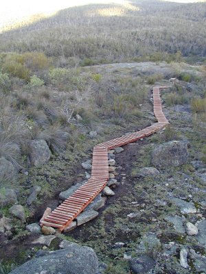
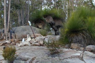
Above left: view of Mt Cooke from Mt Vincent. Above centre:view of Mt Cooke from Albany Highway. Above right: constructing a walkway on the north side of Mt Cooke.Below left; constructing a walkway on the south side of Mt Cooke. Below: the Mt Cooke Campsite, this guy wasn't very friendly so I didn't go back.
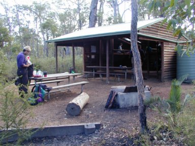
There was a group of about 12 spending the night at Mt Cooke Campsite. Mostly dads and their sons.
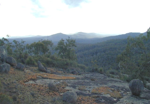
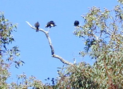
Above left: Mt Vincent and Mt Cuthbert as seen from Mt Cooke. Above: part of a flock of 50 black cockatoos (at $100,000 each in Japan - that's 5 million bucks!). Right: an overhanging rock, but not the rock cave.
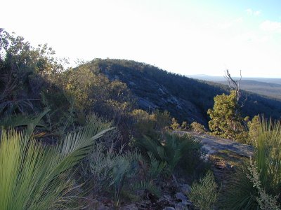

Above left: The summit, the rock cairn needs a few more rocks. Above centre: view of the north summit from the south summit.
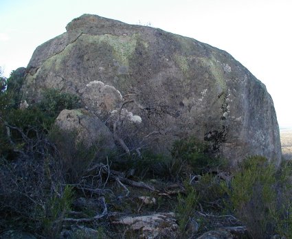
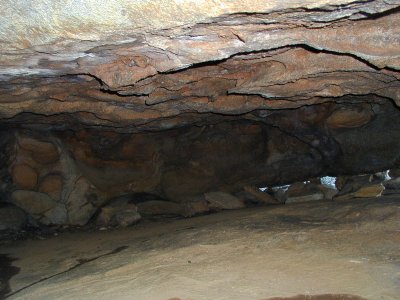
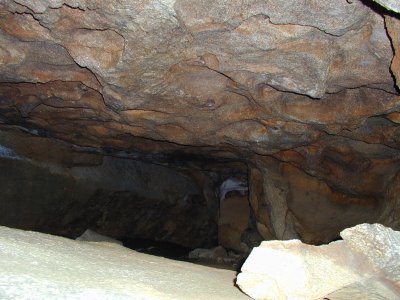
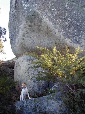
Above right: the entrance to the rock cave. Left: the cave is under this rock. The rock is just on the south downward slope, just past a stand of buttergums (skinny white-barked trees) and about 25 meters east of that wooden track they are just installing (see above). The rock is just a few meters east of the Bibbulmun Track. Below: views from inside the cave.