Nerang Campsite
June, 2000
The Nerang Campsite on the Bibbulmun Track may be almost impossible to reach for day trippers. This is because there are no proper roads close to the campsite and all half decent roads have been closed off.
I accessed the Nerang Campsite via Mt Cooke Road. The Mount Cooke plantation on the Albany Highway, about 40 kilometers from the Armadale turnoff, is not in a forest disease risk area. After having parked on Mt Cooke Road inside the Mt Cooke plantation, I walked the 7 kilometers along Mt Cooke Road to the Nerang Campsite. There are no signs here prohibiting entry. I could have driven to within 200 meters of the Nerang Campsite as dirt roads just go around the roadblocks and fallen trees.
The Bibbulmun Track to the Nerang Campsite is mostly flat and for all but the last 200 meters it follows Mt Cooke Road. Mt Cooke Road is supposed to be closed off but somebody has been driving there.
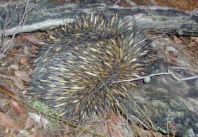
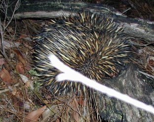
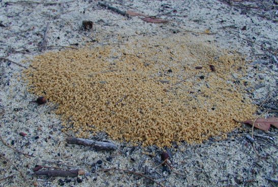
I met an echidna on the way. He dug his toes into the earth as hard as he could. I found these strange piles of orange sand on the white sand. They were like anthills without the ants. What caused them?
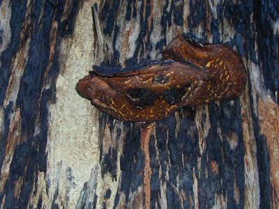
Left: some fungus on a tree (it was a low photo day).
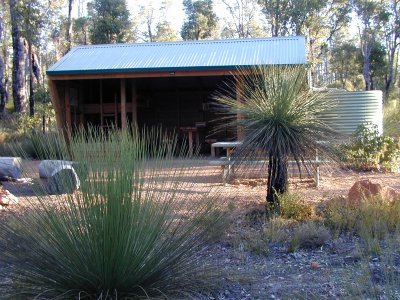
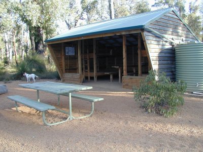
Right: the Nerang Campsite.
Left: the Nerang Campsite.
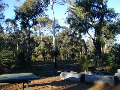
Right: view from inside the Nerang Campsite looking out at what the guidebook says is a wandoo flat.
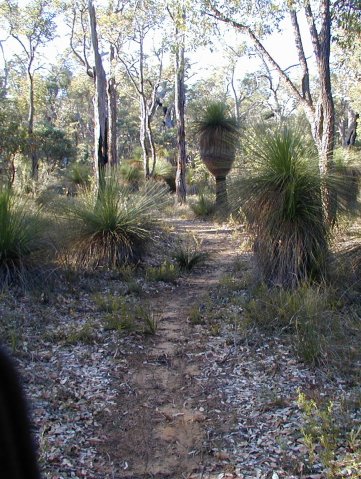
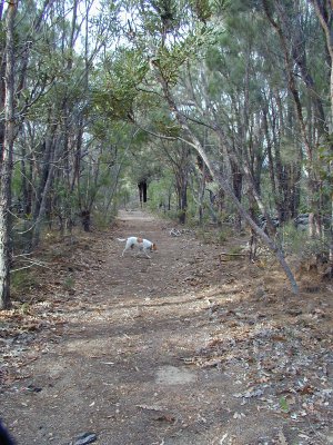
Left: almost at the Nerang Campsite.
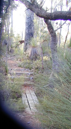
Right: small footbridge near the Nerang Campsite.
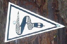
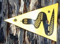
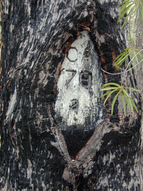
Below: a marker tree. This one is about half way between Nerang Campsite and Mt Cooke.
Left: most of this part of the Bibbulmun Track is like this.
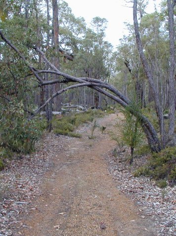
Right: a natural arch is forming on the Bibbulmun Track.
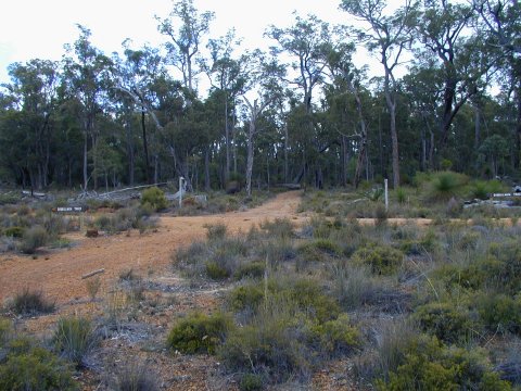
Top: Mount Cooke Road and Powerline Road meet here.