HIGHWAY 260


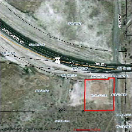
2.97 roughly 3 acres before the bypass was built. Now it has about 2.37 acres, 103,268 sq ft after redaction by SR 260's easement. 25,817 sq ft building on one story allowable by town's 25% building coverage rule. The schematic drawing above shows 20,000 square feet with sufficient parking. The adjacent lot to the right that Oasis Road travels across is also Town property that can be used for parking or ingress/egress. There is a 30 foot wide strip between the main lot and the edge of Oasis road on this piece of Town property. The land is relatively flat. It was purchased by the Town when the Chamber was wanting it for their new location, but when the town acquired Custard�s Last Stand restaurant and remodeled it, the Chamber was relocated to that site and this land has been setting idle.
This site has an excellent view of the Verde Valley setting up on a hilltop. It has the view that the Cliff's was supposed to have had. One can see the Redrocks of Sedona, the Mingus mountain range and large parts of Camp Verde from the site.
It is along route 260 with 45 mph speed limit in front. To the side on Oasis Road speed limit is 25 mph increasing to 35 mph as one approaches Salt Mine Road at the bottom. There is a turn lane off 260 making for easy access by vehicle. Traffic noise is not excessive to be a bother. Walking to the site is not particularly easy not having a light to get across 260 real close.
There is no water or sewer now on the site. There is a sleeve under 260 for the sewer and water already in place. I am told the neighbor across the sreet on Oasis is interested in sharing the cost of water and sewer if we build here. There is the option of a well being drilled and possible septic installation.
Parking would be adequate at the site up to 25,000 sq feet easily possible.
The site is not close to neighboring civic events or parks but it is the site with the most cars past it per day and has the potential of being the site to increase circulation the most. It is near to where General Crook Trail joins the bypass making easy access of the freeway also. There is
enough land on the site to have a small outdoor area for children to play and have small outdoor events for all ages.
Neighboring land is owned by the State of Arizona and the National Forest Service. The best view is across 260 so would not likely become obstructed by any construction in the area.
Look at all the sites. See which one(s) provide the best accessability and give us your
feedback on the Play the Library Pick page. Thank you for your participation. Scroll down.