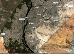
Here are maps of Cairo and Medinat Nasr, taken from a satellite. The images are from Google Earth imagery tool. This is a really nice program that downloads satellite images of anywhere on the Earth for you to see (needs a fast broadband connection). The images are a few years old but very interesting.
Click here for the Google Earth website.
(Click on any of the pictures below for larger images. You may need to use the scroll bars at the sides of the browser to see all parts of the images as they are big)
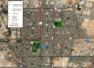
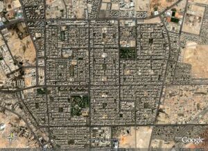
The first set are for Medinat Nasr. Showing the positions of Fajr, Al-Diwan and Qortoba schools. As you can see the main Fajr centre is away from the centre of the town, but close to the tram line.
It also shows the main shopping centres (1,3,4 are decent, 2 is expensive), parks and the main high street Abbas Al-Akad. The biggest park (7, Hadeeka Dawliya) has a cinema complex and childrens activity playground (bouncy castles, huge slides etc) next to it.