Winter:
About 2 miles north of I-10, I started seeing camps on the river side of the road. They seemed intrusive and out of place. I guess it is private property and I support a person's right to it. But, it seemed shameful and it blocked my view of the river. It was not until I got to the bridge that I had a clear shot of the water.
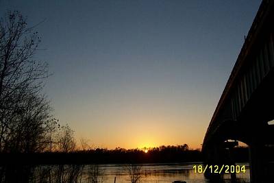
The river was running fast. Whrilpools formed as it passed the bridge supports. The Atchafalaya is a scary river. This, the Whiskey Bay Channel Bridge, was undermined back in 1973 and had to be shored up with a lot of cement. It was almost taken out by the flood waters. You can see the water stain high on the pilings still today. |