 |
 |
 |
 |
 |
 |
 |
 |
 |
 |
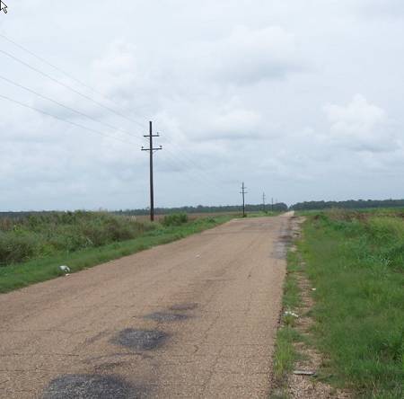
| At Whiteville, I turned east on WPA Road. For those not familiar with the history of the WPA during the Depression, here's a link They built this road. It goes across the old right of way for the SP Railroad. |
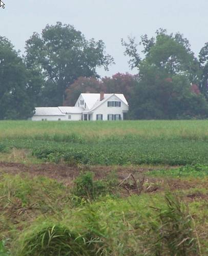
| I cast down the ROW seeing this large, fine, farm house. With a jerk, I reeled it in. Now it's mounted below. |
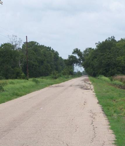
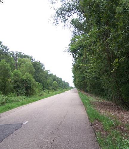
| WPA is straight, but has intrigue. |
| One intrigue is, "when will it end"? |
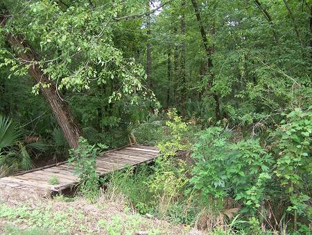
| This is the backswamp of Bayou Wauksha formed with the addition of Red Bayou. Wauksha, Boeuf and Cocodrie roam this area. |
| The dampness spawns palmetto forest. The bridge is for 4 wheelers carrying hunters. There are deer in this narrow protected strip. The rest is open agrarian lands drained of their wilderness supporting waters. |
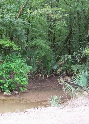
| The fanned plant on the bottom right is a palmetto. Such a beautiful plant. Roots to China. |
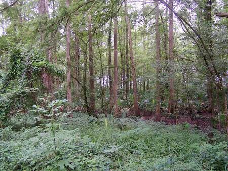
| Big Foot, maybe. |
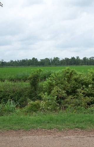
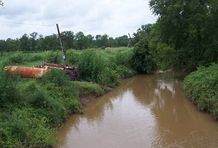
| An open area is planted with rice. |
| Water for the rice field is being taken from the Wauksha by the tractor's power take off connected pump. An electric meter seems to suggest a previous motor driven pump or maybe that's for the new upgrade. Coming. |
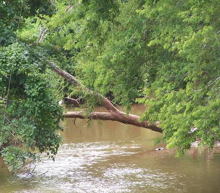
| This is where I talked to the very intuitive fisherlady. That is not her line in the left of the picture. Her cast were strong and well aimed. "Plunk", I love that sound and I don't fish for fish. Maybe my "plunk" is the click of the camera? |