 |
 |
 |
 |
 |
 |
 |
 |
 |
 |
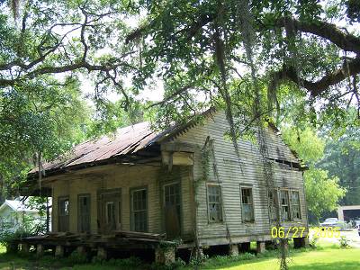
| The following week I was back and had an urge to see the Gulf. This website is powered by urges. From the town of Pearl River I got on I-59 and went down to I-10 and turned west. I hate Interstates but it wasn't that bad. I guess I hit it at a good time. I took I-10 across the Pearl River entering Mississippi. I exited I-10 onto MS 607 and then followed MS 604, I think back into Louisiana (no I didn't). A sucker for old rotting houses had me stopping here in what I believe was Pearlington. I do have an idea where it got its name. |
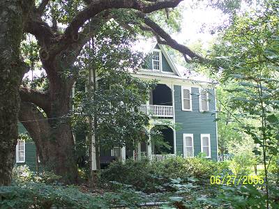
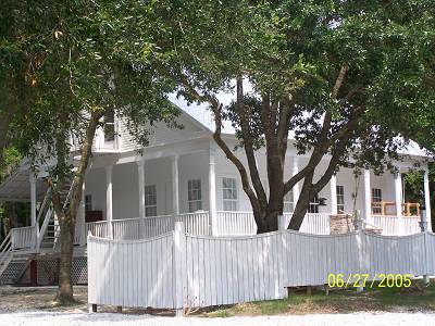
| There were maintained beauties along the way, also. |
| This one was getting a fresh coat. I thought white to be just right for this old girl. |
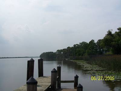
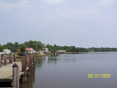
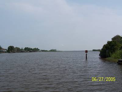
| I turned the corner and I was back at the river. This is the Pearl River. There is a West and a Middle. There is also a West West and an East West. And, a Middle River and a West Middle and an East Middle and an Old Pearl River. She's a little changed from some of my other pictures of her. Grown up.... |
| and gotten popular... |
| as a good place to hang out, fish and eat. |
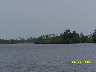
| I screwed the lens tight on the camera and this was what I was looking for. It's the US 90 bridge. I think Old 90 puts that 66 thing to shame. For darn sure it goes through prettier country. |
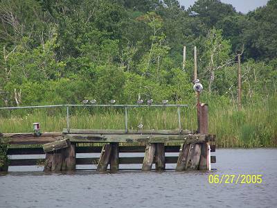
| I came from the east side over here, the west side, because if boots were made for walking, bridges were made for crossing. And, that's just what I did. This is the parking lot for the boat launch. I got a lot more lot than I wanted to but sometimes you miss your best shot. (written@12:05 a.m., sorry) |
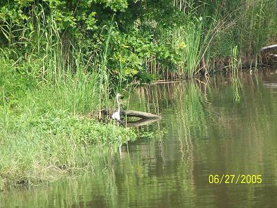
| A pelican, the La. Bird and it's babies. No. It's a spot light and some gray/white birds. I could have lied. |
| Good-bye Pearl. It's been great. Say "hi" to Lake Borgne, really the Gulf but considered a lake. The three sisters are Lake Maurapas, north of I-55. Lake Ponchartrain is south of I-55. Borgne is south of the Rigoletts. |
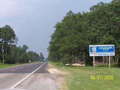 |
| I crossed back across what I thought was the Pearl River and evidently it is. It was a ways before I saw the "Welcome to MS" sign. The pavement change made me think that it was actually the border. I thought the Pearl was the border. I have studied the MS map and the LA map to see if there is a disagreement. No, both maps give Pearlington to MS. The bridge was just west of the 604/90 intersection so it couldn't be the Middle River as I had thought. It was the Pearl. I give up. I headed on into Mississippi, again. Maybe. Was I in the Twilight Zone? The Pearl River has a delta which starts just south of Pearl River, La. All those names above make up that delta. The delta, I think, belongs to Louisiana. The delta is anything west of the actual main Pearl River which is actually the East Pearl if they had bothered to name it correctly. Being owned by both states I can see the problem. Instead of commonly saying the "Pearl River marks the boundary", the two states would have to say that LA owned the west side of the East Pearl and MS owned the east side of the East Pearl, both to a point where the East Pearl is no longer the East Pearl but "the Pearl". I personally know the LA legislature would become confused, disoriented, for sure, and would have to break for boudin. Fights would surely occur at the Ole Miss/LSU football games. Hell, there might even be duels. Gee, I hope I haven't started anything here. |