| US 171 to La.182 on Horecky Road |
 |
 |
 |
 |
 |
 |
 |
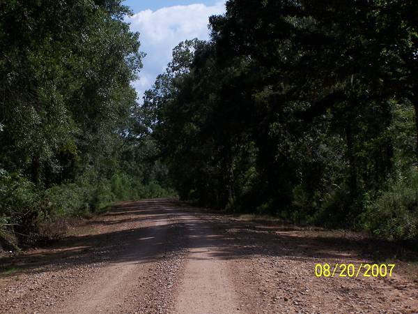
| No road follows Bayou Wauksha above La.10 for very far. They only cross it in two places north of 10. I wanted to check out the first road above that traverses the basin from US 71 to La.182. I headed east to LeBeau on 71 and then turned north to just above LeMoyne. There, I took Lee Richard west to Horecky Road. Any bike can ride it when it's dry. You too, Fred, so no inquiring note is needed. Whew. |
| The GPS said that this was the Wauksha. So, I took its picture. I looked on the other side of the road and there was nothing. I knew I was not at the head waters of the bayou which was my first thought. I've crossed the basin further north and the bayou was in grand form there. What was this, an intermission? I had seen Bayou Rouge go on and off and thought, for a moment, that was what I was witnessing here. No, there was no continuance. I quickly shed the Dr. Livingston persona and moved on. |
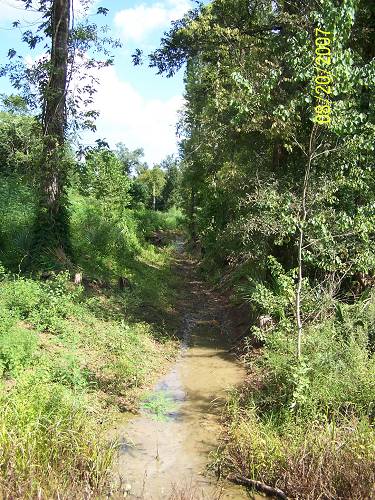
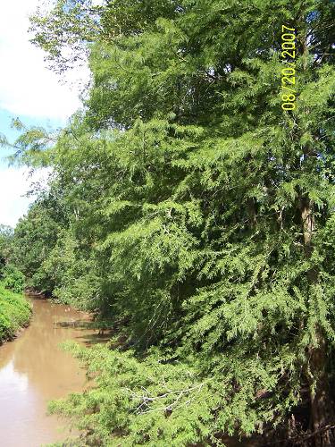
| Sometimes "sense" rules over "technology". Indeed the Wauksha lay ahead. Here's a reminder, this is Louisiana far below Alexandria. I could have told you that this was North Carolina. You never know what's next in Louisiana. |
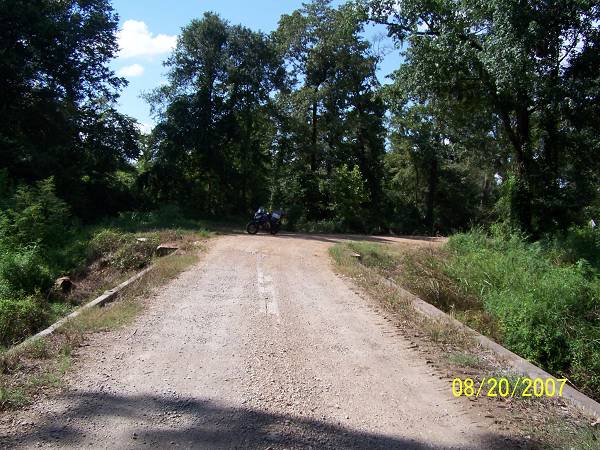
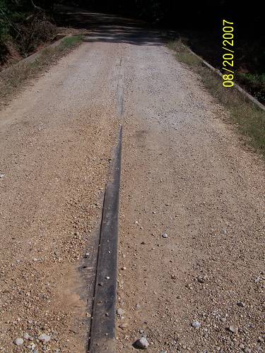
| I found the single rail down the middle of the bridge interesting. You? |
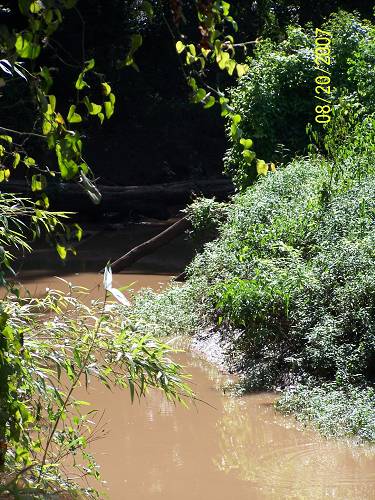
| Remember, we're looking closer on this one. |
| This could be a mountain stream in Washington State if the water was clear and the trees not Cypress. The trees In WA look very simular. |
| Upstream there was a log crossing the bayou. Look closely. |
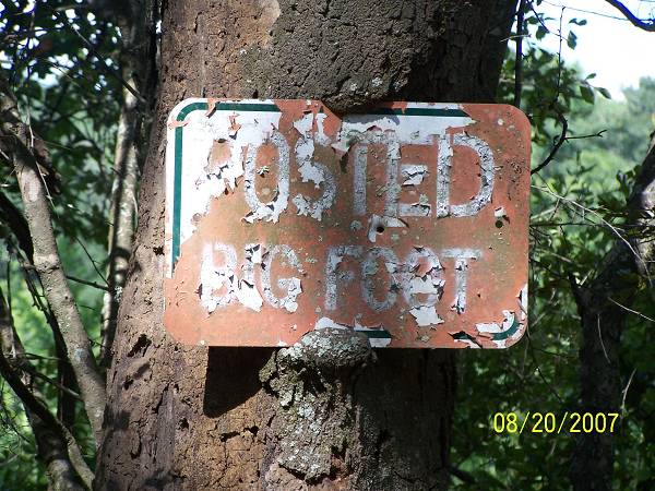
| The sign confirimed my suspicions. Wonder what the sign had been before it was borrowed by Big Foot? |