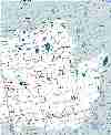
| Maps |
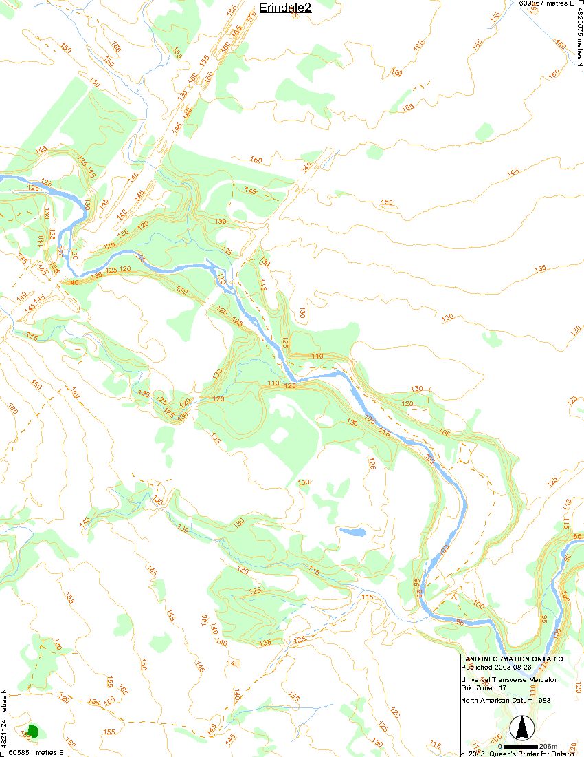
| The Credit River |
 |
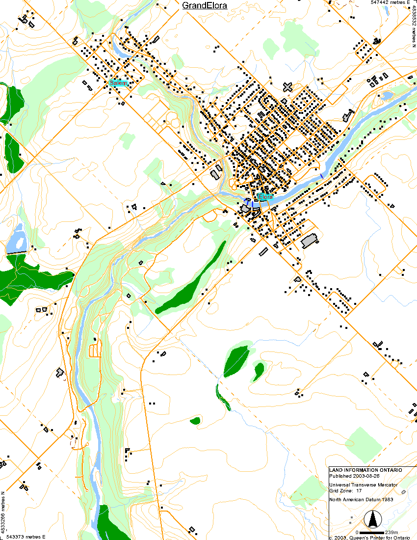
| The Grand River |
 |
 |
 |
 |

|
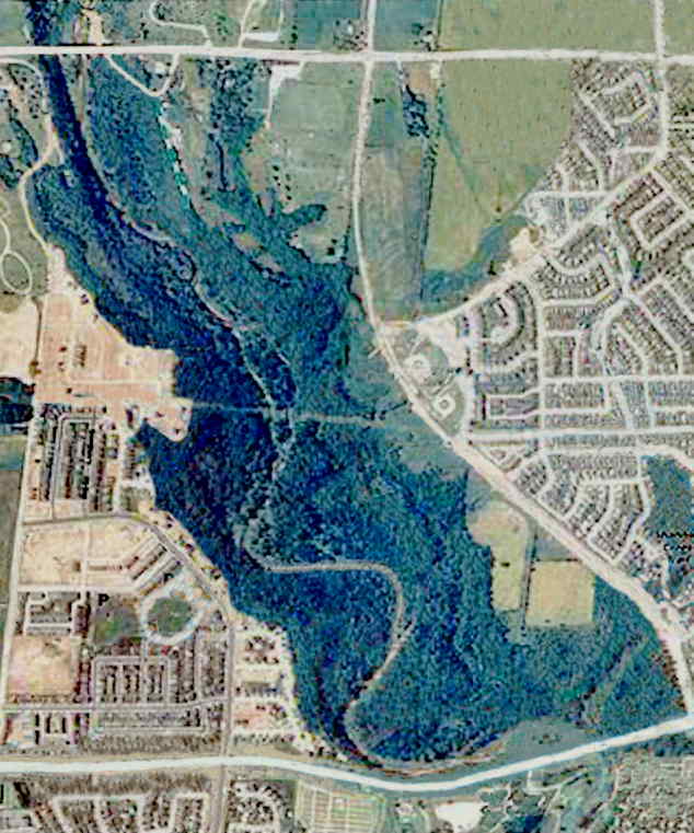
| Oakville / 16 Mile Creek |
 |
| Nottawasaga River |
 |
| Humber River |
 |
| Saugeen River |
 |
 |
 |
| Thames River |
 |
 |
 |
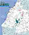
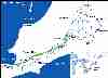
| Other Map Links |
 |
 |
 |
 |
 |
 |
 |
 |
 |
| Maps |
| The Credit River |
|
| The Grand River |
|
|
|
|
|
|
| Oakville / 16 Mile Creek |
|
| Nottawasaga River |
|
| Humber River |
|
| Saugeen River |
|
|
|
| Thames River |
|
|
|
| Other Map Links |
|
|
|
|
|
|
|
|
|