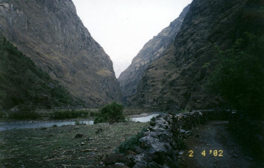
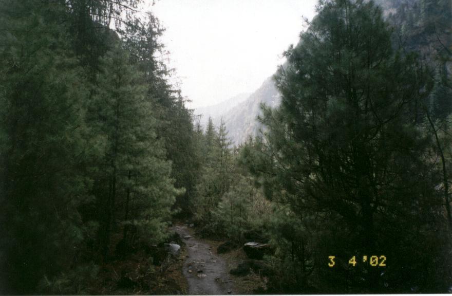
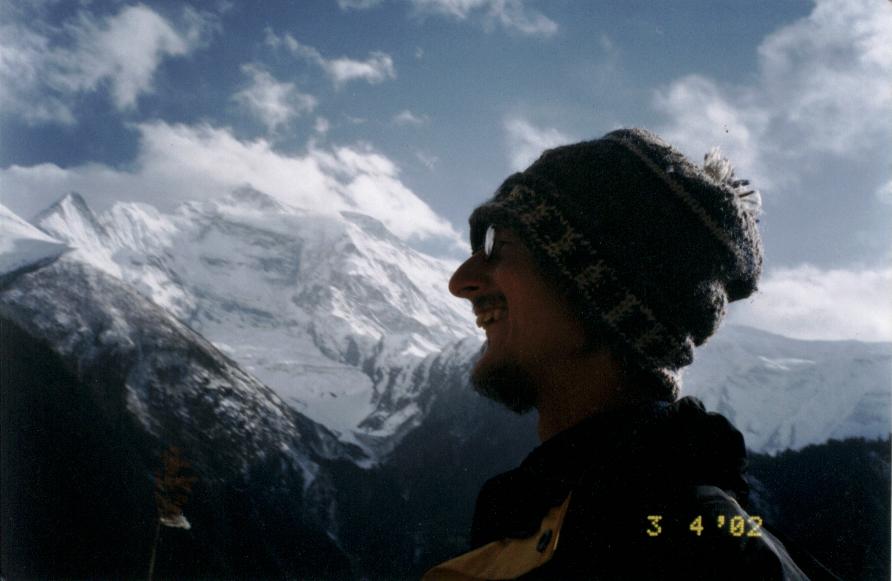
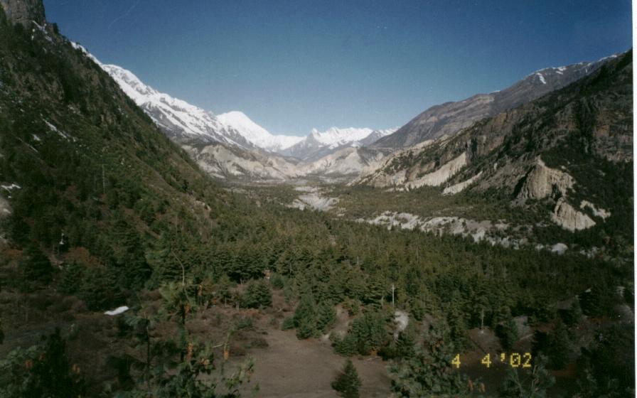
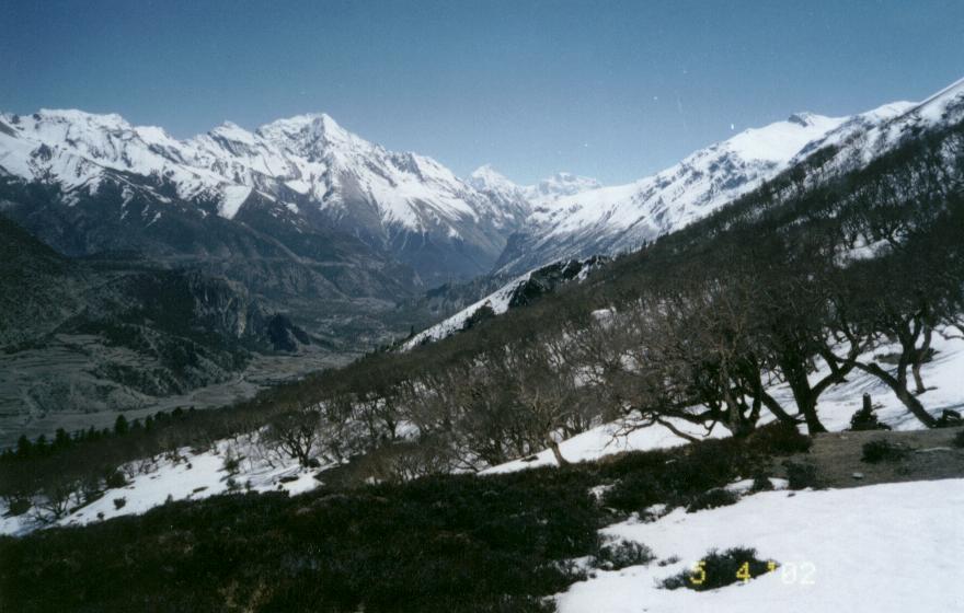
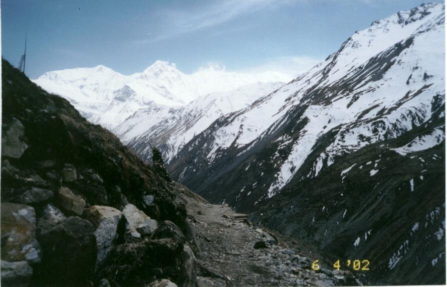
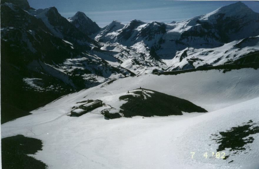
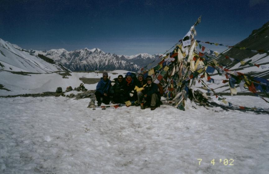
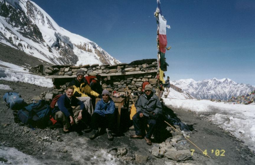
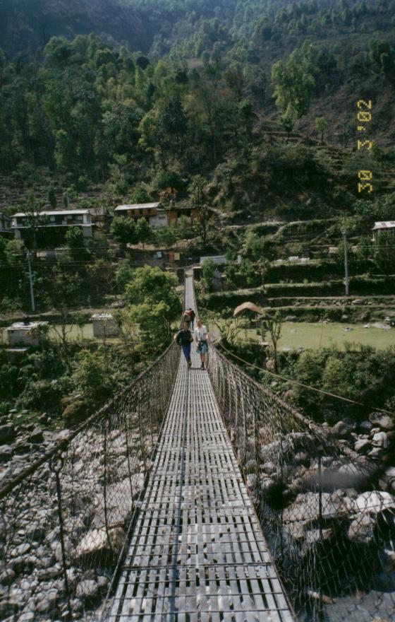
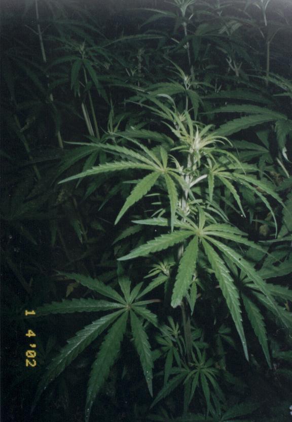
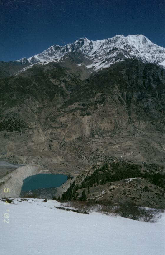
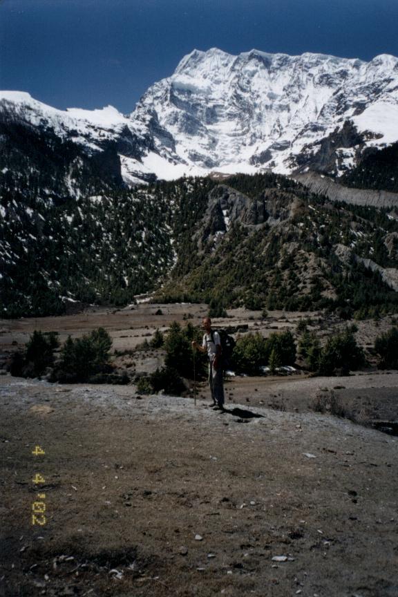
Nepal - The Annupurna Himalaya

A photo diary of my trek around the Annupurna circuit

Click on picture to enlarge, hover for description

After a couple of days trekking from Besisahar (elev. 760m)- the start of the circuit, I reach Tal (1700m) I have to cross some very scary landslides before reaching the calming forests of Chame at 2670m Lower Pisang (3200m) The nights are getting really cold now To reach Manang I have to trek across the most beautiful Norodhara valley (3280m) A view of the Gangapurna mountains from Manang Trekking up towards Thorong Phedi (4590m), the path starts to get very icy, muddy and narrow- scary indeed! Looking down at the last stop before reaching the top. At this altitude I'm having to take it very slow, resting every couple of steps and taking in the whole breathtaking scenery At an altitude of 5416m I finally reach the top, celebrating with a few people I've been trekking with on the way Even at 5416m, you can still find somewhere to buy a cup of tea! 

This was the first of many suspension bridges that I had to cross, this one being at Bhulbhule (840m) At Syanje- 1100m, I spy many interesting weeds growing A days rest ot Manang (3540m) enables me to explore the surrounding area, including the Gangapurna lake Mungji (3330m) 

next page

Hosted by www.Geocities.ws

1