War Plan Orange
US War plans for possible actions against Japan.
Scenarios
| Blue vrs. Orange: The Early Years, 1906-1914 |
|
Phase I |
The Invasion |
|
|
Day of Infamy—Orange initiates action against Blue targets in the Pacific. |
|
Phase II |
The Counter-attack |
|
|
The Western Base—Early plans to counter Orange with a strong fortified base in the Pacific, 1906. |
|
|
The Through Ticket—Blue counters Orange through a direct attack upon the Philippines, 1908. |
|
|
Step-by-Step—Blue stepwise advance through temporary bases throughout the Pacific, 1911. |
|
Phase III |
The Counter-offensive |
|
|
On to Ryukyus—Blue assumes the offensive into the Orange sphere of influence. |
More Scenarios
The Valour of Ignorance—Homer Lea's 1909 vision of the Japanese invasion of San Francisco.
The Great Western Base—The Battle for Guam, Apr 1914.
Fortress Guam—Rear Admiral Coontz vision for an American Gibraltar
Through Ticket to Manila—The Thrusters plan to recapture the Philippines, Jan 1925
The Ladder to Japan—Blue asserts control of the Far East, Jan 1928
Dumonquila Bay—The Grand Battle for the Philippines, Jun 1928
The Royal Road—July 1934
The Mandate's Campaign—Oct 1935
The Defense of Pearl Harbor—The Defensivists plan for the defense of Oahu, May 1938
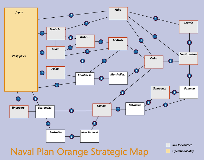
Strategic Map
Naval Plan Orange Strategic Map—Strategic Map for extending Naval Plan Orange to include the entire Pacific Theater of Operations.
Pacific Theater Operational Maps
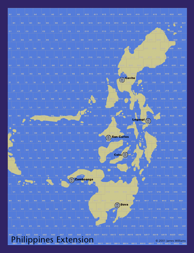
Philippine Island Extension—An operational map that extends the NPO map to include the entire Philippine Islands.
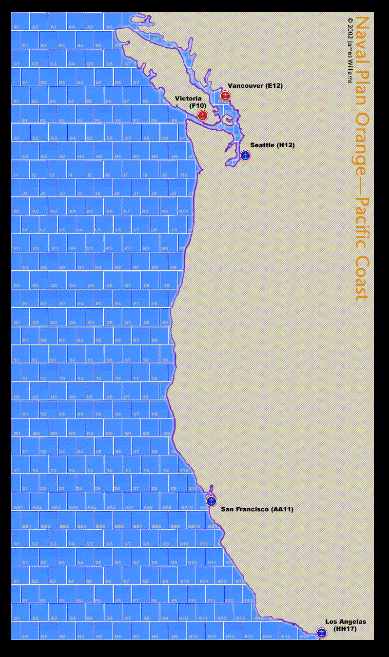
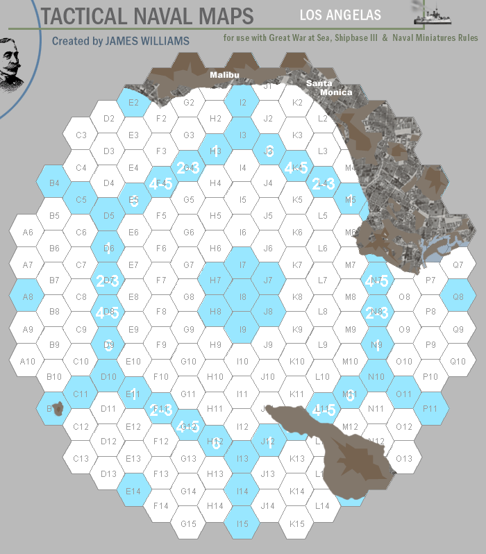
Pacific Coast—An operational map of the Pacific Coast of North America from Victoria to Los Angelas.
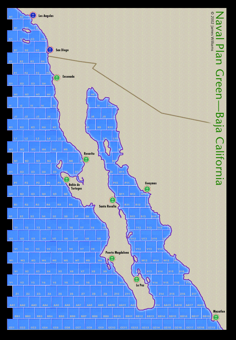
Baja California—An operational map of the Pacific Coast of North America from Los Angelas to Mazatlan.
Extended Pacific Theater Operational Maps
These maps overlap each other as well as the Philippine Island extension and the SOPAC map of the Solomon Islands. During the period of the Colored War Plans the bases and ports in this area frequently changed hands and there was much speculation about the use of temporary and potential air bases. As a result no ports and air bases are represented on the maps. Use of counters for ports and air bases is recommended.
Mariana Islands—Extended Pacific Theater operational map including the Mariana, Bonin and Volcanic Islands.
Caroline Islands—Extended Pacific Theater operational map including the Yap, Truk and Pohnpei groups of the Caroline Islands.
Marshall Islands—Extended Pacific Theater operational map including the Marshall, Gilbert and Wake Islands.
Palau and Indonesia—Extended Pacific Theater operational map including Palau and parts of the Indonesian and Philippine Islands.
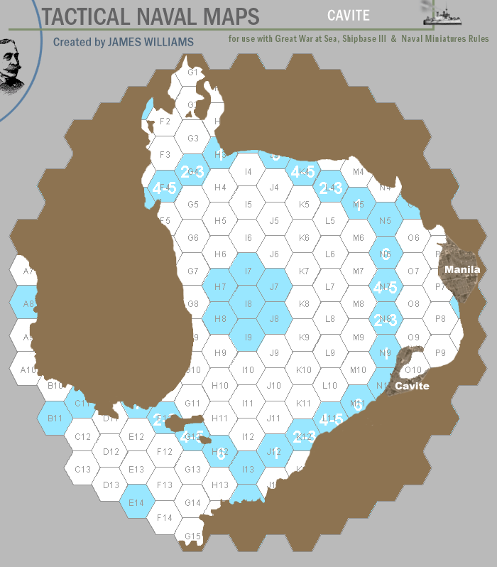
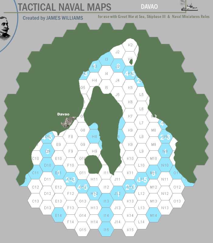
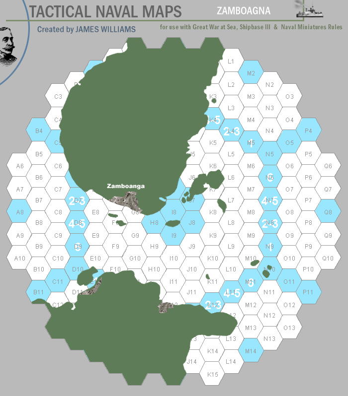
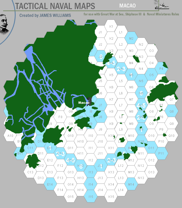
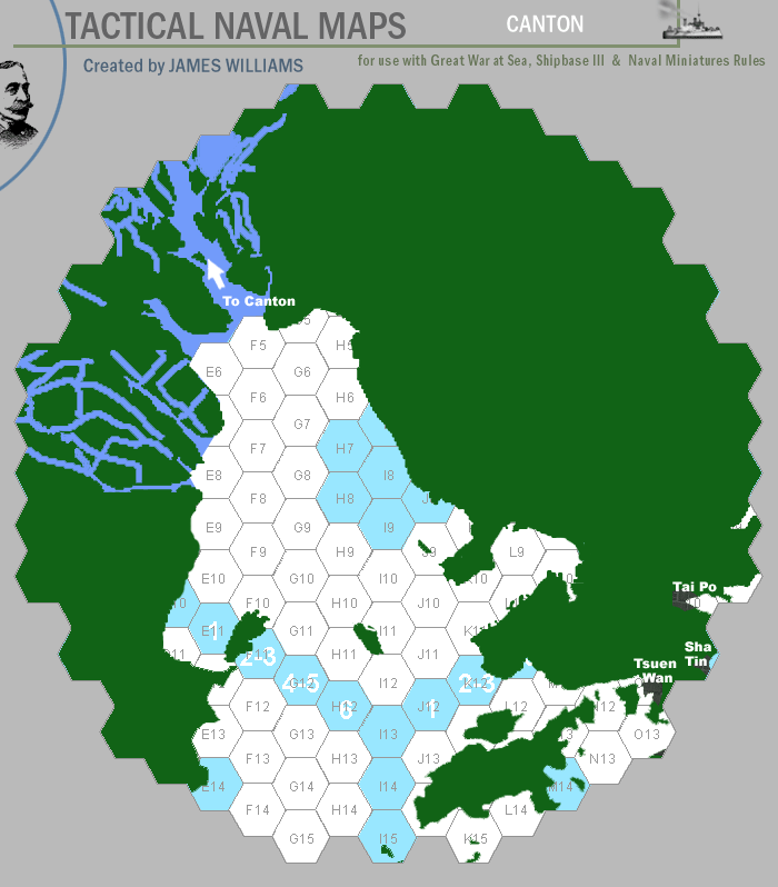
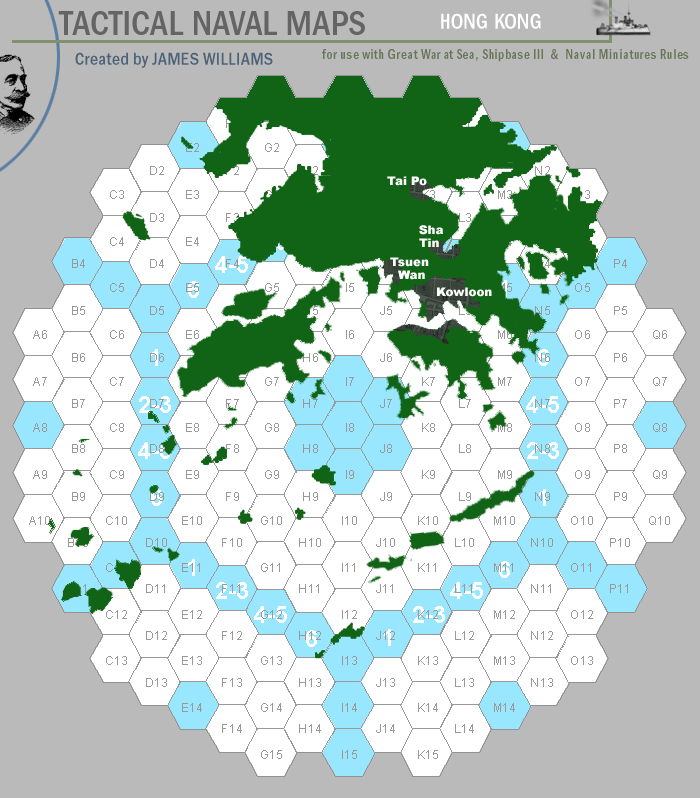
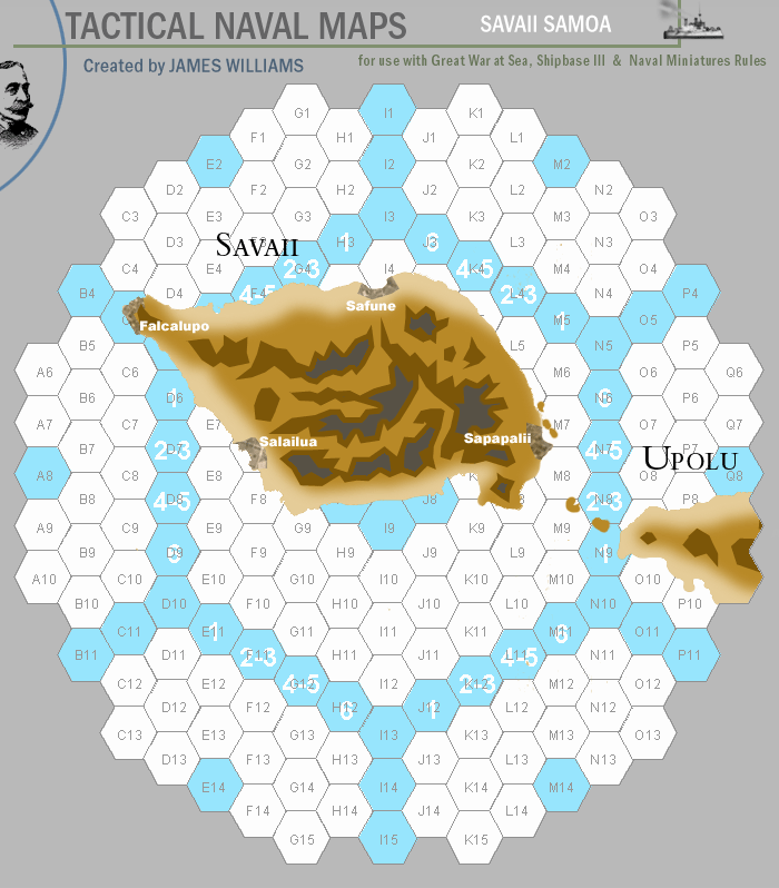
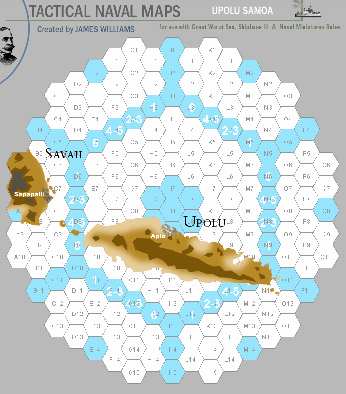
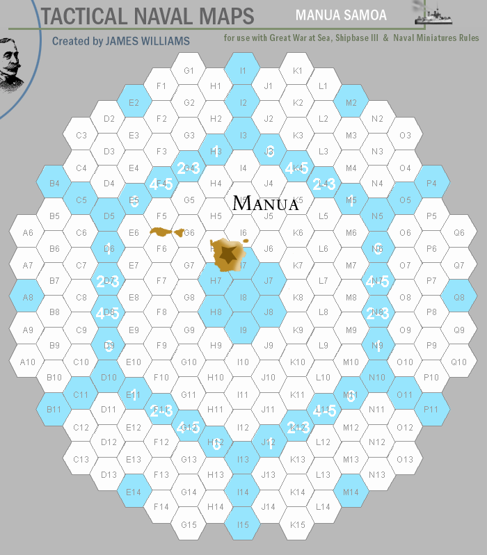
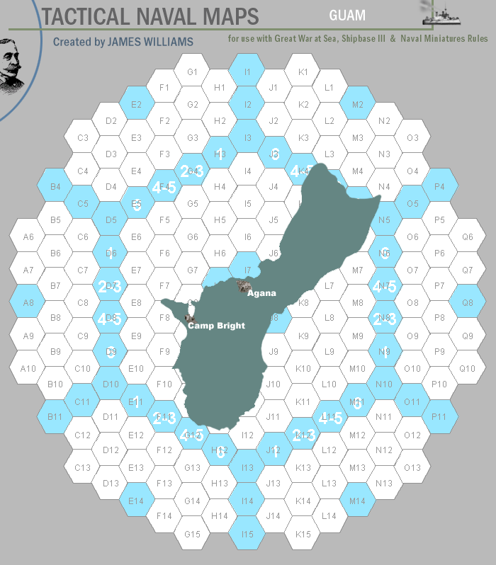
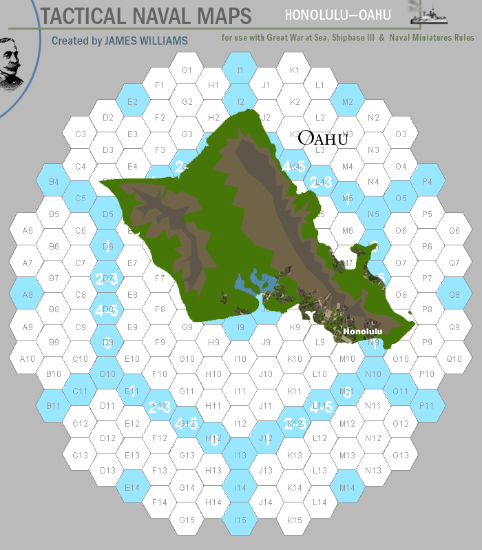
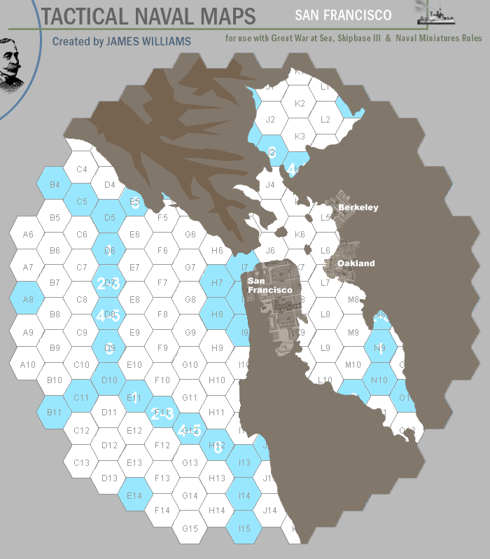
Tactical Maps
Pacific Theater Maps (hex numbers from GWAS Naval Plan Orange Map)
Extended Pacific Theater Maps
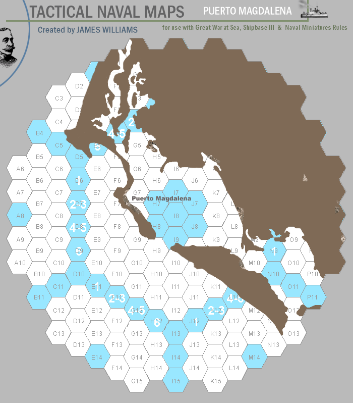
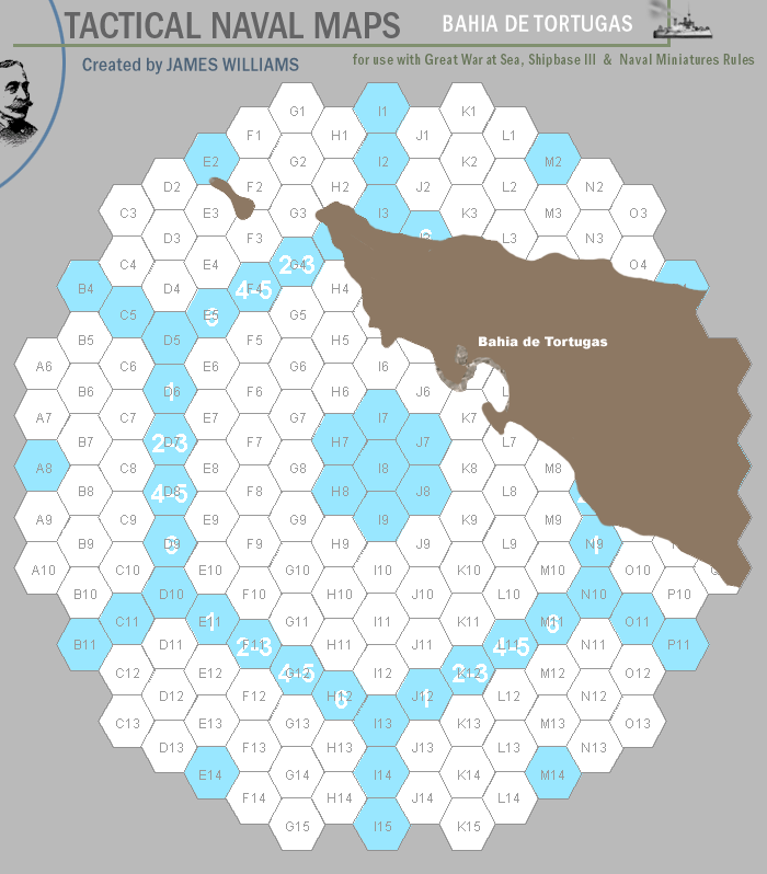
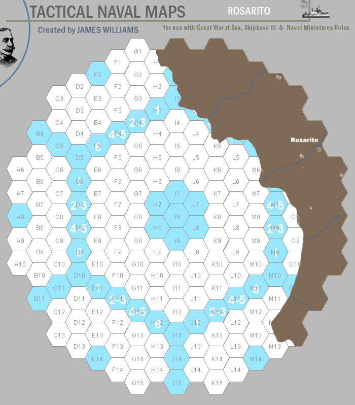
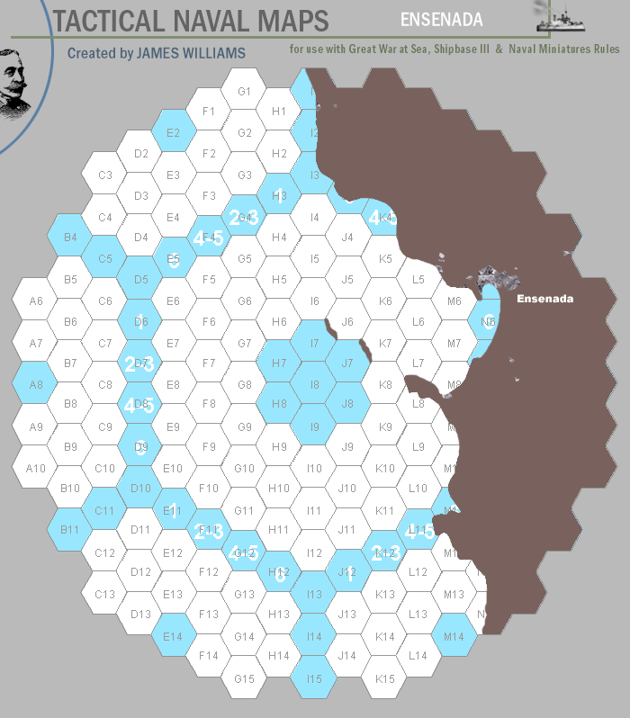
North American Theater (hex numbers from Baja California Map)
|

