|
|
Katy Trail State Park, Missouri
Katy Trail State Park is very different from most state parks in Missouri, as it is currently around 225 miles long but generally only several feet wide at any given point. The trail is built on the location of the former Missouri/Kansas/Texas (MKT, or "Katy" for short) railway between St. Charles, MO and Sedalia, MO, and the Union Pacific railway between Sedalia and Clinton, MO. The trail may eventually be extended east to the confluence of the Missouri and Mississippi Rivers, and west towards Kansas City. Click here to visit the official site for further information, event dates, etc.
|  |
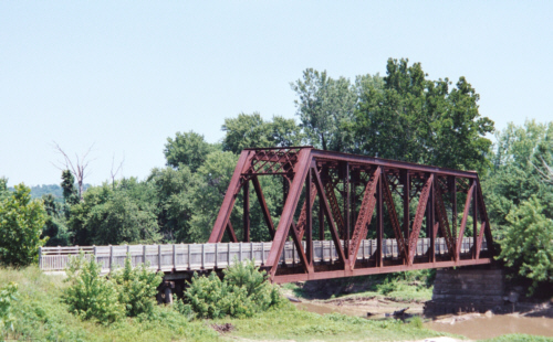
Truss over the Auxvasse Creek near Steedman, MO.
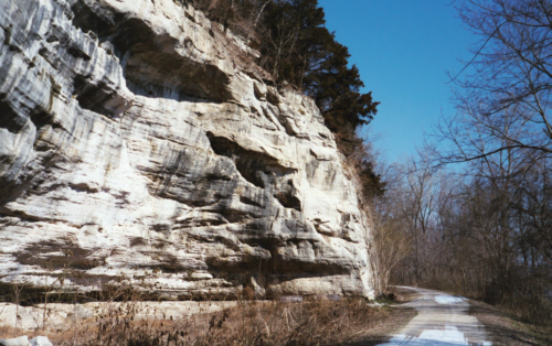
Bluff along trail at Klondike County Park near Matson, MO.
My Adopted Mile
The Katy Trail has an Adopt-A-Trail program in which a person or organization can "adopt" a mile of the trail (from one milepost to the next). For a relatively small annual donation, the Missouri Department of Natural Resources will perform trash pickup, better maintenance, etc. on the designated mile. In addition to Adpot-A-Trail, other programs are available to assist with trail beautification and use. Visit the official Katy Trail site for more information.
| 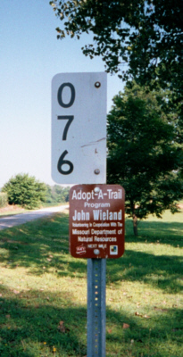 |
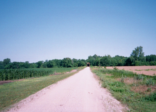
Adopted Katy Trail mile near Marthasville, MO.
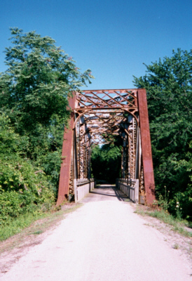
Truss over the Tuque Creek in adopted mile.
Map of Park
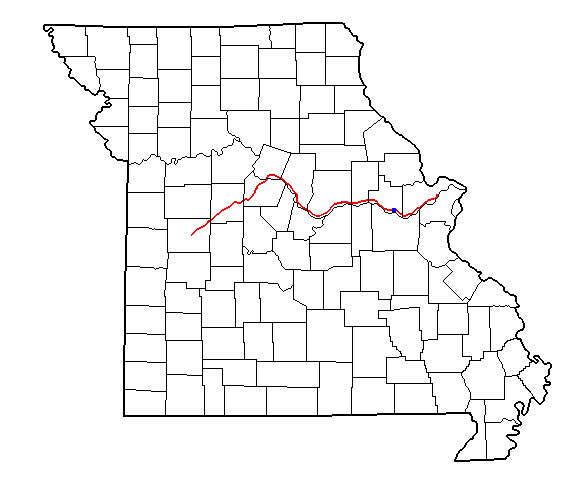
Map of Katy Trail State Park, with adopted mile location indicated in blue.
|