Eshowe is a small town in Kwazulu Natal with approximately 15,000 residents, surrounded by rural villages numbering 100,000 inhabitants. Eshowe has been home to Zulu kings Shaka, Mpande, Cetshwayo and Dinuzulu, as well as the British military headquarters. Eshowe was the first British capital of Zululand during its time as a separate British colony (1887-1897).
Eshowe sits 500m above sea level, 20km inland on the north coast of the Kwazulu Natal province and 150km from Durban. Whilst the region is predominantly known for the production of sugar cane, the Eshowe region has over 600,000 citrus trees and 21 pack houses and exports approximately 49,500 tons of citrus fruit. Eshowe retains 250 ha indigenous rain forest and is spread in a horseshoe shape around the Dlinza Forest nature reserve which is rich in bird life.
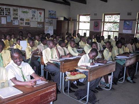
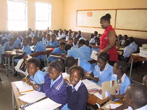
Eshowe town consists of a small town centre, the former black township of King Dinuzulu and the former coloured township of Sunnydale. There are numerous rural Zulu villages surrounding the town, which are run by local chiefs. |