|
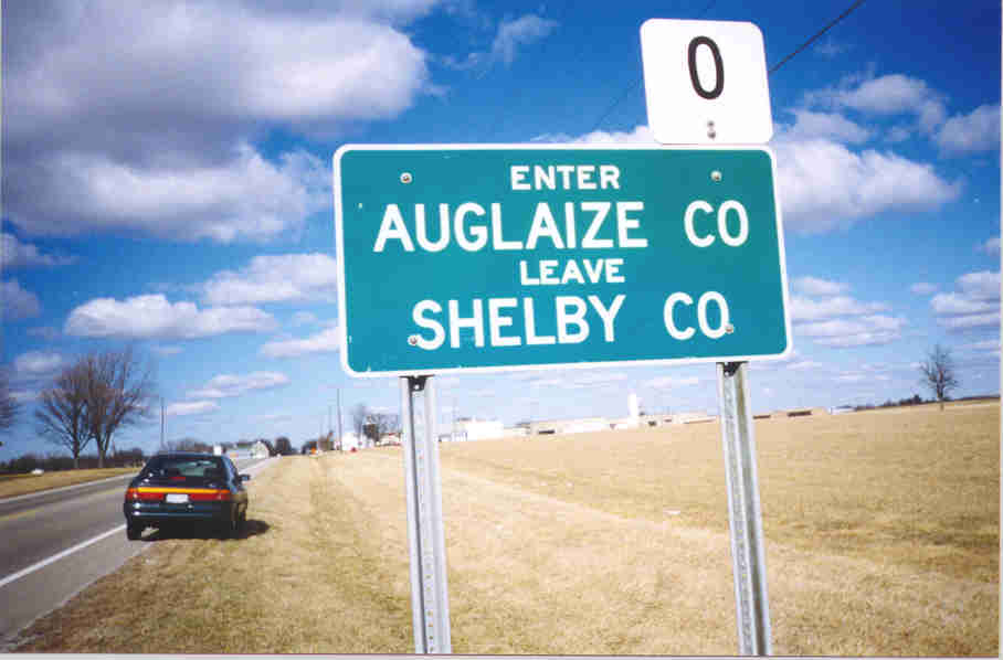
Immediately after crossing into Auglaize County travelers are welcomed to Minster. Up ahead are streetlights which mark the city limits. |
 |
OH 66 runs north on Main Street in Minster. Here is its intersection with Fourth Street. This is also where OH 119 begins its run with Main Street/OH 66 up until the northern city limits. Notice the standalone OH 66 sign with the "NORTH" banner. |
 |
This is the street sign located at the above intersection. It is attached to the building. |
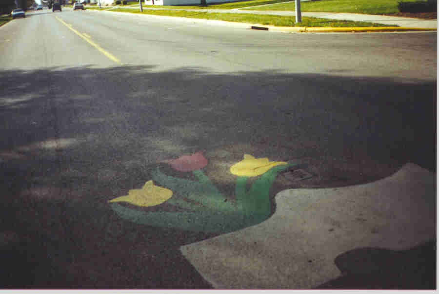 |
This painting of a wooden shoe with tulips is redone every October for the city's annual Oktoberfest celebration. |
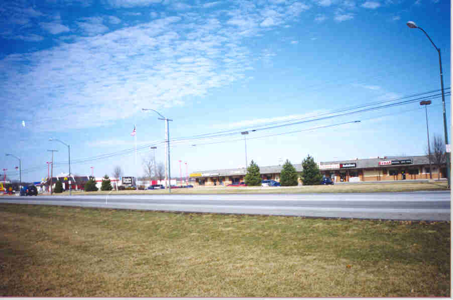 |
This is the Eagle Plaza shopping center, located on the north side of Minster. North of it (at the extreme left of the picture) is a McDonald's restaurant. |
 |
This is the Amsterdam Center, located on the south side of New Bremen. This mall gives the Eagle Plaza some competition since Minster is not that far from New Bremen. North of it is a Wendy's restaurant. |
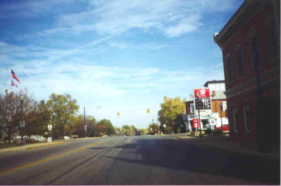 |
This is Washington Street/OH 66 through downtown New Bremen. That traffic light is where OH 274 crosses. At the right is a Speedway gas station. |
 |
This is the standard street sign for New Bremen. OH 66 is just called "St. Rt. 66 N." here. |
 |
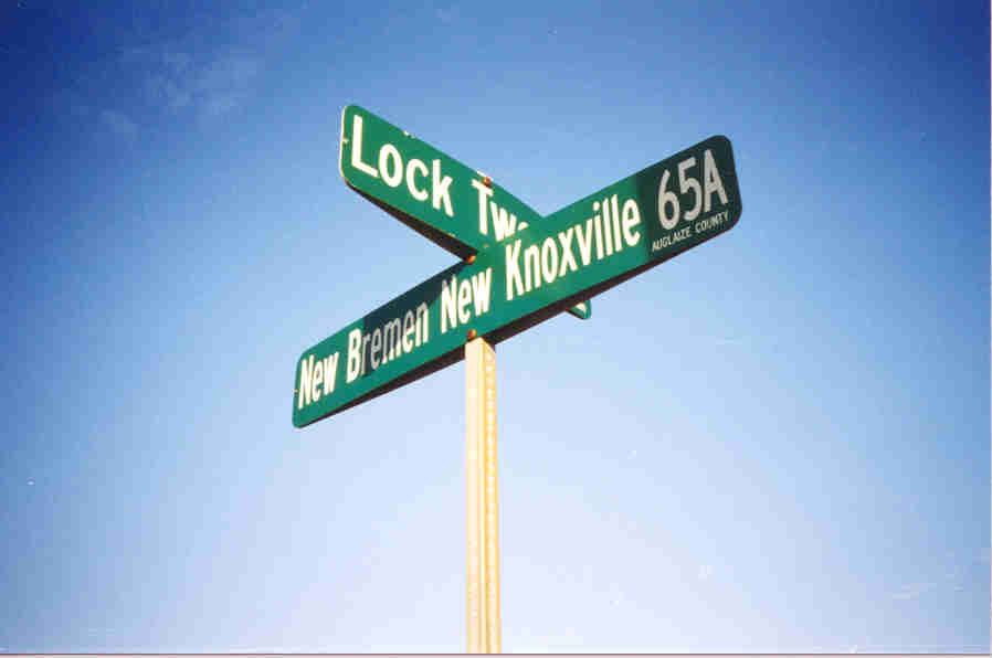
This is a sign placed on Auglaize County roads at intersections identifying the name, making it very easy to read. |
 |
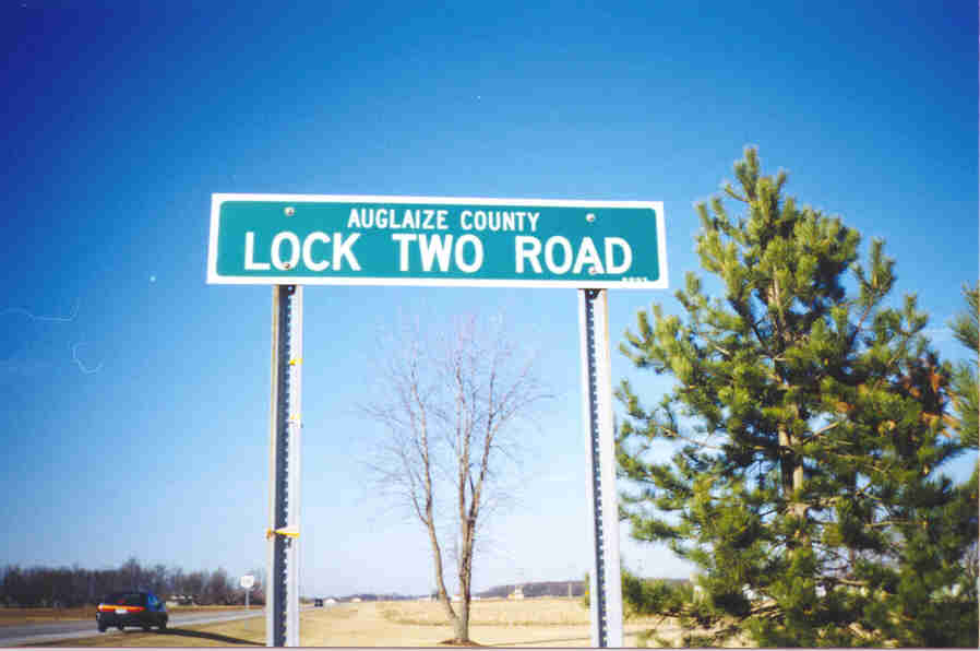
This is another style of a county road sign. This version, in addition to the name, gives the number. BTW, Lock Two Road is CR 70. |
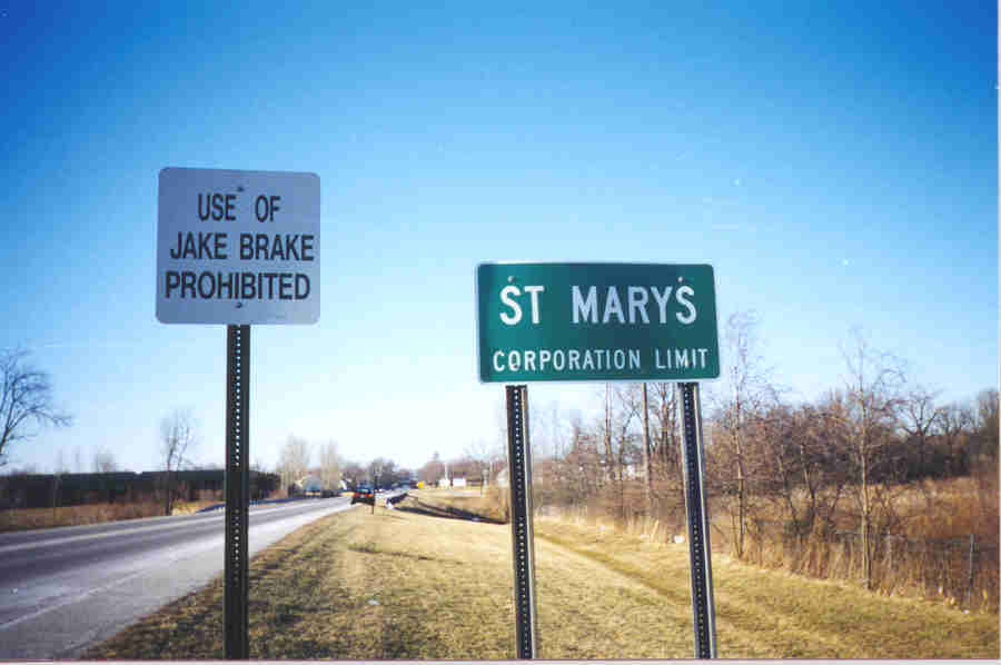 |
This is the standard sign in Ohio for the corporation limits of a city. Notice the "Jake Brake" sign. |
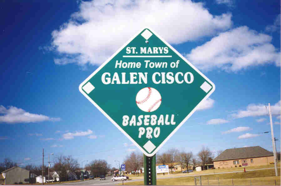 |
This sign honors former major league baseball player Galen Cisco. |
 |
This is a white sign designating a crossing road, just inside the Saint Marys city limit. |
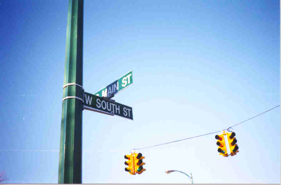 |
This is the most common street sign in Saint Marys, at the intersection of South Main and West South Streets. |
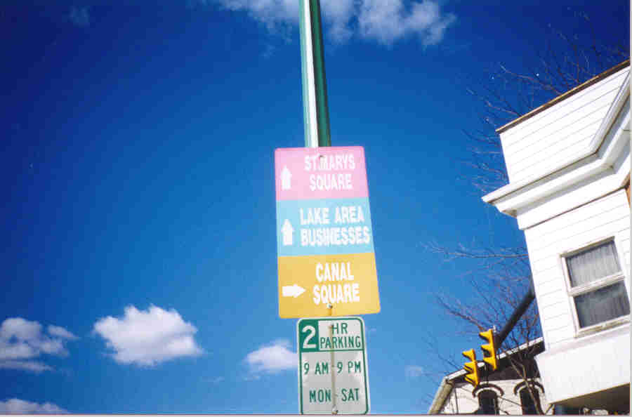 |
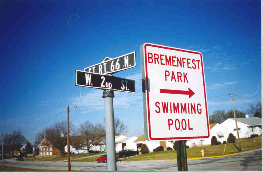
This sign in downtown Saint Marys directs people to certain attractions. |
 |
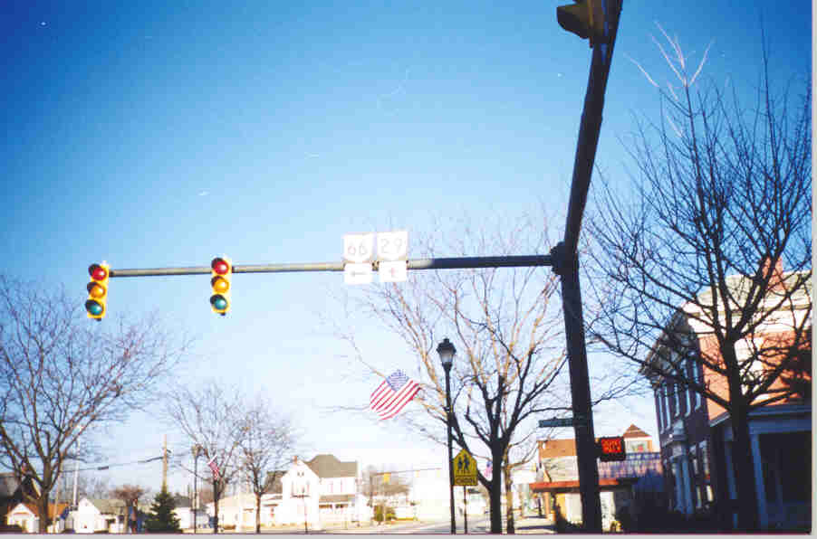
This is a distance sign on the Denny Vogel Insurance building. This is for traffic facing east, where OH 29, 66, 116, and 703 come together. Southbound OH 66 is a direct link to New Bremen, but none of eastbound OH 29, 66 (not to mention US 33) provide a direct connection to Massillon. |
 |
This "Left Turn Only" sign has holes in it. They are not easily seen here with the sun shining directly on it. This is the intersection of East Spring and Chestnut Streets. |
 |
Here are two hoisted highway markers with directing arrows, something relatively uncommon in the state of Ohio. Again, my apologies for having taken the picture in direct sun. This is where East Spring and Spruce Streets intersect. |
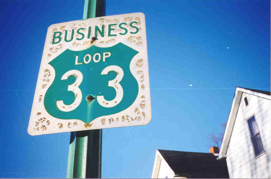 |
This is a sign for Business Loop US 33, located on Spruce Street. |
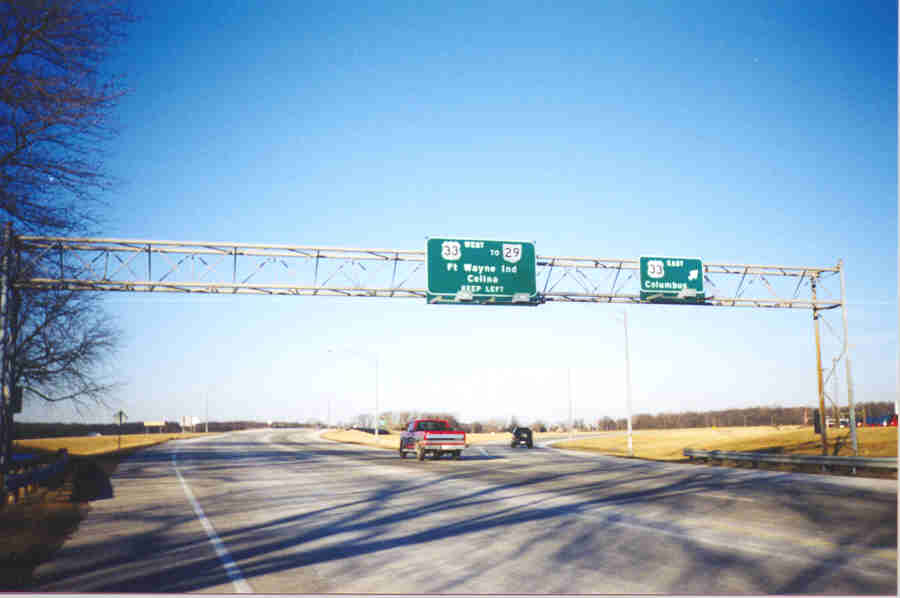 |
This is the interchange between OH 66 and US 33. US 33 westbound is for OH 29, Fort Wayne, and Celina. US 33 east is for Columbus. |
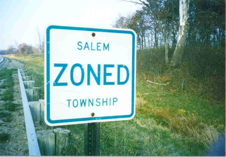 |
This is a sign telling motorists they are about to enter Salem Township. It is not the standard Ohio township boundary sign. |
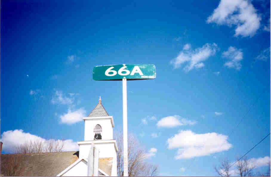 |
When the Auglaize County road has a number but no name, this is the representation on the street sign. This here is CR 66A in Kossuth, at the OH 197 junction, possibly an old alignment of OH 66. |
 |
This is CR 66A itself. |
 |
This road is approximately ten miles east of OH 66, but here is the only county highway reassurance marker I know of in Auglaize County. It is located in Cridersville, right near I-75 Exit 118. Like its brother in Shelby County, it probably has this reassurance marker to remind motorists it was once part of US 25. |