Hiking in Zao
I went hiking in the Zao Region in southern Miyagi for the first time back in 1999, but it was really during last summer (2000) that I got to cover the southern Zao region extensively, walking along a series of mountain ridges between 1,500 and 1,800 metres above sea-level. I hope the pictures below will give you some indication of what I was able to enjoy, along with my ever-present hiking and cycling buddy, Chris, and some Japanese friends.
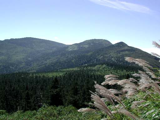
The view of the southern Zao mountains. We walked to the top of all the peaks plus one (Mt Fubo) which is not show in this photo. This picture was taken about 100 metres from the trailhead. The trailhead starts from the Echoline Road, which is closed during the winter months because of heavy snow in the area.
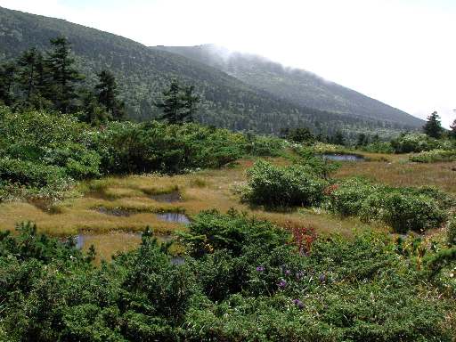
A colourful marsh area between Mt Sugigamine and Mt Byobu (in the background).
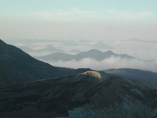
A view of the northern Zao mountains in a sea of mist. In the foreground is Lake Okama, a caldera.
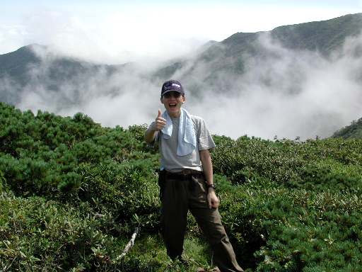
One happy hiker with Mt Fubo partially veiled in mist in the background.
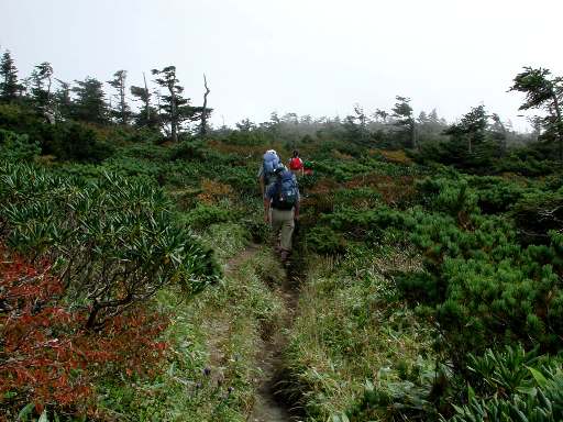
On the way up to the top of Mt. Byobu. The day started off very clear, but by the time we were half-way up Mt Byobu, our third peak, mist was starting to roll in. It also got windier and I think this area is well-known for being a bit of windtunnel as you can evidently see by the shapes of the stunted pines. By the time we bagged our fifth peak, we were walking in fog.
More pictures of hiking in Zao.