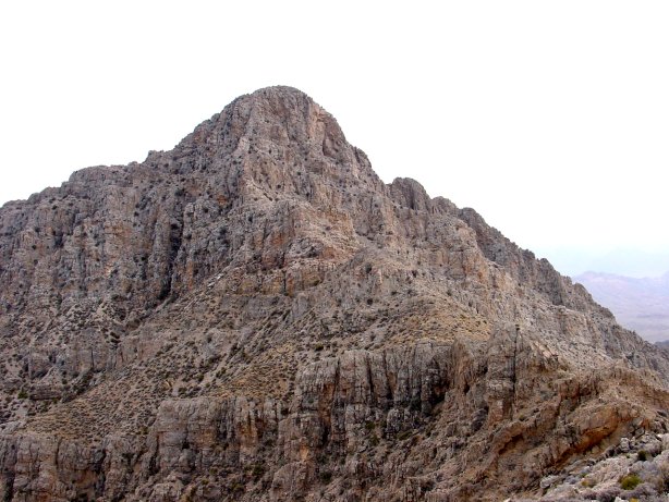
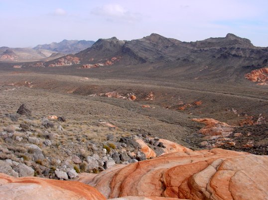
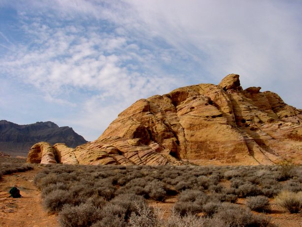
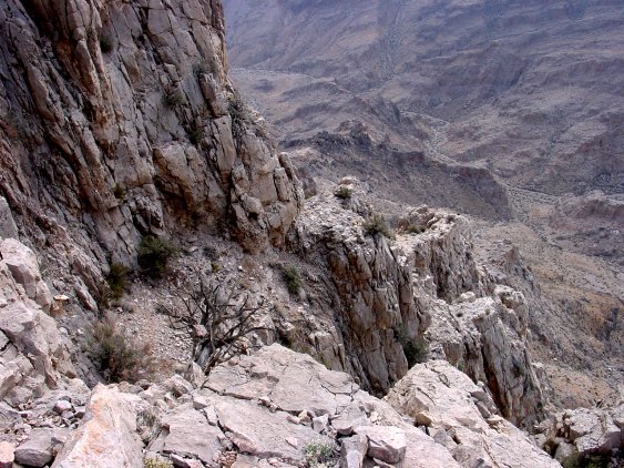
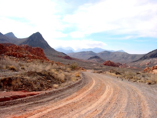
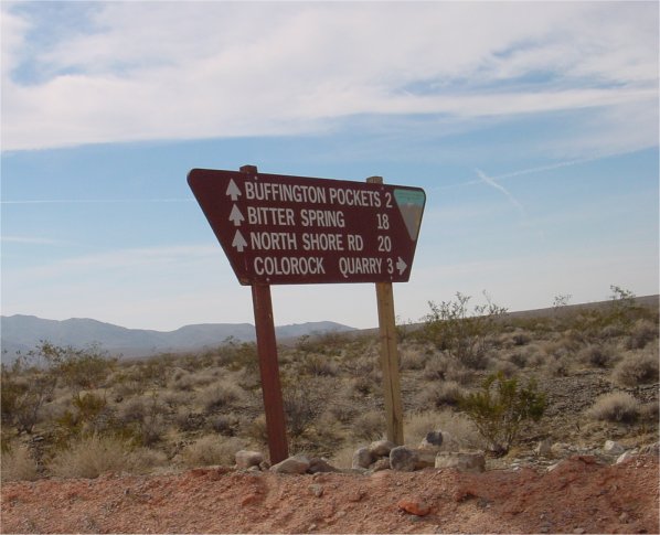
| Leave Route 169 here, continuing straight (SE) 0.1 miles to the end of pavement and start of a good dirt road. A BLM sign here welcomes you to Bitter Springs Trail, a designated back country highway. Drive 4.0 miles SE to a second BLM sign indicating mileage and directions to Buffington Pockets, Bitter Springs, North Shore Road and Colorock Quarry. Continue straight (SE), following the main dirt road for 6.2 miles ignoring any left or right minor forks). On the way you will pass Buffington Pockets and pass through a small defunct rock quarry. The road gets bad for about a mile after this rock quarry. After going 6.2 miles you will turn right onto a faint dirt road heading generally west towards a low ridge. Driving 1.0 mile to the parking lot at the road closure. A large, metal BLM sign marks the boundary of a BLM wilderness study area. No vehicles are allowed. A steep jeep road, which continues past the boundary, has been "decommissioned". Hike up this road and drop over a low saddle into Hidden Valley. The hike will be about 4.7 miles to Muddy Peak. As you follow the road you will cross a streambed at N36 degrees 19.870 minutes, W114 degress 42.178 minutes. Turn SE onto this streambed and follow it to the start of a wash at N36 degrees 18.437 minutes, W114 degrees 42.057 minutes. Follow the wash up to the saddle. From the saddle, head east up the steep rocky slope. A few Cairns mark a rugged trail towards the peak. Basically you want to stay on the ridgeline, which at times is very rocky. Eventually you will reach the summit tower, which will appear very foreboding. You will have to do some third class climbing up a chute to reach the peak. Taking the time to familiarize yourself with the available hand/foot holds as you ascend. You will need to use them on the return trip down the chute. Once you are on top, enjoy the view. An existing logbook exists on the peak. Make sure you sign this. |