| Welcome to BONNE CARRE |
|||||||||||||||||||||||||||
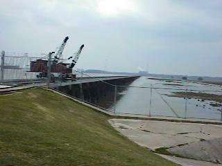
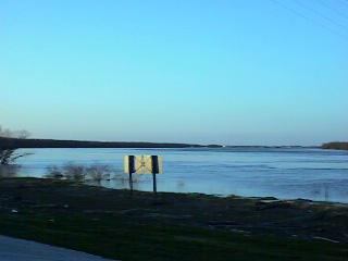
| Bonne Carre gets its name from a settlement, early LaPlace, La. , on the east bank of the Mississippi River at about 15 miles from New Orleans. Its name is also part of a bend in the river called Bonne Carre Point located on the west bank of the river. This point is where the river makes a drastic change of direction. The point is continually adding to its land because it is on the inside bend of the turn. Opposite this point is the small community of Crevasse located on the east bank or the outer bend of the turn and is the location of a great crevase in the late 1800's. In more modern times a Mississippi floodway bears this same name. This floodway was built in 1932 to protect New Orleans from the threat of flooding. It was one of the austerity programs set up by the United States to get people to work. Many of Ruths' and my ancestors worked on this large project after World War I when the economy was in schambles. Before all of this however, Bonne Carre was a thriving plantation, Diamond Plantation, growing sugar cane, king crop in the region, and other staples. The plantation included the Bonne Carre spillway, the Shell Oil Refinery land , and what is now the town of Norco, La. It was here that Etiene Klibert, my grandfather, brought his family from the Johnson Plantation in Wallace, La.. The plantation was located very near a small community by the name of Crevasse. BitsNPieces |
|||||||||||||||||||||||||||
![]() |
|||||||||||||||||||||||||||
| This picture shows the locks which keep the river from flowing into Lake Ponchatrain when the river is at flood stages. It is only opened when there is a threat of flooding at New Orleans. The opening and the flowing of water from the river into the lake causes some effects on the sea creatures of the lake. This is because of the chemicals, from run-off primaraly, which taravel down the Mississippi from as far away as Minnisotta and Ohio. | |||||||||||||||||||||||||||
| The Bonne Carre spillway structure is indicated by the blue line at the upper section of the map. | |||||||||||||||||||||||||||
![]() |
|||||||||||||||||||||||||||
| In this picture you are looking upriver towards the point. The island can just barely be seen. | |||||||||||||||||||||||||||
| This map is of an area upriver from Bonne Carre and down river form Crevasse and Bonne Carre Point. The island shown is called Bonne Carre Island. There was a crevasse at this point in the river levee system that allowed Mississiippi river waters to flow towards Lac Des Allemands. Its location is one half mile upriver from the town of Killona in St. Charles Parish. It was near here that the settlement of Des Allemonds was founded, no doubt because of this flow of river water into the lake. See the historical marker. | |||||||||||||||||||||||||||
| Want to get in touch with me? Like my page? Email me! [ [email protected] ] |
|||||||||||||||||||||||||||