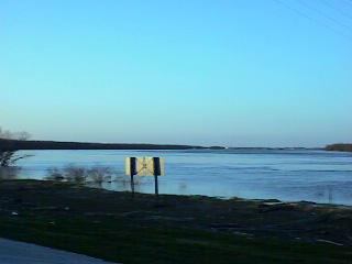
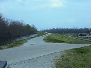
CREVASSE
Crevasse. The name signifies a breach or break in a levee. Although the levees in those times were very small in comparison to today's twenty foot high works, they did provide some margin from floods of the Mississippi . Where Crevasse, the community adopted the name, is located a mighty crevasse happened. If you were to look at the map you can see that the Mississippi makes a near right angle turn where Crevasse is located, the Crevasse area bearing the brunt of the pressure of the waters. It extended for about one quarter of a mile in width and allowed Mississippi river water to flow into Lake Pontchartrain to the north. This breach was so immense that it allowed boats to navigate from the river to the lake for many years. The breach remained opened from 1871 to 1883. It was only after the railroad decided to install tracks to New Orleans that the breach was repaired and people started to resettle the immediate area. Small ponds continue to dot the terrain from the river to the lake. Any one flying into the International airport near the areas can see these doting the landscape. It was in Crevasse that my grandfather Camille and his family resided.
The visits to this ancestral home are very vivid. Although, because of transportation limits, we could not visit often their remberance will always be with me. Camille lived there for most of his life and only in later years did he and my grandmother, Bertha Madere, move to the community of Laplace. There is still a descendant of this family living on the same parcel of land which my grandfather owned. Ida, my mother, married Whitney Klibert and, I can only assume at this time, that they met because of the close proximity of their families although Camille and Whitney did work at the same sugar mill in Reserve, La..
RESERVE
BITSNPIECES
More to come later.
Like my page?
Email me! [ [email protected] ]