| Blencathra Field Work - River Studies Album |
| Starting from the peak of Blencathra, we looked at the variations in the River widths, depths, speeds, gradients and size and roundedness of the rock load as we moved down stream to lower altitudes. |
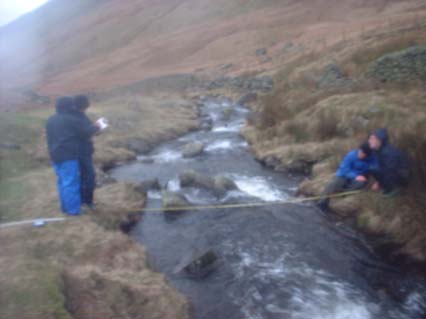
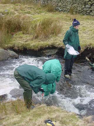
| This was one of the mid-level rivers, but the rain was heavy and the wind strong, which made the task of the measuring the width of this channel more difficult |
| Not forgetting the "Green Team", they weren't missing out on the cold water. |
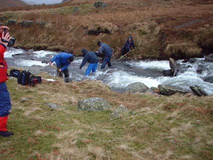
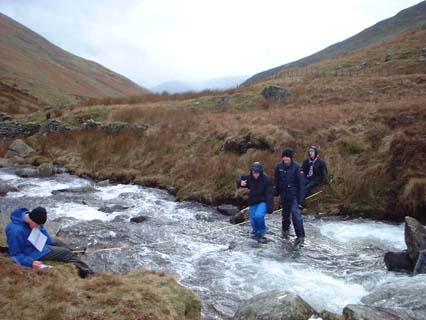
| The rivers got Wider & Wider, this was going to be a challenge. |
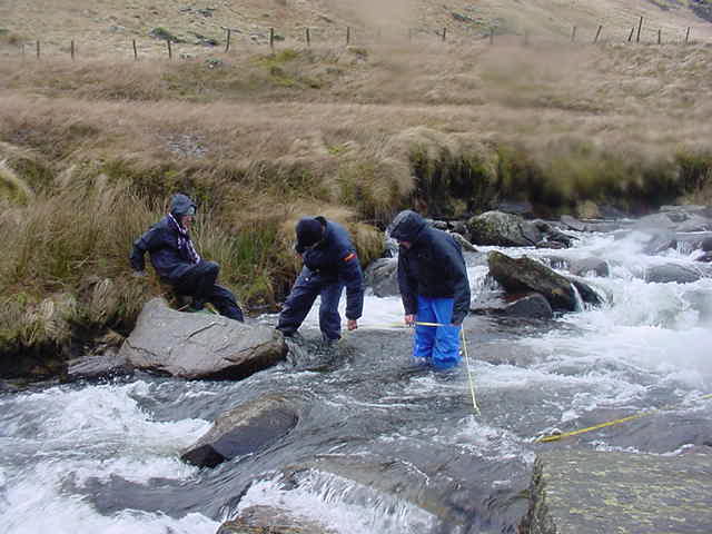
| So we stood on the tape measure to try and measure the whetted perimeter ! Thats Mr Wright with the video camera nice and dry - typical staff ! |
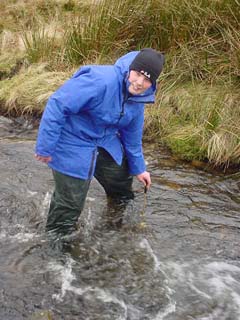
| Quite a current - it was difficult to stand up especially with a strong wind, and when your feet are freezing and water gets through your wellies ! |
 |
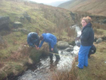 |
| Taking widths and depth readings of one of the early tributary rivers - which is fine in nice weather . Until.... (right) |
 |
 |
 |
 |
| This was nasty, you had to put your hand in the freezing water for anything up to 30 secs, just to measure the velocity of the river |
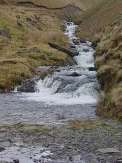 |
| Upland Tributary making it's way from the watershed, downstream towards the sites we were working on. |
 |