| Blencathra Field Work - Catbells Footpath Album |
| Catbells is one of the many Lake District Honeypot Sites, and footpath erosion is a major concern here. We look at the factors affecting this erosion, and the techniques that can be used to resolve the issue. |
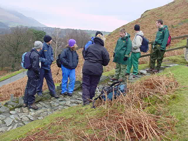 |
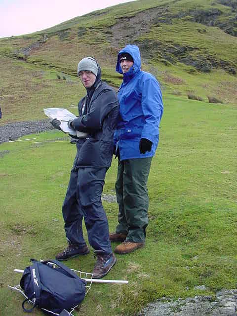
| The group at their first site of investigation, standing around in their waterproofs with all the equipment just in case the weather takes a turn for the worse. Fortunately there were only high winds, and no rain (on this day at least!) |
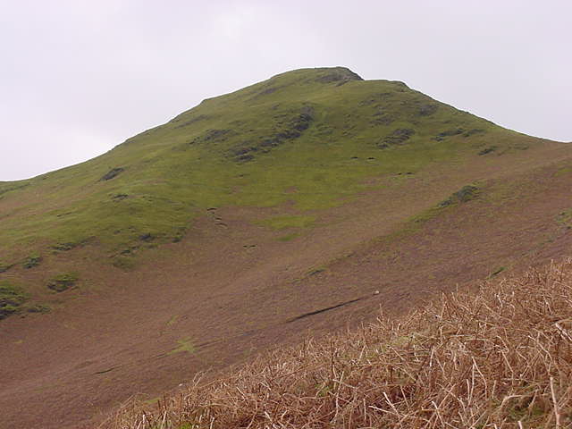 |
| Looking up to the Catbells Peak, 251m above sea level. |
 |
 |
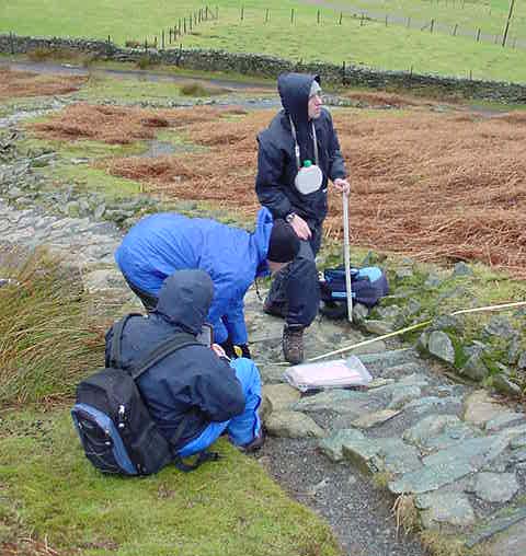
| Part of the group measures path widths, depths, and trample zones... |
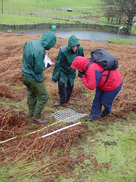
| Whilst some of the others takes measurements of the plant life on the side of the path. |
 |
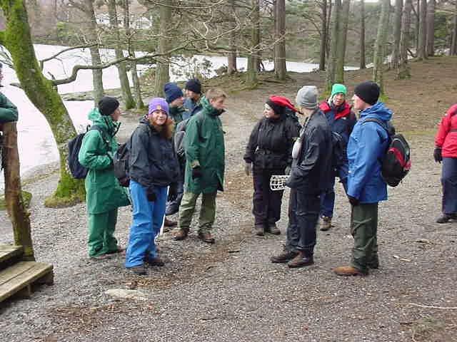
| Measuring the Quality of the Landscape by survey. |
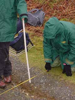 |
| Measuring Footpath Depth as a Indication of Erosion on the Path |
 |
| Low level walking at Brandelhow around the edge of Derwent Water |