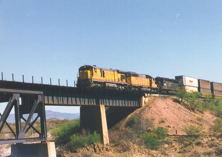
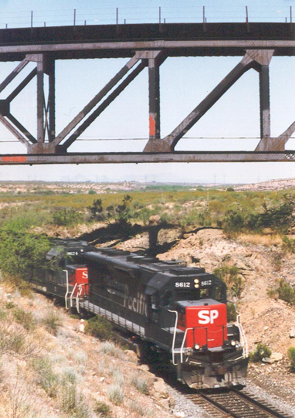
These are two of the first pictures I ever shot with my camera. Taken May 13, 1997.
When you have a new toy, you have to try it out, right? So, I headed to my favorite railfan spot to see what the machine could do.
This is Cienega creek, east of Tucson, Az. When the Southern Pacific built this line in 1880, they reached Tucson and headed east. They located the line along the streambed, but several floods in early years resulted in relocating the line about halfway up the canyon wall. Curves are very tight and speeds are slow.
In 1920, the El Paso and Southwestern built westwards towards Tucson. They crossed the creek on a large steel trestle, also crossing the SP line at the same time. When the SP bought the EP&SW in 1929, they started operating this section of railroad as double track, with eastbound trains using the slower canyon line and westbounds using the high bridge.
The canyon itself is now a Riparian Wilderness Area, one of the few places in the area with flowing water the majority of the year. |