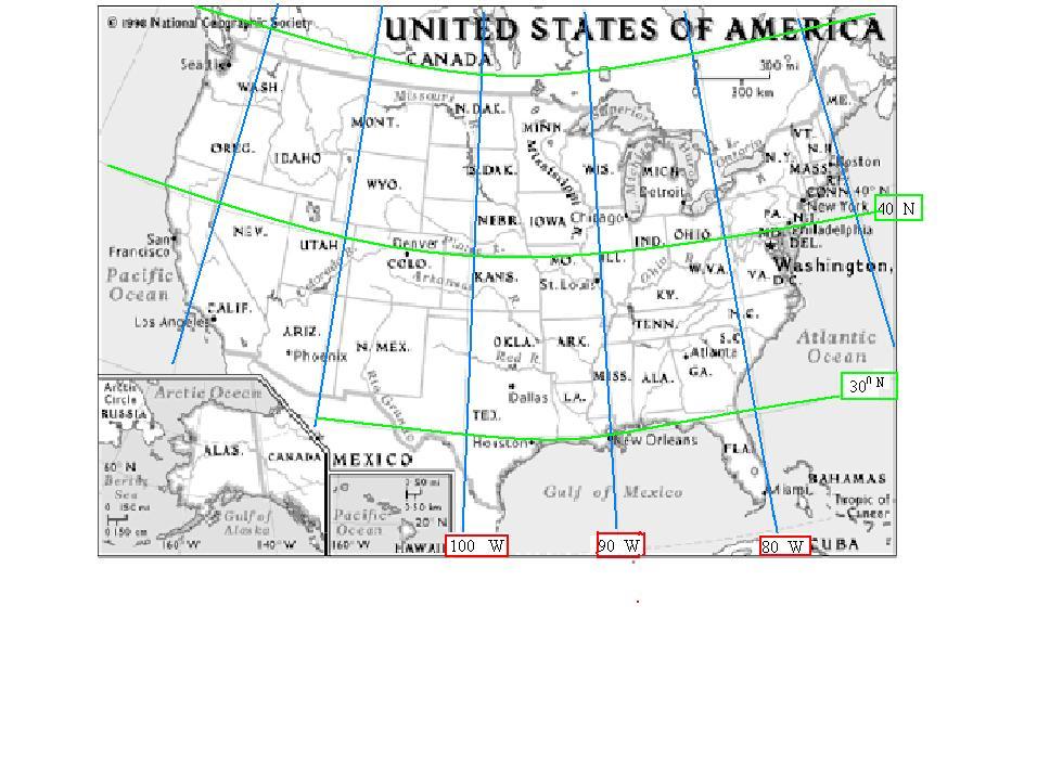
Remember the first T in laTitude. Latitude lines look like the top of the T. They go across. You will be using a map of the world and the tools in MS Paint. After you copy the map.... 1. Put a red line across the equator. 2. Put a blue line across the line of latitude that goes across the United States. What is the latitude (to the nearest ten)? Put that number also in blue. 3. Draw different color lines across the map on the latitude lines. Challenge: Make a black line across 10 degrees latitude. 4. Put N, S, E, and W for north, south, east, and west on the map. Here is the website where you will find a map to copy and paste. |
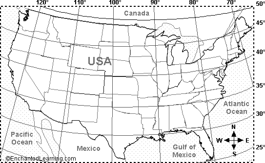
| Use U.S. Map below |
 |
 |