Photographs of Scotland
by David McConnell Hunter
THE CAMPSIE FELLS
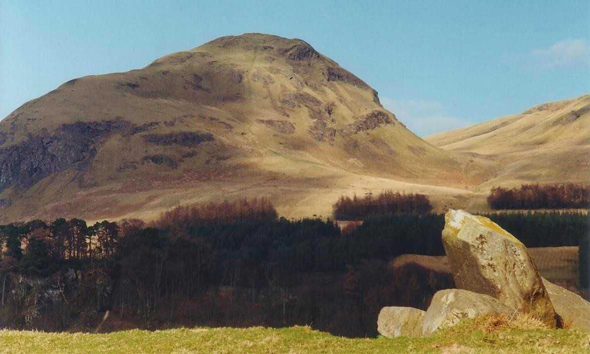
Located about 10 miles north of Glasgow, the Campsie Fells are a prominent feature that can be seen from most locations in that city and its surrounding countryside.
The term "Fell" comes from the Norse word "fjall" and is a common name for "hill" in the north of Britain -- a legacy of the Viking heritage of this part of Europe.
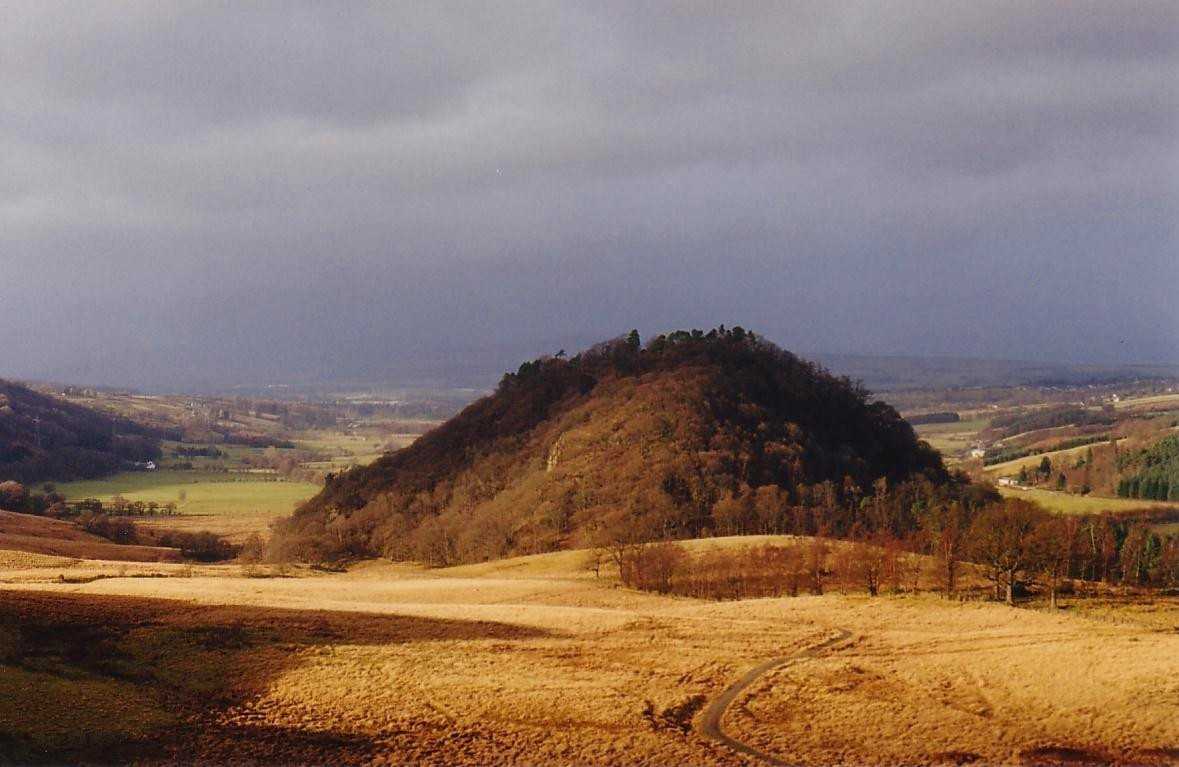
But human occupation of the area goes back even further as is evidenced in the group of prehistoric standing stones just to the south of Duntreath Castle in the Blane Valley. This is one of the few standing stone alignments in Scotland which has been dated by means of radiocarbon sampling and date back to about 3500BC.
The alignment of the stones points to a notch in the Strathblane hills in the northeast and this was most likely used to mark the direction of the prehistoric midsummer sunrise.
Although modest in height (the highest point is Earl's Seat at 1,896 ft.) the Campsies command many magnificent views on a clear day: the Highlands to the north, Stirling, the Ochills and Edinburgh to the east, Merrick, Arran and Ailsa Craig to the south, Loch Lomond and the Arrochar Alps to the west.
Over the years, the Campsies have inspired thousands of outdoor enthusiasts from Scotland's industrial heartland with a love of nature and the environment.
Since the establishment of the West Highland Way in 1980, the area has become familiar to people from all over the world.
Standing Stones at Duntreath
Dumgoyach Hill and the West Highland Way