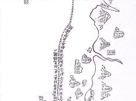
The East African part of the Maokun map (second part)
Su-ku-ta-la (Socotra island) First inscription in Africa is Ha-pu-ni: Ras Hafun formerly thought to be Habashi. The first of the group of three inscriptions is Hei-erh: The blacks formerly thought to be Sofala; most probably a transliteration of Zanj
Second inscription in these mountains :
Mu-ku-tou-su :
Mogadishu
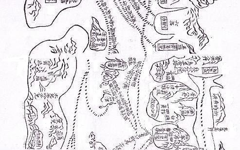
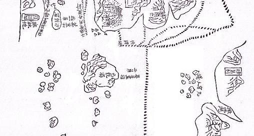
The translation of all the names of the East African coast is given in a detail map. The Islands in front of the coast who are crossroads of sealanes are the Maldives.
The very big island here is Ceylon.
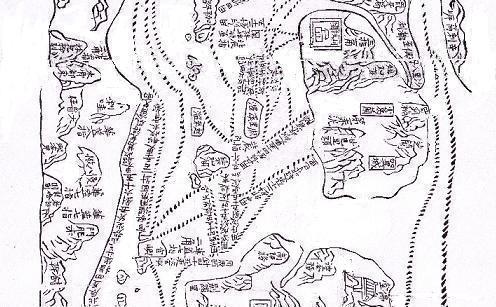
Ha-pu-erh where heavy storms deterred it from proceeding. The map does not provide a location for Ha-pu-erh. The rest of the map is purely an Asian itinerary. In the big island after Africa ended is written:
Chi-lung-liu maybe the Chagos archipelago. And the inscription in the rectangle above the islands in India : Pang-ko-la: Bengal