Porrcupine Mountains
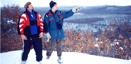
In October, my trusty friend Joe and I went up to do a backpacking trip to the Porrcupine Mountains in the U.P. Michigan. We wanted to plan it for the color change of the foliage. We hit it right on the the head because it was absolutely beautiful!! We did 23 miles in three days ( a nice stroll ) through the center part of the park. This particular part is good for a loop so you dont have to cross the same path twice. We started at the Observation Tower parking lot, and proceeded to the tower for a photo op. We then went to goverment peak, which is the highest part of the park, at around 1400 feet above sea level. This was about aprox. 5 miles or so. ( Joe likes to tell stories in Kilometers because it sounds more impressive, but I didnt feel like figuring out the conversion or finding a website to do it for me.)Anyway, this was a really windy place to camp for the night, not to mention there weren't many places for water to be had. We found a stream that we crossed just before the assent up, that proved to be the only water source, but if you bring a purifier or iodine, and use that stream you will be fine for camping there.
The next day we did an eleven mile trek to 'Lake of the Clouds'. this is the most beautiful part of the park that we saw on our trip. It is very hilly and extremely challenging. We must have hiked 4 mi. uphill just to get to the vista that will be appearing on my picture page soon. We camped at lake of the clouds for the night, and it was absolutely awesome!! No wind and plenty of water!!! The last day proved to be hard uphill hiking for aprox. 6 miles, and back to the car.