 |
|
|
|
|
|
|
|
|
|
|
|
|
|
|
|
|
|
|
|
|
|
|
|
|
|
|
|
|
|
|
|
|
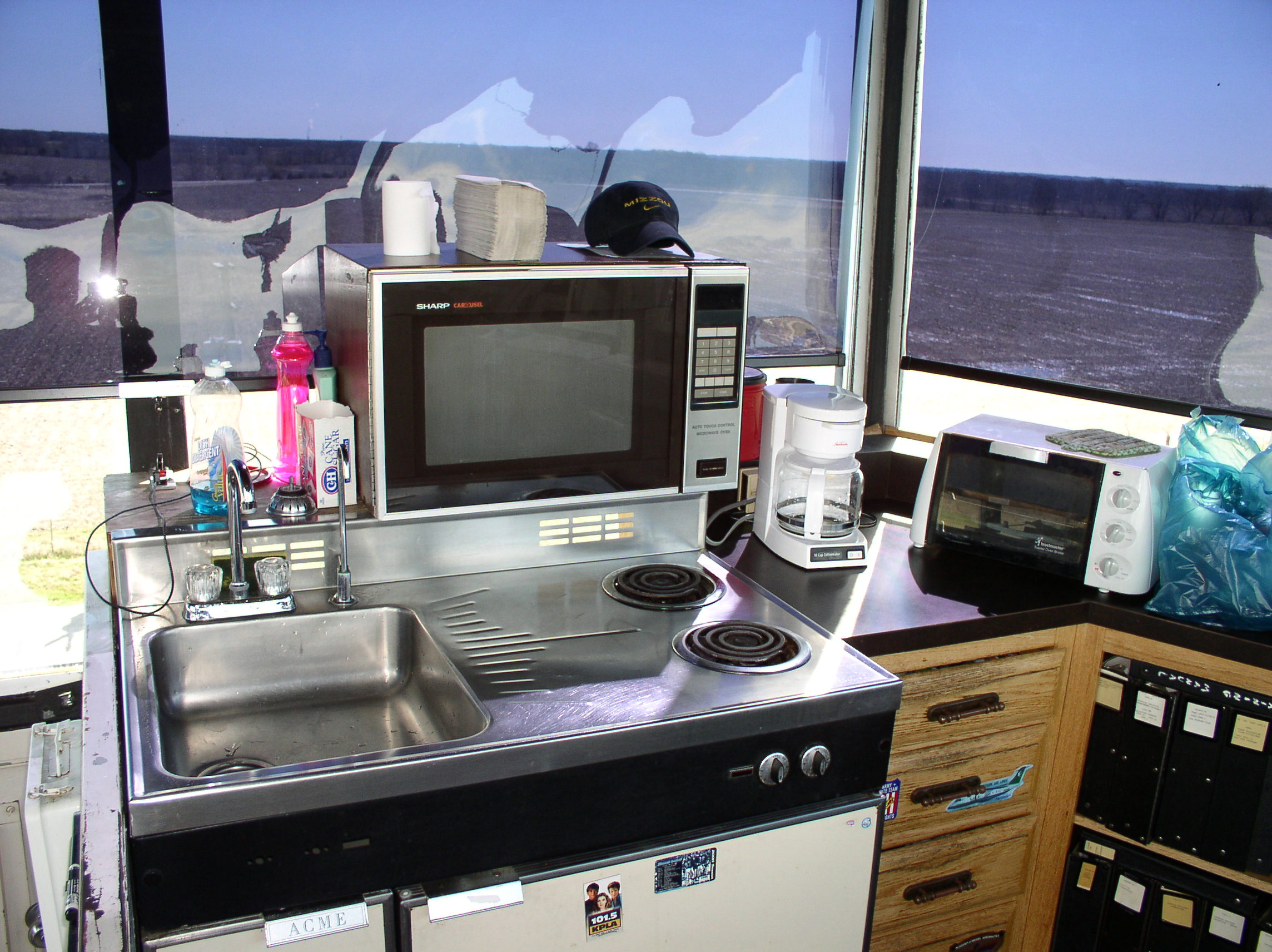
Columbia Tower Tour |
|
|
|
 |
|
|
|
|
|
|
|
|
|
|
|
|
 |
 |
|
|
|
View to the East - Yes, we have to live up here! |
|
|
|
View to the South - Looking toward the approach end of Runway 2 |
|
|
|
|
 |
|
 |
|
|
|
View to the West - Ramp area is straight ahead |
|
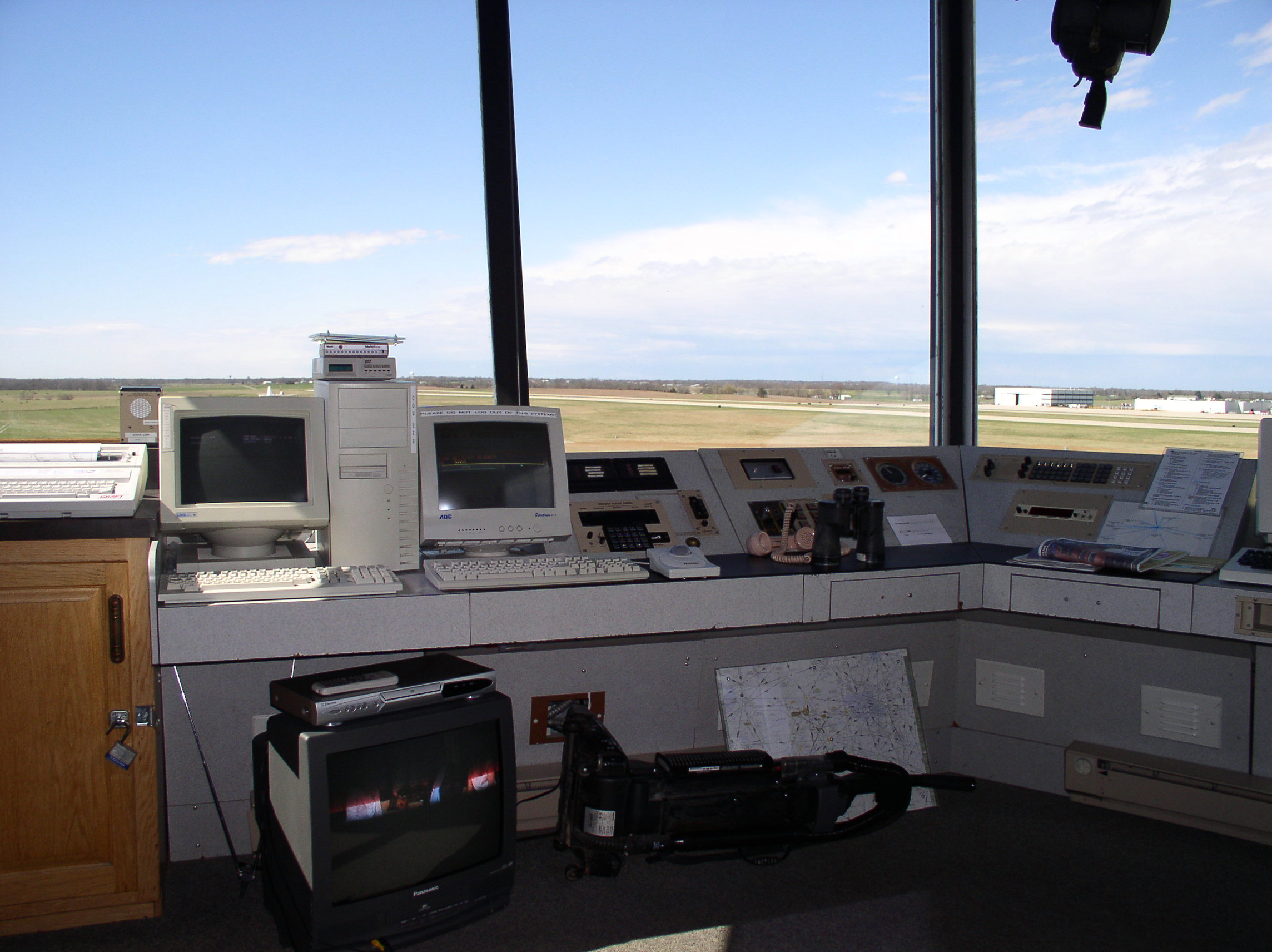
View to the North - Our permanent ATC position/console is just to the right of the binoculars |
|
|
|
|
 |
|
|
|
|
 |
|
|
|
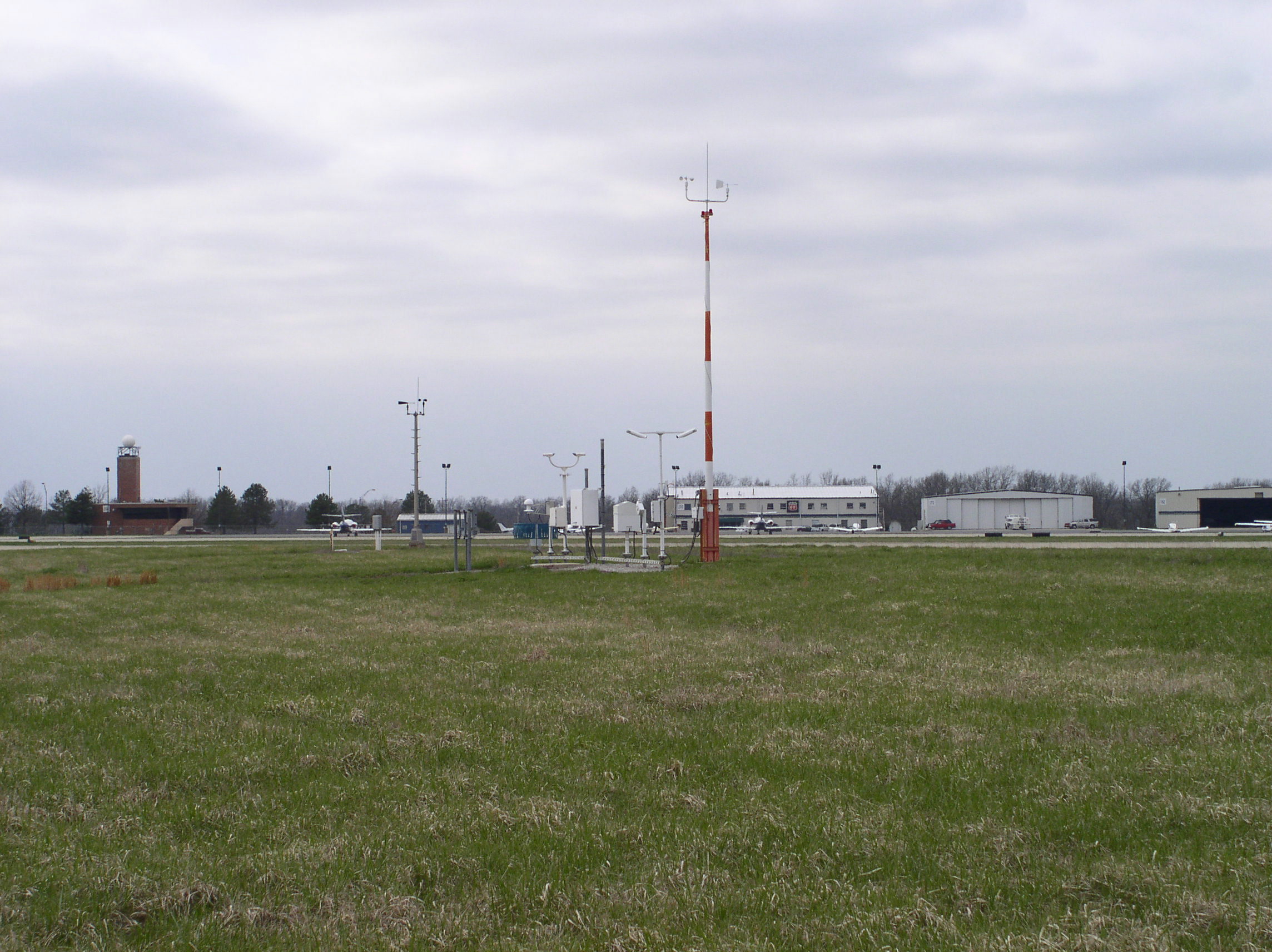
(South view): This is the ASOS array of weather detection equipment. Located 300 yards in front of the tower, it provides the weather info to the ASOS weather information screen shown in the picture to the left. |
|
|
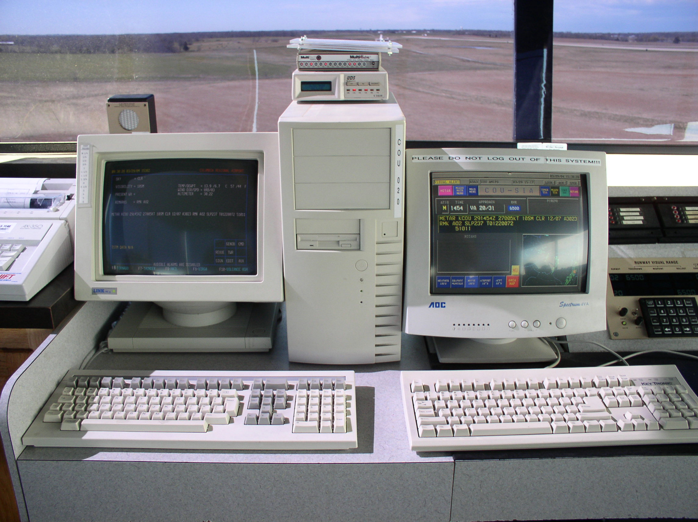
(Starting with the South view): The left screen is ASOS weather information. The right screen is our IDS-4 information - this shows additional weather info, airport identifiers, approach control info, and other "quick reference" items |
|
|
|
|
|
 |
|
 |
|
|
|
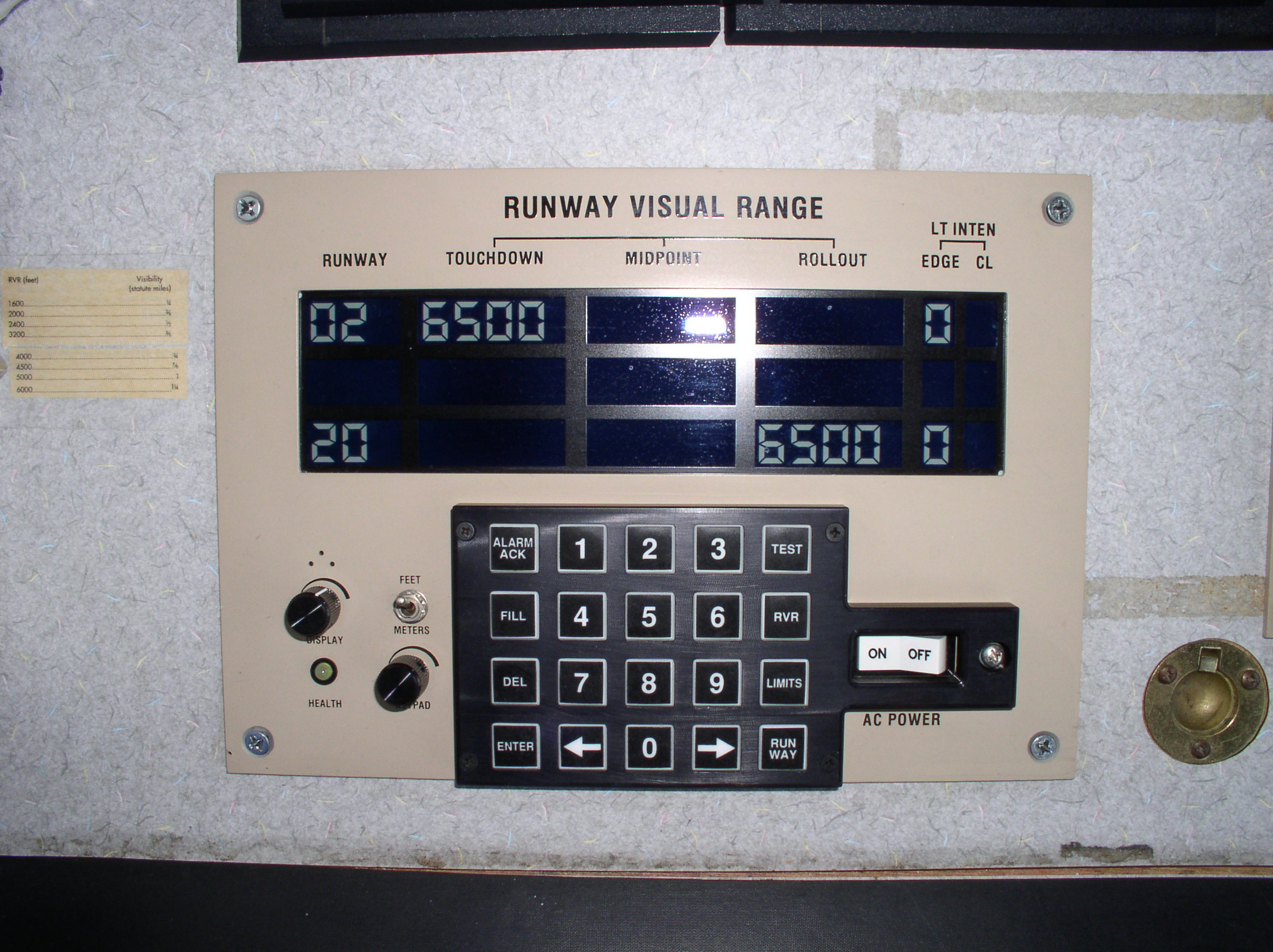
| (South view): This is the Runway Visual Range (RVR) for the approach end of Runway 2. On a foggy day, the "6500" number represents the distance in feet pilots can expect to see down the runway when their aircraft is near the surface. The number varies with the intensity of the fog. "6500" feet is a fairly nice day. |
|
|
(South view): On the left is the Automatic Terminal Information Service (ATIS). It is basically a digital tape recorderfor weather info - a telephone-type handset is attached. On the right is the ILS Monitor - if the light is yellow/green, it's working; if the light is red, it's broke. It also puts out an aural alarm. |
|
|
|
|
 |
|
|
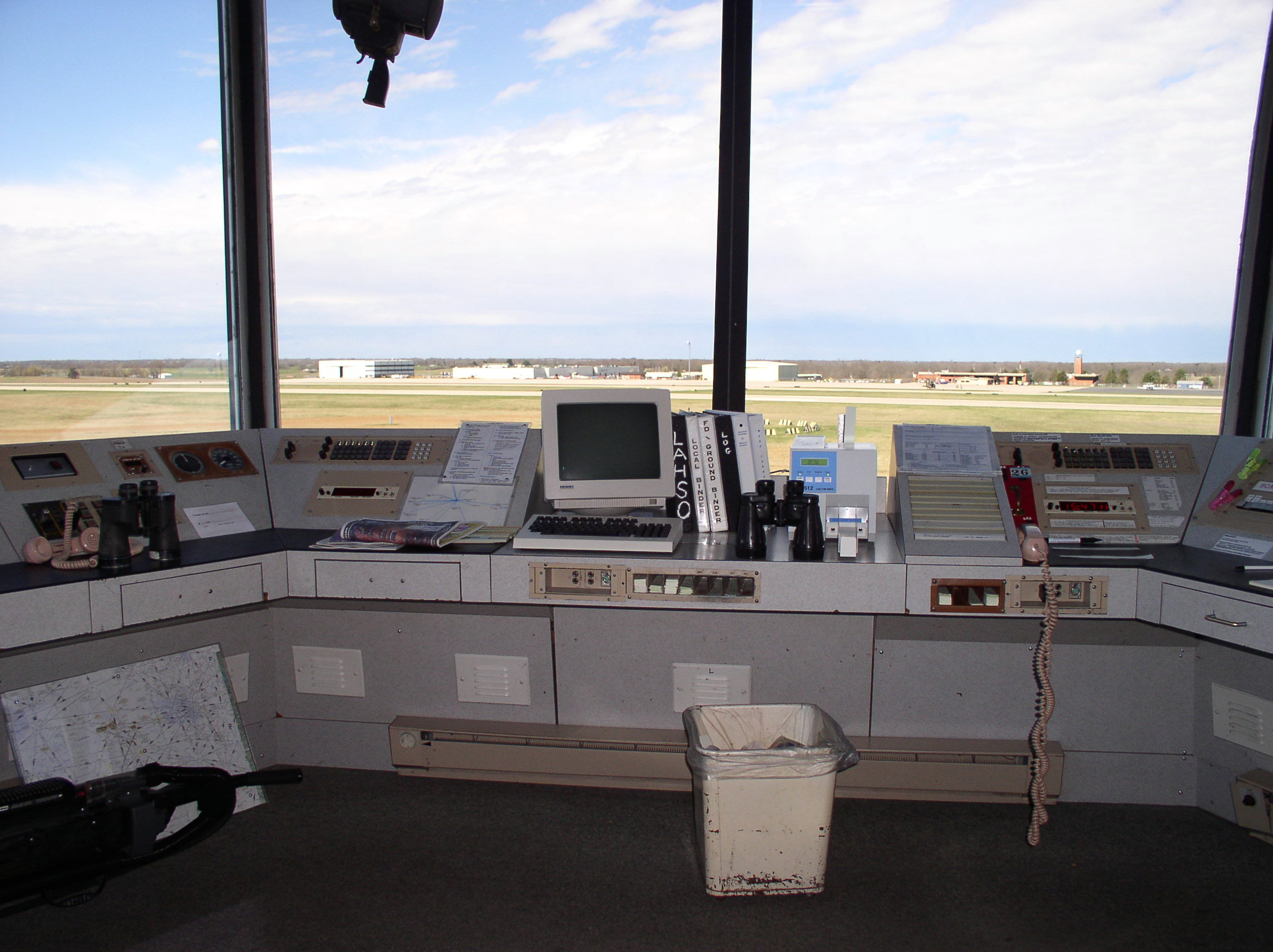
MORE TOWER TOUR |
|
|
|
 |
|
|
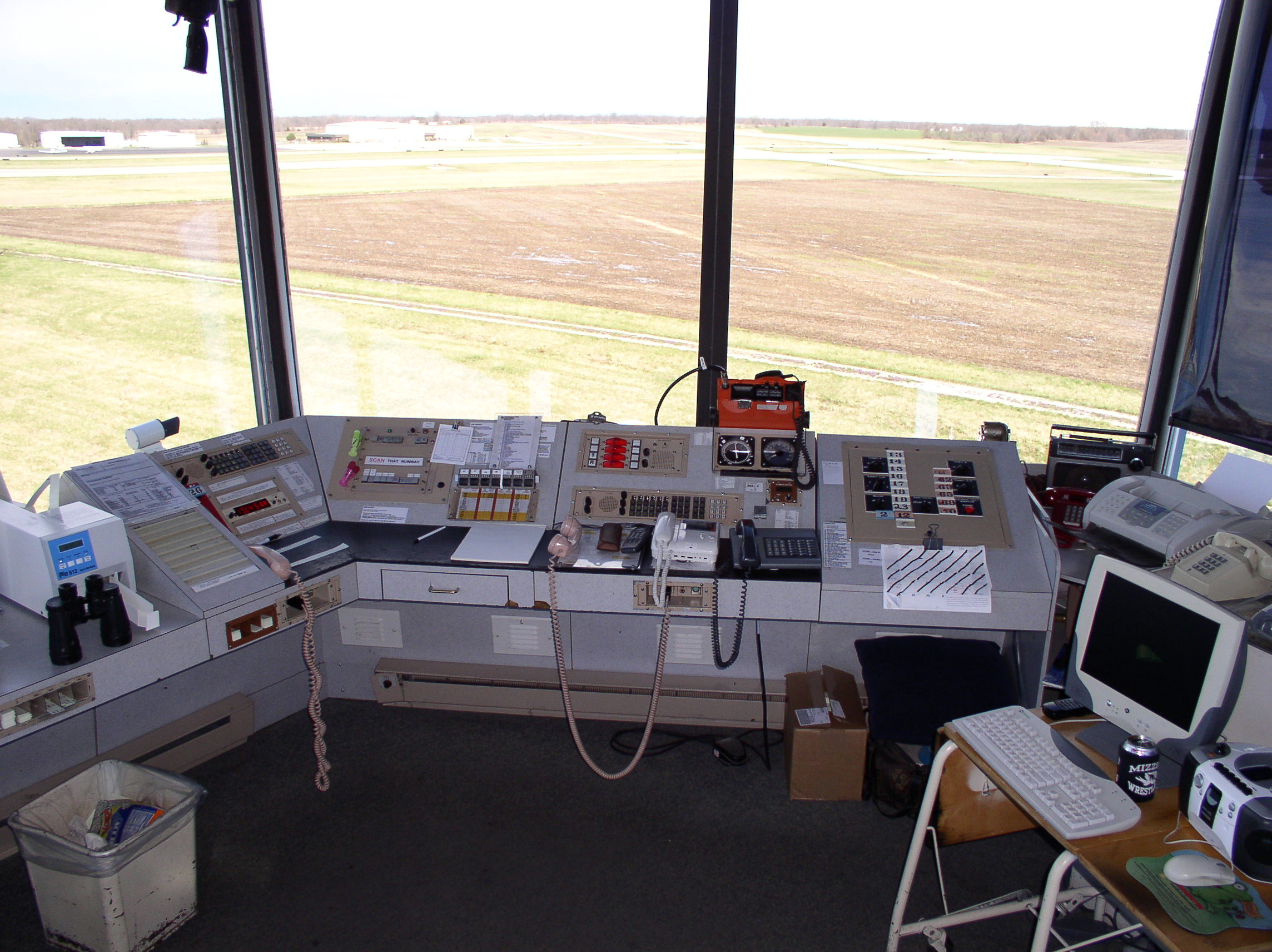
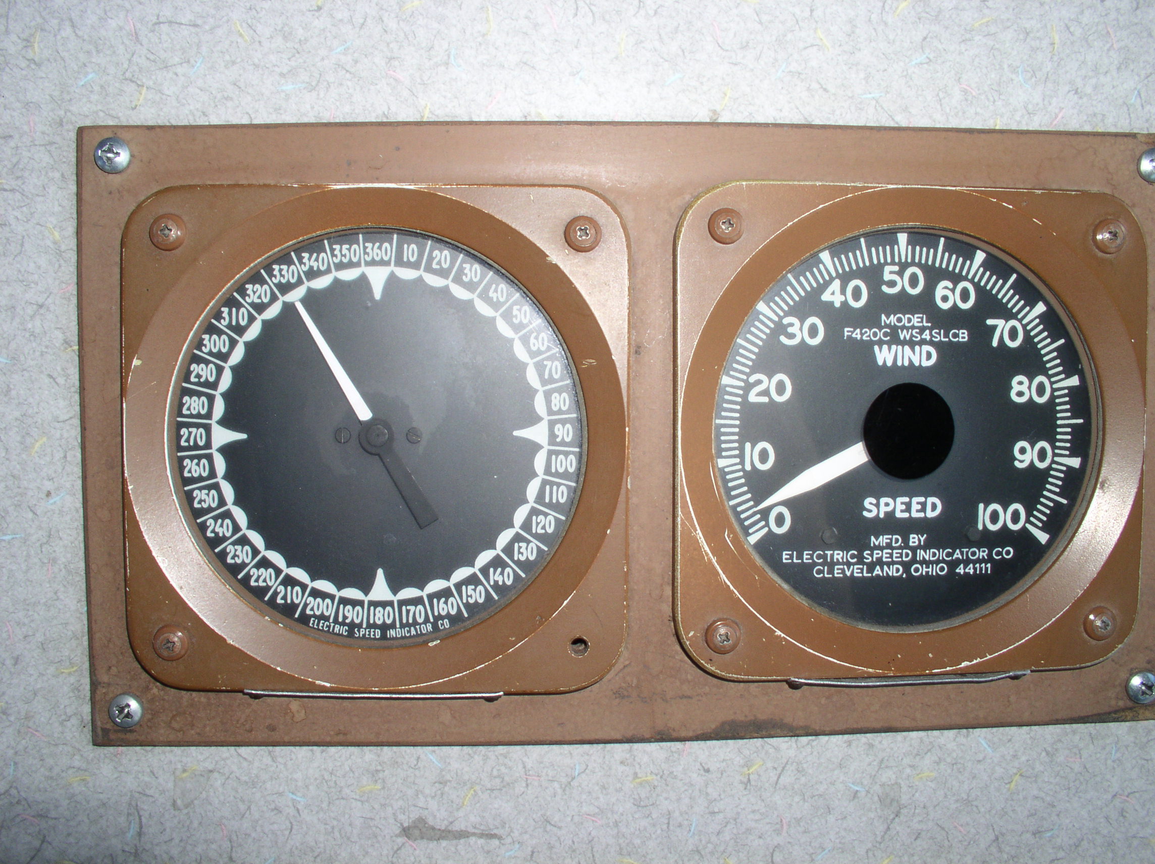
| This is one of two wind indicators. The left dial shows the direction the wind is coming "from". In this case, the wind is blowing from the northwest toward the southeast. The right dial shows speed of the wind in knots. We can also get a one-minute average wind reading off of the ASOS screen shown above. |
|