|
 The High Iron Ride

Date: August 26, 2000; 8am for breakfast
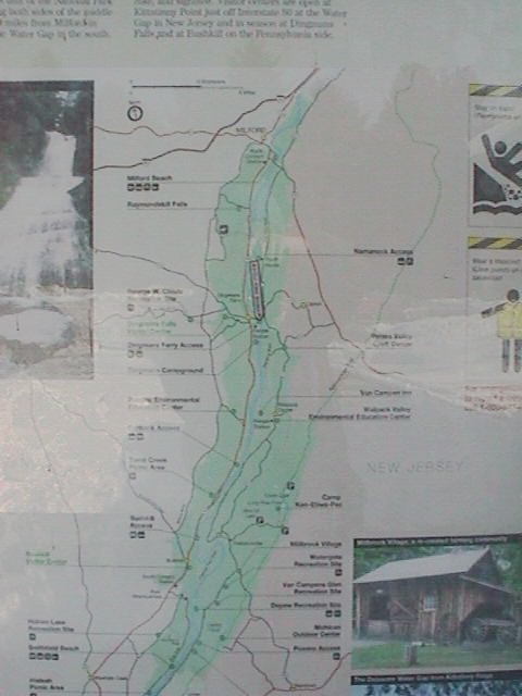
- 9am depart- Tentative Route is about 250 miles finishing up near the Delaware
River at I-80.
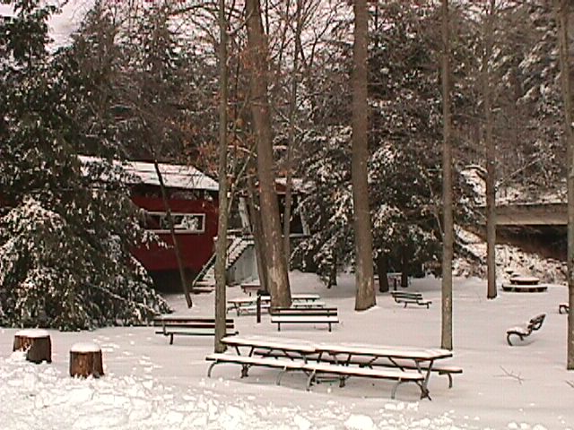
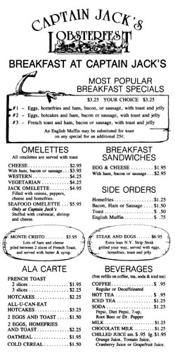
Location: Captain Jack's Lobsterfest
(card), 6305 New Berwick Hwy (US-11),
Bloomsburg, PA Just south of I-80, Exit 36S. Map
of area.. Look for the
boat. Here's their Breakfast
Menu.
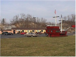
Nearby Lodging: Budget
Host-Patriot Inn, right next door. Rates are $45 per single,
$50 as of Feb 20, 2000. Suites available for $75. (card)
I'll be staying here Friday night.
Nearby Camping: Nescopeck- Paradise
Campground (800)379-3730 $18; Bloomsburg- Indian Head (570)784-6150 $18;
Bloomsburg (Millville)- Shady Rest (570)-458-6327 $12; Rickets Glen State Park
reservations not available (570)477-5675.
What is "High Iron"?:
For as long as I can remember, I have had a "thing" for railroad
bridges- I still search them out. The old ones with their intricate steel
arches and trusses, the stone ones, that were assembled virtually by hand, have
always amazed me. As the railroads die, these artifacts of "When the
Rail Ruled" are getting harder to find. Surprisingly, some are still
in use, every day- the Carrollton Viaduct (the first stone arch rail viaduct in
the US [world?]) here in Baltimore still carries daily rail traffic. Most,
however, are abandoned, just left to rot under mother nature's wrath.
This particular ride is to search out some of the "lost souls" of
the era when "Rail Ruled". We are not
going to the rail museums or Steamtown,
USA in Scranton- while worthwhile, these are tourist traps better
saved for family outings in your cage. Our goal is ride under/ over/
on these manmade anachronisms, admire their simple purpose (convey freight),
and ride some twisties in between!
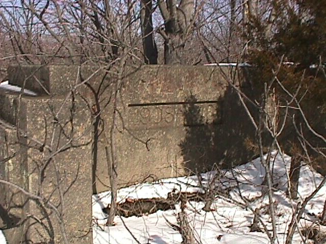
Most of these are from the gone, but not forgotten Erie-Lackawanna
Railroad built between 1910 and 1915 and were the first commercial application
of reinforced concrete on this scale.
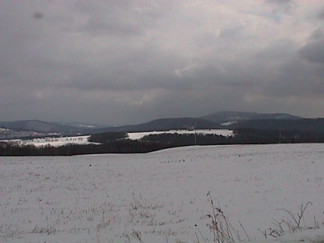
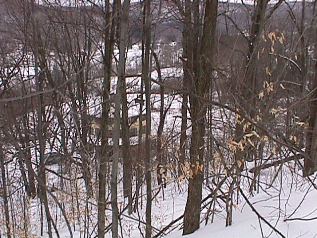
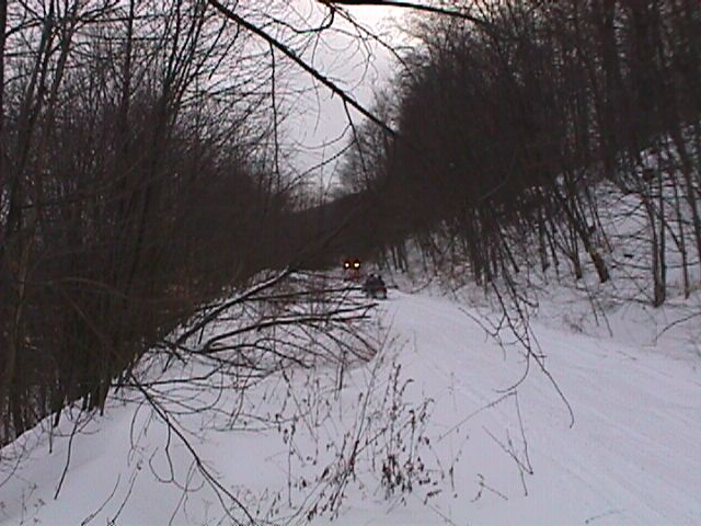
Jean and I visited the area over Presidents Day Weekend, and were very
impressed. Click the images to see larger versions.
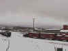
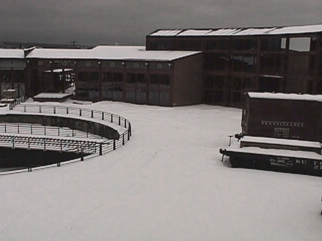
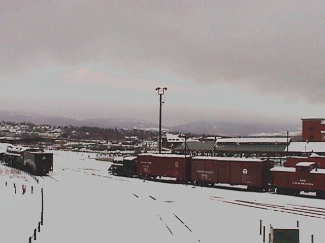
From Steamtown, USA
|
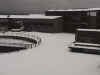 |
 |
| The Round House |
- The Yard- note the working
- locomotive waiting for a clear track
- (upper right). The steam engine on the
- left is a 4-8-8-4 Big Boy from the
- Union Pacific weighing in at 1,000,000 lbs:
- that's right, 500 ton.
|
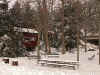
You really can't get a feel for the size of these structures and machines
until you're right next to them. Massive only begins to describe them;
immense, huge, extremely large, Security Squad sized
comes to mind, but just doesn't seem to be "big enough"..
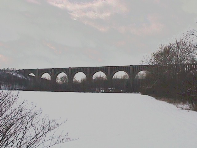
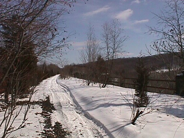
Here is a sample listing of some of the sights on the route-follow the
links to photos (external links courtesy of railfan.net's archives. There
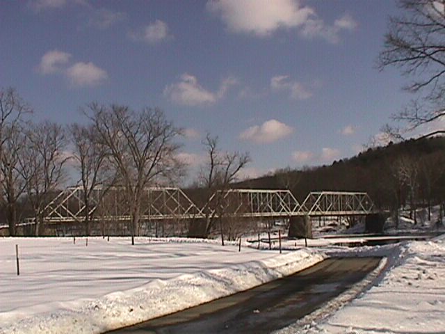
are a total of 4 covered bridges, 1 rail tunnel, 3 iron rail bridges (1 long
one) and 4 major rail viaducts, plus numerous smaller ones, along the planned
route. We'll also do a 1500 foot in 3 mile climb (at 18% grade) and
several roads with turns so tight and fast that if you're not careful, you'll
knock your helmet on the guard rail.
Enjoy.
 |
| Twin Covered Bridges |
 |
|
|
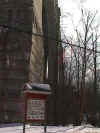
- The "Neck"
- home of the
- Vosburg Tunnel.
|
 |
|
|
 |
 |
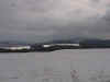
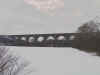
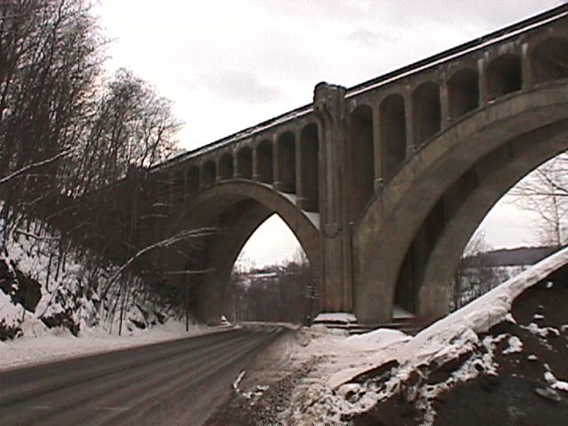
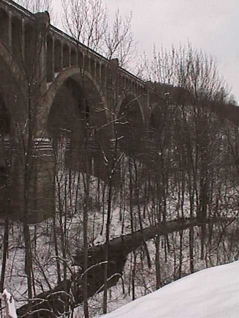
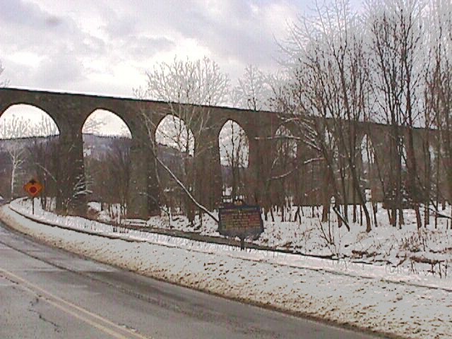
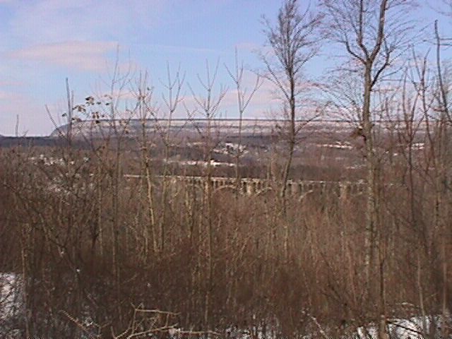
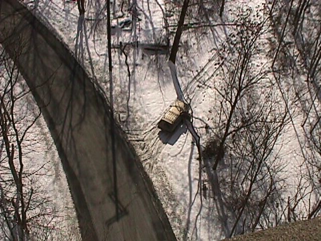
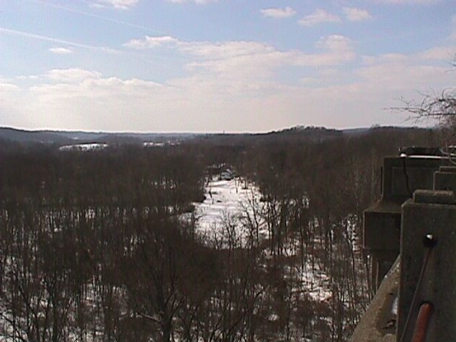
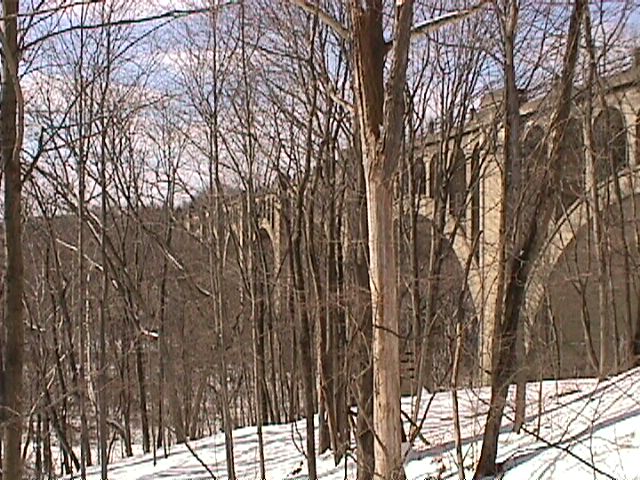
- Tunkannock Viaduct
- (aka Nicholson Viaduct)
- from about 1/2 mile east-
- ride photo-op
|
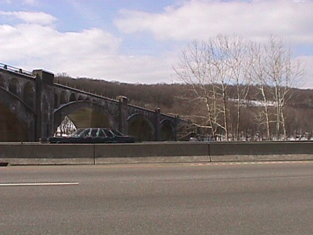
From underneath |
|
|
|
If you have any suggestions or comments, please
email me. |


