Reservoir Page
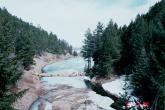
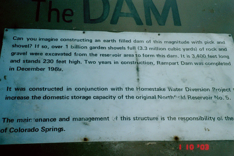
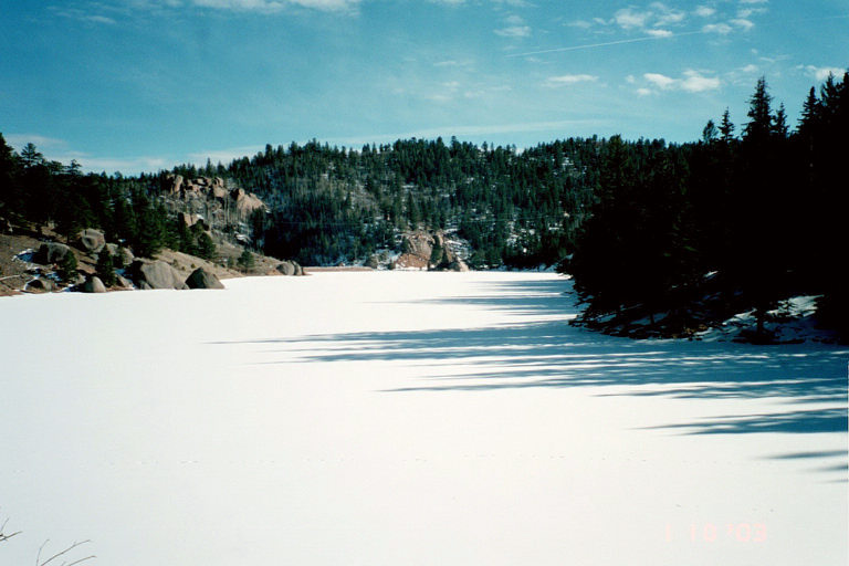
Northfield Reservior and Trail 713
My Rating for hikers: Easy. Would be good for beginners or for warm-ups.
My Rating for bikers: Not really meant for bikes. The beginning part would be rough, but once onto the road the trail is do-able, but very steep.
How to get there: From Colorado Springs head north on I-25 to S. Entrance USAFA (Exit 150). Once into Academy follow Stadium Blvd. and take a left turn onto Pine Drive. Pass Air Academy High School and take another left at the Fire Station. Once onto this road follow it to the mountains without taking any turns which leads you past all the water treatment plants and to the trailhead.
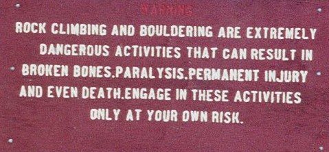
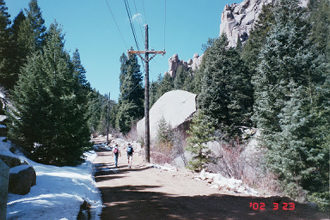
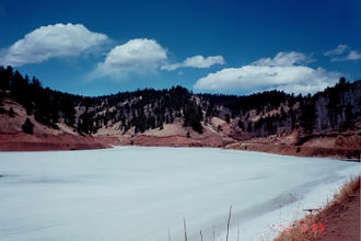
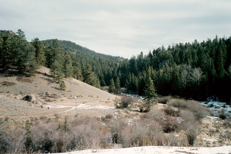
Description: If you don't want to jump a fence then start at the trailhead and follow the trail westerly until it heads down onto a utility road for Colorado Springs utilities. Keep following this road west for a mile or so until you reach the Trail 713 cutoff to Stanley Reservior, or keep heading on the road to Northfield Reservoir (another 2 miles). The road is steep, but in good condition. Try to stay on the road if you decide to go to Northfield because it really does not look like they want people up there. Palmer Lake Reservoirs
My Rating for hikers: Easy. Would be good for beginners or for warm-ups. More trails past the 2 Resvrs.
How to get there: From Colorado Springs take I-25 North to Exit 161, and follow Highway 105 NW to the town of Palmer Lake. On the south end of town take a left onto South Valley Road and follow it to Old Carriage Road where you will take another left onto a one way dirt road. The trailhead is marked at a bend in the road.
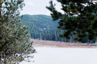
Description: Trail can be used for mountain biking, hiking, snowshoeing, cross country skiing. The trail is easy to follow and is a wide trail most of the way. The first reservoir is only .6 of a mile up the trail, and the second another .6 mile. The valley is very pretty, but nothing spectacular. Rampart Reservior
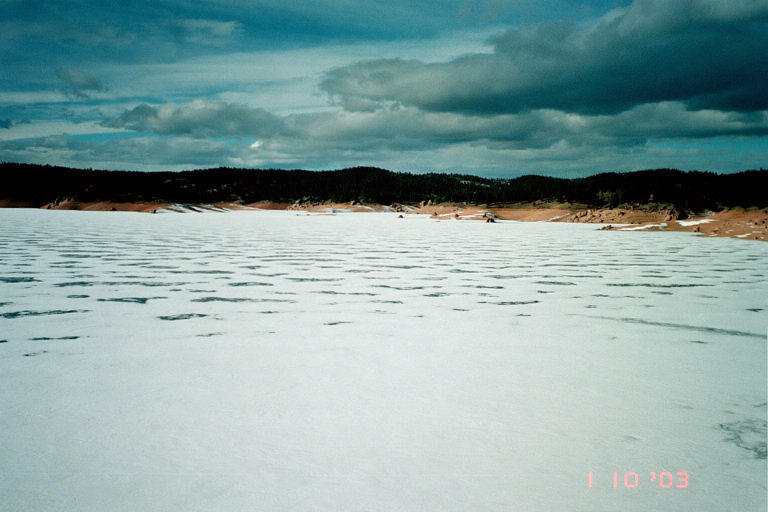
Distance: 13.5 mile loop
My Rating for hikers: Easy. While the trail is long, it is flat and just follows the shore. Other trails can take you to Stanley Resv. (3.1 more miles), and Nichols Resv. (1.8 more miles), and Northfield Resv. (appx. 3-4 more miles).
My Rating for bikers: A narrow trail, and some tricky rocks made this a little bit difficult for me. Other more experienced bikers would classify it as as easier to medium difficutly. Make sure you ride it in a clockwise direction.
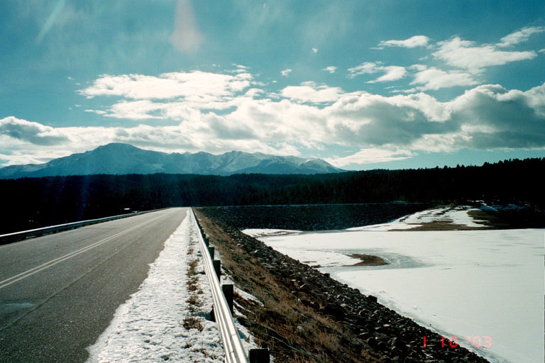
How to get there: From Colorado Springs head west on Highway 24 over Ute Pass and into Woodland Park. Once in Woodland Park take a right turn at the McDonald's and follow the road past the Woodland Park schools and onto Rampart Range Road. You will have to take 2 right turns (follow the signs). Park on the left side of the road 2.2 miles south of the Schubarth Road intersection you came from.
Stanley Canyon Trail 707 and Reservior
Distance: 5 miles roundtrip
My Rating for hikers: Hard. First half of trip is very steep with rocks to hop over, and definitely lot's of ice in the winter, and running water over the trail in summer. From Stanley there are plenty of other trails. These trails can take you to Northfield, Nichols, and Rampart Reservoirs (3.1 more miles).
My Rating for bikers: Do not attempt!
How to get there: From either entrance to the USAFA go to the base hospital and take a westerly turn onto the dirt road just S. of the hospital. Follow the dirt road to the trailhead.
Nichols Reservoir
Distance: 1.8 miles from Rampart Reservoir


 My Rating for bikers: Hard (with more trails west of reservoirs). Trail is very steep climb for 1.2 miles, then levels out, but only briefly past the upper Reservoir. The trail divides off in a few ways. If you head NW from the Upper Resvr. you will take the Winding Stairs Trail (have not tried). If you head SW you will follow a good two track which is called Balanced Rock Road. I followed this road for about 1.75 miles from the gate past the Upper Resv., and it was up the entire way. I found it to be very difficult, but it was very hot. Either way, expect a workout. The ride down took what seemed like only a few minutes, but was AWESOME! I got high enough to be able to look out towards the small part of the Palmer Lake Area that I could see, and was riding along a ridge line. What I would recommend for Springs area residents to have someone drop you off on Rampart Range Road and follow the road road down into Palmer Lake, or out onto the New Santa Fe Trail.
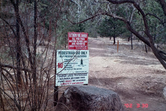
Go back to Blodgett Peak homepage.