| Home |
| Second page |
| Third page |
| Fourth page |
| Last page |
BATU PAHAT ( Bandar Penggaram )
Batu Pahat was founded in 1893 by Datuk Bentara Luar Mohamed Salleh Perang on the orders of the then Sultan of Johor, Sultan Abu Bakar. The town was officially named Bandar Penggaram (loosely translated as Salt-Makers' Town) but the name is seldom used as the town folks continue to use the name Batu Pahat. This may be due to the fact the residents and visitors found it difficult to pronounce Bandar Penggaram.
Batu Pahat is located on the coast of the Strait of Melaka in the state of Johor. It can be reached from the North-South Highway thru the town of Ayer Hitam. The coastal road from Pontian in the south runs thru Batu Pahat northwards to Muar and Melaka. Batu Pahat is the second largest manufacturing economy in Johor.
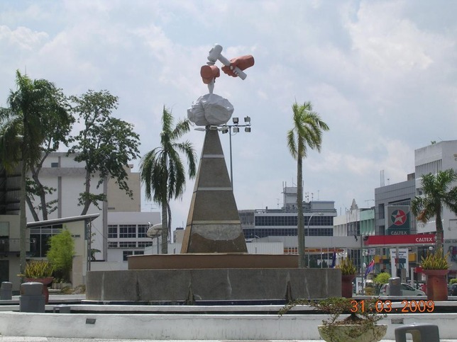
BATU Pahat can be translated as chiselled rock or rock and chisel. However, the town square named after Batu Pahat’s original name, Bandar Penggaram. Whichever the literal translation may be, the origins of Batu Pahat is shrouded in uncertainty.
The story accepted by historians is that it is named after a rocky well, known as the Batu Pahat well, which was dug and chiselled by Siamese troops in the 15th century in Kampung Minyak Beku. Historical records state that Admiral Awi Di Chu or Awe Di Chu, who led the Siamese army, had been instrumental in building the well. The army camped in Batu Pahat prior to the assault. The well is now a landmark as well as a tourist attraction in the district.
Another version is that the Portuguese after seizing Malacca, built the A Famosa fortress with granite rocks. They got the rocks from quarries at the mouth of a river now known as Sungai Batu Pahat. The areas where the quarries were located were known as Batu Pahat and this is where Batu Pahat got its name.