FATHERLAND / MOTHERLAND
FATHERLAND / MOTHERLAND
Turtle Island is an island of 31,313 sq. km. The highest mountain is Broilla (also known as Sacred Mountain) coming in at 2,113 meters. The longest river is the Pyxis. The largest lake is Darwin Lake within Cyclanorbis Massif. The island is divided into nine lands: Chelida, Pelomedusida, Chelydrida, Dermochelyida, Emydida, Cheloniida, Kynosternida, Testudinida and Tryonichida whose capitals are the cities of the same names.
Time: Time in Turtle Island is as GMT.
Climate: Turtle Island has a temperate climate, winters are not very cold and summers not very warm. The influence of the sea, and Turtle Island's nature mean that visits are possible at any time of the year. Average temperatures in the clodest months of January and February are 8ºC rising to between 21ºC and 27º in the summer months of July and August. It is during this time that rourism is at its peak. The brightest months are May and June. Rain can be expected at any time of year, the driest part of the island is the greater Testudinida area on the South.
Language: Turtle Island has two official languages, Turtleislander and Tortoiser. Turtleislander is the everyday language used by the vast majorityh of the population. At Chelida land small communities do exist where Tortoiser, a language mix of Turteislander and Gaelic, is the spoken language.
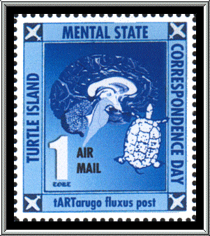
Permanent Collection
Gift of the artist
![]() Continue . .
.
Continue . .
.![]() Prior
. . .
Prior
. . .
![]() Catalogue . . .
Catalogue . . .
![]() Museum Entrance . . .
Museum Entrance . . .![]() JCM Site Map . . .
JCM Site Map . . .