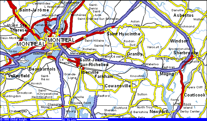
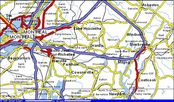

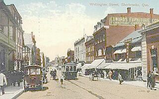
The Sherbrooke region covers the municipalities of Ascot, Bromptonville, Deauville, Fleurimont, Lennoxville, Rock Forest, St. �lie d'Orford, Sherbrooke and Waterville.
Lennoxville is located along the banks of the Massawippi,
St. Francis and Ascot Rivers in the south central part of the
Eastern Townships of Quebec. It is five km from
Sherbrooke (with a metropolitan population of 125,000)
and within an hour's drive or less of several American
border crossings. Nearby highways 10 and 55 provide
easy access to Montreal, 90 minutes away, and Quebec
City, a two and one-half hour drive away. Map2
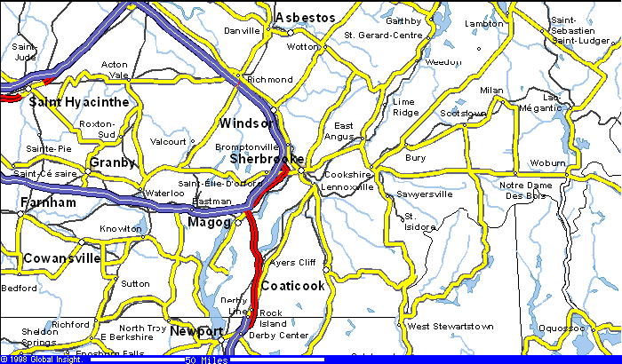
Ayer's Cliff,
Situated in southern Quebec,Canada on Lake
Massawippi.Fifteen miles north of the Vermont
State border ,twenty miles south of Sherbrooke
Quebec and twelve miles east of Magog in the
Eastern Townships. Map2
5/22/01 10:28:57 AM
 CANADA
 Montreal