|
|
|
Access InformationTo reach Shoreline at Mountain View directly from the south,
take Hwy 101 to the Shoreline Blvd. exit. Shoreline Blvd. leads
directly into the main entrance of the park. From the north, take Hwy
101 south, exit at Amphitheatre Parkway, then turn left at Shoreline
Blvd. to the park entrance. The start of the Shoreline Trail is near
the Crittenden Lane Trailhead. Crittenden Lane is east off Shoreline
Blvd. before the entrance to the park. The back side of the park can be
reached by taking Hwy 101 to the San Antonio Avenue off-ramp and
heading north. San Antonio turns right at Terminal Blvd. There is
parking along Terminal Blvd. Trails lead into the west side of the
park. The park can also be reached from the Bay Trail along East
Bayshore Road from Palo Alto, or back along the Palo Alto Baylands
Marsh trail. |
|
Description and ViewsShoreline Park's main entrance is
at the end of Shoreline Blvd., just past the Shoreline Amphitheatre.
Just before you reach the main entrance, you can turn down the road to
the right to reach the dog park, which has its own parking lot.
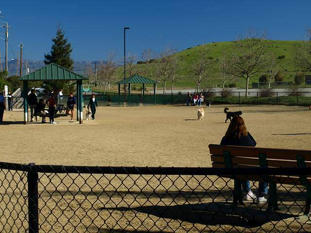 Off-leash dog park, Crittenden Hill in the background. 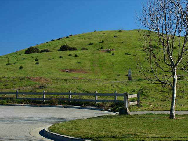 Continuing on the road past the dog park, you reach the base of Crittenden Hill. The trail starts just past the fence. 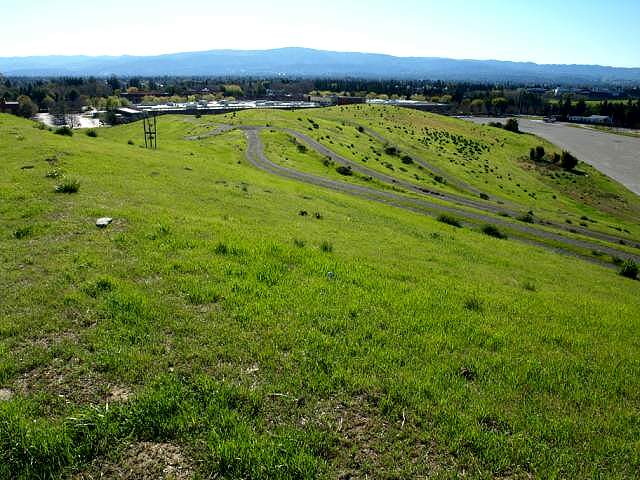 View from the top of Crittenden Hill. The next 3 pictures are from the top of the hill: 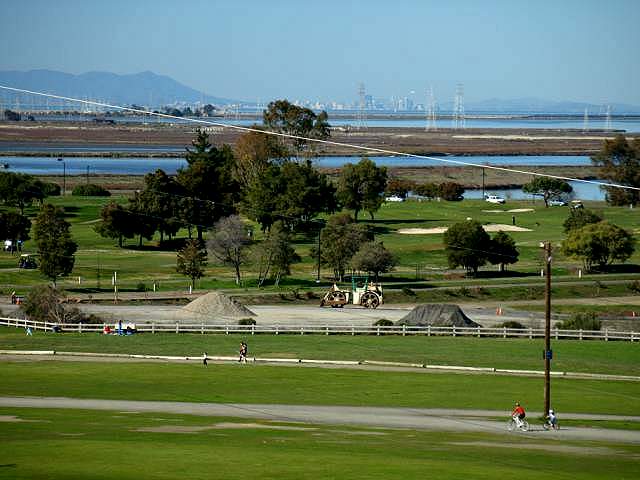 Mt. Tamalpais, San Francisco, Shoreline Golf Course. 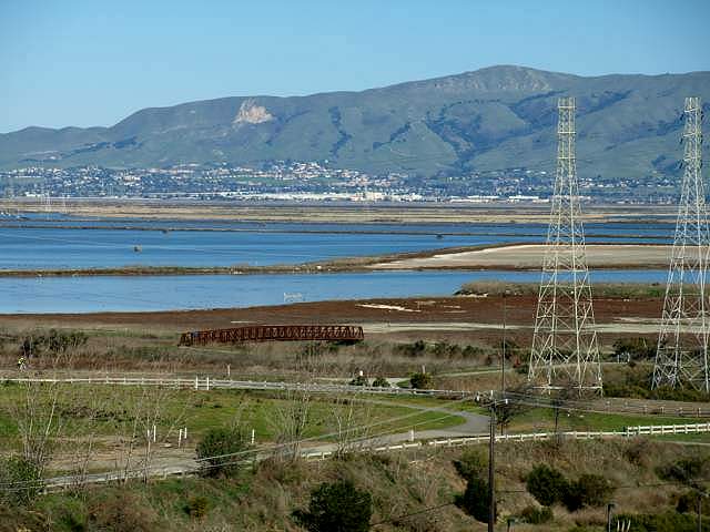 Mission Peak, Stevens Creek Shoreline Nature Study Area, Stevens Creek Trail 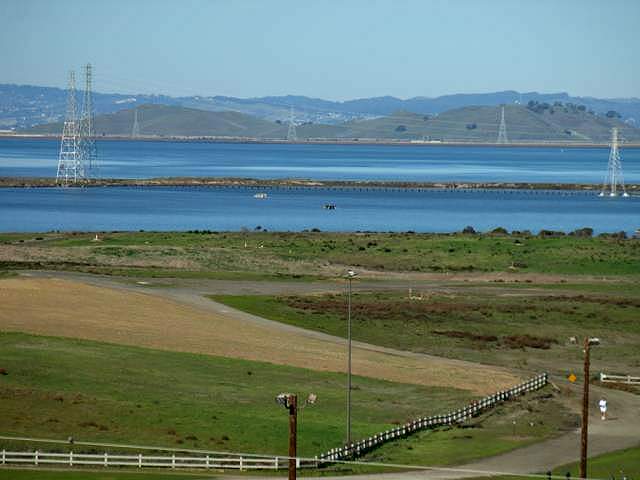 Coyote Hills Regional Park, burrowing owl habitat. Head back to Shoreline Blvd. into the main entrance of the park: 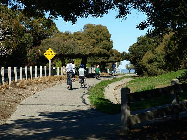 The trail runs along the park road near the park entrance. To the right is the kite-flying area. 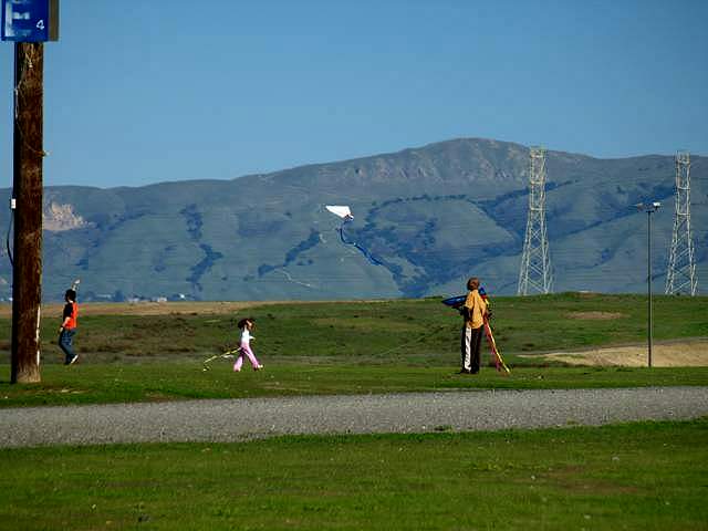 Just past the main entrance is the kite-flying area, in a large open field. There is a parking lot and restroom here. Part of the field is used for
overflow parking for Shoreline Amphitheatre. To reach the rest of the
park, you can follow the trail along the main park road. The most
scenic way into the park is from the Stevens
Creek Trail. South fo the kite-flying area is an access road that
leads east to the Stevens Creek Trail. Stay to the left when you reach
the trail. Take the trail west of the Stevens Creek Tidal Marsh. It
drops down at the end of the marsh and rises back to enter the main
part of the park. The trail runs at the base of retired landfill hills
and above a large salt pond.
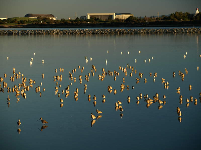
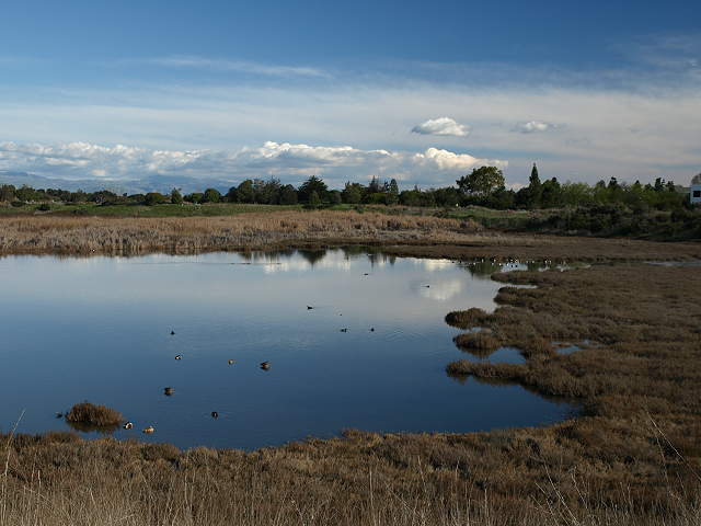
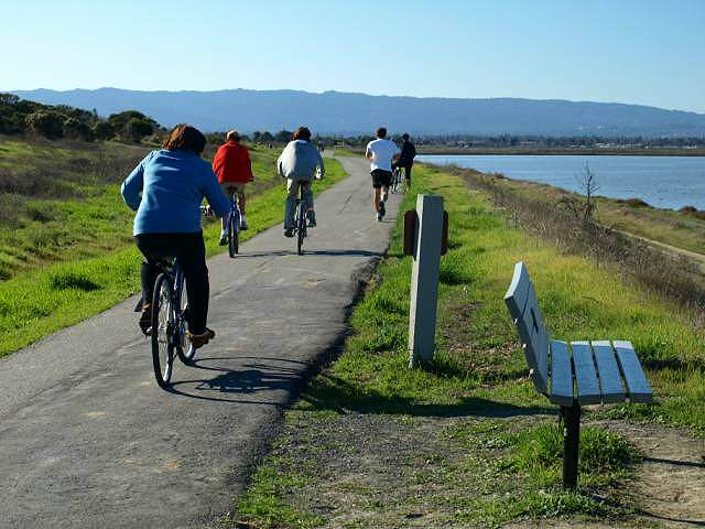 Trail above the salt pond near the end of the Stevens Creek Trail. 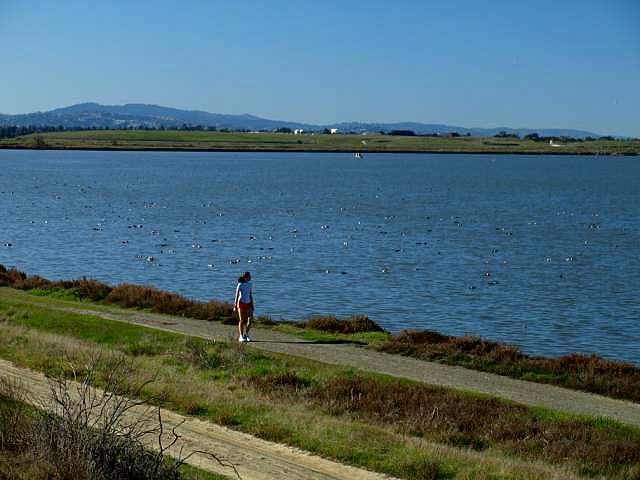 Lower path along the salt pond shore (on USFWS land, not part of Shoreline Park) 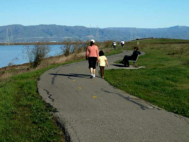 The field and hills to the right are burrowing owl habitats and off-limits. 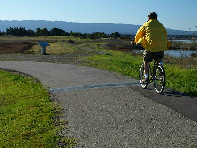 Ahead, a short spur trail leads to the edge of the Mountain View Tidal Marsh. 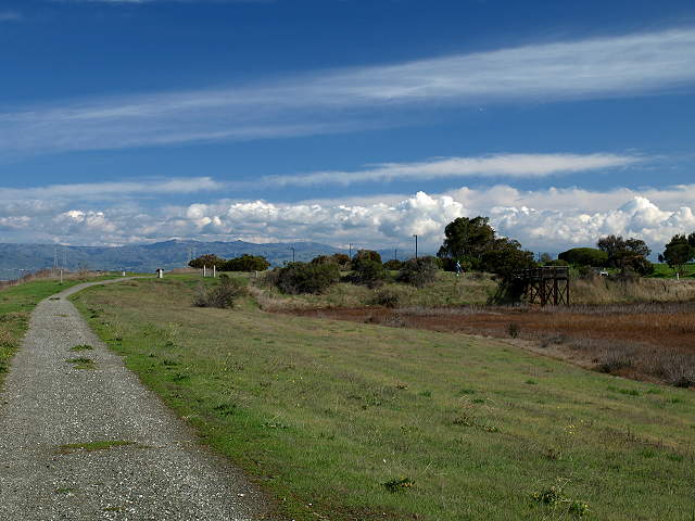 View back from the spur trail at the tidal marsh and viewing platform. 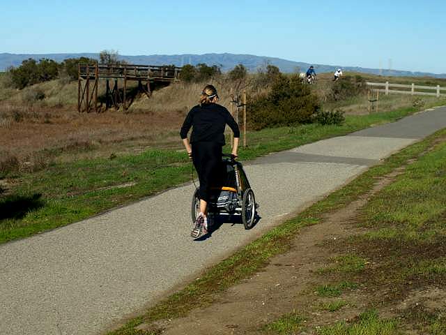 Viewing platform on the tidal marsh. 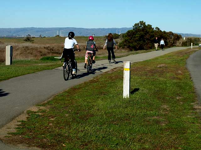 Here the trail runs between the park road and the tidal marsh.  Interpretive sign by the tidal marsh, with the Rengstorff House in the background 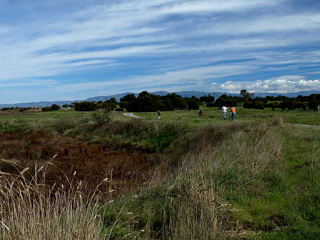 Looking back across the end of the tidal marsh 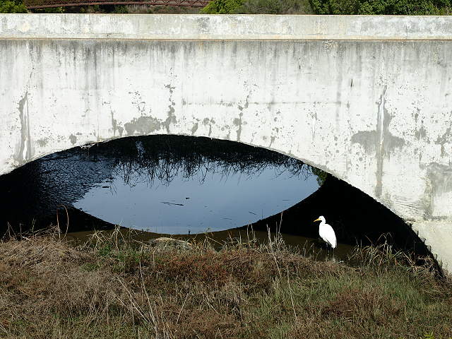 Great egret under the park road bridge 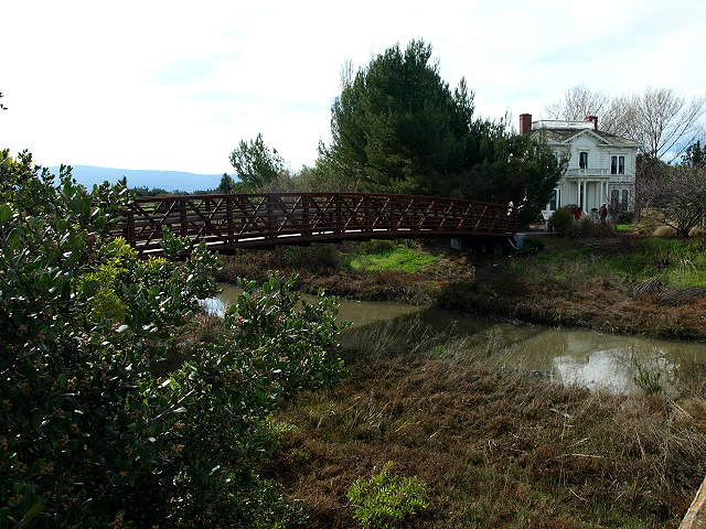 Pedestrian bridge across Permanente Creek to the Rengstorff House 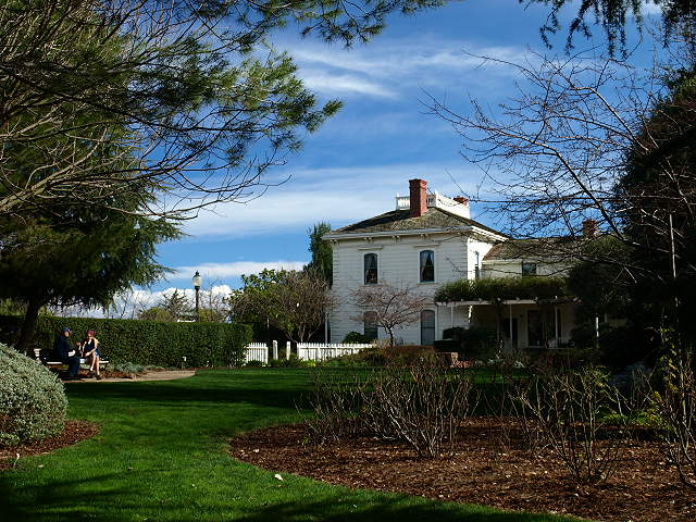 The Rengstorff House 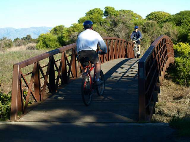 Bridge over Permanente Creek 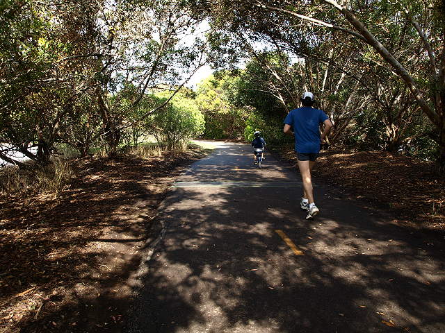 Trail near the parking lot for the Shoreline Boathouse 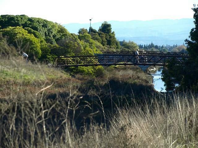 Looking up Permanente Creek at the bridge crossings. 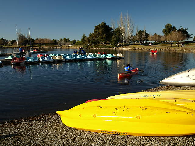 Shoreline Lake 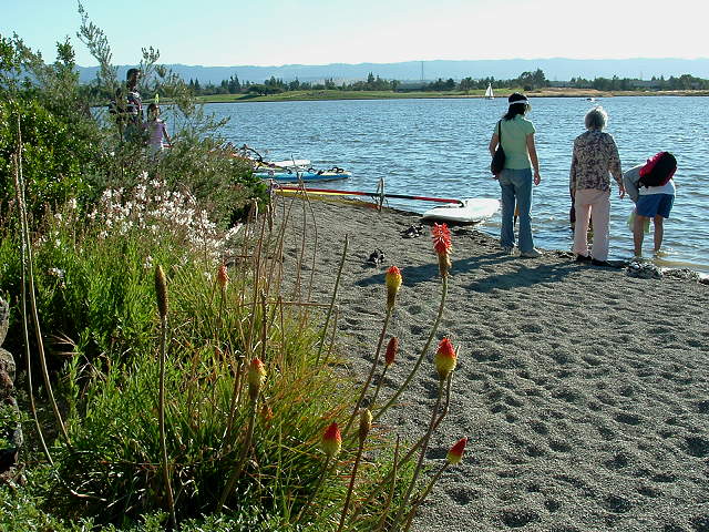 Shoreline Lake beach (6/4/06) 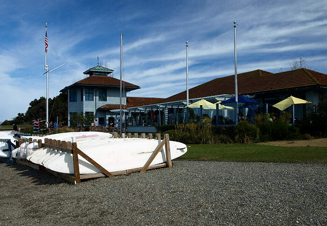 Shoreline Boathouse and the Lakeside Cafe 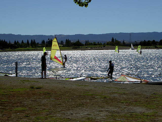 Windsurfers on Shoreline Lake (9/3/07) 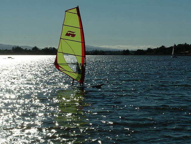 Windsurfers on Shoreline Lake (6/4/06) 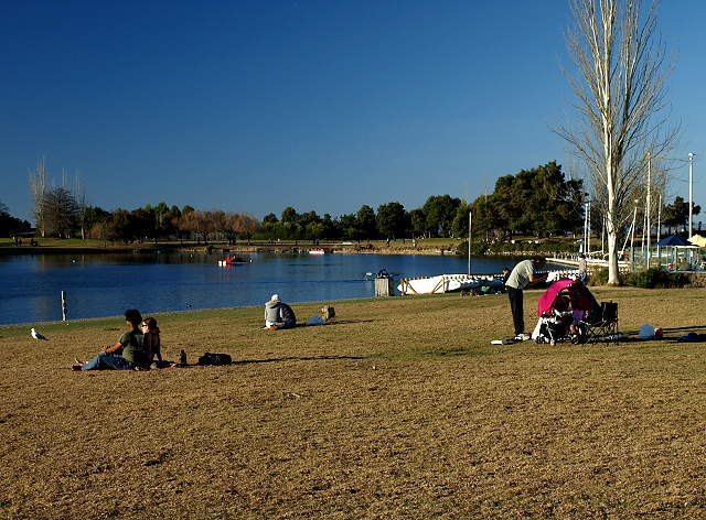 Lawn by the cafe 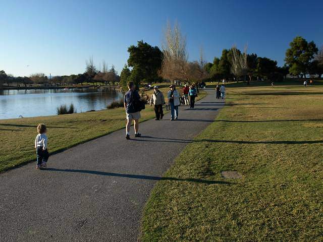 Path along the shore of Shoreline Lake 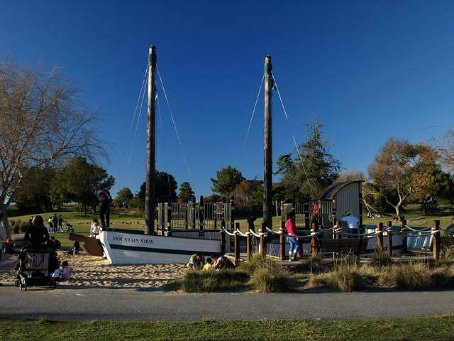 Play area modeled after a bay scow 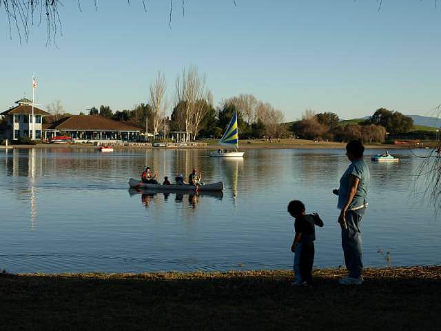 Shoreline Lake and the Boathouse 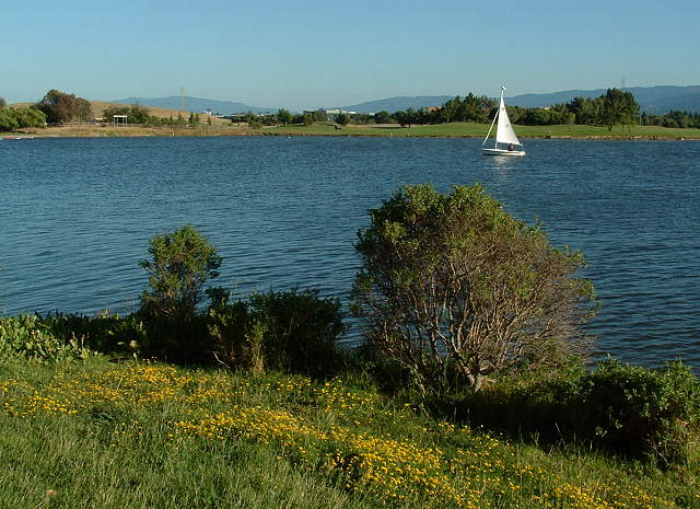 Sailboat on Shoreline Lake (6/4/06) Returning back to the trail along Permanente Creek and the tidal marsh: 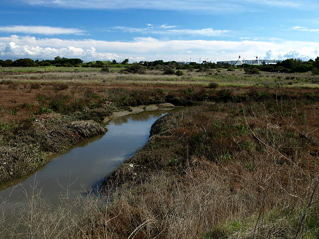 Looking back along Permanente Creek at the tidal marsh and the tents of Shoreline Amphitheatre 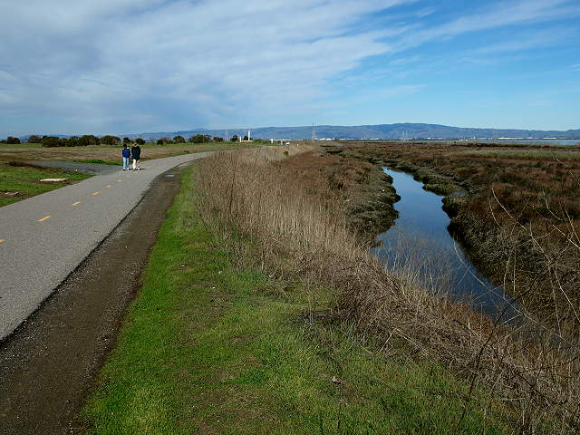 Looking downstream along Permanente Creek and the tidal marsh 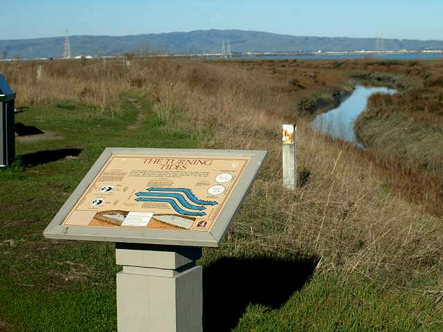 Interpretive sign by Permanente Creek and the tidal marsh. 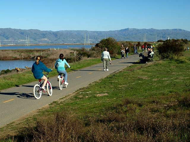 Trail along the outer edge of the park by the salt ponds  Trail along the salt ponds 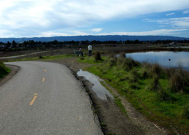 The trail turns and reaches a trail crossing. One part goes along the salt pond to the right. Another goes along the west shore of the lake. 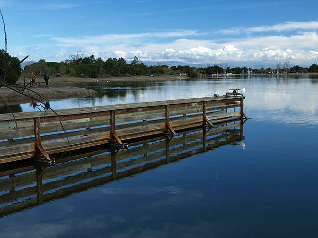 This pier (closed to the public) along the west shore of the lake leads to a water valve. The path to the left is pedestrian-only. 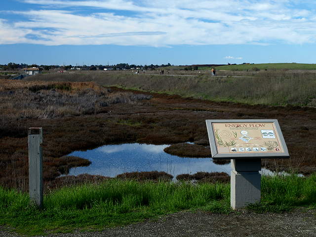 On the other side of the trail from the west shore of the lake is the Coast Casey Forebay. The trail on the west side of the
lake leads to a park entrance at the east end of Terminal Blvd. It then
leads to a service road on the west side of the Shoreline Golf Links.
The road turns and runs through the south part of the park, cutting
through the middle of western part of the golf course and crossing
Penintencia Creek. The next few pictures were taken on the south side
of Shoreline Park.
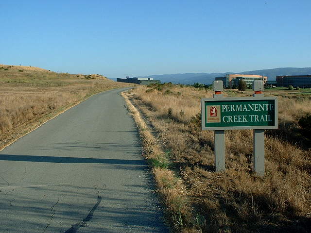 Start of the Permanente Creek Trail heading south (9/28/03) 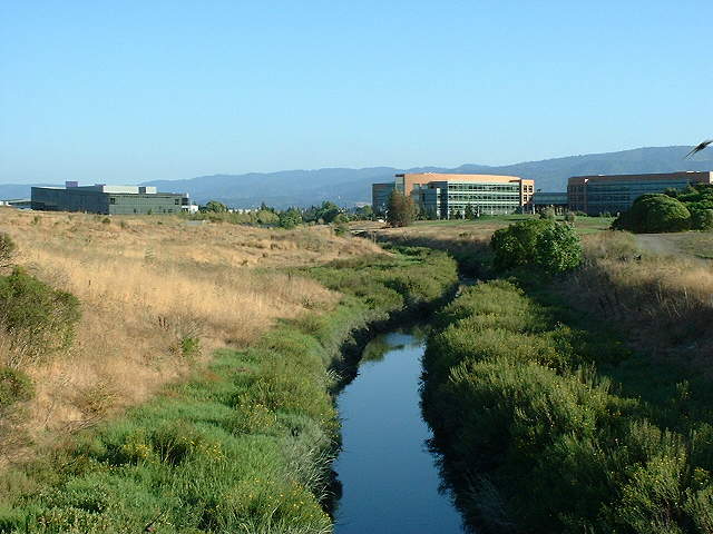 Looking up Permanente Creek (9/28/03) 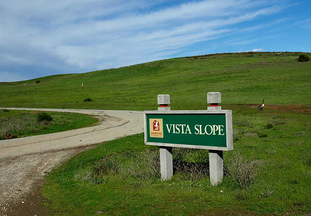 Along the Permanente Creek Trail is the Vista Slope, which is a retired landfill hill. The pictures below are from the Vista Slope: 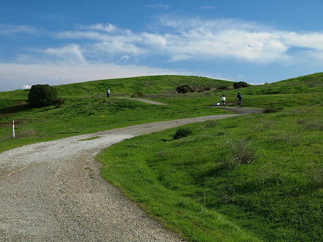 Heading up the trails to the top of the Vista Slope 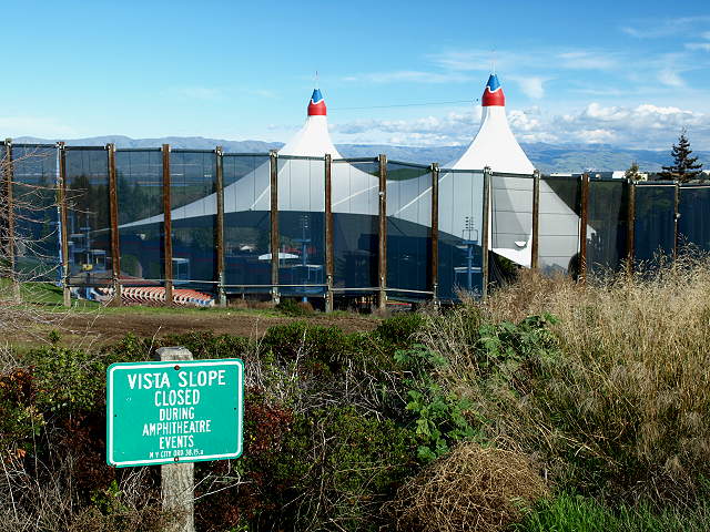 View of Shoreline Amphitheatre from the Vista Slope 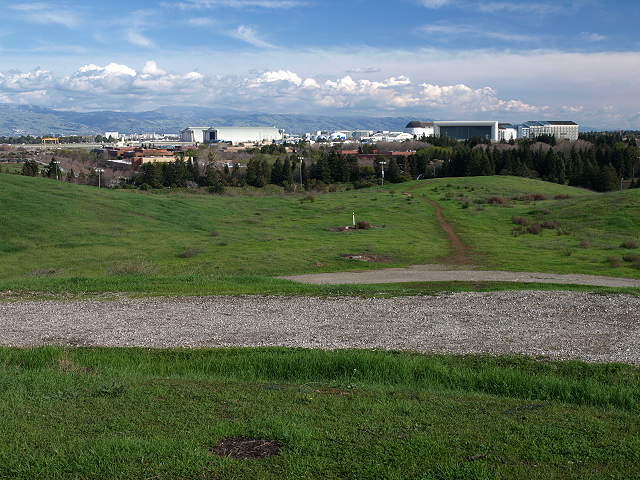 View of Moffett Field and Ames Research Center from the Vista Slope 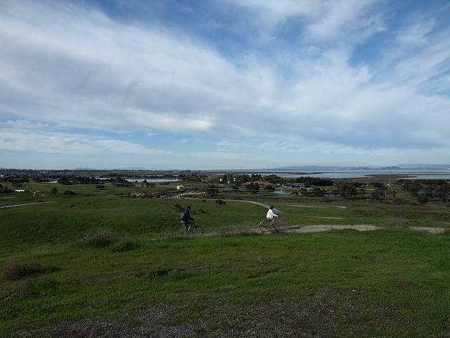 View of the Shoreline Golf Links, Shoreline Lake, and the Bay from the top of the Vista Slope 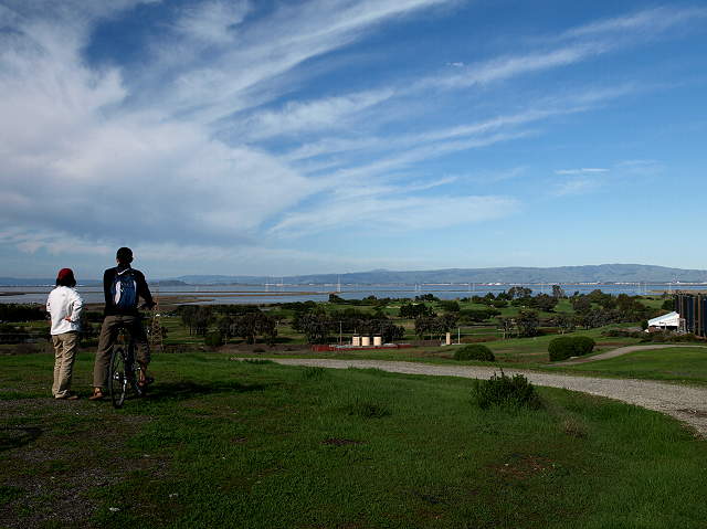 View of the waste gas burner, the Shoreline Golf Links, salt ponds, and the Bay from the top of the Vista Slope The pictures below are of the Permanente Creek Trail south of the Vista Slope: 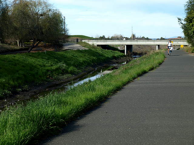 Shoreline Blvd. Bridge and the Permanente Creek Trail 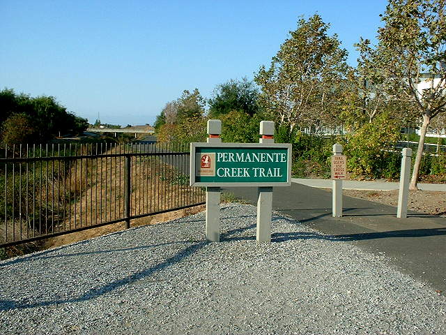 The Permanente Creek Trail head at Charleston Road, looking towards Amphitheatre Parkway (9/28/03) 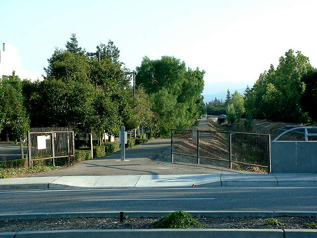 The Permanente Creek Trail continues on the other side of Charleston Road, ending at Hwy 101 (9/28/03) 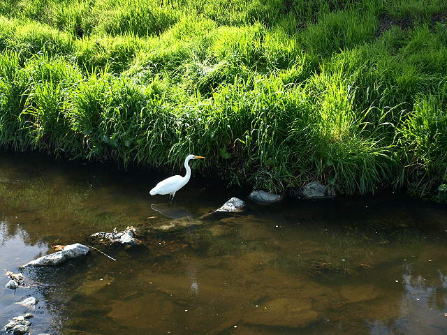 Great egret in Permanente Creek Returning back north on the Permanente Creek Trail to the Shoreline Golf Links: 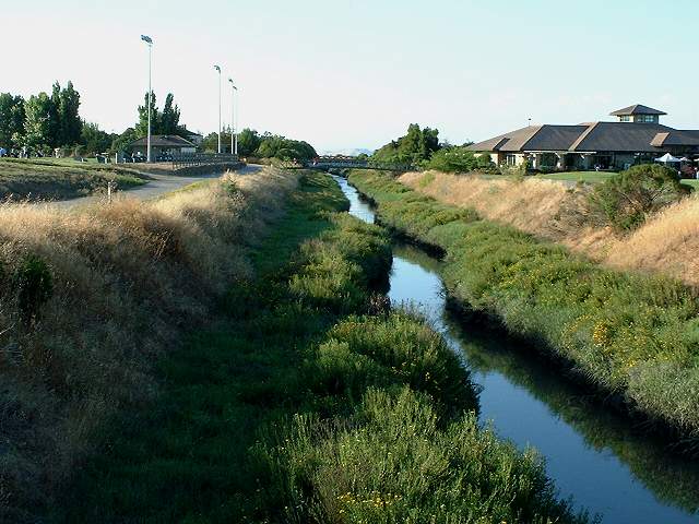 Looking down Permanente Creek towards the golf course (9/28/03). 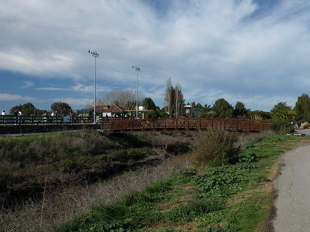 Bridge over Permanente Creek to the Shoreline Golf Links Driving Range The following pictures were taken on the west side of Shoreline Park: 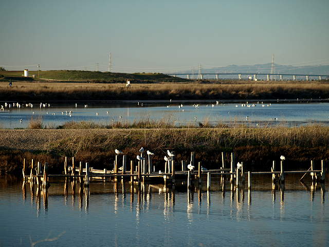 Birds on pilings in Charleston Slough 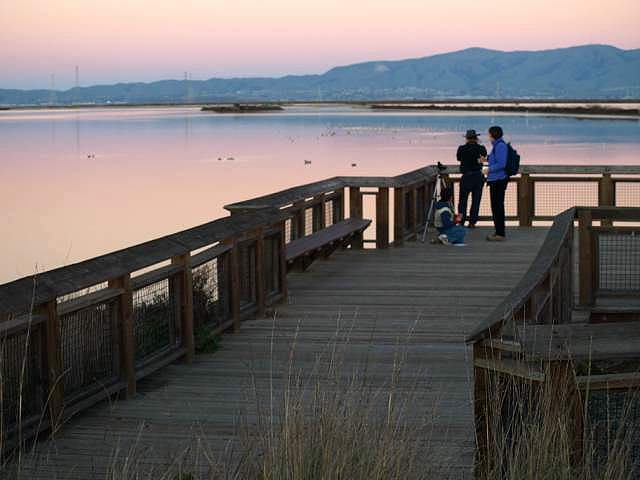 Viewing platform on Charleston Slough. 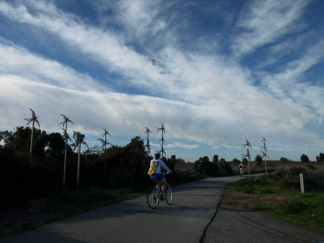 The southwest entrance to
Shoreline Park is near the corner of San Antonio Road and Terminal
Blvd. There is street parking along Terminal Blvd. There is a restroom
and drinking fountain at the entrance. The bird sculptures here are
called "Swift Crossing," by Rachel Slick, installed in 2008.
 Looking across the Coast Casey Forebay towards Shoreline Lake 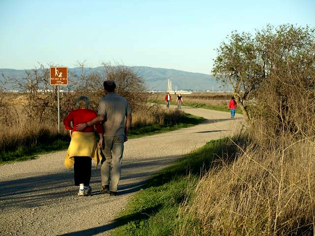 The gravel trail leading to the Palo Alto Baylands Preserve. To the left of the trail is Palo Alto. To the right is Mountain View.  Avocets and duck in Charleston Slough 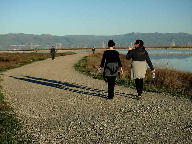 On the trail, with Charleston Slough on the right, Adobe Creek on the left. 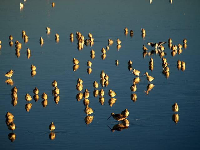 Shorebirds in Charleston Slough 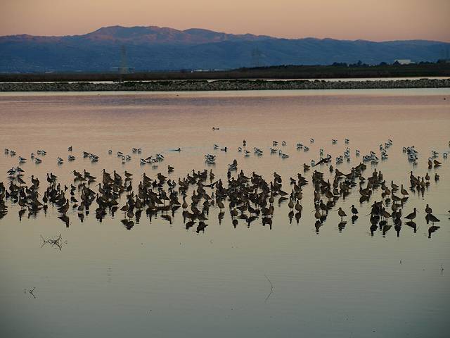 Shorebirds in Charleston Slough at sunset 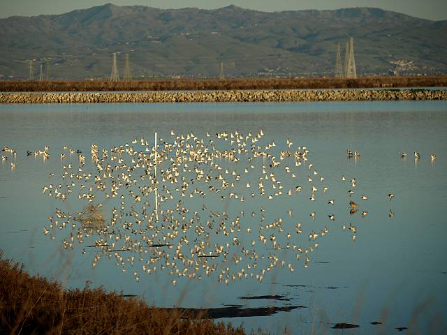 Flock of sandpipers on Charleston Slough The trail continues on past Charleston Slough and Adobe Creek. At the end of the slough, the trail turns west and enters the Palo Alto Baylands. |
|
Links
|