![]()
| OS Map Ref SD 801 125 |
|
Higher Woodhill Mill was originally built as a cotton mill in 1792, for Richard Calrow, but following the cotton famine of 1861-1865 it was converted to paper making. 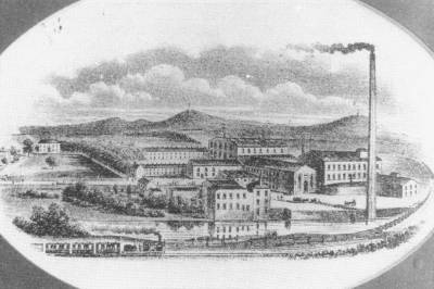 This is a rather stylised drawing of Higher Woodhill Mill circa 1870, which was used as the letterhead on the firm's stationery Higher Woodhill is in the area known as Burrs and can be reached along Woodhill Road from its junction with Crostons Road/Brandlesholme Road, or from the footpath starting in Dene Avenue, off Brandlesholme Road. To explore the grounds of the mill walk down the cobbled road on the right side of the iron sculpture on Woodhill Road.
|
|
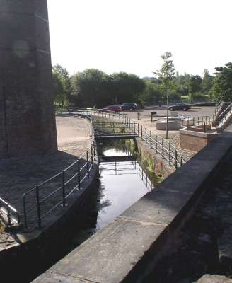
The water supply for Higher Woodhill Mill was taken from the canal feeder which runs alongside, via a weir near neighbouring Burrs Mill and along this channel which passes through the remains of Burrs Mill. |
|
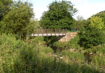
The water was carried in an aqueduct across the river Irwell but although the abutments remain standing, the aqueduct itself has been replaced by this footbridge leading to the Burrs Activity Centre. |
|
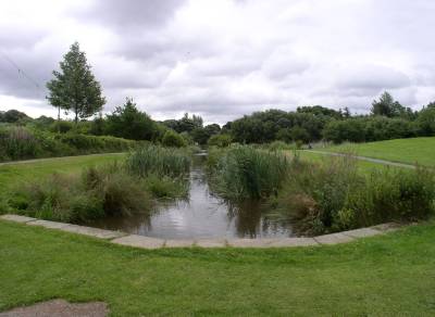
Part of the water channel, or 'goit' can still be seen, in line with the footbridge. |
|
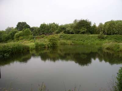
This is one of the remaining reservoirs. |
|
|